Black Monk Lakes
Lake, Pool, Pond, Freshwater Marsh in Worcestershire Wychavon
England
Black Monk Lakes

Located in Worcestershire, England, Black Monk Lakes is a picturesque collection of freshwater bodies encompassing lakes, pools, ponds, and a freshwater marsh. This tranquil natural site offers a diverse range of habitats, attracting a variety of wildlife and serving as a haven for nature enthusiasts and birdwatchers alike.
The lakes at Black Monk Lakes are the main attraction, covering a substantial area and providing a serene environment for fishing and recreational activities. Anglers frequent these waters to catch a variety of fish species, including carp, pike, tench, and roach. With well-maintained banks and peaceful surroundings, the lakes offer a perfect setting for a relaxing day by the water.
Adjacent to the lakes, visitors can explore the pools and ponds that enhance the natural beauty of the surrounding area. These smaller bodies of water are home to a diverse array of aquatic plants and invertebrates, creating a vibrant ecosystem that supports a wealth of wildlife. Dragonflies and damselflies can often be spotted hovering above the water's surface, while frogs and newts provide a lively presence in and around the ponds.
Black Monk Lakes also boasts a freshwater marsh, characterized by its wetland vegetation and unique ecosystem. This marshland serves as a crucial habitat for many bird species, including herons, swans, ducks, and geese. Throughout the year, birdwatchers flock to the site to observe the numerous species that reside or migrate through the area, making it a popular destination for ornithological enthusiasts.
Overall, Black Monk Lakes in Worcestershire offers a diverse and captivating natural landscape, with its lakes, pools, ponds, and freshwater marsh providing a haven for wildlife and a serene escape for visitors seeking tranquility in the heart of nature.
If you have any feedback on the listing, please let us know in the comments section below.
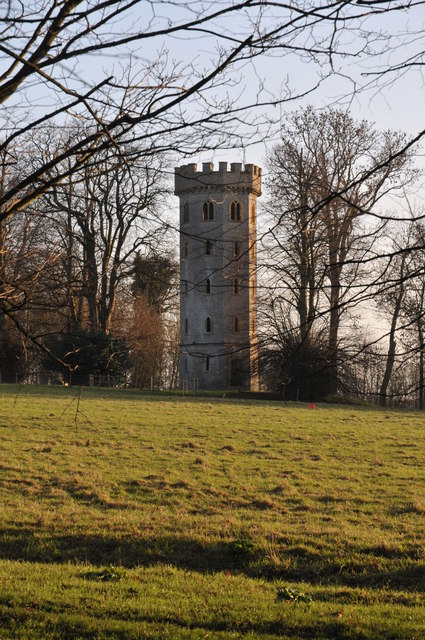
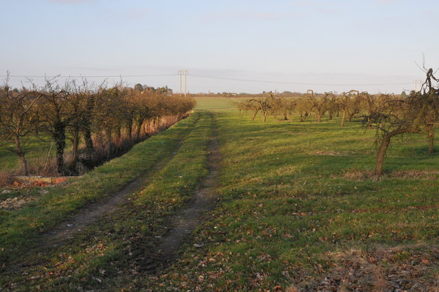
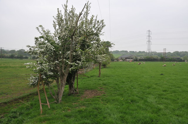
Black Monk Lakes Images
Images are sourced within 2km of 52.121728/-1.9526026 or Grid Reference SP0347. Thanks to Geograph Open Source API. All images are credited.


Black Monk Lakes is located at Grid Ref: SP0347 (Lat: 52.121728, Lng: -1.9526026)
Administrative County: Worcestershire
District: Wychavon
Police Authority: West Mercia
What 3 Words
///shopper.dignify.reporter. Near Harvington, Worcestershire
Nearby Locations
Related Wikis
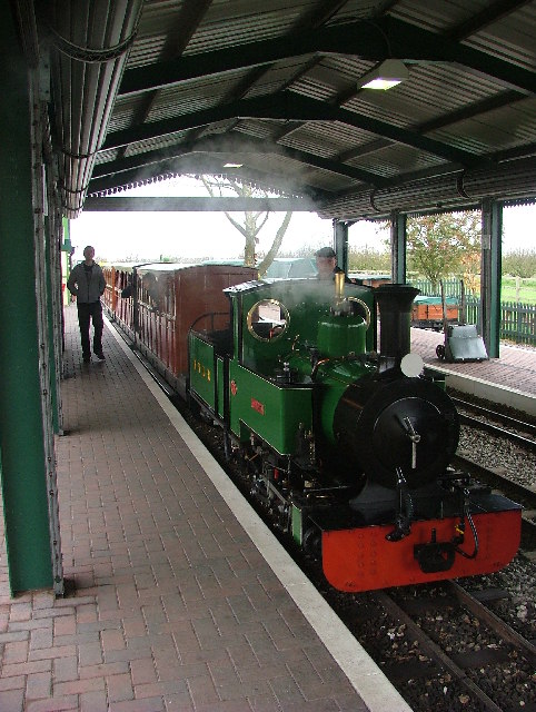
Evesham Vale Light Railway
The Evesham Vale Light Railway is a 15 in (381 mm) gauge railway that operates in Evesham Country Park in Worcestershire, England. == Route == The railway...

Battle of Evesham
The Battle of Evesham (4 August 1265) was one of the two main battles of 13th century England's Second Barons' War. It marked the defeat of Simon de Montfort...
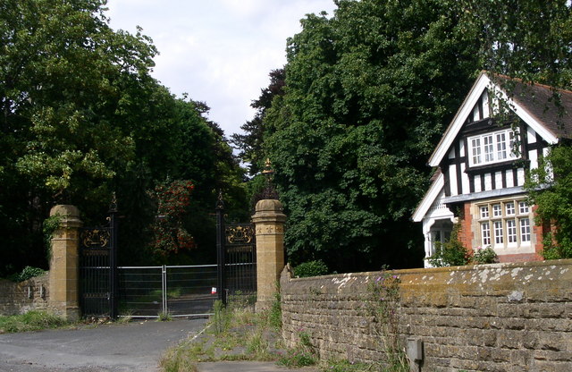
Wood Norton Hall
Wood Norton Hall is a Grade II* listed Victorian stately home to the northwest of Evesham, Worcestershire, England. It was the last home in England of...
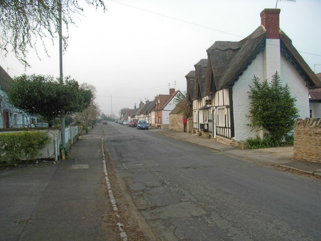
Offenham
Offenham is a large rural village and civil parish in the Wychavon district of Worcestershire, England, located about three miles east of Evesham, in the...
Nearby Amenities
Located within 500m of 52.121728,-1.9526026Have you been to Black Monk Lakes?
Leave your review of Black Monk Lakes below (or comments, questions and feedback).