Roms Clough
Valley in Yorkshire
England
Roms Clough

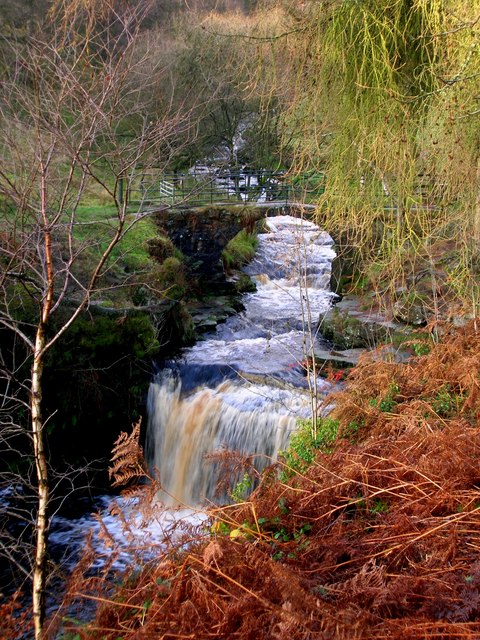
Roms Clough is a picturesque valley located in the county of Yorkshire, England. Nestled within the beautiful countryside, this hidden gem offers visitors a tranquil and serene escape from the hustle and bustle of city life.
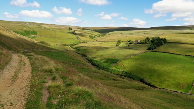
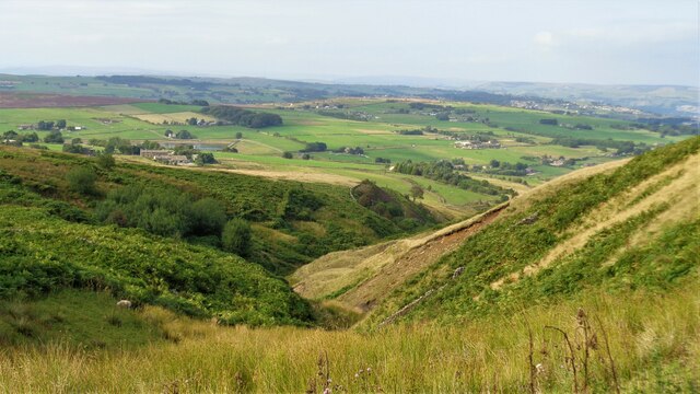
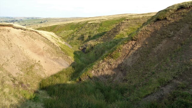
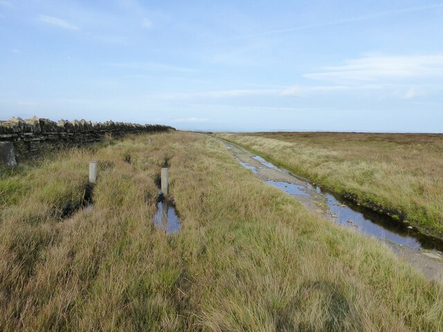
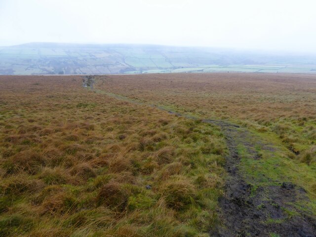
The valley is characterized by its rolling hills, lush green meadows, and a meandering river that flows through its heart. The river, known as Roms Clough Beck, is lined with ancient woodland, creating a stunning backdrop for nature enthusiasts and photographers alike. The valley is home to a diverse range of flora and fauna, making it a haven for wildlife lovers.
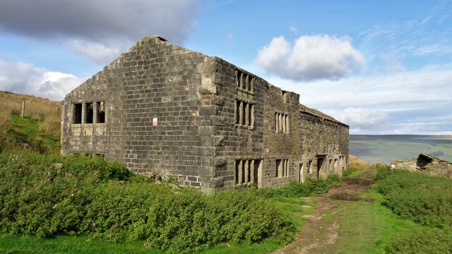
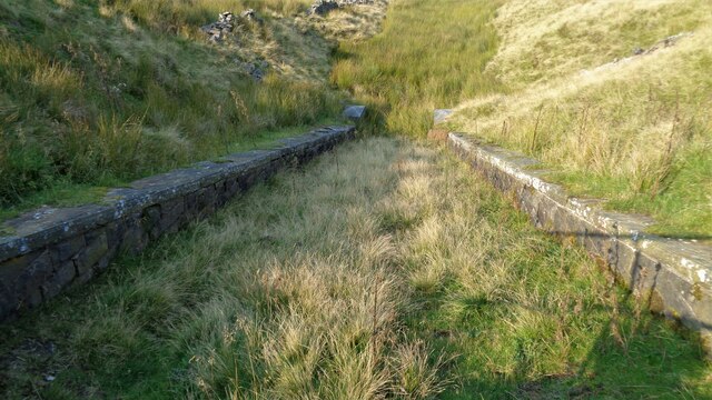
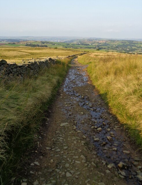
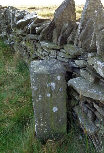
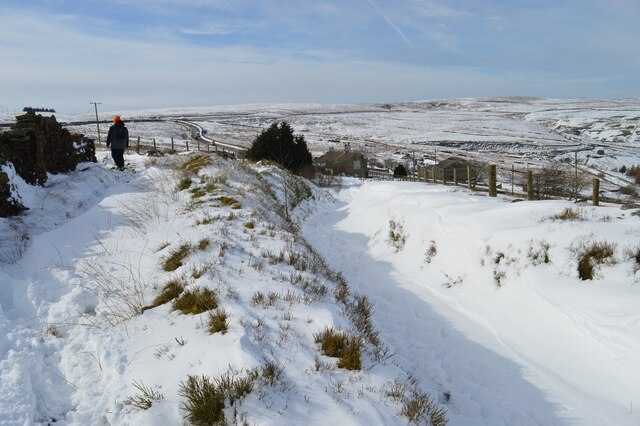
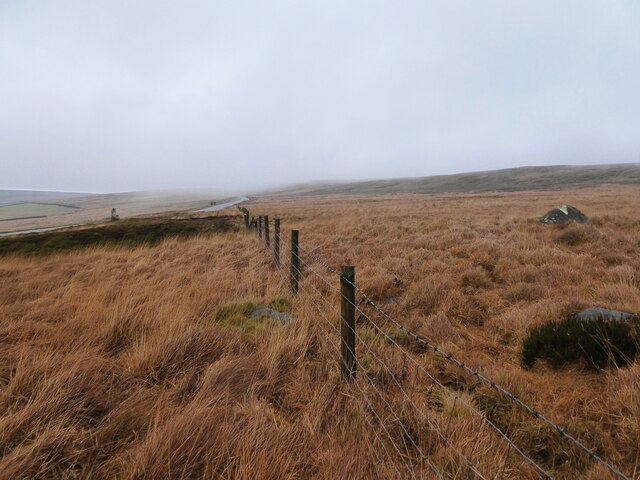
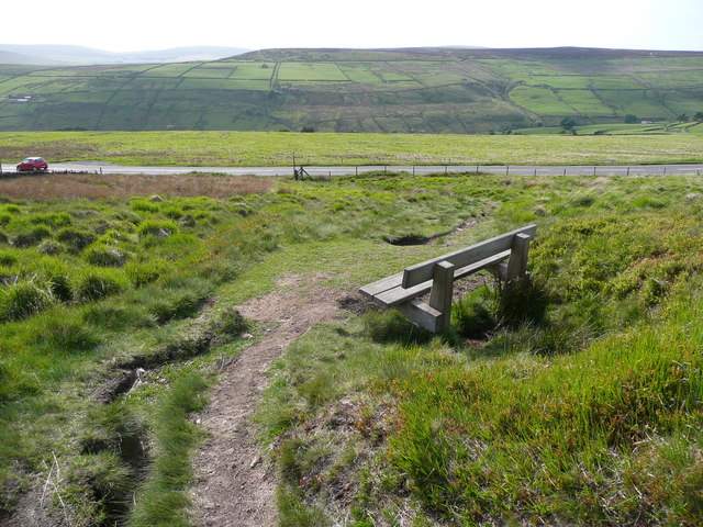
Roms Clough is also famous for its walking trails, attracting hikers and ramblers from far and wide. The well-maintained paths wind through the valley, providing breathtaking views at every turn. Whether you're a seasoned walker or a casual stroller, there are routes to suit all abilities. Along the way, you may come across charming stone bridges, rustic farmhouses, and even remnants of old mills, showcasing the valley's rich history.
For those seeking a more adventurous experience, Roms Clough offers opportunities for rock climbing and abseiling. The dramatic cliffs and crags provide a challenging terrain for climbers of all skill levels.
In addition to its natural beauty, Roms Clough is also known for its warm hospitality. The valley is dotted with cozy country pubs and tea rooms, where visitors can indulge in traditional Yorkshire fare and relax after a long day of exploring.
Overall, Roms Clough is a captivating destination that promises a delightful blend of natural wonders, outdoor activities, and a warm community atmosphere.
If you have any feedback on the listing, please let us know in the comments section below.
Roms Clough Images
Images are sourced within 2km of 53.788135/-1.9924801 or Grid Reference SE0032. Thanks to Geograph Open Source API. All images are credited.


Roms Clough is located at Grid Ref: SE0032 (Lat: 53.788135, Lng: -1.9924801)
Division: West Riding
Unitary Authority: Calderdale
Police Authority: West Yorkshire
What 3 Words
///anyway.jetliner.forms. Near Oxenhope, West Yorkshire
Nearby Locations
Related Wikis
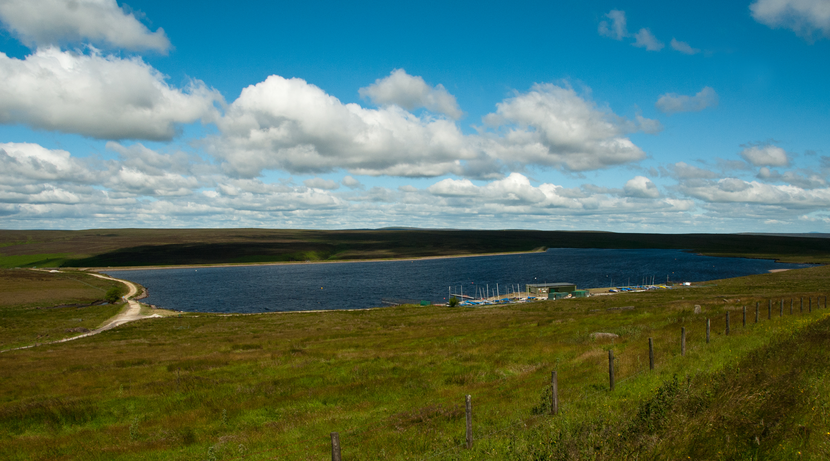
Warley Moor Reservoir
Warley Moor Reservoir, also known as Fly Flatts Reservoir, is a drinking water reservoir in West Yorkshire, England, owned and operated by Yorkshire Water...

Worth Valley
Worth Valley is a ward in the City of Bradford Metropolitan District Council, West Yorkshire. The population of the ward taken at the 2011 Census was 14...

Wainsgate Baptist Church
Wainsgate Baptist Church is a redundant chapel standing in an elevated position above the town of Hebden Bridge, West Yorkshire, England (grid reference...

Oxenhope
Oxenhope is a village and civil parish near Keighley in the metropolitan borough of Bradford, West Yorkshire, England. It was historically part of the...
Nearby Amenities
Located within 500m of 53.788135,-1.9924801Have you been to Roms Clough?
Leave your review of Roms Clough below (or comments, questions and feedback).