Woodale Bottom

Valley in Yorkshire Richmondshire

England

Woodale Bottom

Above Carperby One of several Landrover tracks which make for easy walking over bleak moorlands.
Above Carperby Credit: Colin Gregory

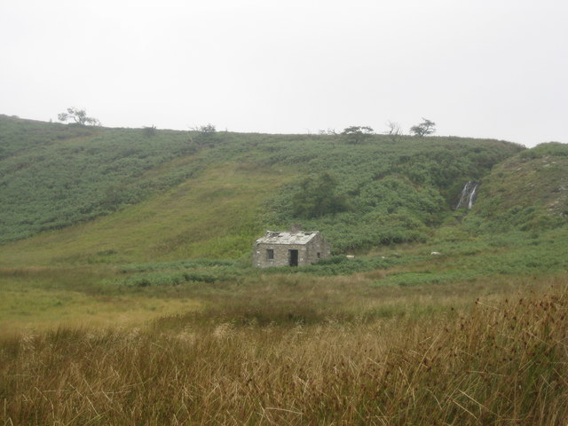
Woodale Bottom is a picturesque valley located in the county of Yorkshire, England. Nestled between rolling hills and lush greenery, this idyllic countryside setting is a haven for nature enthusiasts and those seeking a peaceful retreat.

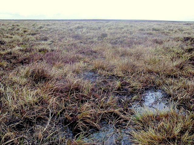
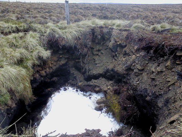
The valley is characterized by its dense woodlands, which give it its name. Towering oak, beech, and ash trees provide a rich canopy, creating a serene and tranquil ambiance. The woodland floor is adorned with an array of wildflowers, adding bursts of color to the landscape.

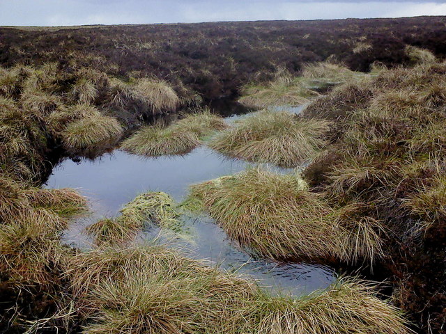
Woodale Bottom is intersected by a meandering river, known as the Woodale River, which flows through the heart of the valley. The river is a popular spot for fishing enthusiasts, who are drawn to its abundance of trout and salmon. The gentle babbling of the water and the soothing sound of birdsong create a calming atmosphere.

The valley is also home to a diverse range of wildlife, including deer, foxes, and a wide variety of bird species. Nature lovers can often spot these creatures while exploring the many walking trails that crisscross the area.

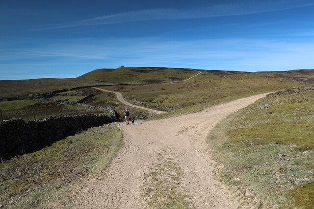
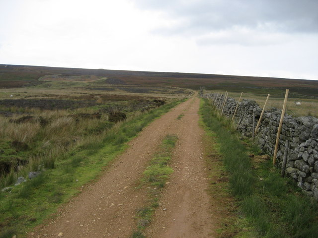
Woodale Bottom is a popular destination for outdoor activities, such as hiking, cycling, and birdwatching. The valley offers an extensive network of well-maintained trails that cater to all skill levels. These trails provide breathtaking views of the surrounding countryside and the opportunity to immerse oneself in the beauty of nature.

In summary, Woodale Bottom, Yorkshire, is a stunning valley that showcases the natural beauty of the English countryside. With its lush woodlands, meandering river, and diverse wildlife, it offers a peaceful and rejuvenating escape from the hustle and bustle of everyday life.

If you have any feedback on the listing, please let us know in the comments section below.

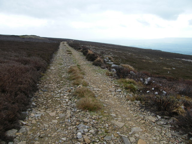
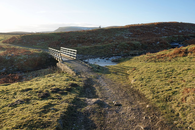
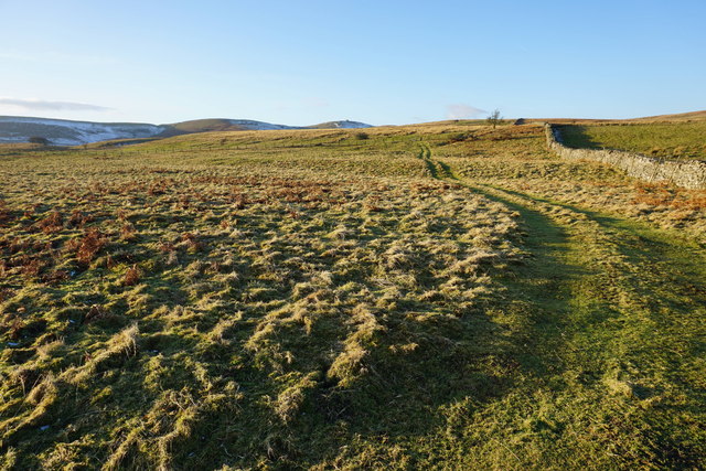
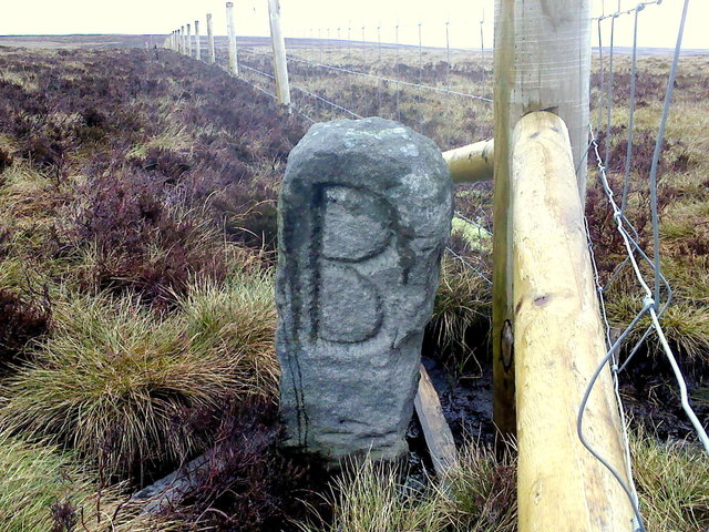
Woodale Bottom Images

Images are sourced within 2km of 54.335288/-2.0067174 or Grid Reference SD9993. Thanks to Geograph Open Source API. All images are credited.

Above Carperby One of several Landrover tracks which make for easy walking over bleak moorlands.
Above Carperby
One of several Landrover tracks which make for easy walking over bleak moorlands.
Footbridge and Ford West Bolton
Footbridge over Beldon Beck The map just marks this crossing as a ford. There is a ford to the right of the bridge, but the bridge is very useful.
Footbridge over Beldon Beck
The map just marks this crossing as a ford. There is a ford to the right of the bridge, but the bridge is very useful.
Track to Lingy Pasture This is not marked as a route on the map but provides useful access further onto the moor. Greenhaw Hut can be seen in the distance,
Track to Lingy Pasture
This is not marked as a route on the map but provides useful access further onto the moor. Greenhaw Hut can be seen in the distance,
South Grain With evidence of former lead mining activities.
South Grain
With evidence of former lead mining activities.
The Big "B" Boundary stone on Apedale Head. The "B" is for Bolton. Although it could quite easily be for bog!
The Big "B"
Boundary stone on Apedale Head. The "B" is for Bolton. Although it could quite easily be for bog!
Across the bog A whole lot of splashing & squelching in this area of Virgin Moss.
Across the bog
A whole lot of splashing & squelching in this area of Virgin Moss.
Beginning to flow downhill A small stream begins in the boggy waste of Virgin Moss at the head of Apedale.
Beginning to flow downhill
A small stream begins in the boggy waste of Virgin Moss at the head of Apedale.
Snow! A disused mine shaft on Virgin Moss hides a patch of snow from last winter. This mine shaft seems to be actively collapsing in on itself and has the remains of a very old fence around it.
Snow!
A disused mine shaft on Virgin Moss hides a patch of snow from last winter. This mine shaft seems to be actively collapsing in on itself and has the remains of a very old fence around it.
Lunch spot A stone shelter has been built into the side of this old lead mine; with a flat stone utilised as a seat it was quite pleasant.
Lunch spot
A stone shelter has been built into the side of this old lead mine; with a flat stone utilised as a seat it was quite pleasant.
Estate track dropping to cross Beldon Beck The track turning right here heads for old lead mining workings, the original reason for the existence of these ways. Ahead, the track drops to cross Beldon Beck before climbing to Carperby Moor on its way down to Carperby in Wensleydale. Unlike many of the lead mine access routes in Swaledale, these in Wensleydale (where lead mining failed earlier) have not become public rights of way under the Countryside Act 1949, but the area is all Access Land under the more recent CROW Act, so walkers are free to roam. They are kept in good condition to facilitate access supporting the grouse shooting interests on the moor, which enable the nineteenth century industrial scars on the landscape to be supplemented by ugly burn scars in the heather moorland.
Estate track dropping to cross Beldon Beck
The track turning right here heads for old lead mining workings, the original reason for the existence of these ways. Ahead, the track drops to cross Beldon Beck before climbing to Carperby Moor on its way down to Carperby in Wensleydale. Unlike many of the lead mine access routes in Swaledale, these in Wensleydale (where lead mining failed earlier) have not become public rights of way under the Countryside Act 1949, but the area is all Access Land under the more recent CROW Act, so walkers are free to roam. They are kept in good condition to facilitate access supporting the grouse shooting interests on the moor, which enable the nineteenth century industrial scars on the landscape to be supplemented by ugly burn scars in the heather moorland.
Locker Tarn (1) Seldom visited and awkward to reach - I felt I had to do my duty and geograph this feature. I would have been trespassing until very recently, but thanks to Open Access Agreements it is now allowable
Locker Tarn (1)
Seldom visited and awkward to reach - I felt I had to do my duty and geograph this feature. I would have been trespassing until very recently, but thanks to Open Access Agreements it is now allowable
Locker Tarn (2) This shows the tarn with Great Wegber behind.  Taken on a misty morning, giving an eerie isolated feel to the place
Locker Tarn (2)
This shows the tarn with Great Wegber behind. Taken on a misty morning, giving an eerie isolated feel to the place
Track near Tewfit Mires This good track - not marked on my map - I presume is maintained by the shooting fraternity.  It connects Greenhaw Hut to the vast expanse of moorland that separates Wensleydale from Swaledale.
Track near Tewfit Mires
This good track - not marked on my map - I presume is maintained by the shooting fraternity. It connects Greenhaw Hut to the vast expanse of moorland that separates Wensleydale from Swaledale.
Collier Gate Spoil Heaps from mining activities in this remote part of Bolton Moor
Collier Gate
Spoil Heaps from mining activities in this remote part of Bolton Moor
Above Bob Scar Following a wall eastwards in moorland between Wensleydale and Swaledale
Above Bob Scar
Following a wall eastwards in moorland between Wensleydale and Swaledale
Ruined Cabin, Locker Tarn Situated by a waterfall at the northern end of Locker Tarn, high above Wensleydale
Ruined Cabin, Locker Tarn
Situated by a waterfall at the northern end of Locker Tarn, high above Wensleydale
Locker Tarn Quite often in the summer there is little water to be seen. As the photograph indicates, a watering hole for a wide range of bird/wild life.
Locker Tarn
Quite often in the summer there is little water to be seen. As the photograph indicates, a watering hole for a wide range of bird/wild life.
Show me another place!

Woodale Bottom is located at Grid Ref: SD9993 (Lat: 54.335288, Lng: -2.0067174)

Division: North Riding

Administrative County: North Yorkshire

District: Richmondshire

Police Authority: North Yorkshire

What 3 Words

///polo.videos.appointed. Near Leyburn, North Yorkshire

Nearby Locations

Woodale Woodale Bottom

Related Wikis

Carperby-cum-Thoresby

Carperby-cum-Thoresby is a civil parish in the Richmondshire district of North Yorkshire, England. The parish contains the village of Carperby and the...

Woodhall, North Yorkshire

Woodhall is a small hamlet in Wensleydale, North Yorkshire, England. It is about 2 miles (3 km) away from Askrigg and 3 miles (5 km) north west of Aysgarth...

Carperby

Carperby is a village in the Yorkshire Dales, North Yorkshire, England. It lies 7 miles (11 km) west of Leyburn. == Etymology == The derivation of the...

St Oswald's Church, Castle Bolton

St Oswald's Church, Castle Bolton is a Grade II* listed parish church in the Church of England: 106  located in Castle Bolton, North Yorkshire. == History... ==

Nearby Amenities

Located within 500m of 54.335288,-2.0067174
Disused: yes
Historic: mine_shaft
Man Made: mineshaft
Mineral: lead
Source: NPE
Lat/Long: 54.338277/-2.0117312
The data included in this document is from www.openstreetmap.org. The data is made available under ODbL.

Have you been to Woodale Bottom?

Leave your review of Woodale Bottom below (or comments, questions and feedback).