Calf Hey Clough

Valley in Yorkshire

England

Calf Hey Clough

Barker Cote Farmhouse Converted to residential
Barker Cote Farmhouse Credit: Kevin Waterhouse

Calf Hey Clough is a picturesque valley located in Yorkshire, England. It is situated within the larger area of the South Pennines, known for its stunning landscapes and natural beauty. The valley is nestled between the towns of Burnley and Todmorden, providing a tranquil escape from the hustle and bustle of city life.

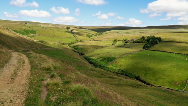
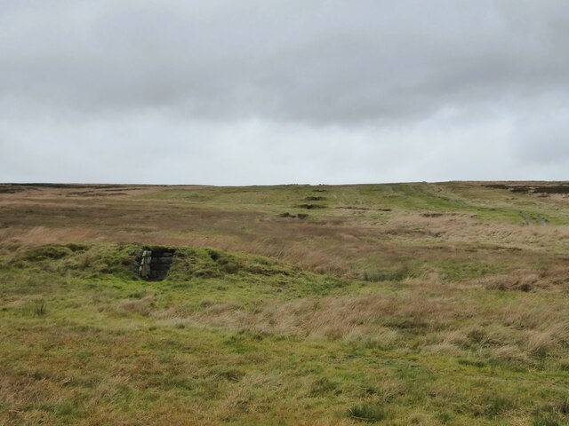
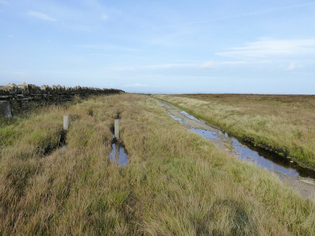
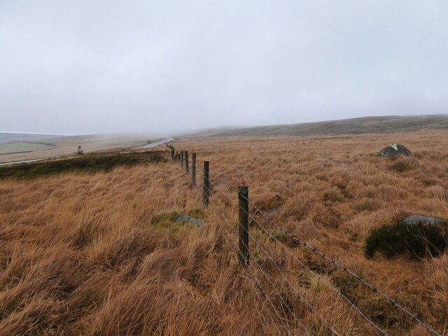
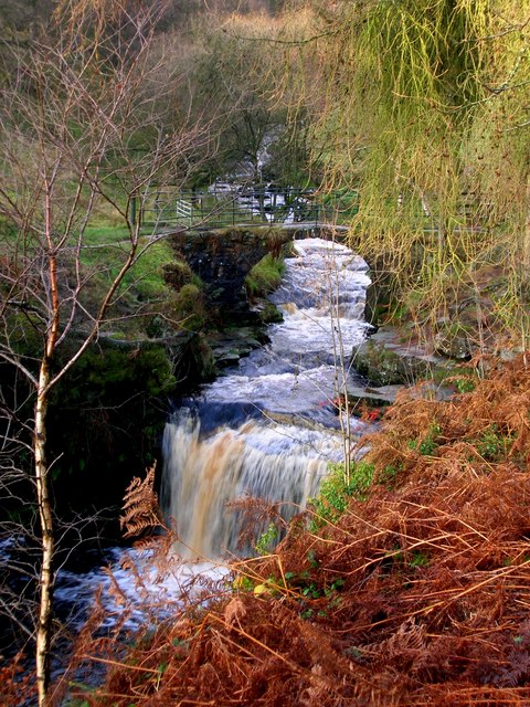
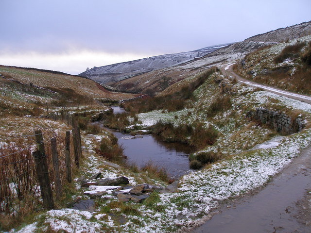
Calf Hey Clough is characterized by its rolling hills, dense woodlands, and meandering streams. The valley is home to a diverse range of wildlife, including various species of birds, mammals, and insects. It offers a haven for nature enthusiasts and provides ample opportunities for hiking, birdwatching, and photography.

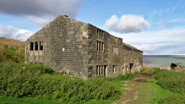
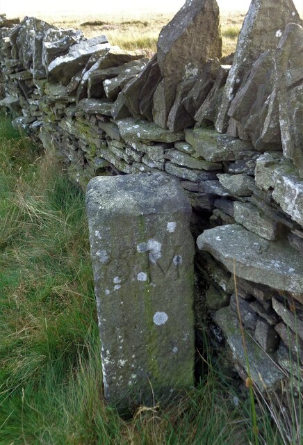
The valley is also renowned for its rich industrial heritage. In the 19th century, Calf Hey Clough was a hub for textile production, with several mills operating in the area. Although the mills are no longer in operation, remnants of this industrial past can still be seen, adding a historical dimension to the valley's charm.

Visitors to Calf Hey Clough can enjoy the peacefulness of the surroundings and take in the breathtaking views from various vantage points. The valley boasts several well-maintained walking trails, allowing visitors to explore its natural wonders at their leisure. Additionally, the area is dotted with quaint villages and traditional pubs, providing opportunities for rest and refreshment.

Overall, Calf Hey Clough offers a delightful blend of natural beauty, historical significance, and recreational activities. It is a hidden gem in Yorkshire, inviting visitors to immerse themselves in its tranquility and embrace the wonders of the great outdoors.

If you have any feedback on the listing, please let us know in the comments section below.

Calf Hey Clough Images

Images are sourced within 2km of 53.791576/-2.0174497 or Grid Reference SD9832. Thanks to Geograph Open Source API. All images are credited.

Barker Cote Farmhouse Converted to residential
Barker Cote Farmhouse
Converted to residential
Nook Farmhouse Named Nook on modern OS maps but originally Upper Sunny Bank Farmhouse with a lower Sunny Bank nearby
Nook Farmhouse
Named Nook on modern OS maps but originally Upper Sunny Bank Farmhouse with a lower Sunny Bank nearby
Head of Crimsworth Dean The track is descending to Grain Water Bridge
Head of Crimsworth Dean
The track is descending to Grain Water Bridge
Shooting Hut by Dean Gate To service several shooting butts in the area
Shooting Hut by Dean Gate
To service several shooting butts in the area
The Deep Nitch and The Waste OS maps have the Deep Nitch to the left of the fence line and The Waste to the right in this view. To the right following the fence line is an unmarked path heading to Top of Stairs.
The Deep Nitch and The Waste
OS maps have the Deep Nitch to the left of the fence line and The Waste to the right in this view. To the right following the fence line is an unmarked path heading to Top of Stairs.
Grouse butts on Hare Edge A sign in the lowest butt names this range as Bigland Way. These butts will be serviced from the small hamlet of Walshaw a short distance south.
Grouse butts on Hare Edge
A sign in the lowest butt names this range as Bigland Way. These butts will be serviced from the small hamlet of Walshaw a short distance south.
Stone Heap Stoop At the top of Stairs Lane, a boundary stone
Stone Heap Stoop
At the top of Stairs Lane, a boundary stone
Stairs Lane Passing the Stone Heap Stoop at Top of Stairs
Stairs Lane
Passing the Stone Heap Stoop at Top of Stairs
Robin Delph Flat Rough moorland rising up to Clattering Edge from a disused quarry. There is a gate behind the camera through the fence line in this open access land.
Robin Delph Flat
Rough moorland rising up to Clattering Edge from a disused quarry. There is a gate behind the camera through the fence line in this open access land.
Waterfall and bridge at Lumb Hole
Crimsworth Dean
Crimsworth Dean
Footpath on Dick Delf Hill Predictably it was waterlogged, and the small drainage channel alongside it hasn't made much impression. However there is always a way round.
Footpath on Dick Delf Hill
Predictably it was waterlogged, and the small drainage channel alongside it hasn't made much impression. However there is always a way round.
Some activity on the moor tops There are several of these sites, but I don't know what they are for. A square of peat has been lifted and then weighed down with breeze blocks. Meanwhile the original hole has filled up with water.
Some activity on the moor tops
There are several of these sites, but I don't know what they are for. A square of peat has been lifted and then weighed down with breeze blocks. Meanwhile the original hole has filled up with water.
Boundary stone on Oxenhope Stoop Hill
Path to Oxenhope Stoop Hill This path comes from Dick Delf Hill and there is a small depression between the two. Water drains to right and left, and the beginning of Robin Dike which flows to the south is quite visible from the path.
Path to Oxenhope Stoop Hill
This path comes from Dick Delf Hill and there is a small depression between the two. Water drains to right and left, and the beginning of Robin Dike which flows to the south is quite visible from the path.
Western view over Horodiddle to the three reservoirs Gorple Upper and Lower Reservoirs are situated between Heptonstall Moor [left] and Shuttleworth Moor [centre]; Widdop Reservoir is between Shuttleworth Moor and Widdop Moor [right].
Western view over Horodiddle to the three reservoirs
Gorple Upper and Lower Reservoirs are situated between Heptonstall Moor [left] and Shuttleworth Moor [centre]; Widdop Reservoir is between Shuttleworth Moor and Widdop Moor [right].
Below Shackleton Knoll View looking southeast from the Calder/Aire Link Path.
Below Shackleton Knoll
View looking southeast from the Calder/Aire Link Path.
Just south of Nook Looking south down Grimsworth Dean/Middle Dean.
Stoodley Pike in the background.
Just south of Nook
Looking south down Grimsworth Dean/Middle Dean. Stoodley Pike in the background.
Show me another place!

Calf Hey Clough is located at Grid Ref: SD9832 (Lat: 53.791576, Lng: -2.0174497)

Division: West Riding

Unitary Authority: Calderdale

Police Authority: West Yorkshire

What 3 Words

///jumbled.shells.champions. Near Oxenhope, West Yorkshire

Related Wikis

Walshaw Dean Reservoirs

Walshaw Dean Reservoirs are three reservoirs situated above Hebden Bridge, West Yorkshire, England. They are between Hebden Bridge and Top Withins, a ruined...

Top Withens

Top Withens (SD981353) (also known as Top Withins) is a ruined farmhouse near Haworth, West Yorkshire, England, which is said to have been the inspiration...

Blake Dean Railway

The Blake Dean Railway was an approximately 5.5 miles (9 km) long 3 ft (914 mm) gauge narrow gauge railway on the edge of Hardcastle Crags Valley in West...

Hardcastle Crags

Hardcastle Crags is a wooded Pennine valley in West Yorkshire, England, owned by the National Trust. Historically part of the West Riding of Yorkshire...

Have you been to Calf Hey Clough?

Leave your review of Calf Hey Clough below (or comments, questions and feedback).