Bishopdale

Valley in Yorkshire Richmondshire

England

Bishopdale

Hargill Bridge Hargill Bridge in Bishopdale crosses Hargill. This date stone is on the eastern parapet. The bridge remains in very good maintained state.
Hargill Bridge Credit: Mel Towler

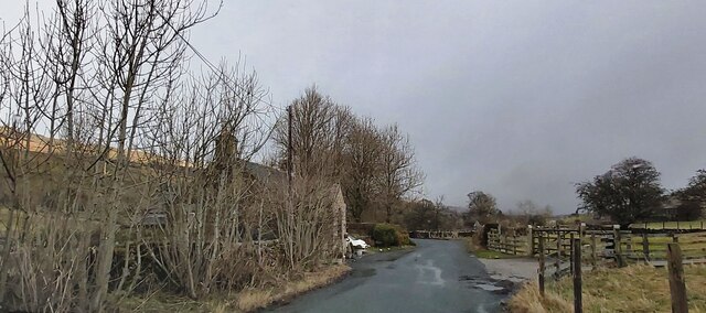
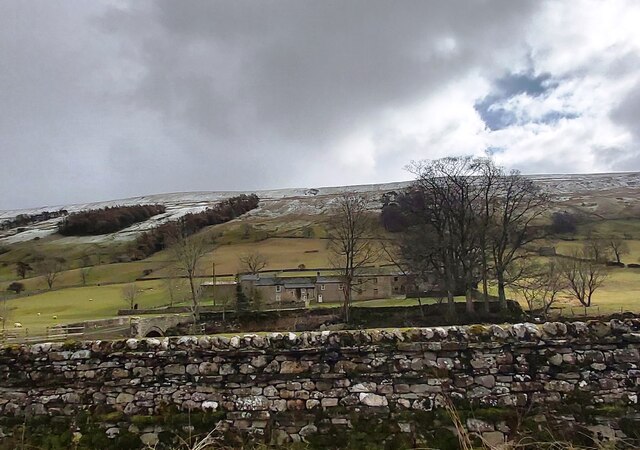
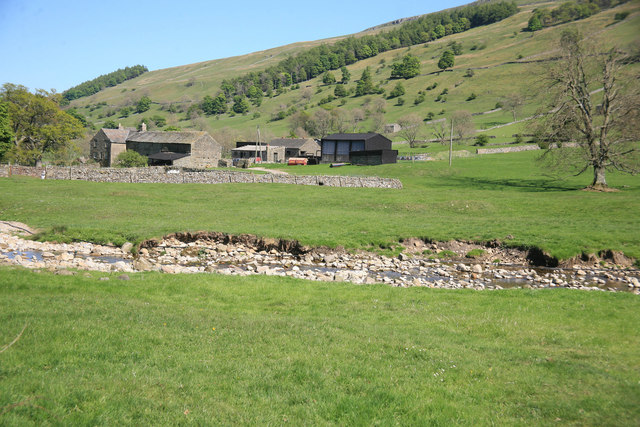
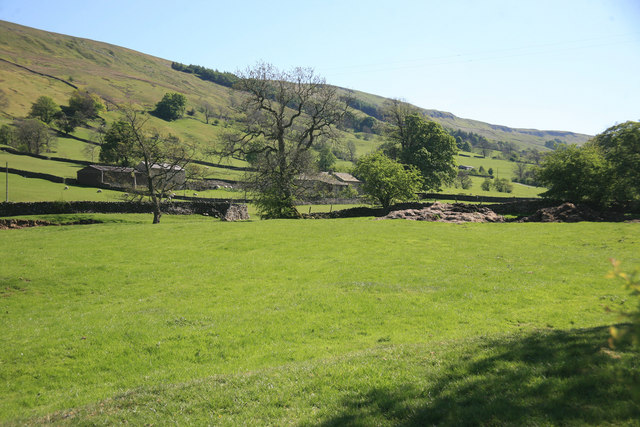
Bishopdale is a picturesque valley located in the Yorkshire Dales National Park, in North Yorkshire, England. Situated to the east of Wensleydale, it is renowned for its stunning natural beauty and tranquil surroundings.

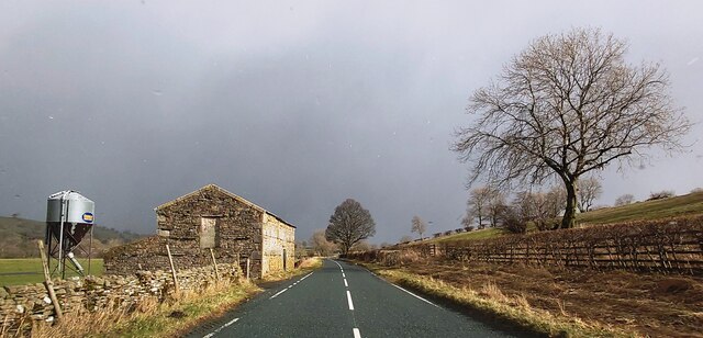
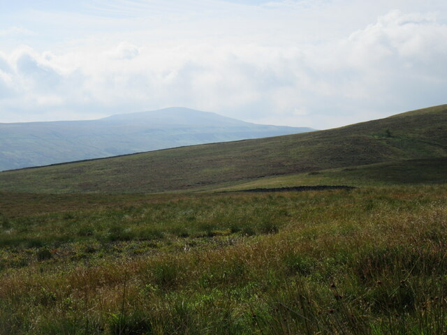
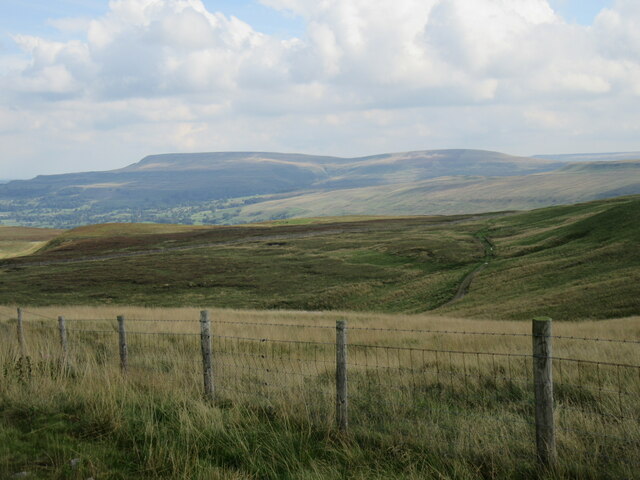
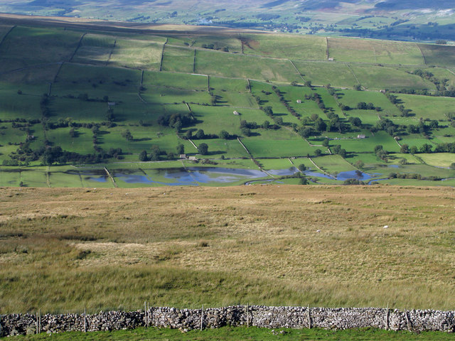
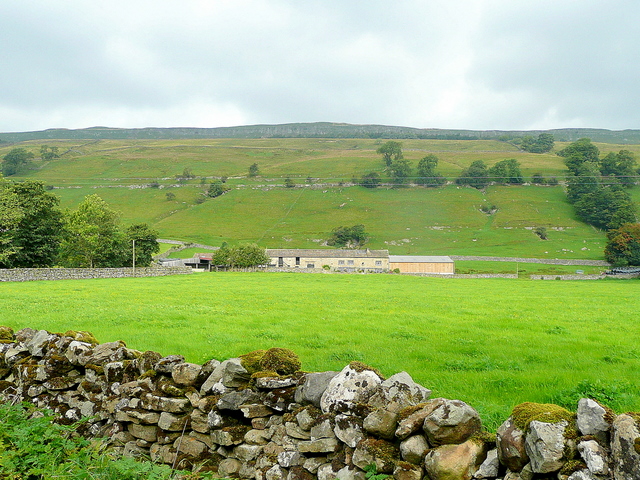
The valley is approximately 5 miles long and is carved out by the River Skell, which meanders through its lush green meadows and woodlands. The landscape is characterized by rolling hills, steep-sided slopes, and rocky outcrops, providing a breathtaking backdrop for visitors.

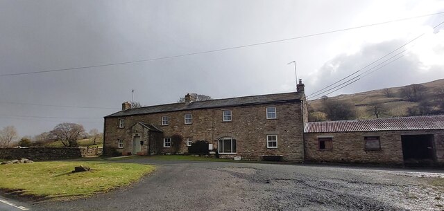
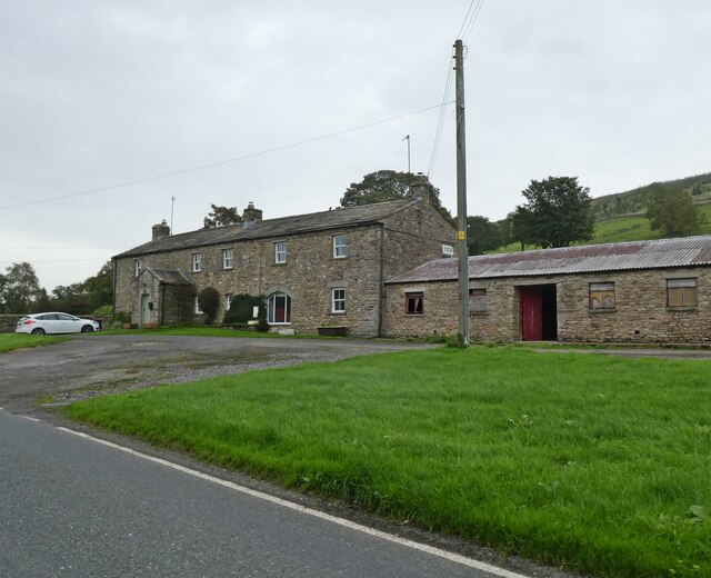
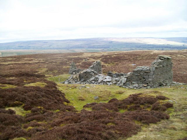
Bishopdale is home to a small number of scattered hamlets and farms, adding to its rural charm and peaceful atmosphere. The main settlement in the valley is West Burton, a quintessential English village with traditional stone-built houses and a village green. Here, visitors can find amenities such as a village store and a pub, which offer a warm welcome and a taste of local hospitality.

The valley is a haven for wildlife enthusiasts and nature lovers, with its diverse flora and fauna. Rare birds, such as the peregrine falcon and red kite, can often be spotted soaring above the valley, while the woodlands are home to a variety of woodland creatures, including badgers and roe deer.

For outdoor enthusiasts, Bishopdale offers a range of activities, including hiking, cycling, and fishing. The valley is crisscrossed by numerous footpaths and bridleways, which lead to stunning viewpoints and hidden gems, such as the impressive waterfall at Aysgarth Falls.

In conclusion, Bishopdale is a true gem within the Yorkshire Dales, offering visitors a chance to escape the hustle and bustle of modern life and immerse themselves in the unspoiled beauty of the countryside.

If you have any feedback on the listing, please let us know in the comments section below.
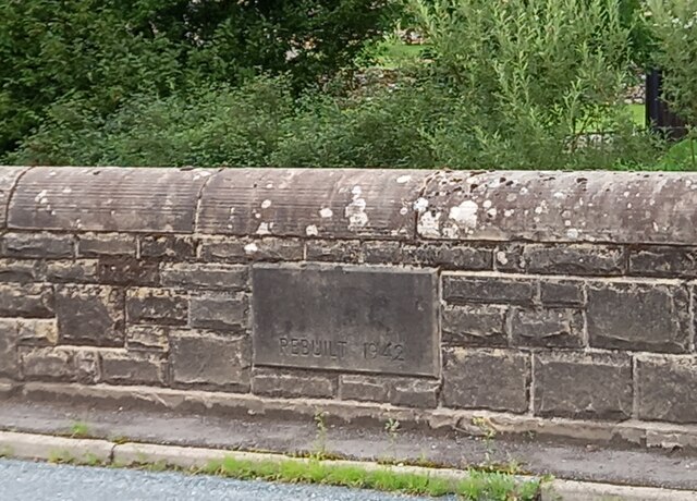
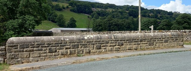
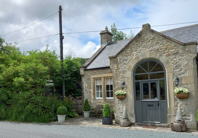
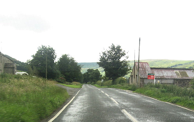
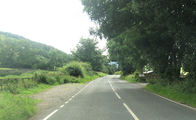
Bishopdale Images

Images are sourced within 2km of 54.254055/-2.0409314 or Grid Reference SD9784. Thanks to Geograph Open Source API. All images are credited.

Hargill Bridge Hargill Bridge in Bishopdale crosses Hargill. This date stone is on the eastern parapet. The bridge remains in very good maintained state.
Hargill Bridge
Hargill Bridge in Bishopdale crosses Hargill. This date stone is on the eastern parapet. The bridge remains in very good maintained state.
Hargill Bridge This is the western parapet of Hargill Bridge in Bishopdale, which crosses Hargill. The bridge was rebuilt in 1942, as stated on a date stone on the opposite parapet.
Hargill Bridge
This is the western parapet of Hargill Bridge in Bishopdale, which crosses Hargill. The bridge was rebuilt in 1942, as stated on a date stone on the opposite parapet.
Bishopdale, old schoolhouse The old schoolhouse is on the west side of the B6160, Bishopdale Lane. On the road facing wall, to the left, there is a benchmark cut into the 2nd and 3rd stone courses. It remains very clear with no wear.
Bishopdale, old schoolhouse
The old schoolhouse is on the west side of the B6160, Bishopdale Lane. On the road facing wall, to the left, there is a benchmark cut into the 2nd and 3rd stone courses. It remains very clear with no wear.
Bishopdale, old schoolhouse A wider angle showing the old schoolhouse, which is now converted into a private home, which is on the west side of the B6160, Bishopdale Lane. On the road facing wall, to the left of the grey front door, is a benchmark cut into the 2nd and 3rd stone courses. It remains very clear with no wear.
Bishopdale, old schoolhouse
A wider angle showing the old schoolhouse, which is now converted into a private home, which is on the west side of the B6160, Bishopdale Lane. On the road facing wall, to the left of the grey front door, is a benchmark cut into the 2nd and 3rd stone courses. It remains very clear with no wear.
The Old School House - Bishopdale
Myers Garth Farm
Myers Garth Farm
East Lane House
East Lane House
B6160 in Bishopdale
B6160 in Bishopdale
Stake Road view Looking SE from Stake Road.
Stake Road view
Looking SE from Stake Road.
Looking towards Penhill Looking towards Penhill from Stake Road.
Looking towards Penhill
Looking towards Penhill from Stake Road.
East Lane House
East Lane House
Ruin on Wasset Fell The ruined remains of one of the buildings that was part of the mine workings, now disused.
Ruin on Wasset Fell
The ruined remains of one of the buildings that was part of the mine workings, now disused.
A view from Bishopsdale Lane across the fields
Myers Garth in the distance
Roughly grassed enclosure below Wasset Fell Road Wasset Fell road descends to Newbiggin from the high ridge on the south-east side of Bishopdale. The view here is from the road at Floutgate Scar over fields to the valley bottom where flooding testifies to the extent of recent rain.
Roughly grassed enclosure below Wasset Fell Road
Wasset Fell road descends to Newbiggin from the high ridge on the south-east side of Bishopdale. The view here is from the road at Floutgate Scar over fields to the valley bottom where flooding testifies to the extent of recent rain.
New House Farm High Scar is the rocky outcrop way above the Bishopdale valley floor.
New House Farm
High Scar is the rocky outcrop way above the Bishopdale valley floor.
B6160 at East Lane House
Howesyke Farm entrance from B6160
Show me another place!

Bishopdale is located at Grid Ref: SD9784 (Lat: 54.254055, Lng: -2.0409314)

Division: North Riding

Administrative County: North Yorkshire

District: Richmondshire

Police Authority: North Yorkshire

What 3 Words

///continued.stress.ballroom. Near Leyburn, North Yorkshire

Related Wikis

Newbiggin, south Wensleydale

Newbiggin is a village and civil parish in Bishopdale, a side dale on the south side of Wensleydale, in the Yorkshire Dales in North Yorkshire, England...

Bishopdale, North Yorkshire

Bishopdale is a dale in the Yorkshire Dales National Park in North Yorkshire, England. The dale is a side dale on the south side of Wensleydale, and extends...

Yorkshire Dales

The Yorkshire Dales are an upland area of the Pennines in England. Most of the area is in the county of North Yorkshire, but it extends into Cumbria and...

Castle Dykes Henge

Castle Dykes Henge is a Class I Neolithic henge earthwork in the Yorkshire Dales National Park in North Yorkshire, England, situated between the villages...

Nearby Amenities

Located within 500m of 54.254055,-2.0409314
Power: pole
Lat/Long: 54.2562723/-2.0345176
Power: pole
Lat/Long: 54.25562/-2.0358475
Power: pole
Lat/Long: 54.254953/-2.0371373
Power: pole
Lat/Long: 54.2542948/-2.0384497
Power: pole
Lat/Long: 54.2536498/-2.0397118
Power: pole
Lat/Long: 54.2529857/-2.0410167
Power: pole
Lat/Long: 54.2524198/-2.0421735
Power: pole
Lat/Long: 54.2518408/-2.0433228
Power: pole
Lat/Long: 54.2511356/-2.0447154
Power: pole
Lat/Long: 54.2506988/-2.0459651
Power: pole
Lat/Long: 54.2568146/-2.0355313
Power: pole
Lat/Long: 54.2573775/-2.0365702
Power: pole
Lat/Long: 54.250278/-2.0406403
Power: pole
Lat/Long: 54.2511048/-2.0414383
Power: pole
Lat/Long: 54.2515285/-2.0417118
The data included in this document is from www.openstreetmap.org. The data is made available under ODbL.

Have you been to Bishopdale?

Leave your review of Bishopdale below (or comments, questions and feedback).