Stub Close Wood
Wood, Forest in Yorkshire Richmondshire
England
Stub Close Wood
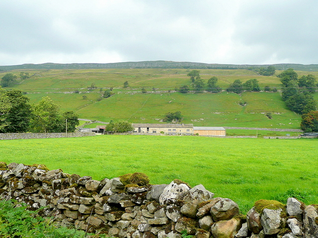
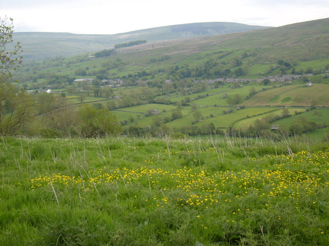
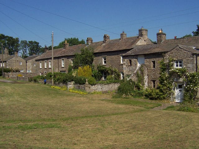
Stub Close Wood is a picturesque woodland located in Yorkshire, England. Spread over an area of approximately 100 acres, it is renowned for its natural beauty and diverse flora and fauna. The wood is situated within the larger Nidderdale Area of Outstanding Natural Beauty, contributing to its overall appeal.
The wood is primarily composed of native broadleaf trees, such as oak, beech, and birch, which create a dense canopy overhead. This provides a sheltered environment for a variety of wildlife species. Visitors to Stub Close Wood can expect to spot numerous woodland birds, including woodpeckers, finches, and owls. In addition, the wood is home to a range of small mammals, such as squirrels, rabbits, and voles.
There are several well-maintained footpaths that wind their way through the wood, allowing visitors to explore its beauty at their leisure. These paths offer stunning views of the surrounding countryside, making Stub Close Wood a popular destination for nature lovers and walkers alike.
The wood is also known for its rich biodiversity, with a wide range of plant species thriving in its fertile soil. Bluebells carpet the forest floor in spring, creating a breathtaking scene of vibrant colors. Other wildflowers, ferns, and mosses can also be found throughout the wood, further enhancing its natural charm.
Overall, Stub Close Wood is a tranquil and enchanting woodland that offers visitors a chance to immerse themselves in nature's beauty. Whether it's for a leisurely stroll or a wildlife-spotting adventure, this wood is a must-visit destination for anyone seeking a peaceful escape in the heart of Yorkshire.
If you have any feedback on the listing, please let us know in the comments section below.
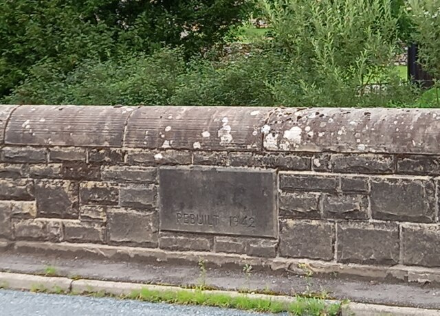
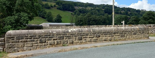
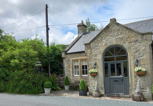
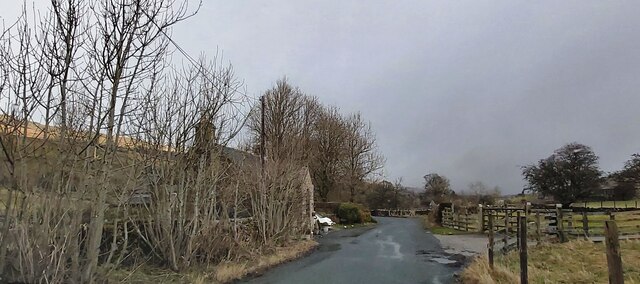
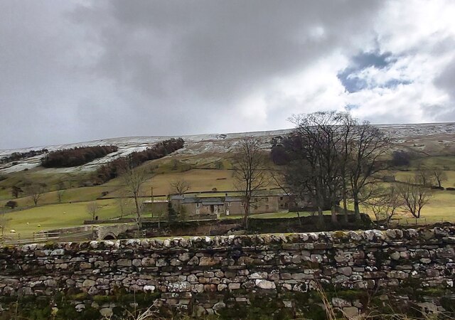
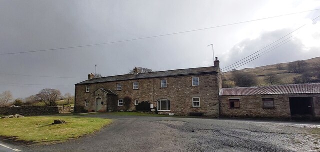
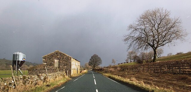
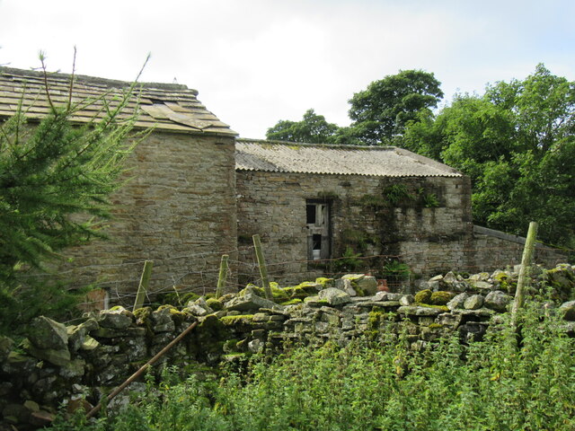
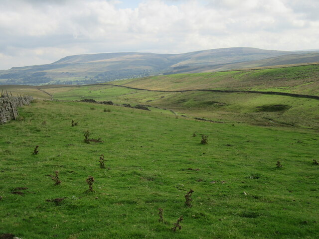
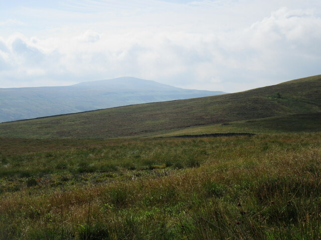
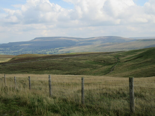
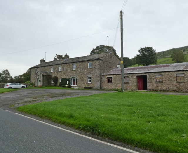
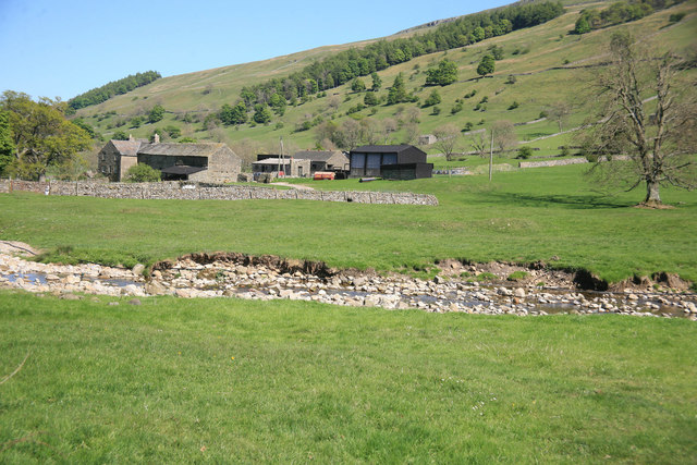
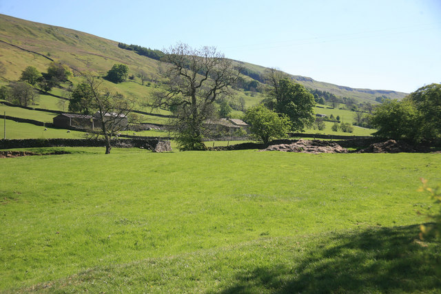
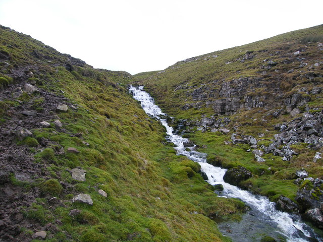
Stub Close Wood Images
Images are sourced within 2km of 54.259347/-2.0443292 or Grid Reference SD9784. Thanks to Geograph Open Source API. All images are credited.
Stub Close Wood is located at Grid Ref: SD9784 (Lat: 54.259347, Lng: -2.0443292)
Division: North Riding
Administrative County: North Yorkshire
District: Richmondshire
Police Authority: North Yorkshire
What 3 Words
///clots.gurgled.suspends. Near Leyburn, North Yorkshire
Nearby Locations
Related Wikis

Castle Dykes Henge
Castle Dykes Henge is a Class I Neolithic henge earthwork in the Yorkshire Dales National Park in North Yorkshire, England, situated between the villages...

Yorkshire Dales
The Yorkshire Dales are an upland area of the Pennines in England. Most of the area is in the county of North Yorkshire, but it extends into Cumbria and...

Newbiggin, south Wensleydale
Newbiggin is a village and civil parish in Bishopdale, a side dale on the south side of Wensleydale, in the Yorkshire Dales in North Yorkshire, England...

Bishopdale, North Yorkshire
Bishopdale is a dale in the Yorkshire Dales National Park in North Yorkshire, England. The dale is a side dale on the south side of Wensleydale, and extends...

Thoralby
Thoralby is a village and civil parish in the Richmondshire district of North Yorkshire, England. It lies south of Aysgarth, is within a mile of both Newbiggin...
Thornton Rust
Thornton Rust is a village and civil parish in North Yorkshire, England. It lies in the Yorkshire Dales about 2 miles (3.2 km) west of Aysgarth, high on...

Burton-cum-Walden
Burton-cum-Walden is a civil parish in North Yorkshire, England, in the Yorkshire Dales National Park. It had a population of 303 according to the 2011...

Walden Head
Walden Head is a hamlet in the Yorkshire Dales, North Yorkshire. It lies 5 miles (8 km) of Aysgarth and to the north is a similar village Walden. The village...
Nearby Amenities
Located within 500m of 54.259347,-2.0443292Have you been to Stub Close Wood?
Leave your review of Stub Close Wood below (or comments, questions and feedback).