Accrington
Settlement in Lancashire Hyndburn
England
Accrington
Accrington is a town located in the county of Lancashire, England. Situated in the heart of the East Lancashire Hills, it is approximately 20 miles north of Manchester. With a population of around 35,000, Accrington is known for its rich industrial history and its significant contribution to the cotton and textile industry during the 19th century.
The town's history dates back to the 13th century when it was first mentioned in historical records. Accrington expanded rapidly during the Industrial Revolution, becoming a major center for cotton spinning and weaving. Today, remnants of its industrial past can still be seen in the form of old mills and factories that once dominated the landscape.
Accrington is home to several notable landmarks and attractions. The Accrington Market Hall, a Grade II listed building, offers a variety of stalls selling fresh produce, clothing, and other goods. The Haworth Art Gallery showcases a remarkable collection of fine and decorative art, including works by renowned artists such as J.M.W. Turner and William H. Grimshaw.
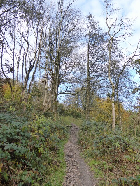
The town also boasts several parks and green spaces, including Oak Hill Park, which provides a peaceful retreat for residents and visitors alike. Accrington Stanley F.C., a professional football club, is another significant aspect of the town's identity, with a loyal fan base and a stadium located on Livingstone Road.
In recent years, efforts have been made to revitalize Accrington, with various regeneration projects aiming to improve the town's infrastructure and attract investment. Accrington continues to be a vibrant community that cherishes its heritage while embracing modern developments.
If you have any feedback on the listing, please let us know in the comments section below.
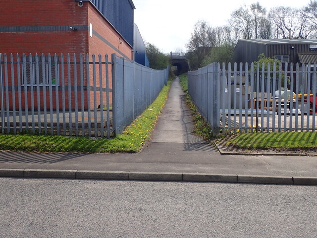
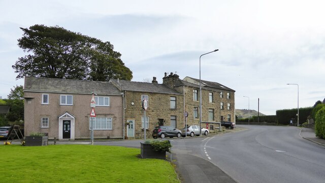
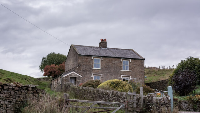
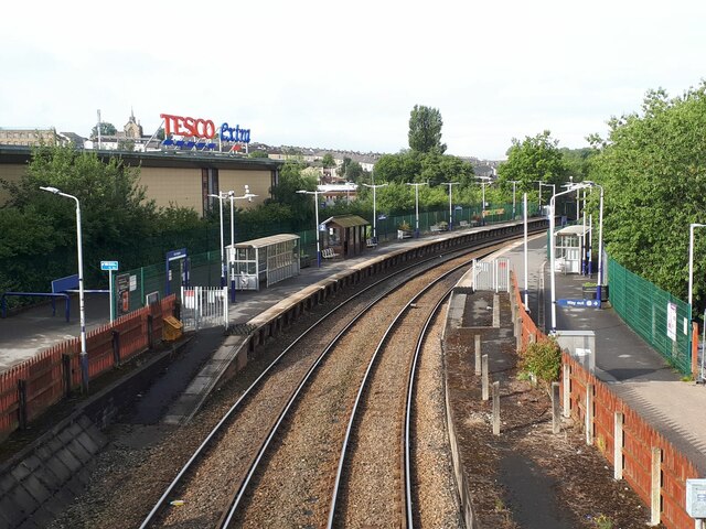
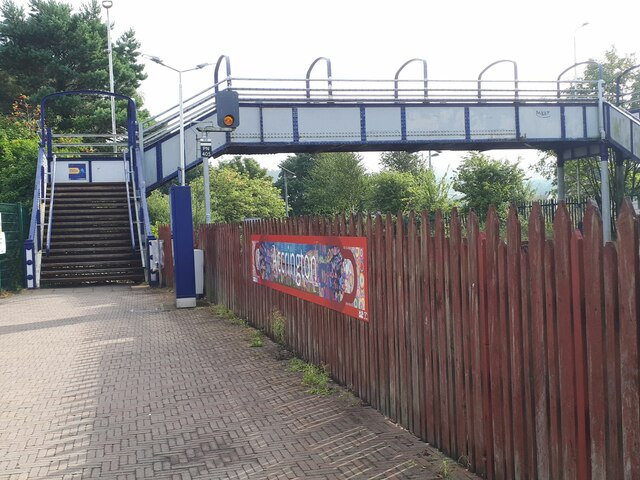
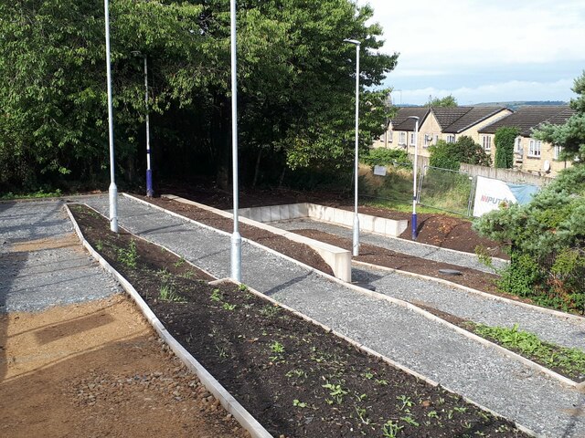
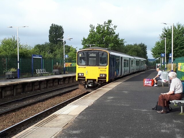
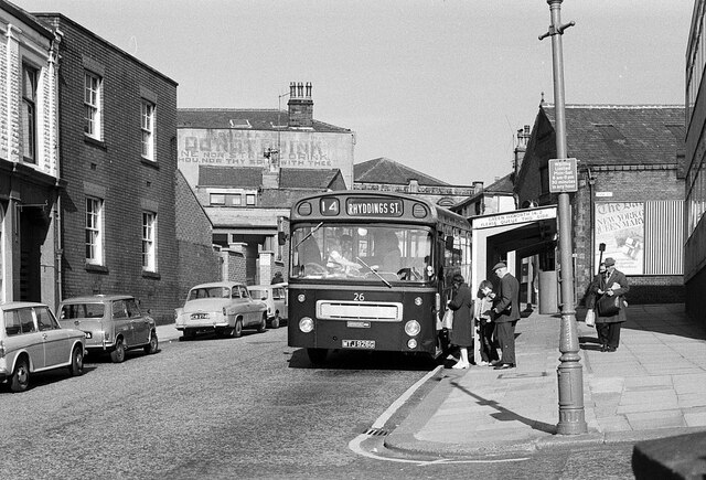
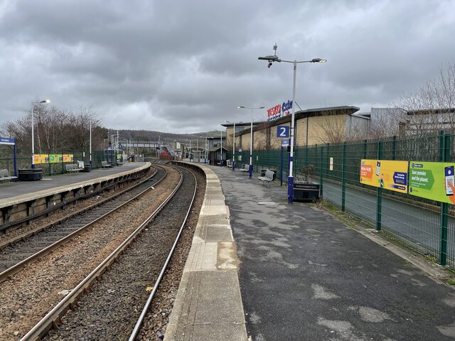
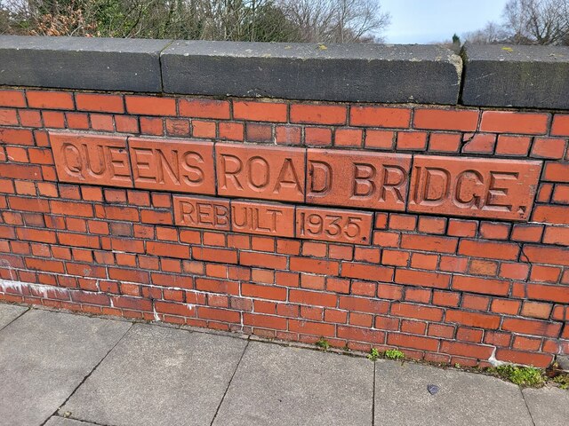
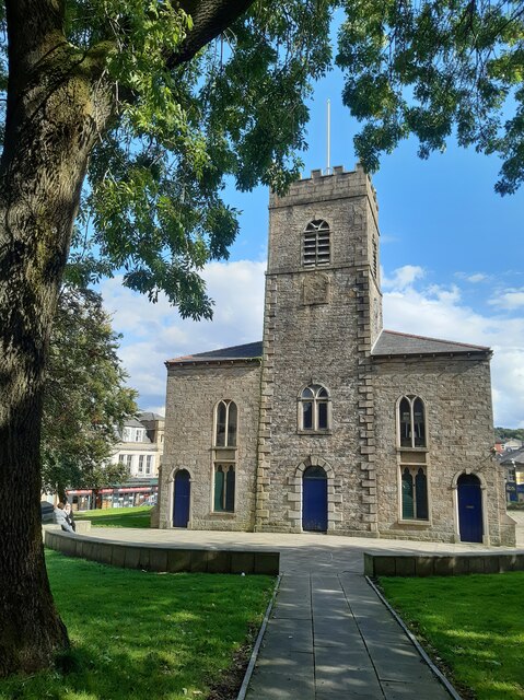
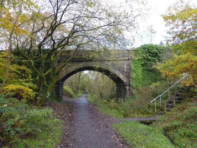
Accrington Images
Images are sourced within 2km of 53.752809/-2.347264 or Grid Reference SD7728. Thanks to Geograph Open Source API. All images are credited.

Accrington is located at Grid Ref: SD7728 (Lat: 53.752809, Lng: -2.347264)
Administrative County: Lancashire
District: Hyndburn
Police Authority: Lancashire
What 3 Words
///barn.arch.office. Near Accrington, Lancashire
Nearby Locations
Related Wikis

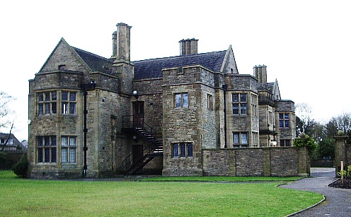
Heathland School
Heathland School is an independent school situated in Accrington, Lancashire in England. The school accepts children from the age of three months in the...

Accrington and Rossendale College
Accrington and Rossendale College is a further education college based in Accrington, Lancashire, England. == The College == Accrington & Rossendale College...

Accrington
Accrington is a town in the Hyndburn borough of Lancashire, England. It lies about 4 miles (6 km) east of Blackburn, 6 miles (10 km) west of Burnley,...
Accrington Town Hall
Accrington Town Hall is a municipal building in Blackburn Road, Accrington, Lancashire, England. The town hall, which was the headquarters of Accrington...

Accrington Library
Accrington Library is a Carnegie library located in the town of Accrington, Lancashire. In 1904 a sum of £7,500 was offered to the town by the industrialist...

Cannon Street Baptist Church, Accrington
Cannon Street Baptist Church, Accrington is a Grade II listed former Baptist church in Accrington, Lancashire. == History == The congregation for which...
Haworth Art Gallery
The Haworth Art Gallery is a public art gallery located in Accrington, Lancashire, northwest England, and is the home of the largest collection in Europe...
Accrington F.C.
Accrington Football Club was an English football club from Accrington, Lancashire, who were one of the founder members of The Football League. == History... ==
Related Videos
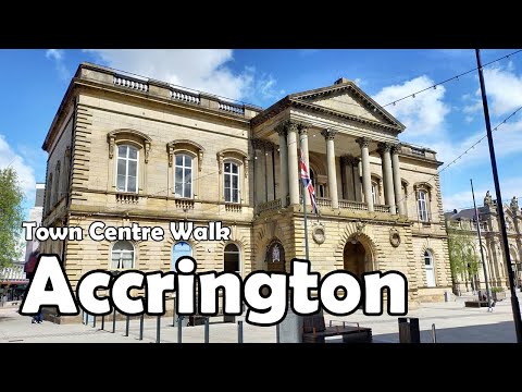
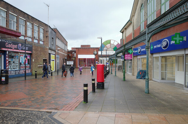
Accrington, Lancashire【4K】| Town Centre Walk 2021
Join me for a walk around the absolutely fascinating town centre of Accrington, one of the foremost industrial hubs of East ...

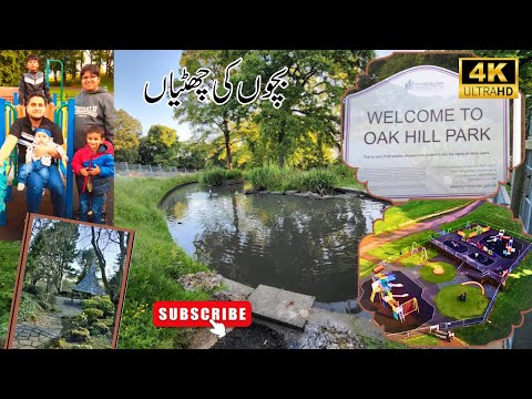
Summer Fun at Oak Hill Park | Accrington England 4K | Bachon ki duniya
summervibes #4k #oakhillpark Experience the ultimate summer fun at Oak Hill Park in Accrington, England, captured in stunning ...

Coppice & Great Hameldon Hill walk
Circular fell walk.
Nearby Amenities
Located within 500m of 53.752809,-2.347264Have you been to Accrington?
Leave your review of Accrington below (or comments, questions and feedback).