Brocklehurst Wood

Wood, Forest in Lancashire Hyndburn

England

Brocklehurst Wood

Footpath from Newhouse Road Entrance for the footpath leading from Newhouse Road on Huncoat Industrial estate.
Footpath from Newhouse Road Credit: Steve Houldsworth

Brocklehurst Wood, located in Lancashire, is a picturesque woodland area known for its natural beauty and diverse ecosystem. Covering an expansive area, the wood is home to a variety of tree species, including oak, birch, and beech, which contribute to its lush and vibrant atmosphere.

The woodland is a popular destination for nature enthusiasts, offering a peaceful retreat away from the hustle and bustle of city life. Visitors can enjoy leisurely walks along the well-maintained trails that wind through the wood, providing an opportunity to immerse oneself in the tranquil surroundings and observe the local flora and fauna.

Brocklehurst Wood is also a haven for wildlife, with numerous species calling it their home. Birdwatchers will delight in the chance to spot notable avian species, such as woodpeckers, owls, and various songbirds. Additionally, small mammals like rabbits, squirrels, and foxes can often be spotted scurrying among the trees.

The wood has been carefully managed to promote biodiversity and conservation efforts, ensuring the preservation of its natural habitat. It is managed by local authorities who work to maintain the delicate balance between human interaction and the preservation of the woodland ecosystem.

Overall, Brocklehurst Wood offers a serene and enchanting experience for nature lovers and outdoor enthusiasts alike. With its diverse range of plant and animal life, as well as its tranquil setting, it is a true gem within Lancashire's natural landscape.

If you have any feedback on the listing, please let us know in the comments section below.

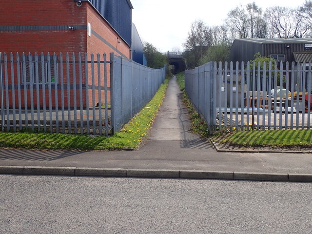
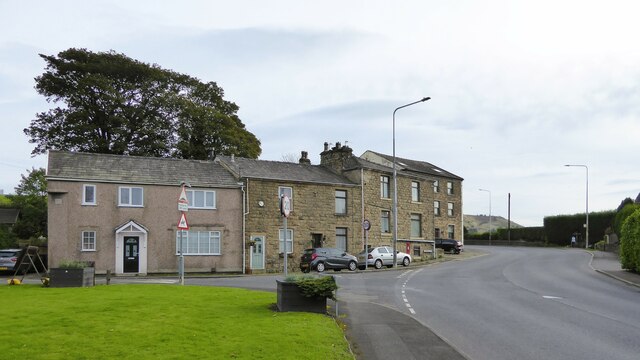
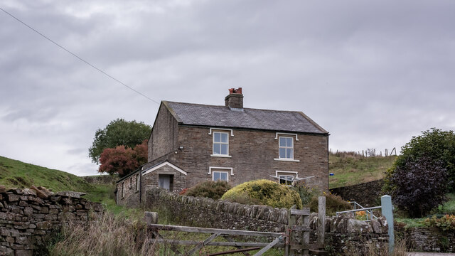
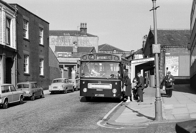
Brocklehurst Wood Images

Images are sourced within 2km of 53.753002/-2.3373059 or Grid Reference SD7728. Thanks to Geograph Open Source API. All images are credited.

Footpath from Newhouse Road Entrance for the footpath leading from Newhouse Road on Huncoat Industrial estate.
Footpath from Newhouse Road
Entrance for the footpath leading from Newhouse Road on Huncoat Industrial estate.
Housing facing the Peace Garden At the junction of Burnley Road with Higher Gate and Lower Gate Road
Housing facing the Peace Garden
At the junction of Burnley Road with Higher Gate and Lower Gate Road
Blue Slate's Cottage and the track onwards to Hambledon
Summit of Great Hambledon looking south
Huncoat Quarry
Huncoat Quarry
Infant Street, Accrington – 1971 Although taken with the bus as the main subject, the view is of interest for the inscription on the tall building in the background. This reads “God says: do not drink wine nor strong drink, thou nor thy sons with thee”. The building is shown on older OS maps as 'Hall' and was presumably a Temperance hall. The quotation, from Leviticus, is clearly aimed at total abstinence from alcohol, although the text actually continues “when ye go into the tabernacle of the congregation”, which clearly indicates a more limited abstinence than total. Also of interest is the inscription on the Accrington Provident Co-operative Society building, since demolished.

The bus is Accrington Corporation 26, a Bristol RE with East Lancs bodywork, new in 1968. Rhyddings Street is in neighbouring Oswaldtwistle.

This is one of a series of views featuring buses in the 60s, 70s, and 80s. <a title="https://www.geograph.org.uk/search.php?i=2114547&displayclass=slide" href="https://www.geograph.org.uk/search.php?i=2114547&displayclass=slide">Link</a>
Infant Street, Accrington – 1971
Although taken with the bus as the main subject, the view is of interest for the inscription on the tall building in the background. This reads “God says: do not drink wine nor strong drink, thou nor thy sons with thee”. The building is shown on older OS maps as 'Hall' and was presumably a Temperance hall. The quotation, from Leviticus, is clearly aimed at total abstinence from alcohol, although the text actually continues “when ye go into the tabernacle of the congregation”, which clearly indicates a more limited abstinence than total. Also of interest is the inscription on the Accrington Provident Co-operative Society building, since demolished. The bus is Accrington Corporation 26, a Bristol RE with East Lancs bodywork, new in 1968. Rhyddings Street is in neighbouring Oswaldtwistle. This is one of a series of views featuring buses in the 60s, 70s, and 80s. Link
Bridge Marker on the B6237 in Accrington Bridge Marker on two brick plaques set in the parapet of Queens Road railway viaduct, on the northeast side of the B6237 Queens Road, Accrington. See also <a title="https://www.geograph.org.uk/photo/1782411" href="https://www.geograph.org.uk/photo/1782411">Link</a>.

Milestone Society National ID: LA_ACCR01br
Bridge Marker on the B6237 in Accrington
Bridge Marker on two brick plaques set in the parapet of Queens Road railway viaduct, on the northeast side of the B6237 Queens Road, Accrington. See also Link. Milestone Society National ID: LA_ACCR01br
St James' Church Founded on the site in 1546
St James' Church
Founded on the site in 1546
Woodnook Centre A former school now an outreach centre for Trinity Community Church. The open area in front of the centre is the site of a Baptist Chapel.
Woodnook Centre
A former school now an outreach centre for Trinity Community Church. The open area in front of the centre is the site of a Baptist Chapel.
Cornhill Arcade, Accrington
Post box, Cornhill Arcade, Accrington This post box can be seen in context in <a href="https://www.geograph.org.uk/photo/7668542">SD7628 : Cornhill Arcade, Accrington</a>.
Post box, Cornhill Arcade, Accrington
This post box can be seen in context in SD7628 : Cornhill Arcade, Accrington.
Market Way seen from Broadway, Accrington
Market Way, Accrington
Market Hall, Accrington
Blackburn Road, Accrington
Peel Street, Accrington
Dutton Street, Accrington A close-up of the post box can be seen in <a href="https://www.geograph.org.uk/photo/7668570">SD7628 : Post box, Dutton Street, Accrington</a>.
Dutton Street, Accrington
A close-up of the post box can be seen in SD7628 : Post box, Dutton Street, Accrington.
Show me another place!

Brocklehurst Wood is located at Grid Ref: SD7728 (Lat: 53.753002, Lng: -2.3373059)

Administrative County: Lancashire

District: Hyndburn

Police Authority: Lancashire

What 3 Words

///unity.play.trim. Near Accrington, Lancashire

Related Wikis

Heathland School

Heathland School is an independent school situated in Accrington, Lancashire in England. The school accepts children from the age of three months in the...

Accrington and Rossendale College

Accrington and Rossendale College is a further education college based in Accrington, Lancashire, England. == The College == Accrington & Rossendale College...
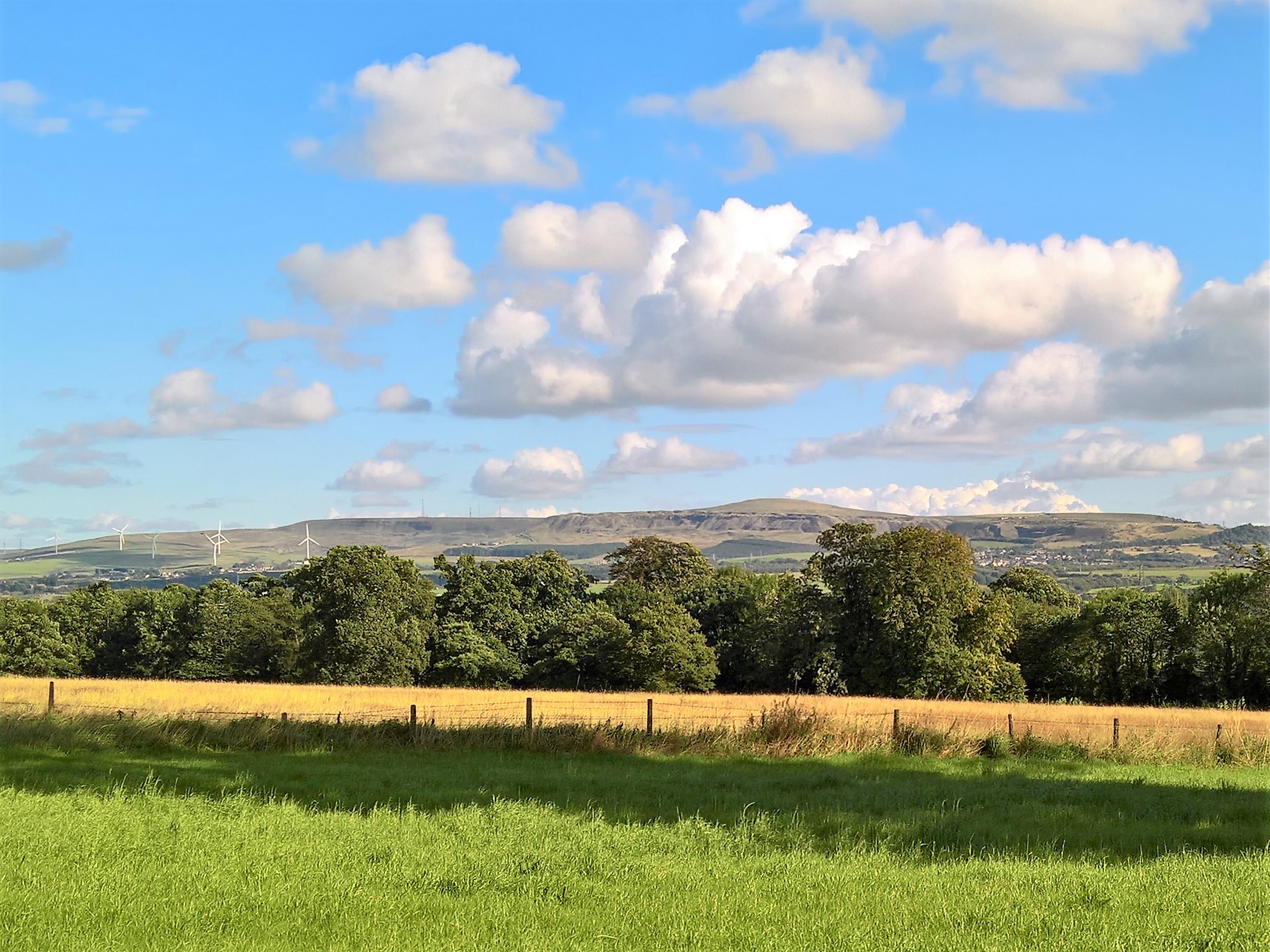
Hameldon Hill

Hameldon Hill is a Carboniferous sandstone hill with a summit elevation of 409 metres (1,342 ft), situated between the towns of Burnley and Accrington...

Accrington

Accrington is a town in the Hyndburn borough of Lancashire, England. It lies about 4 miles (6 km) east of Blackburn, 6 miles (10 km) west of Burnley,...

Haworth Art Gallery

The Haworth Art Gallery is a public art gallery located in Accrington, Lancashire, northwest England, and is the home of the largest collection in Europe...

Accrington Town Hall

Accrington Town Hall is a municipal building in Blackburn Road, Accrington, Lancashire, England. The town hall, which was the headquarters of Accrington...

Accrington F.C.

Accrington Football Club was an English football club from Accrington, Lancashire, who were one of the founder members of The Football League. == History... ==

Huncoat

Huncoat is a village in Lancashire, England; situated in the North West. It is located to the east of Accrington. It is a ward of Hyndburn where the population...

Nearby Amenities

Located within 500m of 53.753002,-2.3373059
Power: tower
Source: OS 1:25k
Lat/Long: 53.7530184/-2.3339455
Power: tower
Source: OS 1:25k
Lat/Long: 53.7555907/-2.3354529
Power: tower
Source: OS 1:25k
Lat/Long: 53.7509409/-2.3327492
Barrier: yes
Lat/Long: 53.7512422/-2.3377116
Crossing
Crossing: unmarked
Lat/Long: 53.754989/-2.3370382
Crossing
Crossing: unmarked
Lat/Long: 53.7550341/-2.3368696
The data included in this document is from www.openstreetmap.org. The data is made available under ODbL.

Have you been to Brocklehurst Wood?

Leave your review of Brocklehurst Wood below (or comments, questions and feedback).