Breach Dingle

Valley in Worcestershire Bromsgrove

England

Breach Dingle

Swallow's Nest Pub, Romsley
Swallow's Nest Pub, Romsley Credit: Geoff Gartside

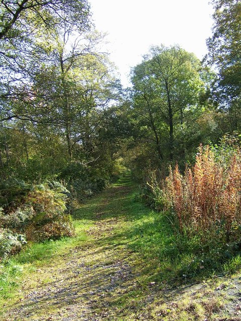
Breach Dingle is a picturesque valley located in the county of Worcestershire, England. It is situated in the southern part of the county, within close proximity to the town of Kidderminster. The valley is known for its natural beauty, offering visitors a tranquil and serene environment.

The Dingle is surrounded by lush green hills and woodlands, creating a stunning backdrop for outdoor enthusiasts and nature lovers. The landscape is characterized by a meandering stream that runs through the valley, adding to its charm. The stream is home to a variety of wildlife, including ducks, fish, and other water-dwelling creatures.

The valley is a popular destination for walking and hiking, with numerous walking trails that allow visitors to explore its beauty. The trails offer breathtaking views of the surrounding countryside and provide opportunities to spot local flora and fauna.

In addition to its natural attractions, Breach Dingle is also home to a quaint tea room and a small gift shop. These establishments offer visitors a chance to relax and enjoy a cup of tea or coffee while taking in the scenic views.

Overall, Breach Dingle, Worcestershire (Valley) is a hidden gem in the heart of the English countryside. Its natural beauty and peaceful atmosphere make it a perfect destination for those seeking a peaceful escape from the hustle and bustle of everyday life.

If you have any feedback on the listing, please let us know in the comments section below.

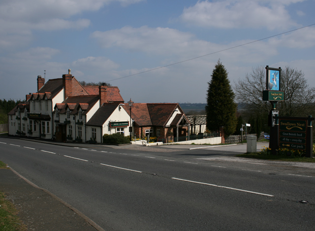
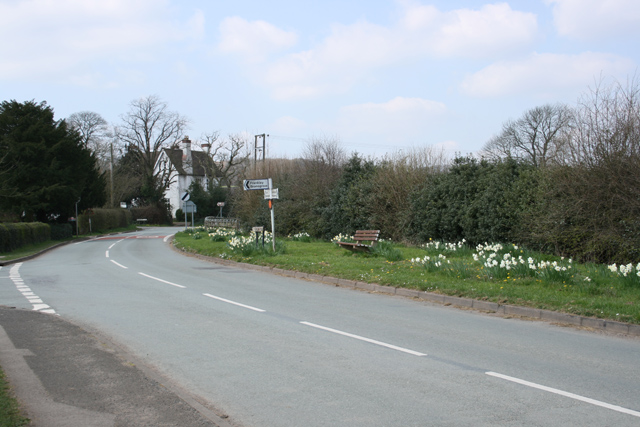
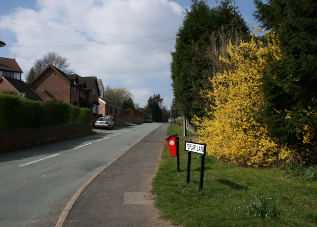
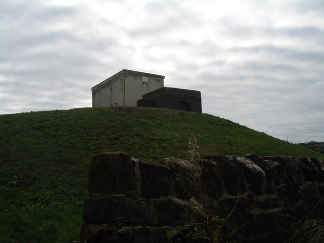
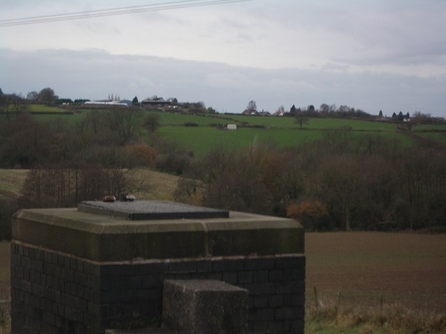
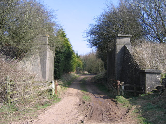
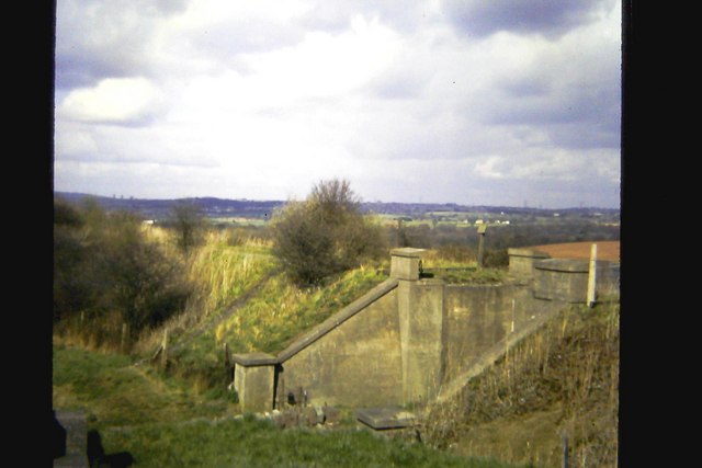
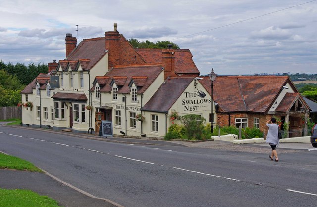
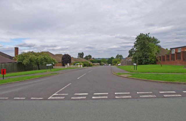
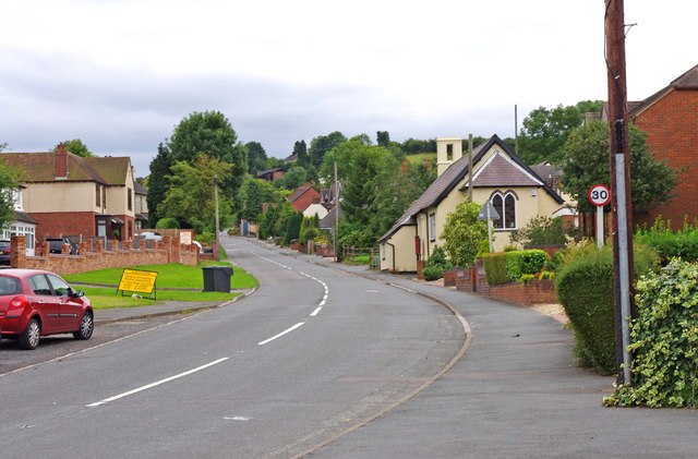
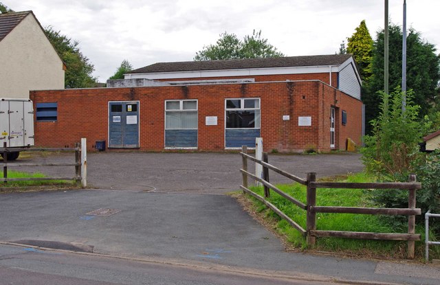
Breach Dingle Images

Images are sourced within 2km of 52.427256/-2.0604586 or Grid Reference SO9581. Thanks to Geograph Open Source API. All images are credited.

Swallow's Nest Pub, Romsley
St Kenelm's Road Romsley Junction with Dark Lane
St Kenelm's Road Romsley
Junction with Dark Lane
Poplar Lane, Romsley
Elan pipeline syphon access Adjacent to the dismantled Halesowen Railway and the Illey Way, this is the top of the Frankley side of the valley between Frankley and Romsley hills.
Elan pipeline syphon access
Adjacent to the dismantled Halesowen Railway and the Illey Way, this is the top of the Frankley side of the valley between Frankley and Romsley hills.
Elan pipeline syphon access In the foreground, the Elan pipeline access point on the east side of the valley between Frankley and Romsley hills.  Looking towards Horsepool Farm in <a href="https://www.geograph.org.uk/gridref/SO9680">SO9680</a>; a further syphon access point is visible next to the white box on the hillside opposite.
Elan pipeline syphon access
In the foreground, the Elan pipeline access point on the east side of the valley between Frankley and Romsley hills. Looking towards Horsepool Farm in SO9680; a further syphon access point is visible next to the white box on the hillside opposite.
Romseley - Dark Lane Junction with B4551 Bromsgrove Road
Dismantled Railway Bridge, Rubery to Halesowen Railway
Remains of railway bridge, near Elan Aqueduct Viewed from site of Halesowen Railway bridge, close to route of Elan Aqueduct.  Under former bridge, off to right is cul-de-sac on Oxwood Lane.  Half a mile north of here is the site of Dowery Dell viaduct.

More recent photo <a href="https://www.geograph.org.uk/photo/1213252">SO9779 : Dismantled Railway Bridge, Rubery to Halesowen Railway</a>
Remains of railway bridge, near Elan Aqueduct
Viewed from site of Halesowen Railway bridge, close to route of Elan Aqueduct. Under former bridge, off to right is cul-de-sac on Oxwood Lane. Half a mile north of here is the site of Dowery Dell viaduct. More recent photo SO9779 : Dismantled Railway Bridge, Rubery to Halesowen Railway
The Swallows Nest (formerly The Fighting Cocks), 40 Bromsgrove Road There used to be a lot of pubs in Romsley, but most closed long ago. The Fighting Cocks was one of the few survivors, and some years ago was renamed The Swallows Nest. The building was originally a row of labourers' cottages, belonging to a long gone farm opposite. The cottages were knocked into one, to make the pub, and this was licensed in 1825. It seems however that there was a Fighting Cocks inn or pub in Romsley from at least the 16th century, but that presumably was on a different site. The present pub's cellar is said to be haunted by a former landlady.

<a href="https://www.geograph.org.uk/photo/2026705">SO9679 : The Swallows Nest (pub sign), 40 Bromsgrove Road</a>.
The Swallows Nest (formerly The Fighting Cocks), 40 Bromsgrove Road
There used to be a lot of pubs in Romsley, but most closed long ago. The Fighting Cocks was one of the few survivors, and some years ago was renamed The Swallows Nest. The building was originally a row of labourers' cottages, belonging to a long gone farm opposite. The cottages were knocked into one, to make the pub, and this was licensed in 1825. It seems however that there was a Fighting Cocks inn or pub in Romsley from at least the 16th century, but that presumably was on a different site. The present pub's cellar is said to be haunted by a former landlady. SO9679 : The Swallows Nest (pub sign), 40 Bromsgrove Road.
The Swallows Nest (pub sign), 40 Bromsgrove Road The Swallows Nest is one of the pubs run by Vintage Inns. The previous sign has been replaced by this rather insipid design.

<a href="https://www.geograph.org.uk/photo/2026693">SO9679 : The Swallows Nest (formerly The Fighting Cocks), 40 Bromsgrove Road</a>.
The Swallows Nest (pub sign), 40 Bromsgrove Road
The Swallows Nest is one of the pubs run by Vintage Inns. The previous sign has been replaced by this rather insipid design. SO9679 : The Swallows Nest (formerly The Fighting Cocks), 40 Bromsgrove Road.
Romsley Methodist Church, Bromsgrove Road The church building dates from 1930. The red and white decor seems recent. On the Blackheath & Halesowen Circuit website, the photograph shows the building with dark blue and white paintwork.

<a href="https://www.geograph.org.uk/photo/2027999">SO9679 : Romsley Methodist Church - detail, Bromsgrove Road</a>.
Romsley Methodist Church, Bromsgrove Road
The church building dates from 1930. The red and white decor seems recent. On the Blackheath & Halesowen Circuit website, the photograph shows the building with dark blue and white paintwork. SO9679 : Romsley Methodist Church - detail, Bromsgrove Road.
Romsley Methodist Church - detail, Bromsgrove Road Above the door is a representation of a dove and the word "Peace". Above that is a stone, inscribed with the words "Methodist Church 1930".

<a href="https://www.geograph.org.uk/photo/2027991">SO9679 : Romsley Methodist Church, Bromsgrove Road</a>.
Romsley Methodist Church - detail, Bromsgrove Road
Above the door is a representation of a dove and the word "Peace". Above that is a stone, inscribed with the words "Methodist Church 1930". SO9679 : Romsley Methodist Church, Bromsgrove Road.
St. Kenelm's Church Hall, Bromsgrove Road The church itself is not in the village, but one and a quarter miles away, in rural countryside. It seems there used to be a settlement around it long ago, called Kenelmstowe, but that has disappeared, apart from a farmhouse. In the modern village of Romsley, the church has this hall, which is used for various functions both by the church, and other organisations. What is particularly interesting about the building, is that it started life as a National School in the middle of the 19th century. In 1925/26 it was remodelled as a mission room, but later became the church hall.
St. Kenelm's Church Hall, Bromsgrove Road
The church itself is not in the village, but one and a quarter miles away, in rural countryside. It seems there used to be a settlement around it long ago, called Kenelmstowe, but that has disappeared, apart from a farmhouse. In the modern village of Romsley, the church has this hall, which is used for various functions both by the church, and other organisations. What is particularly interesting about the building, is that it started life as a National School in the middle of the 19th century. In 1925/26 it was remodelled as a mission room, but later became the church hall.
St. Kenelm's Church of England Primary School, Bromsgrove Road A Church of England primary school, taking pupils in the age range 5 to 11 years old.
St. Kenelm's Church of England Primary School, Bromsgrove Road
A Church of England primary school, taking pupils in the age range 5 to 11 years old.
Junction of St. Kenelm's Road with Dark Lane Dark Lane is coming in on the left. Most of the built-up area of the village of Romsley is contained within a triangle, formed by these two roads and Bromsgrover Road (the B4551).
Junction of St. Kenelm's Road with Dark Lane
Dark Lane is coming in on the left. Most of the built-up area of the village of Romsley is contained within a triangle, formed by these two roads and Bromsgrover Road (the B4551).
Hillside Road One of the village's main residential roads, here seen from its junction with Dark Lane. There is some very nice housing in the village, and being so near to Birmingham, it is likely that most residents of working age commute to work in the Birmingham area.
Hillside Road
One of the village's main residential roads, here seen from its junction with Dark Lane. There is some very nice housing in the village, and being so near to Birmingham, it is likely that most residents of working age commute to work in the Birmingham area.
Bromsgrove Road (the B4551) The main road through the village, and which forms one of the three sides of the triangle, within which most of the village is contained. The other two are St. Kenelm's Road and Dark Lane. The cream coloured building on the right is St. Kenelm's Church Hall. The building started life as a national school, although it has been altered since then. The yellow sign on the left of the road, is to warn motorists of school crossing patrols in the area.

<a href="https://www.geograph.org.uk/photo/2028017">SO9679 : St. Kenelm's Church Hall, Bromsgrove Road</a>.
Bromsgrove Road (the B4551)
The main road through the village, and which forms one of the three sides of the triangle, within which most of the village is contained. The other two are St. Kenelm's Road and Dark Lane. The cream coloured building on the right is St. Kenelm's Church Hall. The building started life as a national school, although it has been altered since then. The yellow sign on the left of the road, is to warn motorists of school crossing patrols in the area. SO9679 : St. Kenelm's Church Hall, Bromsgrove Road.
BT Premises, Bromsgrove Road These premises belong to BT, the telecoms company. The back end of one of their vans can be seen on the left. On the right of the property is St. Kenelm's Church Hall.
BT Premises, Bromsgrove Road
These premises belong to BT, the telecoms company. The back end of one of their vans can be seen on the left. On the right of the property is St. Kenelm's Church Hall.
Show me another place!

Breach Dingle is located at Grid Ref: SO9581 (Lat: 52.427256, Lng: -2.0604586)

Administrative County: Worcestershire

District: Bromsgrove

Police Authority: West Mercia

What 3 Words

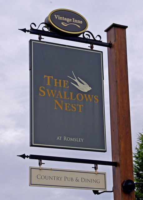
///social.losses.beats. Near Romsley, Worcestershire

Nearby Locations

Uffmoor Wood Breach Dingle

Related Wikis

Hunnington

Hunnington is a village and civil parish in the Bromsgrove District of Worcestershire, England, close to the border with West Midlands, and just south...

Uffmoor Wood

Uffmoor Wood is a semi-natural woodland in Worcestershire, in the English Midlands. It is one of over a thousand woods cared for by the Woodland Trust...

Hunnington railway station

Hunnington railway station was a railway station in the village of Hunnington, near Halesowen, England, on the Great Western Railway & Midland Railway...

Romsley, Worcestershire

Romsley is a village and civil parish in the Bromsgrove District of Worcestershire, England, on the east side of the Clent Hills about 4 miles south of...
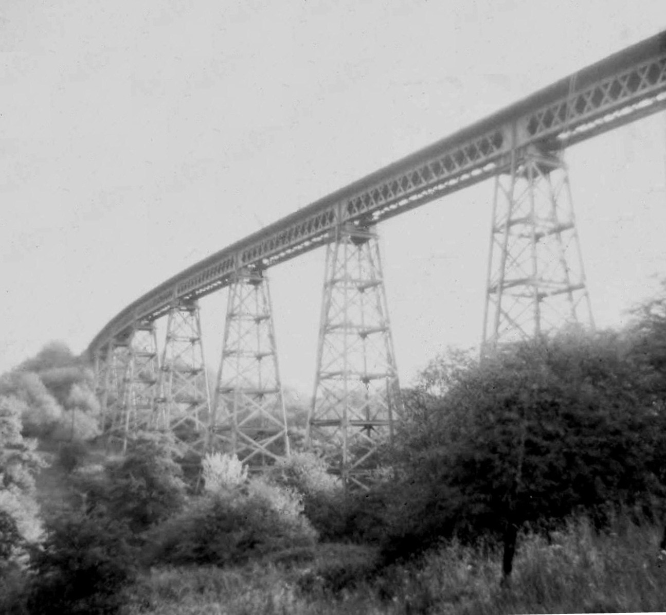
Dowery Dell Viaduct

Dowery Dell, between Rubery and Halesowen in Worcestershire, was a 234 yards (214 m), nine span lattice steel, single-track railway viaduct that carried...

Hasbury

Hasbury is a suburb of Halesowen in the Metropolitan Borough of Dudley in West Midlands, England. Its main focal point is the small shopping centre at...

Illey Pastures

Illey Pastures is a 3.5-hectare (8.6-acre) biological site of Special Scientific Interest in the West Midlands. The site was notified in 1989 under the...

Hayley Green, West Midlands

Hayley Green is a suburb of Halesowen in the Metropolitan Borough of Dudley, West Midlands, England, located to the south-west of Halesowen town centre...

Nearby Amenities

Located within 500m of 52.427256,-2.0604586
Turning Circle
Lat/Long: 52.4277845/-2.0535394
Source: OS 1:25k
Lat/Long: 52.4256871/-2.0603089
Barrier: kissing_gate
Lat/Long: 52.4240872/-2.057047
Barrier: stile
Lat/Long: 52.4232464/-2.0634525
Barrier: kissing_gate
Lat/Long: 52.4277182/-2.0637847
The data included in this document is from www.openstreetmap.org. The data is made available under ODbL.

Have you been to Breach Dingle?

Leave your review of Breach Dingle below (or comments, questions and feedback).