Berristall Dale

Valley in Cheshire

England

Berristall Dale

Scarecrow in garden area, Cockshead Hey Farm Harrop Valley visible in background
Scarecrow in garden area, Cockshead Hey Farm Credit: Philip Cornwall

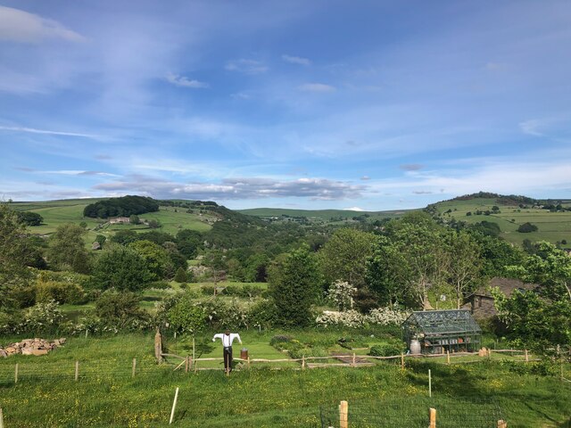
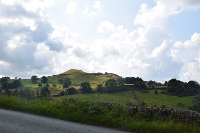
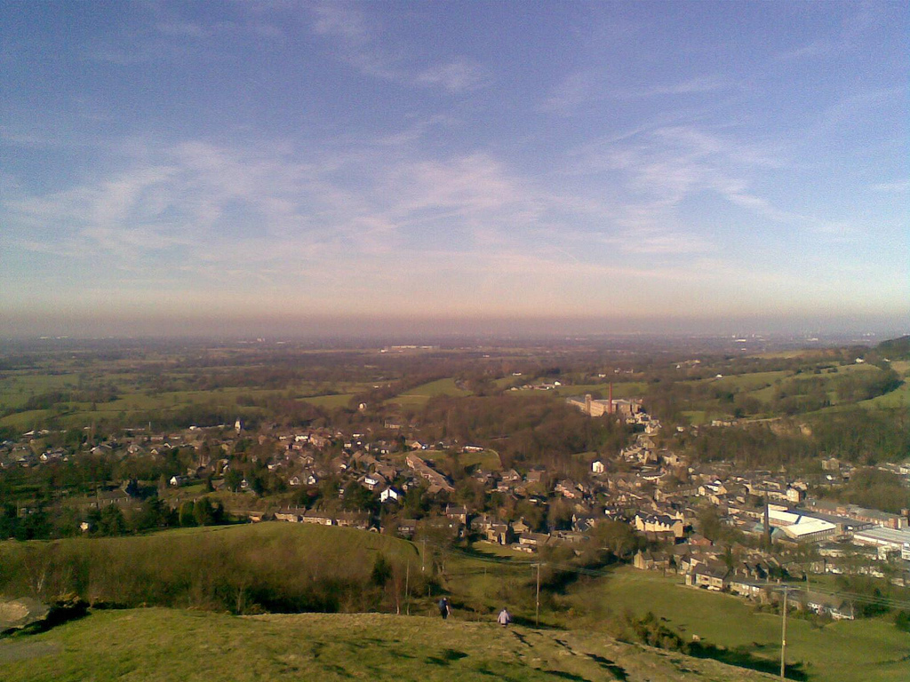
Berristall Dale is a picturesque valley located in the county of Cheshire, England. Situated in the heart of the Peak District National Park, it is known for its stunning natural beauty and tranquil surroundings. The valley is nestled between rolling hills and is characterized by its lush greenery, meandering streams, and rocky outcrops.

Covering an area of approximately 2 square kilometers, Berristall Dale is a haven for outdoor enthusiasts and nature lovers. The valley offers a variety of activities, including hiking, birdwatching, and photography. Its well-maintained walking trails provide visitors with the opportunity to explore the diverse flora and fauna that call the dale home.

One of the notable features of Berristall Dale is its rich history. The valley is dotted with remnants of early industrialization, such as old mine workings and quarry sites, which offer a glimpse into its past. The area was once a hub for limestone mining and quarrying, contributing to the region's economic growth during the 19th and early 20th centuries.

Today, Berristall Dale is a designated Site of Special Scientific Interest (SSSI) due to its unique geological formations and the presence of rare plant species. The valley's protected status ensures the preservation of its natural heritage for future generations to enjoy.

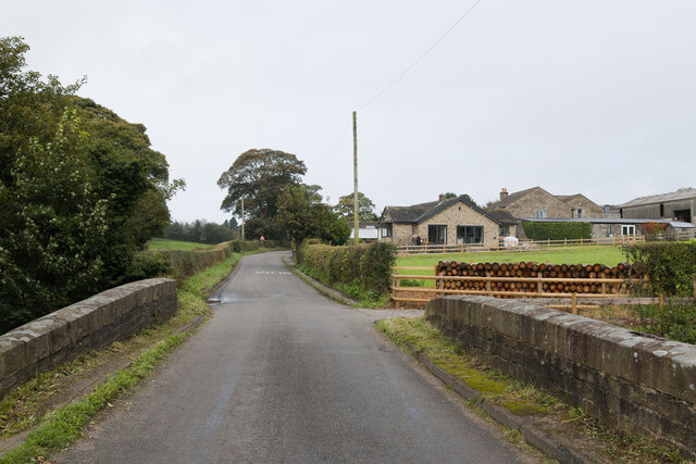
Access to Berristall Dale is facilitated by a network of roads and footpaths, making it easily accessible for day trips or longer stays. The valley's proximity to nearby towns and villages provides visitors with a range of accommodation options, including hotels, bed and breakfasts, and campsites.

In conclusion, Berristall Dale is a stunning valley in Cheshire, offering visitors a chance to immerse themselves in nature, explore its rich history, and enjoy a peaceful getaway in an idyllic setting.

If you have any feedback on the listing, please let us know in the comments section below.

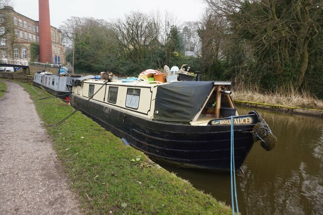
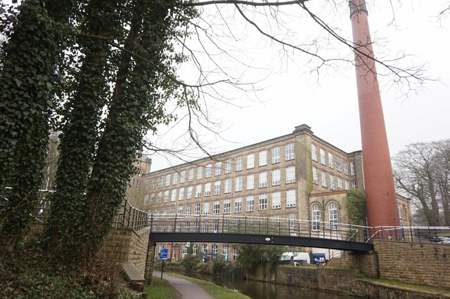
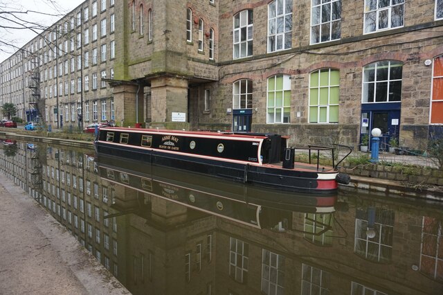
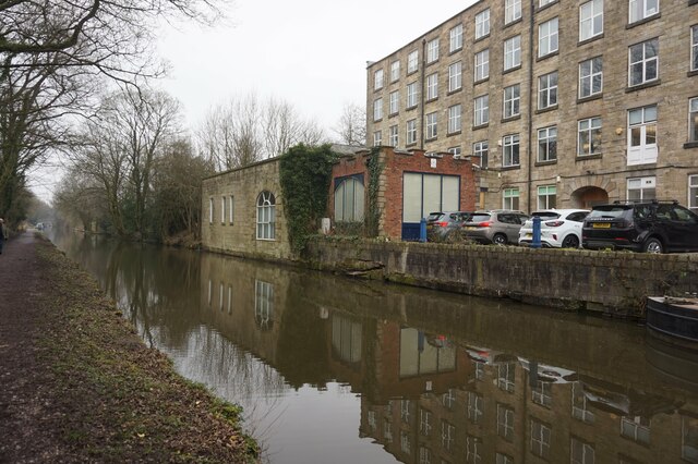
Berristall Dale Images

Images are sourced within 2km of 53.303055/-2.0765493 or Grid Reference SJ9478. Thanks to Geograph Open Source API. All images are credited.

Scarecrow in garden area, Cockshead Hey Farm Harrop Valley visible in background
Scarecrow in garden area, Cockshead Hey Farm
Harrop Valley visible in background
View across Macclesfield Canal at Bollington Aqueduct One of the last narrow canals to be built the canal was approved by Act of Parliament in April 1826. Thomas Telford surveyed the canal and construction was engineered by William Crosley. The completed canal was opened on 9th November 1831 at a cost of £320,000.00. The canal was bought out by the Manchester, Sheffield & Lincoln Railway in 1847. With nationalisation in 1947 it passed to the Docks & Inland Waterways Board with commercial carrying finishing only in the 1960's shortly before British Waterways was formed. The canal runs from Marple Junction with the Peak Forest Canal in the north 26¼ miles to the stop lock at Hall Green near Kidsgrove. The canal is noted for its six fine change or snake bridges where the tow-path changes sides of the canal. These bridges were designed to allow the horse to move over without having to untie it from the boat. Thanks to Telford's design for commercial traffic the Macclesfield Canal has a very shallow and tapered bottom. The deep channel is just wide enough for two boats to pass in the centre making mooring other than at wharves 'challenging'.
View across Macclesfield Canal at Bollington Aqueduct
One of the last narrow canals to be built the canal was approved by Act of Parliament in April 1826. Thomas Telford surveyed the canal and construction was engineered by William Crosley. The completed canal was opened on 9th November 1831 at a cost of £320,000.00. The canal was bought out by the Manchester, Sheffield & Lincoln Railway in 1847. With nationalisation in 1947 it passed to the Docks & Inland Waterways Board with commercial carrying finishing only in the 1960's shortly before British Waterways was formed. The canal runs from Marple Junction with the Peak Forest Canal in the north 26¼ miles to the stop lock at Hall Green near Kidsgrove. The canal is noted for its six fine change or snake bridges where the tow-path changes sides of the canal. These bridges were designed to allow the horse to move over without having to untie it from the boat. Thanks to Telford's design for commercial traffic the Macclesfield Canal has a very shallow and tapered bottom. The deep channel is just wide enough for two boats to pass in the centre making mooring other than at wharves 'challenging'.
Ingersley Clough Mill The building in the picture housed the wheel, powered by water delivered from the hill opposite via a cast iron aqueduct (also visible). The mill site is currently being developed for housing. The history of this building can be read at the following link <span class="nowrap"><a title="https://happyvalley.org.uk/?page_id=3958" rel="nofollow ugc noopener" href="https://happyvalley.org.uk/?page_id=3958">Link</a><img style="margin-left:2px;" alt="External link" title="External link - shift click to open in new window" src="https://s1.geograph.org.uk/img/external.png" width="10" height="10"/></span>
Ingersley Clough Mill
The building in the picture housed the wheel, powered by water delivered from the hill opposite via a cast iron aqueduct (also visible). The mill site is currently being developed for housing. The history of this building can be read at the following link LinkExternal link
Billinge Hill Taken from Blaze Hill (the road).
Billinge Hill
Taken from Blaze Hill (the road).
View over Bollington, 1984 Looking east from the Macclesfield Canal at the Palmerston Street aqueduct.
View over Bollington, 1984
Looking east from the Macclesfield Canal at the Palmerston Street aqueduct.
Bridge near Sugarlane Farm
Narrowboat passing Clarence Mill
Macclesfield Canal towards bridge #27
Macclesfield Canal at bridge #27
Canalside houses at bridge  #27, Macclesfield Canal
Canalside houses at bridge #27, Macclesfield Canal
Wellington Road, Bollington from Macclesfield Canal
Macclesfield Canal towards bridge #26A
Canal boat Swallowtail, Macclesfield Canal
Canal boat Rose Alice, Macclesfield Canal
Macclesfield Canal at bridge #26A With Clarence Mill in the background.
Macclesfield Canal at bridge #26A
With Clarence Mill in the background.
Macclesfield Canal at bridge #26A
Canal boat Annie May, Macclesfield Canal
Macclesfield Canal towards bridge #26
Show me another place!

Berristall Dale is located at Grid Ref: SJ9478 (Lat: 53.303055, Lng: -2.0765493)

Unitary Authority: Cheshire East

Police Authority: Cheshire

What 3 Words

///pushing.concerts.baseballs. Near Pott Shrigley, Cheshire

Related Wikis

Pott Shrigley

Pott Shrigley is a small village and civil parish in the unitary authority of Cheshire East and the ceremonial county of Cheshire, England. According...

Leonard Haigh

Leonard Haigh (19 October 1880 – 6 August 1916) was an English rugby player. He won seven caps for England between 1910 and 1911, and also represented...

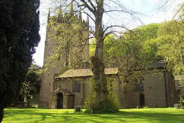
St Christopher's Church, Pott Shrigley

St Christopher's Church is in the small village of Pott Shrigley, Cheshire, England. The church is recorded in the National Heritage List for England...

Ingersley Hall

Ingersley Hall, later Savio House, stands to the east of the town of Bollington, Cheshire, England. The house was built in about 1775 for John Gaskell...

Bollington Urban District

Bollington is a former Urban District in Cheshire, based in the town of Bollington. It was created in 1894 and abolished in 1974 when it was incorporated...

Bollington

Bollington is a town and civil parish in Cheshire, England, to the east of Prestbury. In the Middle Ages, it was part of the Earl of Chester's manor of...

St John the Baptist's Church, Bollington

St John the Baptist's Church is a redundant Anglican parish church in Church Street, Bollington, Cheshire, England. It is recorded in the National Heritage...

Limefield

Limefield is a house standing to the north of Bollington, Cheshire, England. It was built in about 1830 for Joseph Brook. It is constructed in ashlar...

Nearby Amenities

Located within 500m of 53.303055,-2.0765493
The data included in this document is from www.openstreetmap.org. The data is made available under ODbL.

Have you been to Berristall Dale?

Leave your review of Berristall Dale below (or comments, questions and feedback).