Scar Clough

Valley in Yorkshire

England

Scar Clough

Lobb Mill The Rochdale Canal locks to the right of view from Halifax Road
Lobb Mill Credit: Raymond Knapman

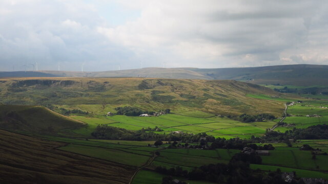
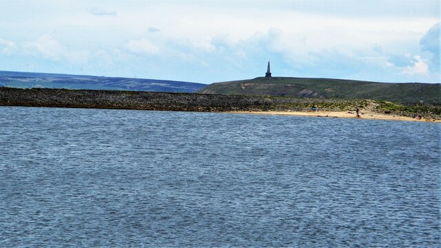
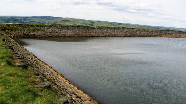
Scar Clough is a picturesque valley located in the county of Yorkshire, England. Situated within the stunning Peak District National Park, this valley offers breathtaking natural beauty and a peaceful escape from the hustle and bustle of everyday life.

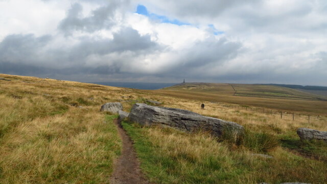
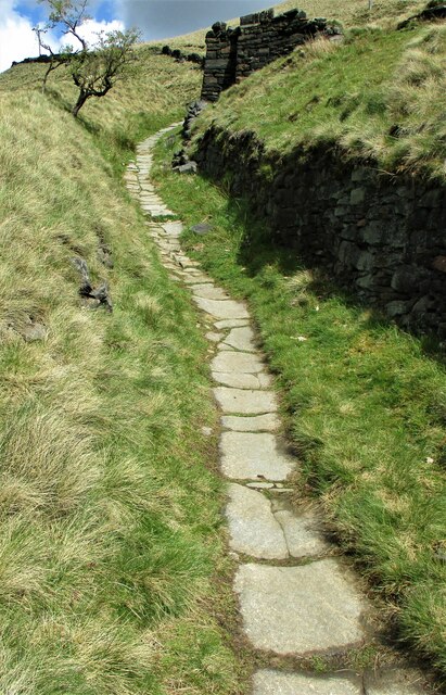
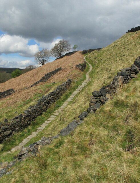
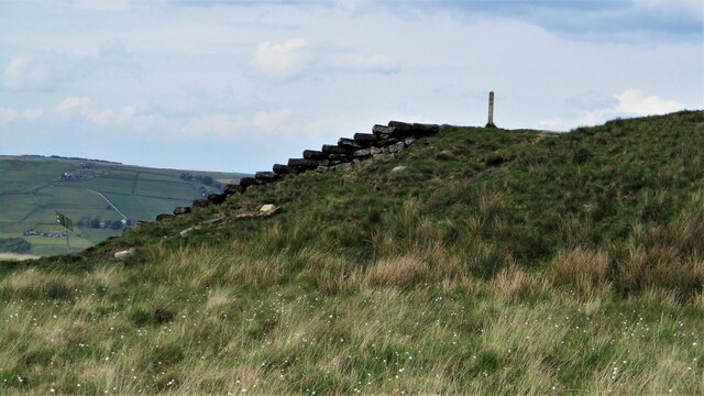
The valley is characterized by its rugged terrain, steep slopes, and rocky outcrops, which add to its dramatic appeal. A small stream runs through the valley, creating a serene atmosphere and providing a habitat for a variety of wildlife and plant species.

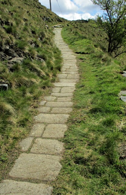
Scar Clough is a popular destination for outdoor enthusiasts, offering numerous walking and hiking trails that cater to all levels of experience. The trails meander through ancient woodlands, across open moorland, and alongside babbling brooks, providing visitors with stunning vistas at every turn.

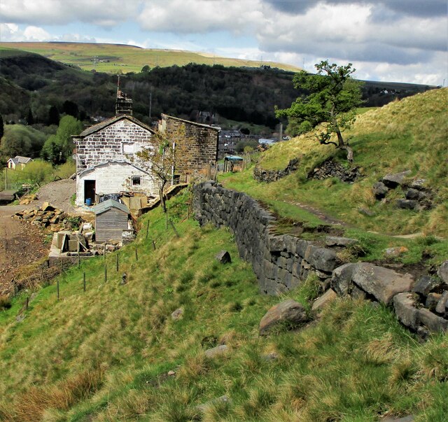
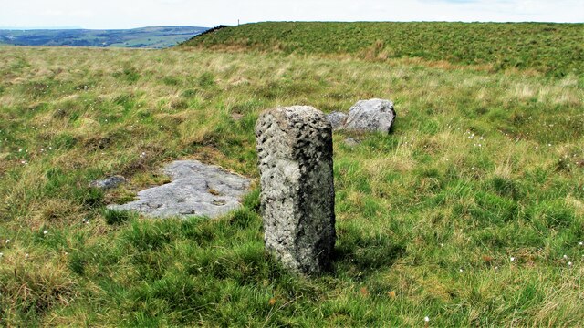
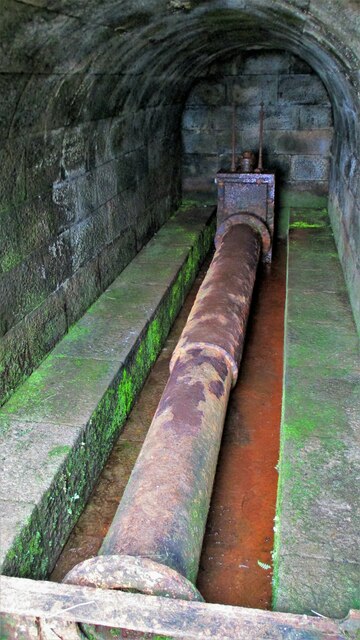
The valley is also rich in history, with evidence of human activity dating back thousands of years. Archaeological sites, such as prehistoric burial mounds and stone circles, can be found within the valley, offering a glimpse into the area's past.

In addition to its natural beauty and historical significance, Scar Clough is also home to a diverse range of flora and fauna. Rare plant species, including heather and bilberry, thrive in the valley, while birds such as peregrine falcons and buzzards can often be spotted soaring overhead.

Whether you are seeking a tranquil retreat or an adventurous hike, Scar Clough offers an idyllic setting that is sure to captivate nature lovers and history enthusiasts alike.

If you have any feedback on the listing, please let us know in the comments section below.

Scar Clough Images

Images are sourced within 2km of 53.702297/-2.0835151 or Grid Reference SD9422. Thanks to Geograph Open Source API. All images are credited.

Lobb Mill The Rochdale Canal locks to the right of view from Halifax Road
Lobb Mill
The Rochdale Canal locks to the right of view from Halifax Road
Rochdale Canal at Gauxholme View from Rochdale to Leeds railway
Rochdale Canal at Gauxholme
View from Rochdale to Leeds railway
Burnley Road, Todmorden View from Rochdale to Leeds railway
Burnley Road, Todmorden
View from Rochdale to Leeds railway
Pennine Way descending from Bald Scout Hill
Sunlight on Todmorden from ridge south of Stoodley Pike Monument
Lumbutts from Stoodley Pike Monument
Causey Stones on Packhorse Track The climb up after Dean Royd Farm towards Bottomley
Causey Stones on Packhorse Track
The climb up after Dean Royd Farm towards Bottomley
Packhorse Track behind Dean Royd Farm The track at this point has a substantial embankment
Packhorse Track behind Dean Royd Farm
The track at this point has a substantial embankment
Causey Stones on Packhorse Track The climb up after Dean Royd Farm to Hollingworth Gate
Causey Stones on Packhorse Track
The climb up after Dean Royd Farm to Hollingworth Gate
Causey Stones on Packhorse Track Final climb of track before flatter section to Hollingworth Gate
Causey Stones on Packhorse Track
Final climb of track before flatter section to Hollingworth Gate
Lower Knowl A work in progress
Lower Knowl
A work in progress
Swineshead Farm View from Lower Knowl
Swineshead Farm
View from Lower Knowl
Lower Knowl A farmhouse hopefully work in progress
Lower Knowl
A farmhouse hopefully work in progress
Steps at Gaddings Dam Steps at western corner of dam showing daylight through them
Steps at Gaddings Dam
Steps at western corner of dam showing daylight through them
Langfield Common Boundary Stone Stone with L on face away from camera, nothing discernible on other. Gaddings Dam steps in background
Langfield Common Boundary Stone
Stone with L on face away from camera, nothing discernible on other. Gaddings Dam steps in background
Costa del Todmordo The beach in Gaddings Dam, a very popular spot for Todmorden folk. Stoodley Pike Monument in the background
Costa del Todmordo
The beach in Gaddings Dam, a very popular spot for Todmorden folk. Stoodley Pike Monument in the background
Gaddings Dam The stone inner face of the dam. Gaddings is maintained by a local Group with Friends support.
Gaddings Dam
The stone inner face of the dam. Gaddings is maintained by a local Group with Friends support.
Gaddings Dam Outlet Pipe The culvert in the North West dam wall
Gaddings Dam Outlet Pipe
The culvert in the North West dam wall
Show me another place!

Scar Clough is located at Grid Ref: SD9422 (Lat: 53.702297, Lng: -2.0835151)

Division: West Riding

Unitary Authority: Calderdale

Police Authority: West Yorkshire

What 3 Words

///boxing.rift.canoe. Near Walsden, West Yorkshire

Nearby Locations

Scar Clough

Related Wikis

Mankinholes

Mankinholes is a hamlet in the Metropolitan Borough of Calderdale, in West Yorkshire, England. It is situated in the Pennines and the nearest town is Todmorden...

Walsden

Walsden (; WOLZ-dən) is a large village in the civil parish of Todmorden in the Metropolitan Borough of Calderdale, West Yorkshire, England. It was historically...

Todmorden Unitarian Church

Todmorden Unitarian Church is a Unitarian church located in Honey Hole Road, Todmorden, West Yorkshire, England (grid reference SD935239). Built in honour...

Todmorden

Todmorden ( TOD-mər-dən; locally ) is a market town and civil parish in the Upper Calder Valley in Calderdale, West Yorkshire, England. It is 17 miles...

Walsden railway station

Walsden railway station (; WOLZ-dən) serves the village of Walsden, Todmorden in West Yorkshire, England, on the edge of the Pennines. It is served by...

Todmorden Markets

Todmorden Markets consist of an indoor market held in the Public Market Hall and an outdoor open air market held to the front of the Public Market Hall...

Todmorden Town Hall

Todmorden Town Hall is a municipal building in Halifax Road, Todmorden, West Yorkshire, England. The town hall, which is the meeting place of Todmorden...

Todmorden railway station

Todmorden railway station serves the town of Todmorden in West Yorkshire, England, originally on the Yorkshire and Lancashire border. It was built by the...

Nearby Amenities

Located within 500m of 53.702297,-2.0835151
Bus Stop
Lumbutts Road Lumbutts
Bus: yes
Local Ref: 45018964
Naptan AtcoCode: 450018964
Naptan Bearing: E
Naptan CommonName: Lumbutts Road Lumbutts
Naptan Crossing: Adj Rough Side Lane
Naptan Indicator: Stop 45018964
Naptan Landmark: Shepherds Rest PH
Naptan PlusbusZoneRef: LEEDS
Naptan ShortCommonName: Heyhead Farm
Naptan Street: Lumbutts Road
Naptan Verified: no
Public Transport: platform
Shelter: no
Source: naptan_import
Lat/Long: 53.7049398/-2.0838783
Lumbutts Road Shepherds Rest Pub
Local Ref: 45050710
Naptan AtcoCode: 450050710
Naptan Bearing: W
Naptan BusStopType: CUS
Naptan CommonName: Lumbutts Road Shepherds Rest Pub
Naptan Indicator: Stop 45050710
Naptan PlusbusZoneRef: LEEDS
Naptan ShortCommonName: Heyhead Farm
Naptan Street: Lumbutts Road
Naptan Verified: no
Source: naptan_import
Lat/Long: 53.7048589/-2.0838782
Pub
The Shepherd's Rest
Lat/Long: 53.7050237/-2.0846423
Leisure: playground
Lat/Long: 53.7051825/-2.0843687
Parking
Parking: surface
Lat/Long: 53.705052/-2.0841356
Waste Basket
Lat/Long: 53.7047763/-2.08469
Information: map
Tourism: information
Lat/Long: 53.7047748/-2.0846413
The data included in this document is from www.openstreetmap.org. The data is made available under ODbL.

Have you been to Scar Clough?

Leave your review of Scar Clough below (or comments, questions and feedback).