Broad Head Clough
Valley in Lancashire Pendle
England
Broad Head Clough

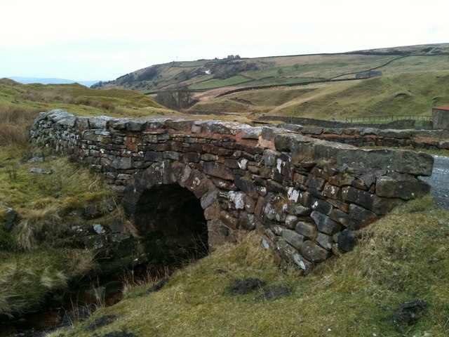
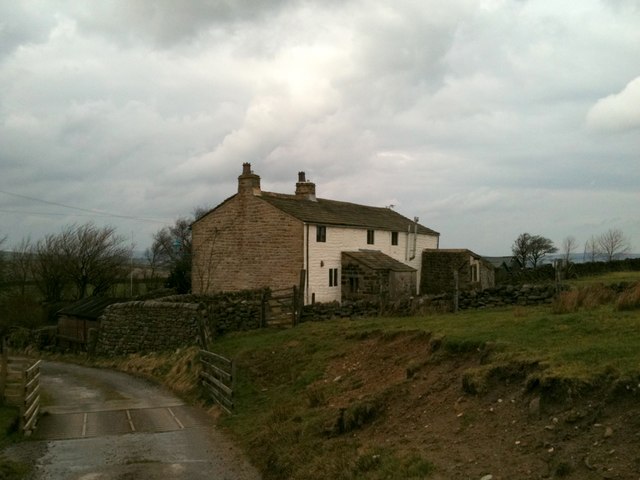
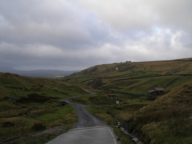
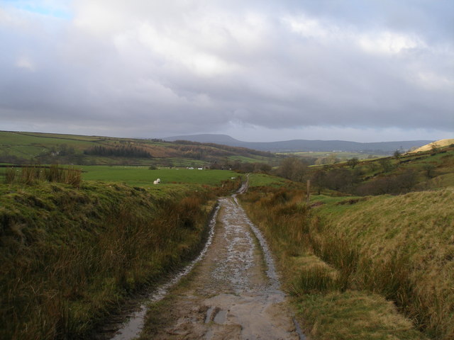
Broad Head Clough is a picturesque valley located in the county of Lancashire, England. Nestled within the Pennine Hills, this stunning natural wonder offers visitors a tranquil escape from the bustling city life. The clough is situated approximately 10 miles northeast of the town of Rochdale and covers an area of around 2 square kilometers.
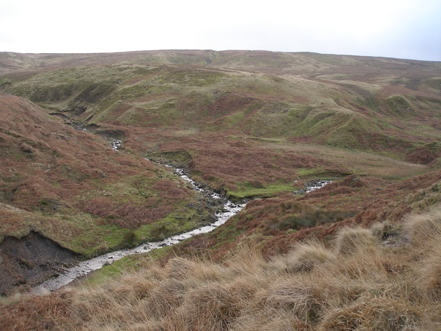
The valley is characterized by its lush greenery, dense woodland, and a meandering stream that flows through the heart of the clough. The stream, known as Broad Head Water, is fed by several smaller tributaries, creating a network of cascading waterfalls and serene pools along its course.
The landscape of Broad Head Clough is a haven for wildlife enthusiasts, as it supports a rich diversity of flora and fauna. The woodlands are home to a variety of tree species, including oak, birch, and beech, providing a habitat for numerous bird species, such as woodpeckers, owls, and thrushes. In addition, the valley is inhabited by mammals like foxes, badgers, and deer.
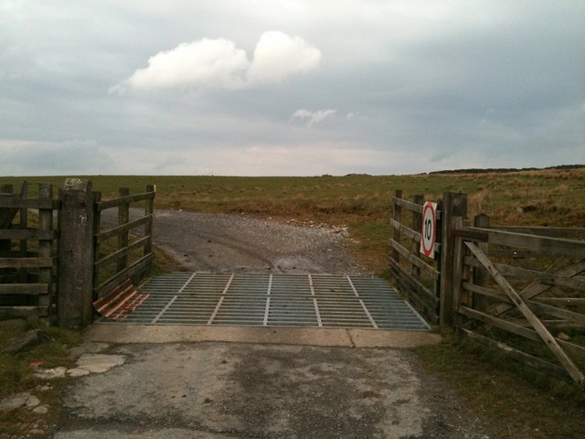
For outdoor enthusiasts, Broad Head Clough offers a range of recreational activities. The well-maintained walking trails that crisscross the clough provide ample opportunities for hikers to explore the area's natural beauty and enjoy breathtaking views from elevated vantage points. The valley is also a popular spot for picnicking, birdwatching, and photography.
Overall, Broad Head Clough is a hidden gem in Lancashire, offering visitors a chance to immerse themselves in a tranquil and enchanting natural setting away from the hustle and bustle of modern life.
If you have any feedback on the listing, please let us know in the comments section below.
Broad Head Clough Images
Images are sourced within 2km of 53.827984/-2.0844342 or Grid Reference SD9436. Thanks to Geograph Open Source API. All images are credited.


Broad Head Clough is located at Grid Ref: SD9436 (Lat: 53.827984, Lng: -2.0844342)
Administrative County: Lancashire
District: Pendle
Police Authority: Lancashire
What 3 Words
///alien.flitting.glorious. Near Colne, Lancashire
Nearby Locations
Related Wikis

Boulsworth Hill
Boulsworth Hill is a large expanse of moorland, the highest point of the South Pennines of south-eastern Lancashire, England, separating the Borough of...

Watersheddles Reservoir
Watersheddles Reservoir is an upland artificial lake in Lancashire, England. The reservoir was opened in 1877 by the Keighley Corporation Water Works,...

Wycoller
Wycoller is a village in the civil parish of Trawden Forest in Pendle, Lancashire, England. It is 3 miles (4.8 km) east of Colne, near to the junction...
Wycoller Hall
Wycoller Hall was a late sixteenth-century manor house in the village of Wycoller, Lancashire, England. The hall was the centre of a sizeable estate but...

Wycoller Beck
Wycoller Beck is a stream in Lancashire, running through Wycoller Country Park and the village of Wycoller in Pendle. It is 3.76 miles (6.05 km) long and...

Trawden Brook
Trawden Brook is a minor river in Lancashire, England. It is 3.48 miles (5.6 km) long and has a catchment area of 4.40 square miles (11.4 km2).Rising on...

Trawden
Trawden is a village in the Trawden Forest parish of Pendle, at the foot of Boulsworth Hill, in Lancashire, England. The village co-operatively owns and...

Trawden Forest
Trawden Forest is a civil parish in the Pendle district of Lancashire, England. It has a population of 2,765, and contains the village of Trawden (formerly...
Have you been to Broad Head Clough?
Leave your review of Broad Head Clough below (or comments, questions and feedback).