Broad Head Moor
Downs, Moorland in Lancashire Pendle
England
Broad Head Moor
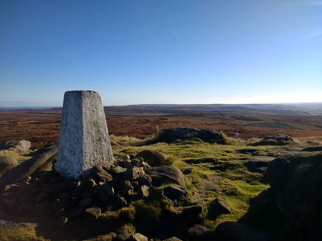
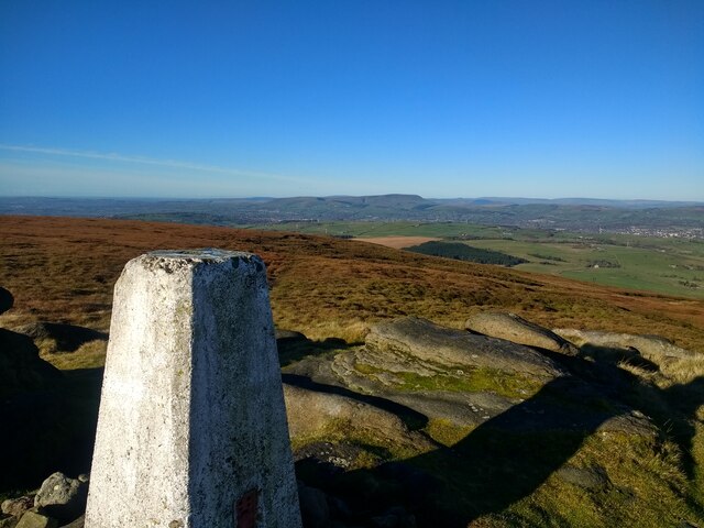
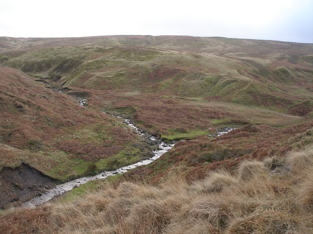
Broad Head Moor is a picturesque area located in Lancashire, England. Situated on the outskirts of the small village of Broad Head, it is known for its stunning downs and moorland landscapes. Covering an extensive area of approximately 500 acres, Broad Head Moor offers a tranquil and idyllic setting for nature enthusiasts and hikers alike.
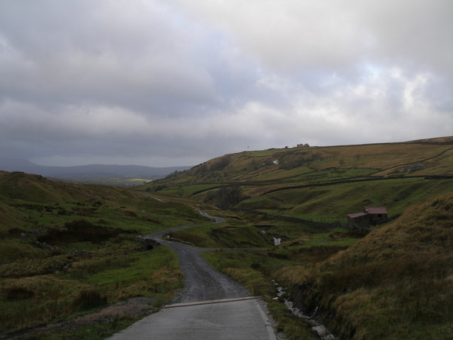
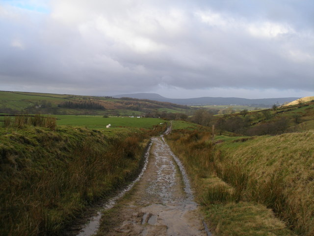
The moorland consists of vast expanses of heather, grass, and gorse, creating a vibrant tapestry of colors throughout the seasons. Its undulating terrain provides breathtaking panoramic views of the surrounding countryside, making it a popular destination for photographers and artists seeking inspiration.
Broad Head Moor is home to a diverse range of wildlife, including several species of birds such as skylarks, curlews, and lapwings. The heather-covered slopes also provide a habitat for small mammals like rabbits and voles. In addition, the moorland is dotted with small ponds and streams, attracting amphibians and insects.
Visitors to Broad Head Moor can explore its extensive network of footpaths and trails, allowing them to discover the area's natural beauty up close. The moorland also offers opportunities for outdoor activities such as hiking, birdwatching, and picnicking.
Overall, Broad Head Moor is a hidden gem in Lancashire, providing a haven for both wildlife and nature enthusiasts. Its unspoiled landscapes and peaceful atmosphere make it a perfect retreat for those seeking solace in nature's embrace.
If you have any feedback on the listing, please let us know in the comments section below.
Broad Head Moor Images
Images are sourced within 2km of 53.827647/-2.0909815 or Grid Reference SD9436. Thanks to Geograph Open Source API. All images are credited.


Broad Head Moor is located at Grid Ref: SD9436 (Lat: 53.827647, Lng: -2.0909815)
Administrative County: Lancashire
District: Pendle
Police Authority: Lancashire
What 3 Words
///dangerously.nourished.fires. Near Colne, Lancashire
Nearby Locations
Related Wikis

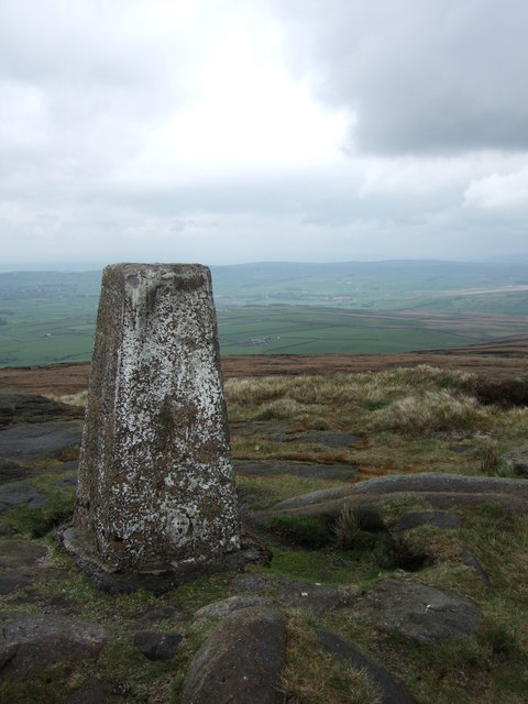
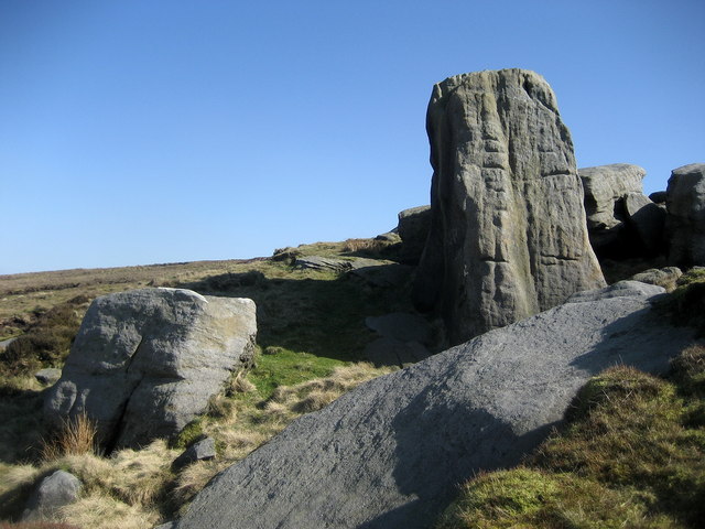
Boulsworth Hill
Boulsworth Hill is a large expanse of moorland, the highest point of the South Pennines of south-eastern Lancashire, England, separating the Borough of...

Wycoller
Wycoller is a village in the civil parish of Trawden Forest in Pendle, Lancashire, England. It is 3 miles (4.8 km) east of Colne, near to the junction...
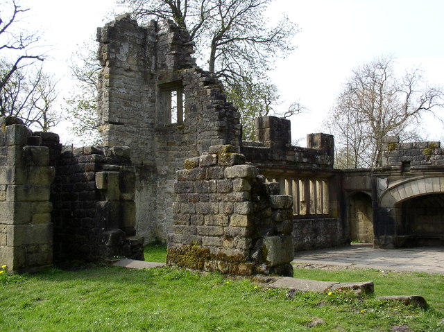
Wycoller Hall
Wycoller Hall was a late sixteenth-century manor house in the village of Wycoller, Lancashire, England. The hall was the centre of a sizeable estate but...

Trawden Brook
Trawden Brook is a minor river in Lancashire, England. It is 3.48 miles (5.6 km) long and has a catchment area of 4.40 square miles (11.4 km2). Rising...
Have you been to Broad Head Moor?
Leave your review of Broad Head Moor below (or comments, questions and feedback).