Birks Clough

Valley in Lancashire

England

Birks Clough

Rochdale Canal at Gauxholme View from Rochdale to Leeds railway
Rochdale Canal at Gauxholme Credit: Raymond Knapman

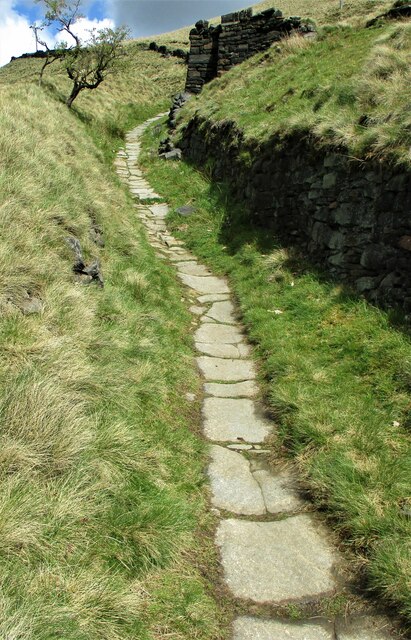
Birks Clough is a picturesque valley located in Lancashire, England. Nestled amidst the rolling hills of the Pennines, this valley is known for its natural beauty and tranquil atmosphere. The name "clough" is a local term used to describe a narrow valley or gorge, and Birks Clough lives up to this description with its steep slopes and lush vegetation.

The valley is home to a diverse range of flora and fauna, making it an ideal spot for nature enthusiasts and wildlife lovers. Visitors can expect to encounter a variety of bird species, including woodpeckers and owls, as well as small mammals like rabbits and squirrels. The presence of a crystal-clear stream running through the valley adds to its charm, and it is not uncommon to spot trout swimming in its waters.

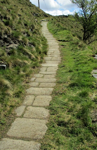
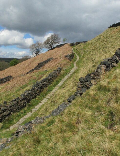
Hiking and walking trails crisscross the valley, offering visitors the opportunity to explore its scenic surroundings. The trails lead to breathtaking viewpoints, allowing hikers to soak in panoramic vistas of the surrounding countryside. Additionally, there are picnic spots dotted along the trails, providing a perfect setting for a leisurely lunch amidst nature.

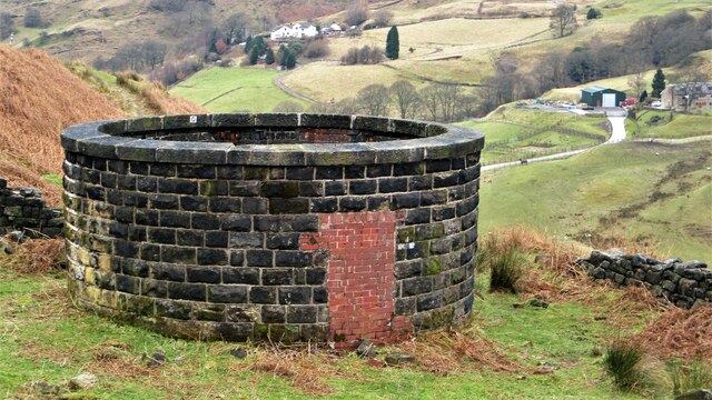
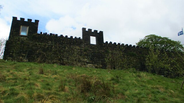
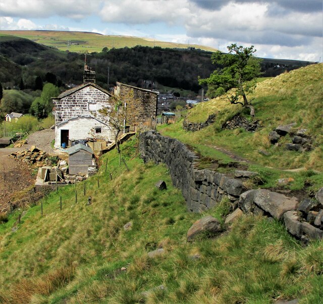
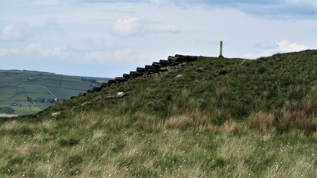
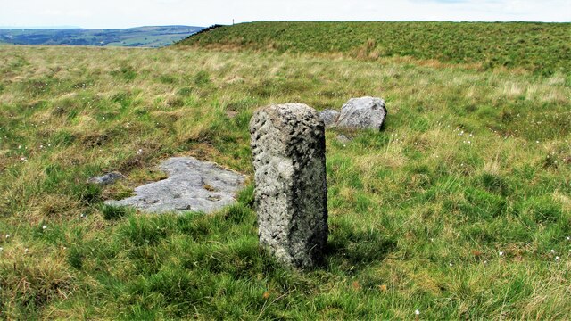
Birks Clough is also steeped in history, with evidence of human habitation dating back centuries. The remnants of old farmsteads and stone walls can be found scattered throughout the valley, serving as a reminder of the area's agricultural past.

Overall, Birks Clough is a hidden gem in Lancashire, offering visitors a chance to immerse themselves in nature and experience the tranquility of a charming valley setting.

If you have any feedback on the listing, please let us know in the comments section below.
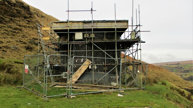
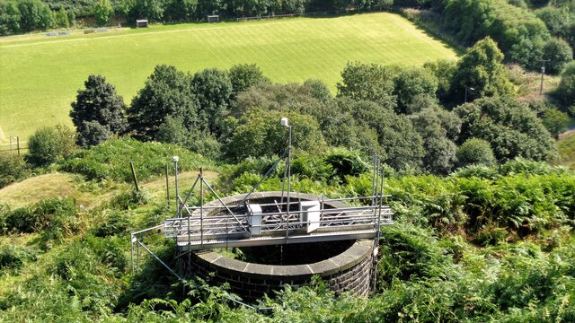
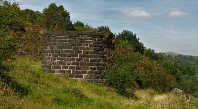
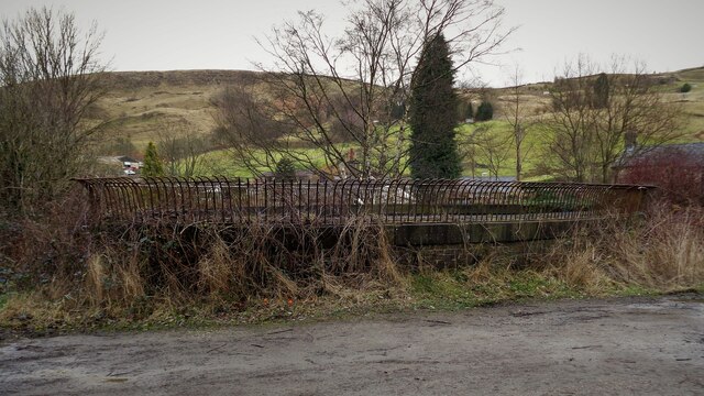
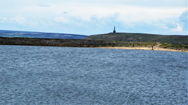
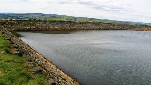
Birks Clough Images

Images are sourced within 2km of 53.694111/-2.0919494 or Grid Reference SD9421. Thanks to Geograph Open Source API. All images are credited.

Rochdale Canal at Gauxholme View from Rochdale to Leeds railway
Rochdale Canal at Gauxholme
View from Rochdale to Leeds railway
Summit Railway Tunnel Air Shaft No.10 North of Moor Bank Clough
Summit Railway Tunnel Air Shaft No.10
North of Moor Bank Clough
Summit Railway Tunnel Air Shaft No.11 Shaft above Bellholme Sports Ground
Summit Railway Tunnel Air Shaft No.11
Shaft above Bellholme Sports Ground
Summit Railway Tunnel Air Shaft No.12 Shaft South East of Rough Stones
Summit Railway Tunnel Air Shaft No.12
Shaft South East of Rough Stones
Summit Railway Tunnel Air Shaft, Bottomley Large Oval Shaft off Bottomley Road
Summit Railway Tunnel Air Shaft, Bottomley
Large Oval Shaft off Bottomley Road
Summit Railway Tunnel Air Shaft No.11 The Shaft with the monitoring equipment removed
Summit Railway Tunnel Air Shaft No.11
The Shaft with the monitoring equipment removed
Eyecatcher Wall of Warland Farm The farm yard boundary wall is conspicuous in the landscape of the Summit pass
Eyecatcher Wall of Warland Farm
The farm yard boundary wall is conspicuous in the landscape of the Summit pass
Causey Stones on Packhorse Track The climb up after Dean Royd Farm towards Bottomley
Causey Stones on Packhorse Track
The climb up after Dean Royd Farm towards Bottomley
Packhorse Track behind Dean Royd Farm The track at this point has a substantial embankment
Packhorse Track behind Dean Royd Farm
The track at this point has a substantial embankment
Causey Stones on Packhorse Track The climb up after Dean Royd Farm to Hollingworth Gate
Causey Stones on Packhorse Track
The climb up after Dean Royd Farm to Hollingworth Gate
Causey Stones on Packhorse Track Final climb of track before flatter section to Hollingworth Gate
Causey Stones on Packhorse Track
Final climb of track before flatter section to Hollingworth Gate
Lower Knowl A work in progress
Lower Knowl
A work in progress
Swineshead Farm View from Lower Knowl
Swineshead Farm
View from Lower Knowl
Lower Knowl A farmhouse hopefully work in progress
Lower Knowl
A farmhouse hopefully work in progress
Steps at Gaddings Dam Steps at western corner of dam showing daylight through them
Steps at Gaddings Dam
Steps at western corner of dam showing daylight through them
Langfield Common Boundary Stone Stone with L on face away from camera, nothing discernible on other. Gaddings Dam steps in background
Langfield Common Boundary Stone
Stone with L on face away from camera, nothing discernible on other. Gaddings Dam steps in background
Costa del Todmordo The beach in Gaddings Dam, a very popular spot for Todmorden folk. Stoodley Pike Monument in the background
Costa del Todmordo
The beach in Gaddings Dam, a very popular spot for Todmorden folk. Stoodley Pike Monument in the background
Gaddings Dam The stone inner face of the dam. Gaddings is maintained by a local Group with Friends support.
Gaddings Dam
The stone inner face of the dam. Gaddings is maintained by a local Group with Friends support.
Show me another place!

Birks Clough is located at Grid Ref: SD9421 (Lat: 53.694111, Lng: -2.0919494)

Unitary Authority: Calderdale

Police Authority: West Yorkshire

What 3 Words

///springing.drilling.rebounder. Near Walsden, West Yorkshire

Related Wikis

Walsden

Walsden (; WOLZ-dən) is a large village in the civil parish of Todmorden in the Metropolitan Borough of Calderdale, West Yorkshire, England. It was historically...

Walsden railway station

Walsden railway station (; WOLZ-dən) serves the village of Walsden, Todmorden in West Yorkshire, England, on the edge of the Pennines. It is served by...

Summit Tunnel

Summit Tunnel in England is one of the world's oldest railway tunnels. It was constructed between 1838 and 1841 by the Manchester and Leeds Railway Company...

Todmorden Unitarian Church

Todmorden Unitarian Church is a Unitarian church located in Honey Hole Road, Todmorden, West Yorkshire, England (grid reference SD935239). Built in honour...

Nearby Amenities

Located within 500m of 53.694111,-2.0919494
Turning Circle
Lat/Long: 53.6908554/-2.0961686
Man Made: tower
Tower Type: communication
Lat/Long: 53.690662/-2.0965301
Turning Circle
Lat/Long: 53.6925232/-2.0925118
The data included in this document is from www.openstreetmap.org. The data is made available under ODbL.

Have you been to Birks Clough?

Leave your review of Birks Clough below (or comments, questions and feedback).