Weardale

Valley in Durham

England

Weardale

Plantation east of Weather Hill This is a small rectangular plantation lying north of an area known as Heights Pasture which is in turn north of Heights Quarry, (a large excavation on the north side of the Wear valley). It's seen here from the local high point - Weather Hill - just a few tens of metres to the west.
Plantation east of Weather Hill Credit: Trevor Littlewood

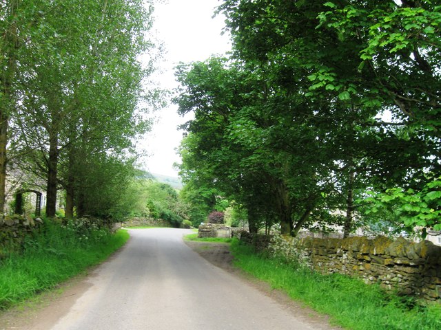
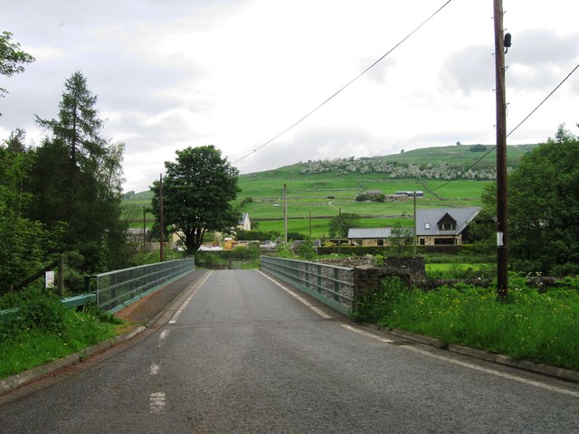
Weardale, located in the county of Durham in northeastern England, is a picturesque valley renowned for its natural beauty and rich history. Stretching for approximately 30 miles, the valley is surrounded by rolling hills and breathtaking landscapes, making it a popular destination for outdoor enthusiasts and nature lovers alike.

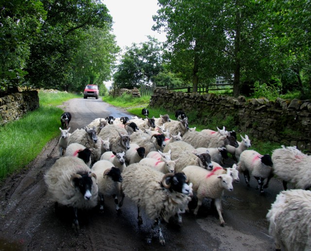
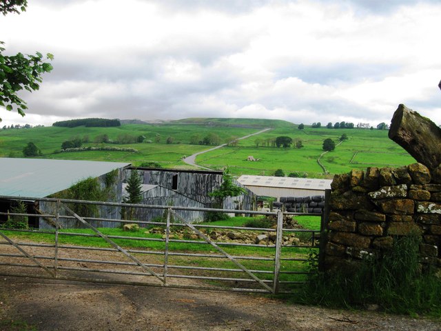
Weardale is characterized by its rugged terrain, dotted with charming villages and small towns that exude a sense of tranquility and old-world charm. The main settlements in the valley include Stanhope, Wolsingham, and Frosterley, each offering a unique blend of heritage and modern amenities.

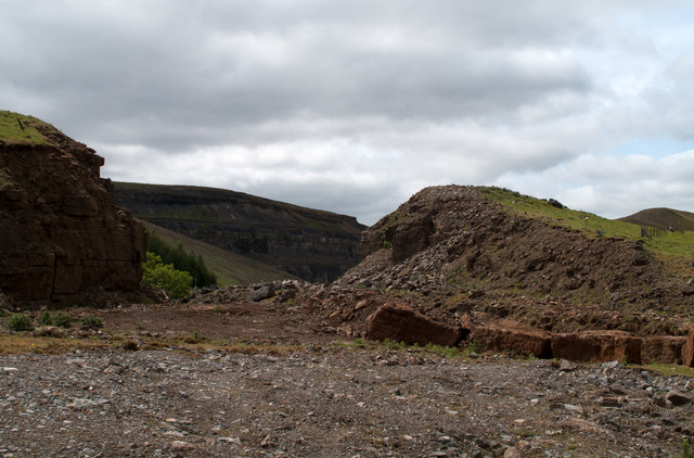
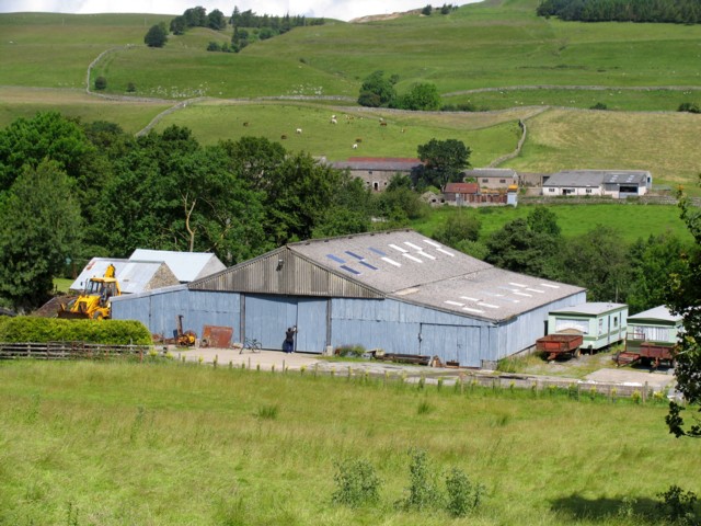
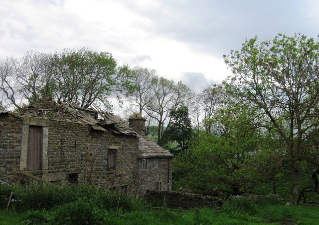
The area is famous for its mining heritage, particularly lead mining, which played a significant role in Weardale's economy for centuries. Visitors can delve into this history at the Weardale Museum and High House Chapel in Ireshopeburn, where artifacts and displays provide insight into the region's industrial past.

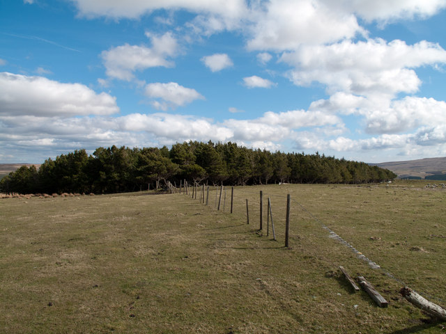
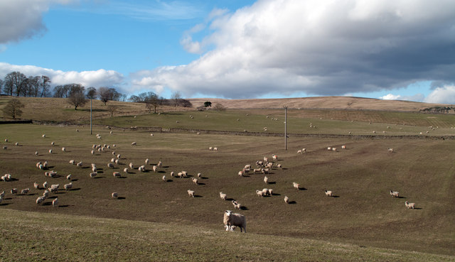
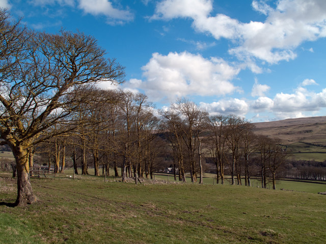
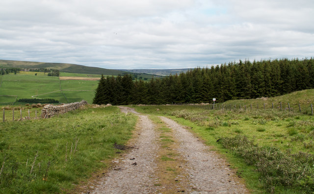
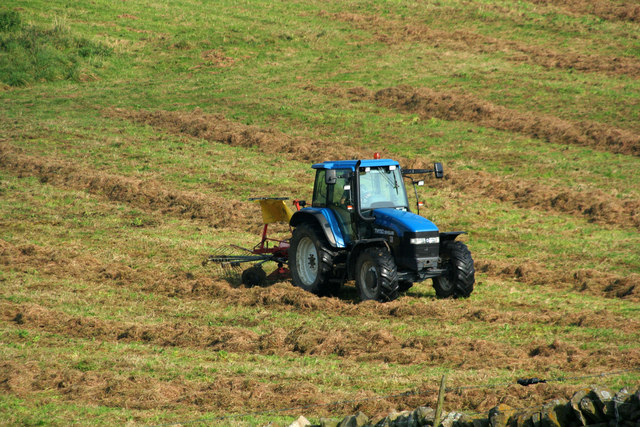
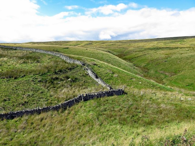
Nature enthusiasts are drawn to Weardale for its exceptional landscapes and wildlife. The valley is a haven for hikers, with numerous trails winding through expansive moorlands, dense forests, and along the River Wear, which meanders through the heart of the valley. The surrounding hills and fells offer breathtaking views and provide opportunities for activities such as cycling, horseback riding, and birdwatching.

Weardale also hosts a range of annual events and festivals, including the renowned Stanhope Show, which showcases local agriculture, crafts, and entertainment. The valley's vibrant arts scene is celebrated at the Weardale Arts Festival, where visitors can enjoy a diverse program of performances, exhibitions, and workshops.

In conclusion, Weardale is a captivating destination that seamlessly blends natural beauty, fascinating history, and a warm community spirit. Whether exploring its rugged landscapes, immersing oneself in its mining heritage, or simply enjoying the tranquility of its villages, Weardale offers a captivating experience for visitors of all interests.

If you have any feedback on the listing, please let us know in the comments section below.
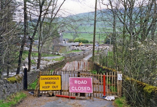
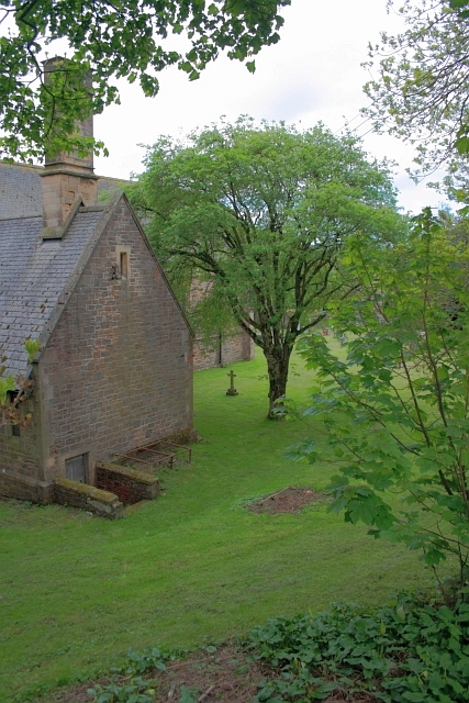
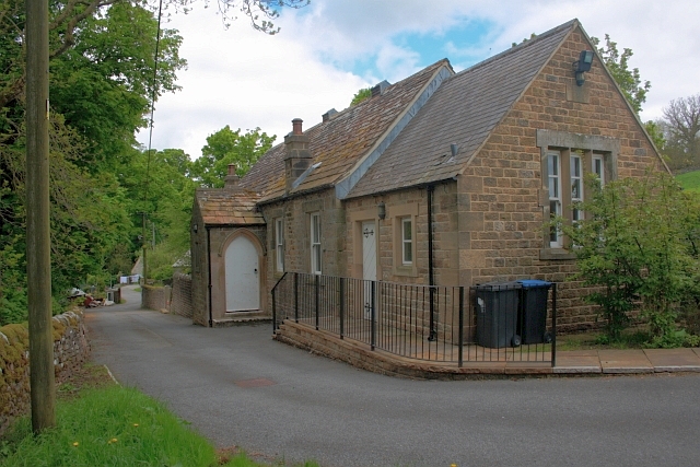
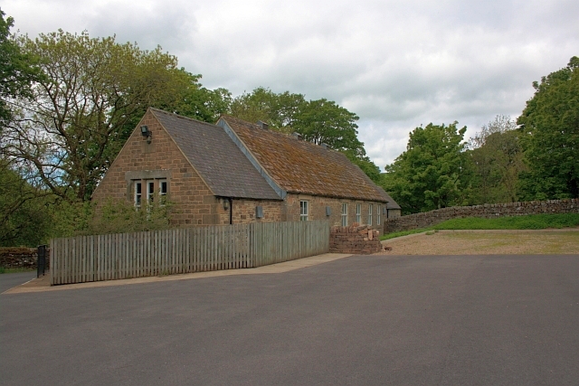
Weardale Images

Images are sourced within 2km of 54.742084/-2.0967839 or Grid Reference NY9338. Thanks to Geograph Open Source API. All images are credited.

Plantation east of Weather Hill This is a small rectangular plantation lying north of an area known as Heights Pasture which is in turn north of Heights Quarry, (a large excavation on the north side of the Wear valley). It's seen here from the local high point - Weather Hill - just a few tens of metres to the west.
Plantation east of Weather Hill
This is a small rectangular plantation lying north of an area known as Heights Pasture which is in turn north of Heights Quarry, (a large excavation on the north side of the Wear valley). It's seen here from the local high point - Weather Hill - just a few tens of metres to the west.
Sheep in fields east of farm at Rose Hill Expectant sheep occupy and graze these fields; at least one of them, nearest the camera, has already produced a lamb.
Sheep in fields east of farm at Rose Hill
Expectant sheep occupy and graze these fields; at least one of them, nearest the camera, has already produced a lamb.
South Eastgate Plantation Plantations are normally large and densely packed with coniferous trees; South Eastgate Plantation is small and thinly populated with broadleaved trees.
South Eastgate Plantation
Plantations are normally large and densely packed with coniferous trees; South Eastgate Plantation is small and thinly populated with broadleaved trees.
Quarry of 'Weardale Works' Weardale has seen massive amounts of rock quarried from its sides and no larger working exists in the valley than the old Blue Circle, later Lafarge operation on the south side which supplied limestone by conveyor to the cement works at Eastgate; OS mapping names the area as 'Weardale Works'.
Soon after the Lafarge purchase quarrying and cement manufacture ceased and the cement works at Eastgate was erased. Similarly the quarrying operation ended and the quarry area has been landscaped.
Once a public footpath cut across the north end of the quarry site; it was closed during the period of extraction but it seems that it might be reopened in the future; the image here was taken from the probable line of the path and shows distantly part of the quarry face beyond nearer workings.
Quarry of 'Weardale Works'
Weardale has seen massive amounts of rock quarried from its sides and no larger working exists in the valley than the old Blue Circle, later Lafarge operation on the south side which supplied limestone by conveyor to the cement works at Eastgate; OS mapping names the area as 'Weardale Works'. Soon after the Lafarge purchase quarrying and cement manufacture ceased and the cement works at Eastgate was erased. Similarly the quarrying operation ended and the quarry area has been landscaped. Once a public footpath cut across the north end of the quarry site; it was closed during the period of extraction but it seems that it might be reopened in the future; the image here was taken from the probable line of the path and shows distantly part of the quarry face beyond nearer workings.
South-west corner of Ludwell Wood Ludwell Wood lies to the east of the valley of Western Hope; it's seen in this image from an estate road to the south on the same side of Western Hope.
South-west corner of Ludwell Wood
Ludwell Wood lies to the east of the valley of Western Hope; it's seen in this image from an estate road to the south on the same side of Western Hope.
Storage shed
Storage shed
Herding Sheep
Herding Sheep
Ludwell Haymaking in fields on Ludwell Farm.
Ludwell
Haymaking in fields on Ludwell Farm.
Entrance to Eastgate
Eastgate: approaching former station,  1995 View NW across a temporarily closed bridge over the River Wear, to the ex-NER Bishop Auckland (to left) - Wearhead (to right) line. Eastgate station and the service to Wearhead closed to passengers from 29/6/53, but goods continued until 1961, to Westgate until 1/7/68 and (for cement) from Eastgate until 17/3/93. The line was mothballed until 2004, then acquired as a heritage operation by the Weardale Railway for progressive restoration.
Eastgate: approaching former station, 1995
View NW across a temporarily closed bridge over the River Wear, to the ex-NER Bishop Auckland (to left) - Wearhead (to right) line. Eastgate station and the service to Wearhead closed to passengers from 29/6/53, but goods continued until 1961, to Westgate until 1/7/68 and (for cement) from Eastgate until 17/3/93. The line was mothballed until 2004, then acquired as a heritage operation by the Weardale Railway for progressive restoration.
All Saints Church, Eastgate
Village Hall, Eastgate
Westernhopeburn
Westernhopeburn
Westernhopeburn
Westernhopeburn
Ruin, Westernhopeburn
Hag Bridge
Hag Bridge
Boundary wall near Crow's Cleugh
Show me another place!

Weardale is located at Grid Ref: NY9338 (Lat: 54.742084, Lng: -2.0967839)

Unitary Authority: County Durham

Police Authority: Durham

What 3 Words

///dips.fragments.countries. Near Stanhope, Co. Durham

Nearby Locations

Weardale

Related Wikis

Weardale campaign

The Weardale campaign, part of the First War of Scottish Independence, occurred during July and August 1327 in Weardale, England. A Scottish force under...

Eastgate, County Durham

Eastgate is a village in the civil parish of Stanhope, in County Durham, England. It is situated in Weardale, a few miles west of Stanhope. In the 2001...

Westernhope Burn Wood

Westernhope Burn Wood is a Site of Special Scientific Interest in the Wear Valley district of south-west County Durham, England. It occupies the steeply...

Brotherlee

Brotherlee is a small village in the civil parish of Stanhope, in County Durham, England situated on the south side of Weardale, between Stanhope and Daddry...

Nearby Amenities

Located within 500m of 54.742084,-2.0967839
Barrier: cattle_grid
Lat/Long: 54.7448726/-2.0983941
Cambokeels Mine
Historic: mine
Source: OS_OpenData_StreetView
Website: https://www.mindat.org/loc-1410.html
Lat/Long: 54.739492/-2.1029273
Barrier: entrance
Lat/Long: 54.7381405/-2.0960172
Disused: yes
Man Made: adit
Lat/Long: 54.7396992/-2.1027041
Power: pole
Lat/Long: 54.742511/-2.103387
Power: pole
Lat/Long: 54.7422625/-2.1019962
Power: pole
Lat/Long: 54.7420124/-2.1006042
Power: pole
Lat/Long: 54.7417593/-2.0991799
Power: pole
Lat/Long: 54.7415015/-2.0977865
The data included in this document is from www.openstreetmap.org. The data is made available under ODbL.

Have you been to Weardale?

Leave your review of Weardale below (or comments, questions and feedback).