Snipe Clough
Valley in Lancashire
England
Snipe Clough
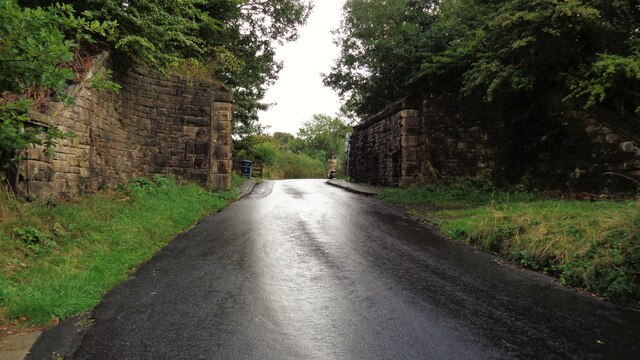
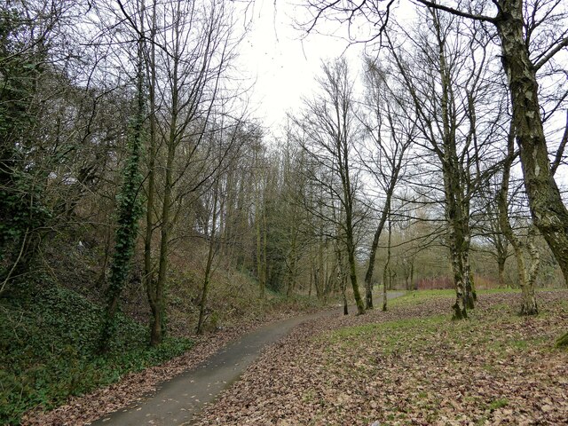
Snipe Clough is a picturesque valley located in Lancashire, England. The valley is surrounded by lush green hills and is home to a variety of wildlife and plant species. The Clough is named after the snipe bird, which can often be spotted in the area.
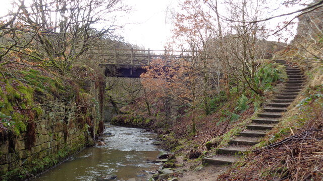
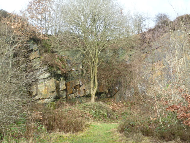
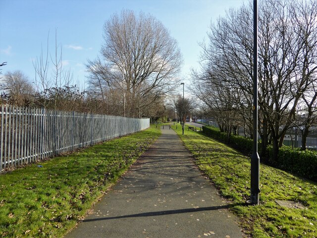
The valley is popular among hikers and nature enthusiasts, with several walking trails that offer stunning views of the surrounding countryside. The landscape is characterized by rocky outcrops, cascading waterfalls, and dense woodlands.
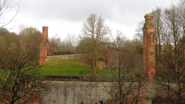
Snipe Clough is also known for its rich history, with evidence of ancient settlements and industrial activity dating back centuries. The valley was once home to a thriving textile industry, with several mills operating in the area.
Today, Snipe Clough is a peaceful retreat for those looking to escape the hustle and bustle of city life. The valley offers a tranquil setting for relaxation and recreation, making it a popular destination for locals and tourists alike. Whether you're looking for a challenging hike or a quiet picnic spot, Snipe Clough has something to offer for everyone.
If you have any feedback on the listing, please let us know in the comments section below.
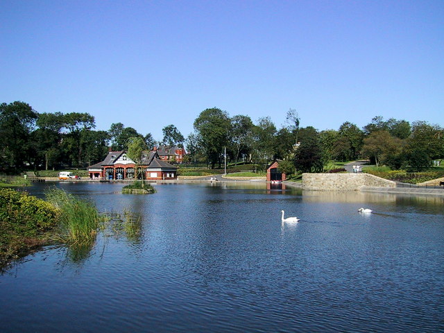
Snipe Clough Images
Images are sourced within 2km of 53.528434/-2.0996145 or Grid Reference SD9303. Thanks to Geograph Open Source API. All images are credited.


Snipe Clough is located at Grid Ref: SD9303 (Lat: 53.528434, Lng: -2.0996145)
Unitary Authority: Oldham
Police Authority: Greater Manchester
What 3 Words
///closes.bath.feed. Near Oldham, Manchester
Nearby Locations
Related Wikis

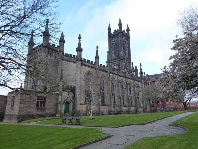
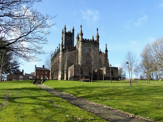
Maple Mill, Oldham
The Maple Mill was a cotton spinning mill in Hathershaw, Oldham, Greater Manchester, England. It was designed as a double mill by the architect Sydney...
Alexandra Park, Oldham
Alexandra Park is a public park in Oldham, Greater Manchester, England. It was created in response to the Lancashire Cotton Famine of 1861–1865 as an attempt...
Fitton Hill
Fitton Hill is a large housing estate in the town of Oldham in Greater Manchester, contiguous with Hathershaw and Bardsley. Lying 2 miles south of Oldham...

Hathershaw
Hathershaw (or, archaically, Hathershaw Moor) is an urban area of Oldham, in Greater Manchester, England. It occupies a hillside to the immediate south...
Related Videos

Oldham Edge, Oldham, Greater Manchester
Oldham Edge is where Michael has not been for a long time. Its a naturalist's paradise, thickly wooded, impenetrable in parts, but ...


Oldham
A Walk In Oldham.

Waking In Woods #shorts #walking
I am walking on Northern Routes behind Alexandra Park Oldham United Kingdom. #shorts #walkinguk #walking.
Nearby Amenities
Located within 500m of 53.528434,-2.0996145Have you been to Snipe Clough?
Leave your review of Snipe Clough below (or comments, questions and feedback).