Ashcombe Bottom
Valley in Wiltshire
England
Ashcombe Bottom
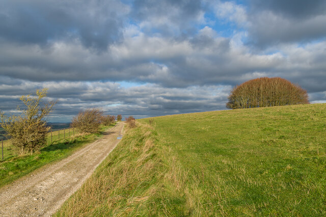
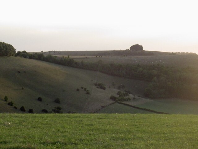
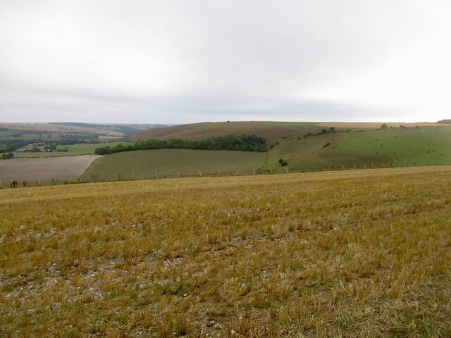
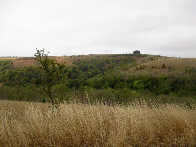
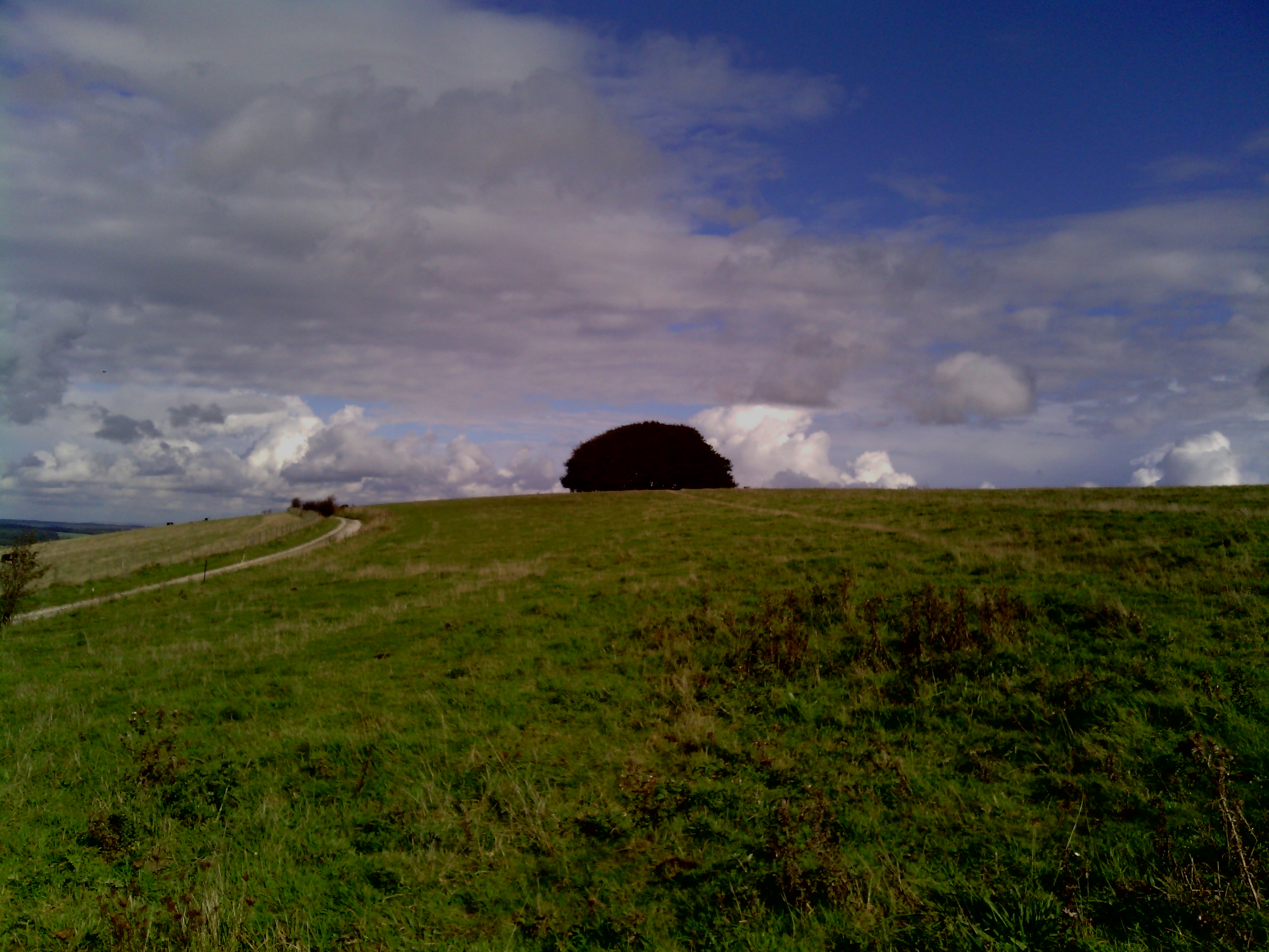
Ashcombe Bottom is a picturesque valley located in the county of Wiltshire, England. Situated in the southern part of the county, the valley is surrounded by rolling hills and verdant countryside, providing a tranquil and idyllic setting.
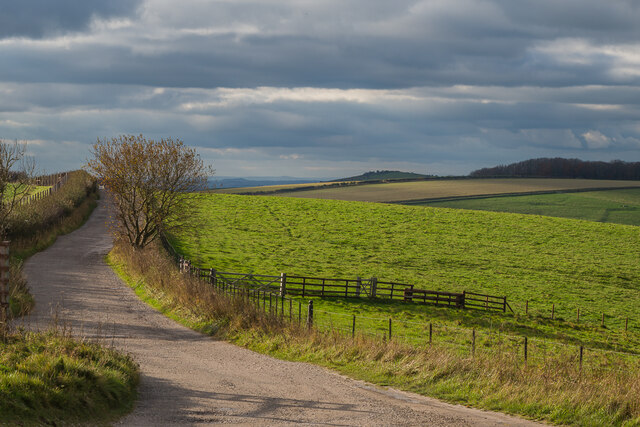
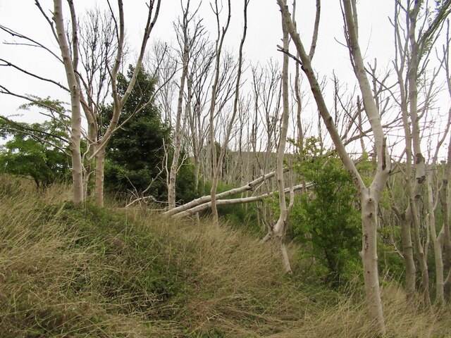
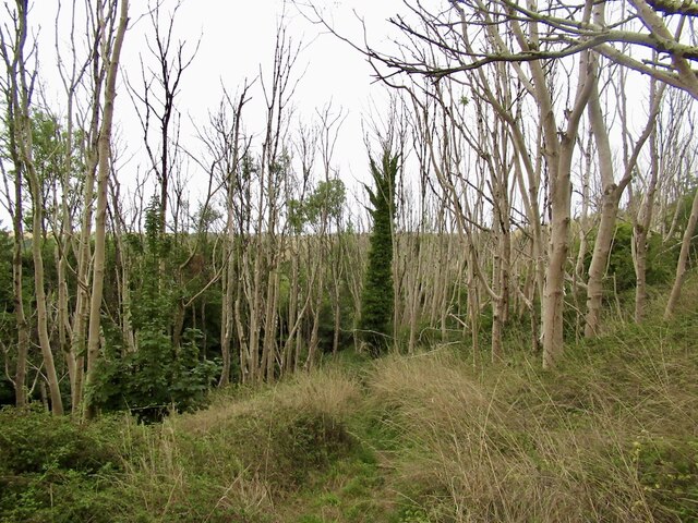
The valley is known for its natural beauty and diverse wildlife, making it a popular destination for nature lovers and outdoor enthusiasts. Lush meadows, ancient woodlands, and meandering streams can be found throughout Ashcombe Bottom, creating a rich and varied ecosystem. The area is home to a wide range of plant and animal species, including rare and protected ones.
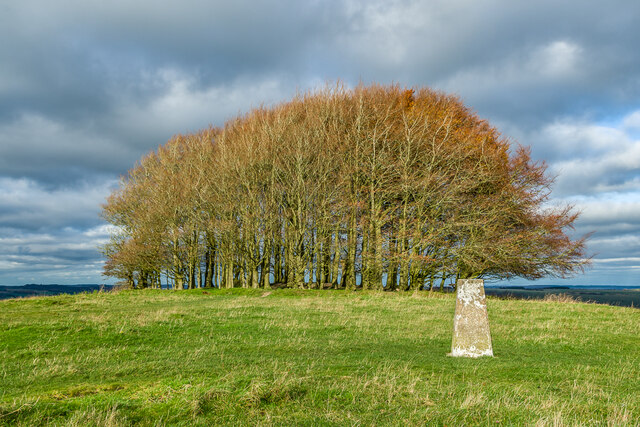
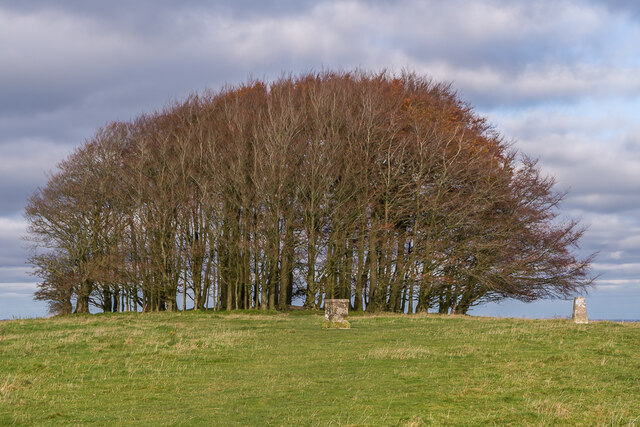
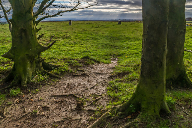
In addition to its natural attractions, Ashcombe Bottom also holds historical significance. The valley has evidence of human activity dating back to prehistoric times, with archaeological finds suggesting that it was inhabited during the Neolithic period. The remains of ancient settlements and burial sites can still be seen in the surrounding landscape.
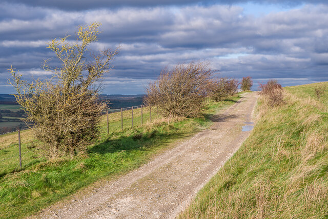
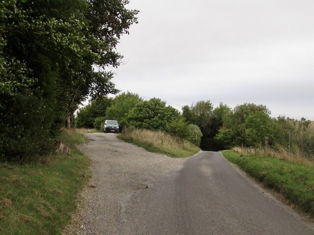
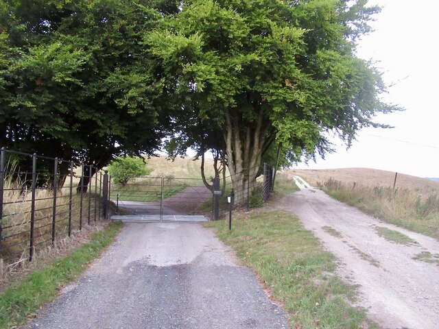
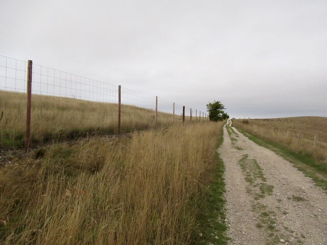
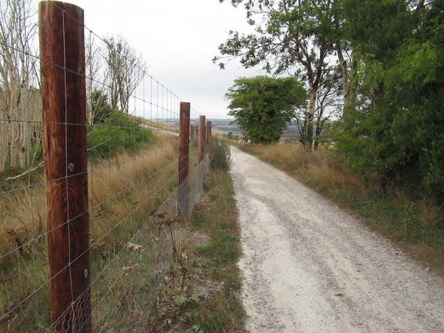
Furthermore, Ashcombe Bottom offers a network of walking trails and footpaths, allowing visitors to explore the valley and enjoy its natural wonders. These paths provide stunning views of the surrounding countryside and are suitable for all levels of walkers.
Overall, Ashcombe Bottom is a picturesque and historically significant valley in Wiltshire, offering a serene escape from the hustle and bustle of modern life. Whether it's exploring the natural beauty, discovering its ancient past, or simply enjoying a peaceful stroll, this valley has something to offer for everyone.
If you have any feedback on the listing, please let us know in the comments section below.
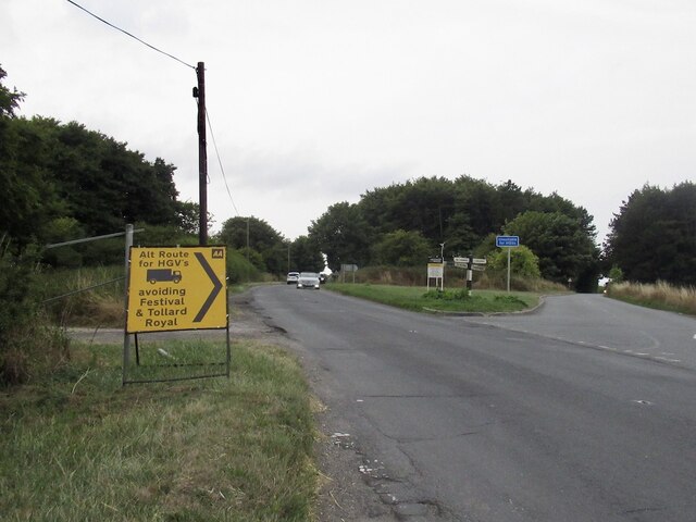
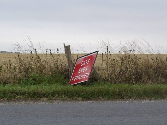
Ashcombe Bottom Images
Images are sourced within 2km of 50.971205/-2.0943589 or Grid Reference ST9319. Thanks to Geograph Open Source API. All images are credited.
Ashcombe Bottom is located at Grid Ref: ST9319 (Lat: 50.971205, Lng: -2.0943589)
Unitary Authority: Wiltshire
Police Authority: Wiltshire
What 3 Words
///flashback.oxidation.exhales. Near Ansty, Wiltshire
Nearby Locations
Related Wikis

Ashcombe House, Wiltshire
Ashcombe House, also known as Ashcombe Park, is a Georgian manor house, set in 1,134 acres (4.59 km2) of land on Cranborne Chase in the parish of Berwick...

Rotherley Downs
Rotherley Downs (grid reference ST946196) is a 120.05 hectare biological Site of Special Scientific Interest in Wiltshire, England, notified in 1989. The...
Rotherley Down Settlement
Rotherley Down Settlement is an archaeological site of the late Iron Age and Romano-British period on Cranborne Chase, England. It is about 1.5 miles...

Tollard Royal
Tollard Royal is a village and civil parish on Cranborne Chase, Wiltshire, England. The parish is on Wiltshire's southern boundary with Dorset and the...

King John's House, Tollard Royal
King John's House is a former manor house in the south Wiltshire village of Tollard Royal, England. Just south of the church, the building has at its core...
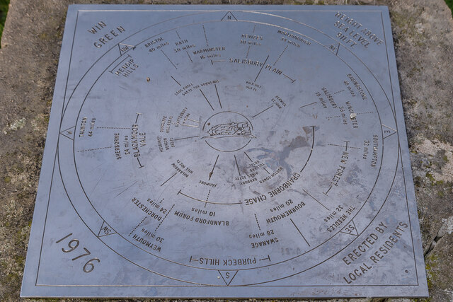
Win Green Down
Win Green Down at grid reference ST927209 in south-western Wiltshire, England is a 26.0 hectares (64 acres) biological Site of Special Scientific Interest...

Sandroyd School
Sandroyd School is an independent co-educational preparatory school for day and boarding pupils aged 2 to 13 in the south of Wiltshire, England. The school...

Larmer Tree Festival
Larmer Tree Festival was a three-day music, comedy and arts festival held annually from 1990 until 2019 at the Larmer Tree Gardens, near Tollard Royal...
Related Videos

WALKS IN WILTSHIRE at TOLLARD ROYAL & WIN GREEN (CLOSE TO THE WILTSHIRE / DORSET BORDER).
In this episode of my series “ Walks in Wiltshire”, I take a walk in & around the village of Tollard Royal which is located very close ...

WALKS IN DORSET at ASHMORE (THE HIGHEST VILLAGE IN DORSET) (4K)
In this episode of my series “ Walks in Dorset”, I take a walk in & around the village of Ashmore in the North east of the county, very ...

Slope Soaring - Win Green, Dorset UK
Slope Soaring at Win Green, Dorset UK. Date: 21/11/2021 Wind Direction: N to NNE Wind Speed: 15 to 25 mph Pilot: Jeff Hobby ...
Nearby Amenities
Located within 500m of 50.971205,-2.0943589Have you been to Ashcombe Bottom?
Leave your review of Ashcombe Bottom below (or comments, questions and feedback).