Jepson Clough
Valley in Cheshire
England
Jepson Clough
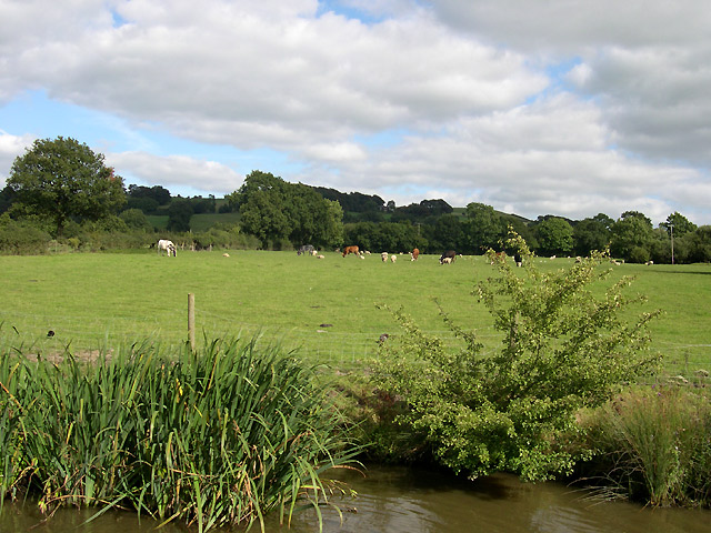
Jepson Clough is a picturesque valley located in the county of Cheshire, England. Nestled within the Cheshire countryside, this charming valley offers a tranquil and scenic setting for visitors and residents alike.
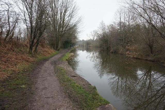
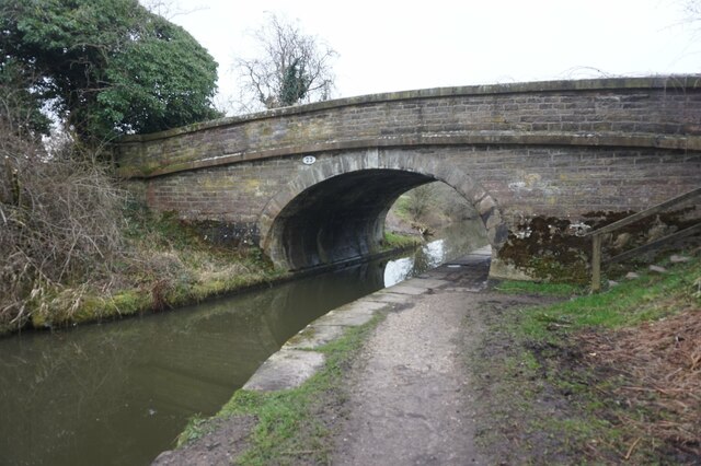
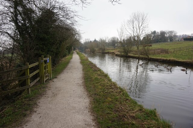
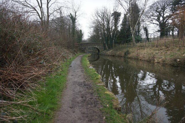
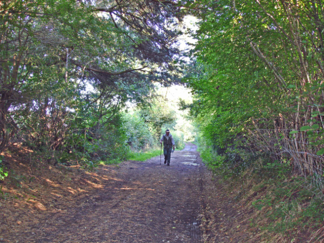
The valley is characterized by its lush green landscapes, rolling hills, and meandering streams. It is surrounded by a diverse range of flora and fauna, making it a popular spot for nature lovers and outdoor enthusiasts. The area is known for its rich biodiversity, with a variety of plant species and wildlife thriving in the valley.
Jepson Clough also boasts historical significance, with evidence of human activity dating back to ancient times. Archaeological discoveries have uncovered remnants of medieval settlements, providing insights into the area's past. The valley has played an important role in the agricultural history of the region, with farming being a significant occupation for the local community.
Visitors to Jepson Clough can enjoy a range of activities, including hiking, cycling, and picnicking. There are several well-marked trails that wind through the valley, offering scenic views and opportunities for exploration. The peaceful ambiance of the valley makes it an ideal destination for those seeking a break from the hustle and bustle of city life.
In summary, Jepson Clough is a picturesque valley in Cheshire, known for its stunning natural landscapes, rich biodiversity, and historical significance. It is a place where visitors can immerse themselves in nature and enjoy the tranquility of the countryside.
If you have any feedback on the listing, please let us know in the comments section below.
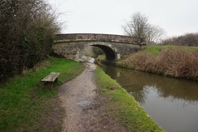
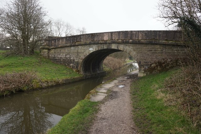
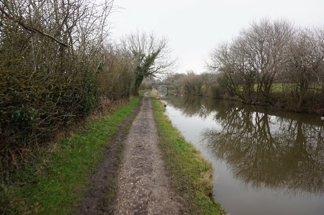
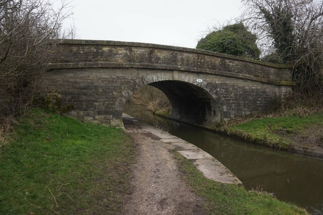
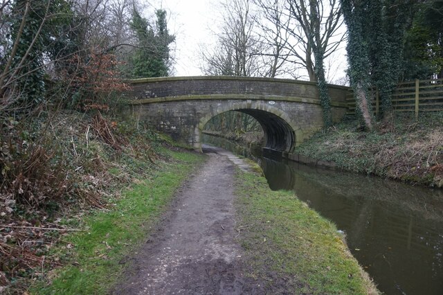
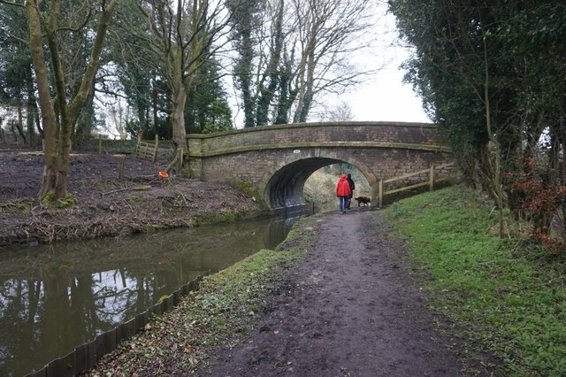
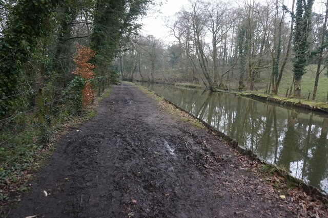
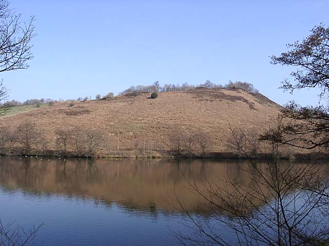
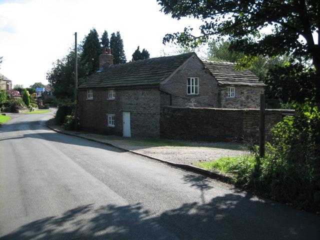
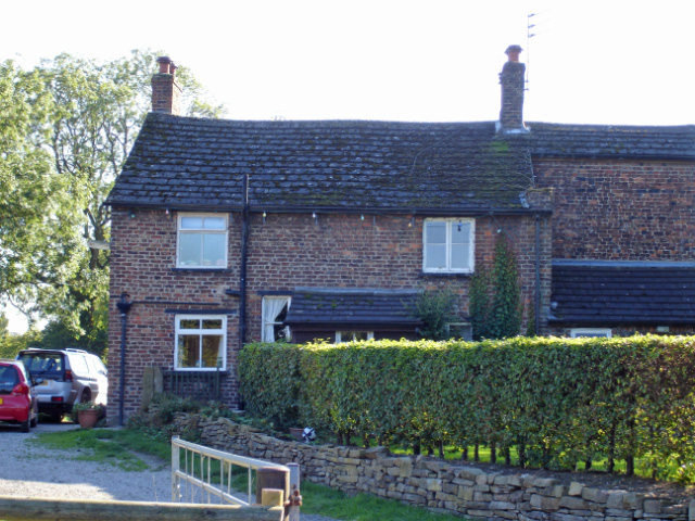
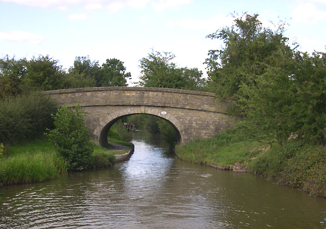
Jepson Clough Images
Images are sourced within 2km of 53.325655/-2.107608 or Grid Reference SJ9280. Thanks to Geograph Open Source API. All images are credited.
Jepson Clough is located at Grid Ref: SJ9280 (Lat: 53.325655, Lng: -2.107608)
Unitary Authority: Cheshire East
Police Authority: Cheshire
What 3 Words
///money.studs.loft. Near Adlington, Cheshire
Nearby Locations
Related Wikis

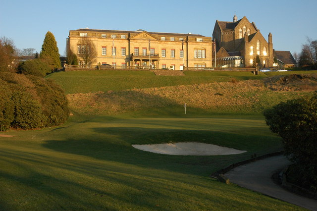
Shrigley Hall
Shrigley Hall is a former country house standing to the northwest of the village of Pott Shrigley, Cheshire, England. It has since been used as a school...
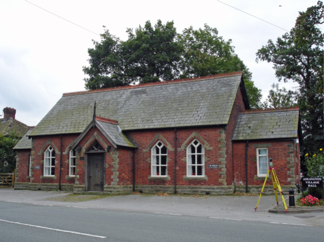
Adlington, Cheshire
Adlington is a village and civil parish in the unitary authority of Cheshire East and the ceremonial county of Cheshire, England. It is known as Eduluintune...

Adlington railway station (Cheshire)
Adlington (Cheshire) railway station serves the village of Adlington in Cheshire, England. It was staffed for many years but is now unstaffed. The station...

Macclesfield Rural District
Macclesfield Rural District was a rural district of Cheshire, England from 1894 to 1974. Macclesfield as a Municipal Borough and Bollington as an urban...
Nearby Amenities
Located within 500m of 53.325655,-2.107608Have you been to Jepson Clough?
Leave your review of Jepson Clough below (or comments, questions and feedback).