Lady's Den

Valley in Aberdeenshire

Scotland

Lady's Den

Mill of Elrick Trout Fishery One of the stocked pools along the Burn of Ebrie.
Mill of Elrick Trout Fishery Credit: Richard Webb

The requested URL returned error: 429 Too Many Requests

If you have any feedback on the listing, please let us know in the comments section below.
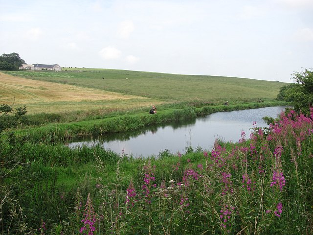
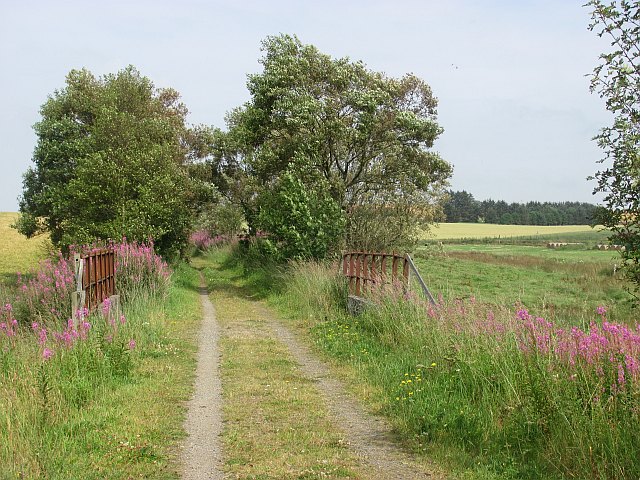
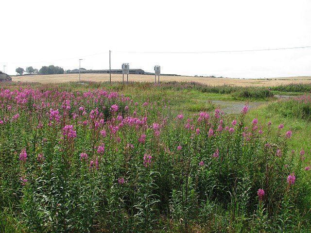
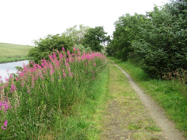
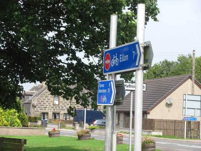
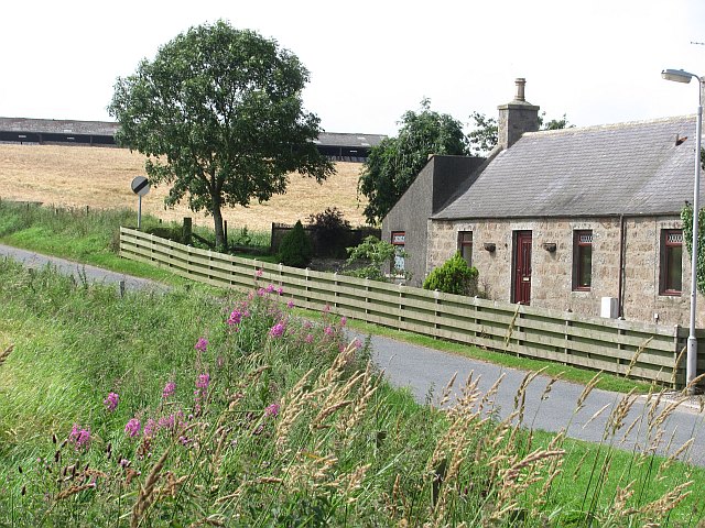
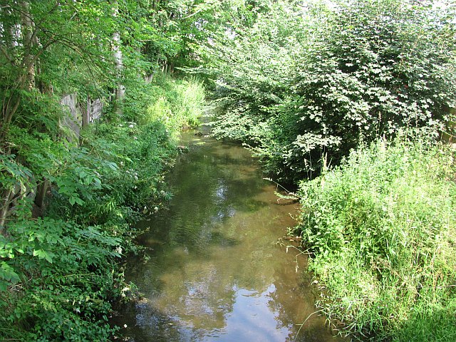
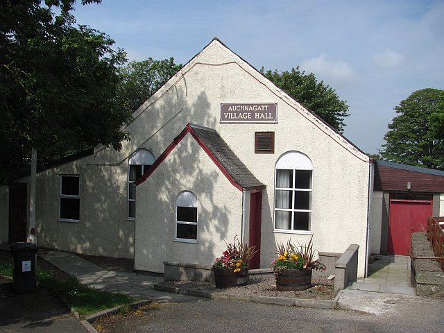
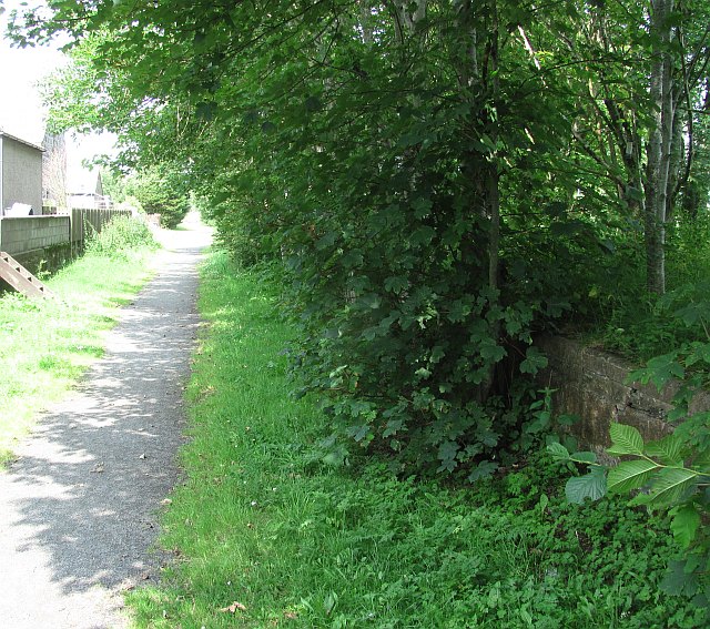
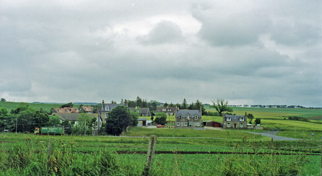
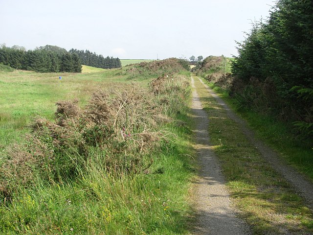
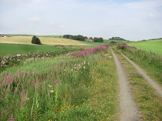
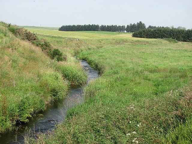
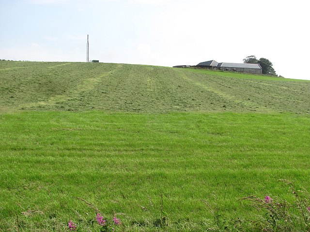
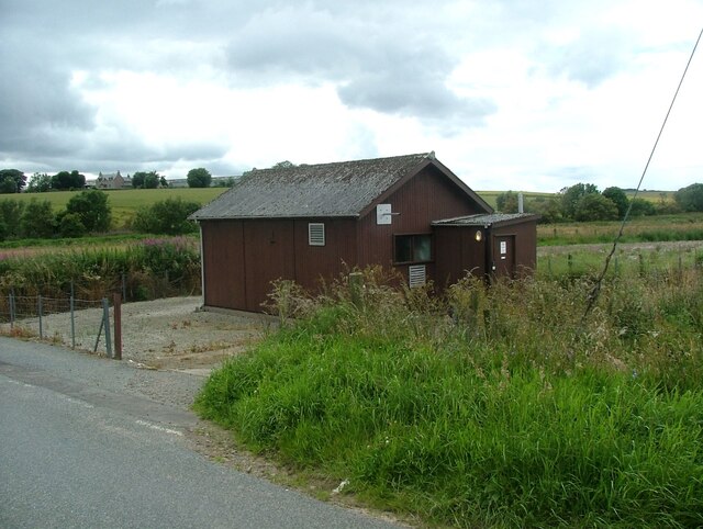
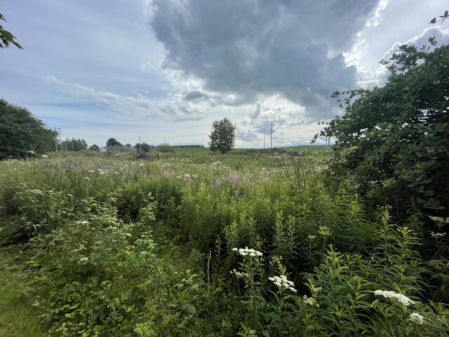
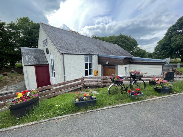
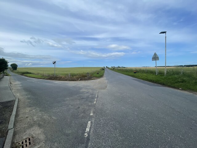
Lady's Den Images

Images are sourced within 2km of 57.45271/-2.1204313 or Grid Reference NJ9240. Thanks to Geograph Open Source API. All images are credited.

Mill of Elrick Trout Fishery One of the stocked pools along the Burn of Ebrie.
Mill of Elrick Trout Fishery
One of the stocked pools along the Burn of Ebrie.
Formartine and Buchan  Way The railway crossed the Ebrie Burn here. It closed in 1979 and now the trackbed is a cycle path and farm access track.
Formartine and Buchan Way
The railway crossed the Ebrie Burn here. It closed in 1979 and now the trackbed is a cycle path and farm access track.
Looking up to Catcraig from the Formartine and Buchan Way The foreground is either the site of Auchnagatt Station or near it. The platforms were further south and 1950's mapping show buildings here.
Looking up to Catcraig from the Formartine and Buchan Way
The foreground is either the site of Auchnagatt Station or near it. The platforms were further south and 1950's mapping show buildings here.
Formartine and Buchan Way The trackbed of the railway from Dyce to Fraserburgh which closed in 1979. It is now a footpath/cyclepath.
Formartine and Buchan Way
The trackbed of the railway from Dyce to Fraserburgh which closed in 1979. It is now a footpath/cyclepath.
Formartine and Buchan Way signs in Auchnagatt Some satisfying big numbers - all but 5 of the miles to Aberdeen are off road.
Formartine and Buchan Way signs in Auchnagatt
Some satisfying big numbers - all but 5 of the miles to Aberdeen are off road.
Auchnagatt
Auchnagatt
Ebrie Burn. Auchnagatt
Auchnagatt Village Hall
Auchnagatt Station An overgrown platform on the Formartine and Buchan Railway.
Auchnagatt Station
An overgrown platform on the Formartine and Buchan Railway.
Site of Auchnagatt station View eastward from A948 road: ex-GNSR (Aberdeen) - Dyce (to right) - Maud - Fraserburgh/Peterhead lines. The station - somewhere in the village here - was closed 4/10/65 when passenger services to Fraserburgh ceased, but handled goods here until 28/3/66 and the line was not closed until 4/10/79.
Site of Auchnagatt station
View eastward from A948 road: ex-GNSR (Aberdeen) - Dyce (to right) - Maud - Fraserburgh/Peterhead lines. The station - somewhere in the village here - was closed 4/10/65 when passenger services to Fraserburgh ceased, but handled goods here until 28/3/66 and the line was not closed until 4/10/79.
Formartine and Buchan  Way The trackbed is used as a farm road here. The path varies throughout its length and is rough in places. Usually though it gives easy riding in a wild and empty setting.
Formartine and Buchan Way
The trackbed is used as a farm road here. The path varies throughout its length and is rough in places. Usually though it gives easy riding in a wild and empty setting.
Formartine and Buchan  Way The trackbed is used as a road here and is well surfaced. View towards Ebrie Lodge.
Formartine and Buchan Way
The trackbed is used as a road here and is well surfaced. View towards Ebrie Lodge.
Ebrie Water
Ebrie Water
Waulkmill of Auchengatt
Auchnagatt telephone exchange Auchnagatt telephone exchange is unusual in being in a very prominent location - most are hidden away.
Auchnagatt telephone exchange
Auchnagatt telephone exchange is unusual in being in a very prominent location - most are hidden away.
Overgrown old station The Formartine and Buchan Way is a long-distance trail in Scotland, extending from Dyce north to Peterhead and Fraserburgh in the Buchan and Formartine districts of Aberdeenshire in Scotland. It follows the track of a former railway line, the Formartine and Buchan Railway, and is open to walkers, cyclists and horse riders.The railway closed in 1979 (Fraserburgh) and 1970 (Maud-Peterhead). The walkway opened in the early 1990s, and is managed by Aberdeenshire Council. It is listed as one of Scotland's Great Trails by NatureScot
64 km (40 mi) to Fraserburgh, plus 21 km (13 mi) spur to Peterhead.
Overgrown old station
The Formartine and Buchan Way is a long-distance trail in Scotland, extending from Dyce north to Peterhead and Fraserburgh in the Buchan and Formartine districts of Aberdeenshire in Scotland. It follows the track of a former railway line, the Formartine and Buchan Railway, and is open to walkers, cyclists and horse riders.The railway closed in 1979 (Fraserburgh) and 1970 (Maud-Peterhead). The walkway opened in the early 1990s, and is managed by Aberdeenshire Council. It is listed as one of Scotland's Great Trails by NatureScot 64 km (40 mi) to Fraserburgh, plus 21 km (13 mi) spur to Peterhead.
Auchnagatt Village hall
Junction on the B9030
Show me another place!

Lady's Den is located at Grid Ref: NJ9240 (Lat: 57.45271, Lng: -2.1204313)

Unitary Authority: Aberdeenshire

Police Authority: North East

What 3 Words

///surfacing.investor.amphibian. Near Ellon, Aberdeenshire

Nearby Locations

Lady's Den

Related Wikis

Formartine and Buchan Way

The Formartine and Buchan Way is a long-distance trail in Scotland, extending from Dyce north to Peterhead and Fraserburgh in the Buchan and Formartine...

Auchnagatt

Auchnagatt (Scottish Gaelic: Achadh nan Cat) is a village and rural area in Buchan, Aberdeenshire, Scotland, situated on the Ebrie Burn and on the A948...

Auchnagatt railway station

Auchnagatt railway station was a railway station in Auchnagatt, Aberdeenshire. Before its closure, services ran to Fraserburgh, Peterhead and Aberdeen...

Arnage Castle

Arnage Castle is a country house, incorporating a Z-plan tower house, located around 4 miles (6.4 km) north of Ellon, in Aberdeenshire, north-east Scotland...

Nearby Amenities

Located within 500m of 57.45271,-2.1204313
Power: pole
Lat/Long: 57.4539404/-2.1283405
Power: pole
Lat/Long: 57.4535521/-2.1275091
Power: pole
Lat/Long: 57.4532175/-2.1268132
Power: pole
Lat/Long: 57.4531198/-2.126578
Power: pole
Lat/Long: 57.4523968/-2.1271502
Power: pole
Lat/Long: 57.4527669/-2.126895
Power: pole
Lat/Long: 57.4535135/-2.1261214
Power: pole
Lat/Long: 57.4539061/-2.1256827
Power: pole
Lat/Long: 57.4543051/-2.125246
Power: pole
Lat/Long: 57.4546698/-2.1248253
Power: pole
Lat/Long: 57.4485206/-2.123028
Power: pole
Lat/Long: 57.4487565/-2.1237438
Power: pole
Lat/Long: 57.4491394/-2.1248642
Power: pole
Lat/Long: 57.4496636/-2.1241992
Power: pole
Lat/Long: 57.4501866/-2.1236125
Power: pole
Lat/Long: 57.450729/-2.1230343
Power: pole
Lat/Long: 57.4506014/-2.1157848
Power: pole
Lat/Long: 57.4510196/-2.1160093
Power: pole
Lat/Long: 57.4514685/-2.1162613
Power: pole
Lat/Long: 57.4519129/-2.1164964
Power: pole
Lat/Long: 57.4523755/-2.1167421
Power: pole
Lat/Long: 57.4528267/-2.1169793
Power: pole
Lat/Long: 57.4532688/-2.1172207
Power: pole
Lat/Long: 57.4537006/-2.1174452
Power: pole
Lat/Long: 57.4541416/-2.1176845
Power: pole
Lat/Long: 57.4545495/-2.1178942
Power: pole
Lat/Long: 57.4546053/-2.1179217
Power: pole
Lat/Long: 57.4550747/-2.1181208
Power: pole
Lat/Long: 57.4555885/-2.1183495
Power: pole
Lat/Long: 57.4560602/-2.1185253
Power: pole
Lat/Long: 57.4563997/-2.11922
Power: pole
Lat/Long: 57.4568463/-2.1201286
Power: pole
Lat/Long: 57.4513899/-2.1166044
Power: pole
Lat/Long: 57.4546315/-2.1171826
Power: pole
Lat/Long: 57.454709/-2.1164434
Power: pole
Lat/Long: 57.4547967/-2.1157276
Man Made: mast
Tower Construction: lattice
Tower Type: communication
Lat/Long: 57.4507821/-2.122687
The data included in this document is from www.openstreetmap.org. The data is made available under ODbL.

Have you been to Lady's Den?

Leave your review of Lady's Den below (or comments, questions and feedback).