Kelton Bottom
Valley in Yorkshire
England
Kelton Bottom
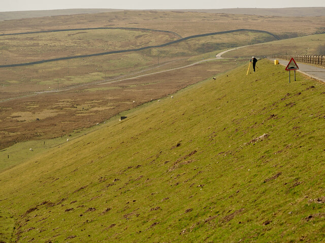
Kelton Bottom is a picturesque valley located in the county of Yorkshire, England. Nestled between rolling hills and meandering rivers, this rural area offers stunning natural beauty and a tranquil atmosphere.
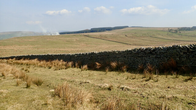
The valley is characterized by its lush green landscapes, dotted with vibrant wildflowers during the spring and summer months. The surrounding hills provide a breathtaking backdrop, with their rocky outcrops and dense woodlands adding to the valley's charm. The River Kelton flows through the bottom, adding to the scenic beauty and offering opportunities for fishing and boating.
Kelton Bottom is home to a diverse range of wildlife, making it a haven for nature enthusiasts. Birdwatchers can spot a variety of species, including kingfishers, herons, and various waterfowl. The surrounding woodlands are inhabited by deer, foxes, and other woodland creatures, adding to the area's natural allure.
The valley is also steeped in history, with traces of ancient settlements and landmarks scattered throughout. Ruins of old mills and farmhouses can be found, serving as a reminder of the area's agricultural heritage.
Kelton Bottom offers a range of outdoor activities for visitors to enjoy. Hiking and cycling trails crisscross the valley, providing opportunities to explore the area's scenic beauty. There are also picnic areas and camping sites for those seeking a peaceful retreat.
Overall, Kelton Bottom is a hidden gem in Yorkshire, offering a stunning natural landscape, rich wildlife, and a peaceful ambiance, making it an ideal destination for nature lovers and those seeking a break from the hustle and bustle of city life.
If you have any feedback on the listing, please let us know in the comments section below.
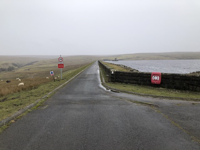
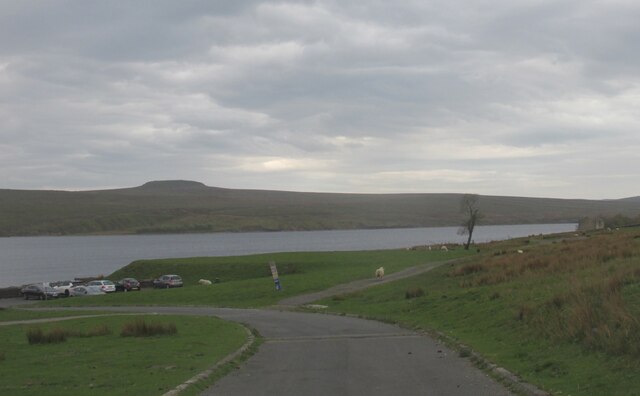
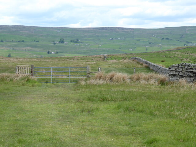
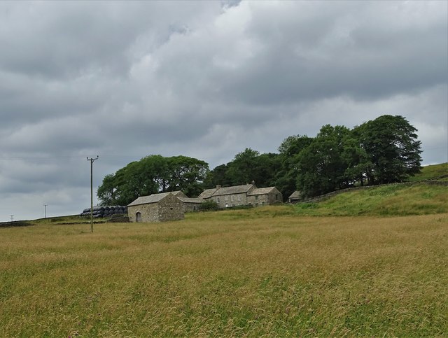
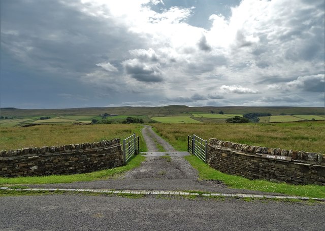
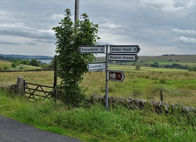
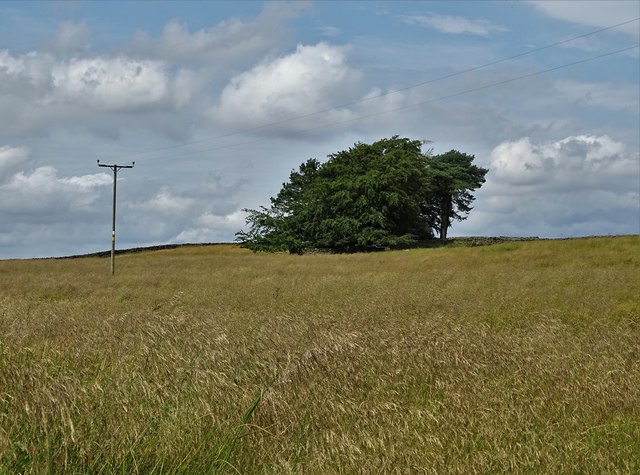
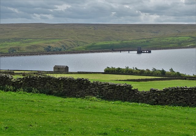
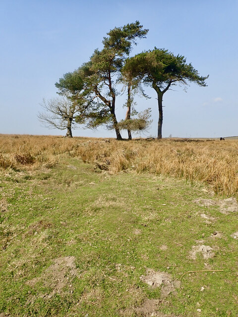
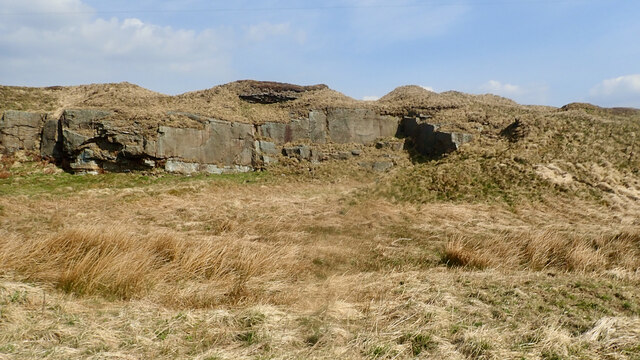
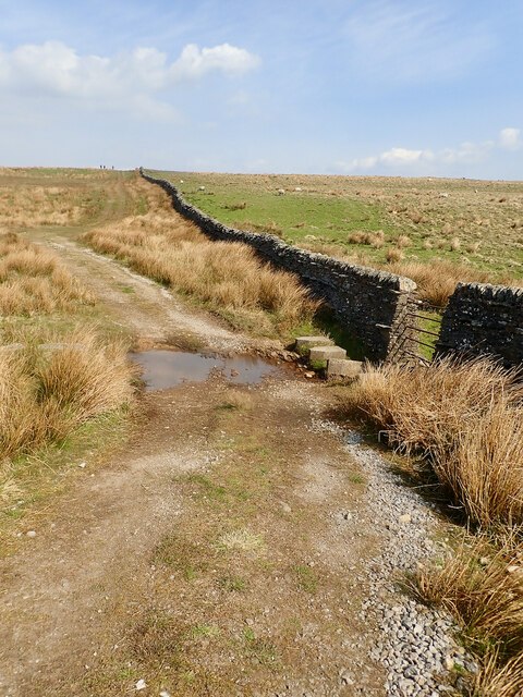
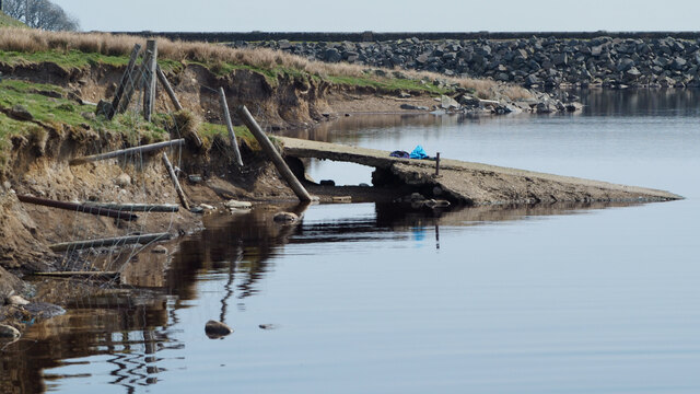
Kelton Bottom Images
Images are sourced within 2km of 54.578935/-2.1127019 or Grid Reference NY9220. Thanks to Geograph Open Source API. All images are credited.


Kelton Bottom is located at Grid Ref: NY9220 (Lat: 54.578935, Lng: -2.1127019)
Division: North Riding
Unitary Authority: County Durham
Police Authority: Durham
What 3 Words
///livid.soon.habits. Near Mickleton, Co. Durham
Nearby Locations
Related Wikis

Grassholme
Grassholme is a village in County Durham, England.For centuries it lay within the historic county boundaries of the North Riding of Yorkshire, but, along...

Selset Reservoir
Selset Reservoir is a reservoir in County Durham, England. It is situated in Lunedale which is a side valley of the River Tees, about 5 miles (8 km) west...
Hury
Hury is a village in Baldersdale, in the Pennines of England. It is located in the historic North Riding of Yorkshire. Along with the rest of the former...

Hannah's Meadows
Hannah's Meadows is a Site of Special Scientific Interest in the Teesdale district of south-west County Durham, England. It consists of three fields,...
Nearby Amenities
Located within 500m of 54.578935,-2.1127019Have you been to Kelton Bottom?
Leave your review of Kelton Bottom below (or comments, questions and feedback).