Kelton

Settlement in Yorkshire

England

Kelton
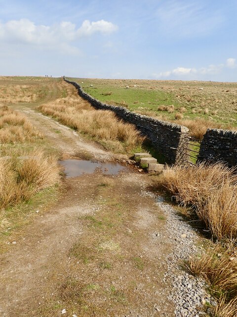
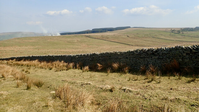
The Pennine Way near Hazelgarth Rigg
The Pennine Way near Hazelgarth Rigg Credit: Dave Kelly

The requested URL returned error: 429 Too Many Requests

If you have any feedback on the listing, please let us know in the comments section below.

Kelton Images

Images are sourced within 2km of 54.581512/-2.12122 or Grid Reference NY9220. Thanks to Geograph Open Source API. All images are credited.
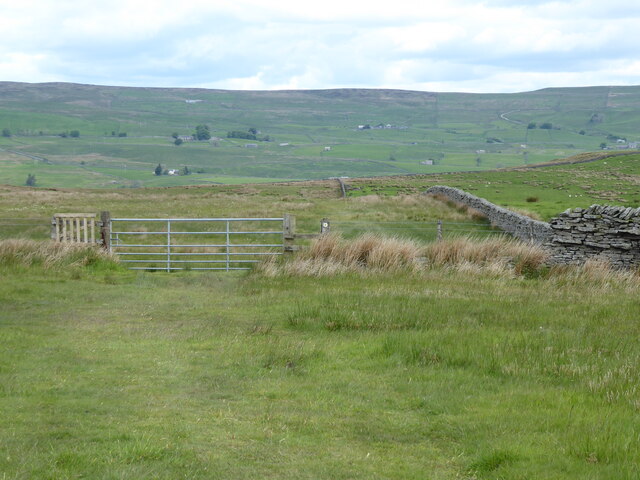
The Pennine Way near Hazelgarth Rigg
Rokehole Sike
Rokehole Sike
Fields north of West Carnigill Farm On Hunderthwaite Moor near Balderhead Reservoir
Fields north of West Carnigill Farm
On Hunderthwaite Moor near Balderhead Reservoir
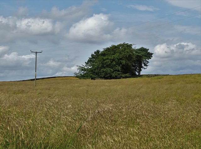
Small stand of trees on Hunder Side
Calves clustering round a telegraph pole At West Hunder near Primrose Hill
Calves clustering round a telegraph pole
At West Hunder near Primrose Hill
White goat at Sleetburn Farm With Balderhead Reservoir beyond
White goat at Sleetburn Farm
With Balderhead Reservoir beyond
Kelton Hill
Kelton Hill
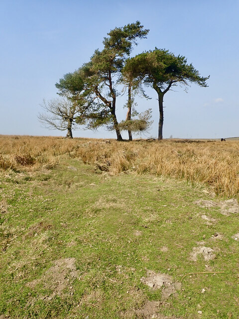
4 Trees
4 Trees
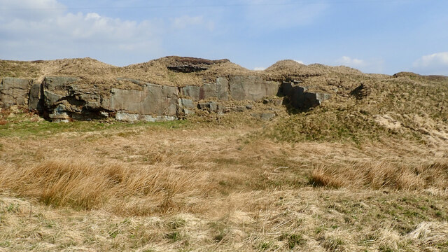
East Hunder quarry
East Hunder quarry
Hunder Sike
Hunder Sike
Hazelgarth Rigg
Hazelgarth Rigg
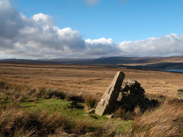
Wall end with 'gatepost' north-west of Kelton Hill The 'gatepost' has been cut with slots into which the ends of lengths of timber would be slotted; they would engage similarly on another stone post providing a means of opening and closing a 'gateway' without the need to construct and hang an actual gate. Lunedale with Little Fell, Mickle Fell and Bink Moss lie beyond the grassy moorland and Selset Reservoir.
Wall end with 'gatepost' north-west of Kelton Hill
The 'gatepost' has been cut with slots into which the ends of lengths of timber would be slotted; they would engage similarly on another stone post providing a means of opening and closing a 'gateway' without the need to construct and hang an actual gate. Lunedale with Little Fell, Mickle Fell and Bink Moss lie beyond the grassy moorland and Selset Reservoir.
Moorland descending to Lune valley with hills beyond A view over the Lune valley from the minor moorland rise of Wellrigg Currack. The snowed mountain is Mickle Fell.
Moorland descending to Lune valley with hills beyond
A view over the Lune valley from the minor moorland rise of Wellrigg Currack. The snowed mountain is Mickle Fell.
Minor road crossing between Lunedale and Baldersdale The view is towards Baldersdale with the road passing through marginal farmland. Goldsborough, a minor hill surrounded by low cragginess lies on the skyline above the trees.
Minor road crossing between Lunedale and Baldersdale
The view is towards Baldersdale with the road passing through marginal farmland. Goldsborough, a minor hill surrounded by low cragginess lies on the skyline above the trees.
Entrance for road to Balderhead Reservoir
Young plantation near Black Sike Tuley tubes protect the young saplings. Balderhead Reservoir beyond.
Young plantation near Black Sike
Tuley tubes protect the young saplings. Balderhead Reservoir beyond.
Old lime kiln On the hillside overlooking the Balderhead Reservoir.
Old lime kiln
On the hillside overlooking the Balderhead Reservoir.
Barn and bales at Sleetburn Farm
Show me another place!

Kelton is located at Grid Ref: NY9220 (Lat: 54.581512, Lng: -2.12122)

Division: North Riding

Unitary Authority: County Durham

Police Authority: Durham

What 3 Words

///coder.talking.jetliner. Near Mickleton, Co. Durham

Nearby Locations

Kelton Kelton Bottom

Related Wikis

Selset Reservoir

Selset Reservoir is a reservoir in County Durham, England. It is situated in Lunedale which is a side valley of the River Tees, about 5 miles (8 km) west...

Grassholme

Grassholme is a village in County Durham, England.For centuries it lay within the historic county boundaries of the North Riding of Yorkshire, but, along...

Rigg Farm and Stake Hill Meadows

Rigg Farm and Stake Hill Meadows is a Site of Special Scientific Interest in the Teesdale district of County Durham, England. It is situated in Lunedale...

Hury

Hury is a village in Baldersdale, in the Pennines of England. It is located in the historic North Riding of Yorkshire. Along with the rest of the former...

Nearby Amenities

Located within 500m of 54.581512,-2.12122
Kelton
Place: hamlet
Source: NPE
Lat/Long: 54.5789904/-2.1249287
Turning Circle
Lat/Long: 54.5810443/-2.1268845
Power: pole
Transformer: distribution
Lat/Long: 54.5812768/-2.1172071
Power: pole
Lat/Long: 54.580739/-2.1182652
Power: pole
Lat/Long: 54.5836473/-2.1209367
Power: pole
Lat/Long: 54.5830154/-2.1205638
Power: pole
Lat/Long: 54.5823672/-2.1201977
Power: pole
Lat/Long: 54.5816382/-2.1197981
Power: pole
Lat/Long: 54.5809721/-2.1194306
Power: pole
Lat/Long: 54.5803239/-2.1190725
Hunter House Farm
Fhrs Id: 1251341
Tourism: guest_house
Website: http://www.hunterhousefarm.com/welcome
Lat/Long: 54.5813429/-2.117891
The data included in this document is from www.openstreetmap.org. The data is made available under ODbL.

Have you been to Kelton?

Leave your review of Kelton below (or comments, questions and feedback).