Tollard Green Bottom

Valley in Dorset

England

Tollard Green Bottom

Farm track, Ashmore Arable land on a chalk dip slope.
Farm track, Ashmore Credit: Richard Webb

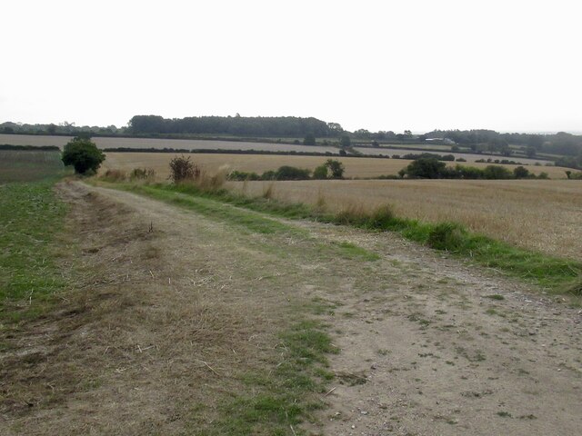
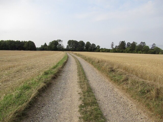
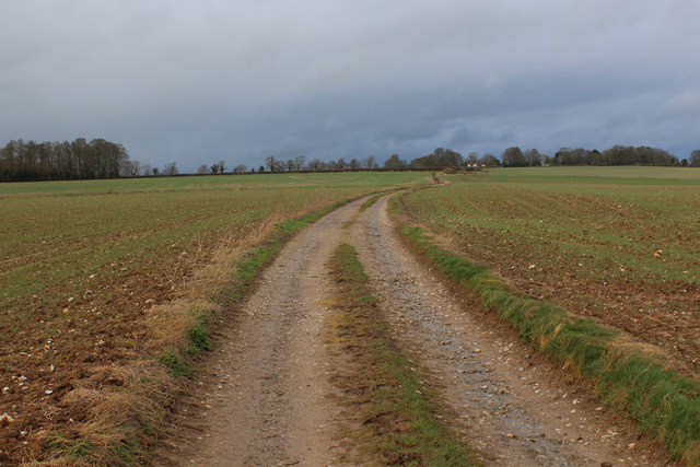
Tollard Green Bottom is a picturesque valley located in the county of Dorset, England. Situated near the village of Tollard, the valley is nestled within the beautiful landscape of the Cranborne Chase Area of Outstanding Natural Beauty.

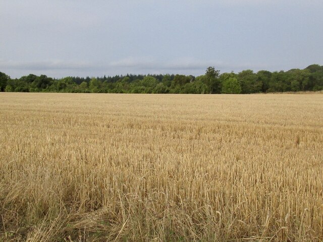
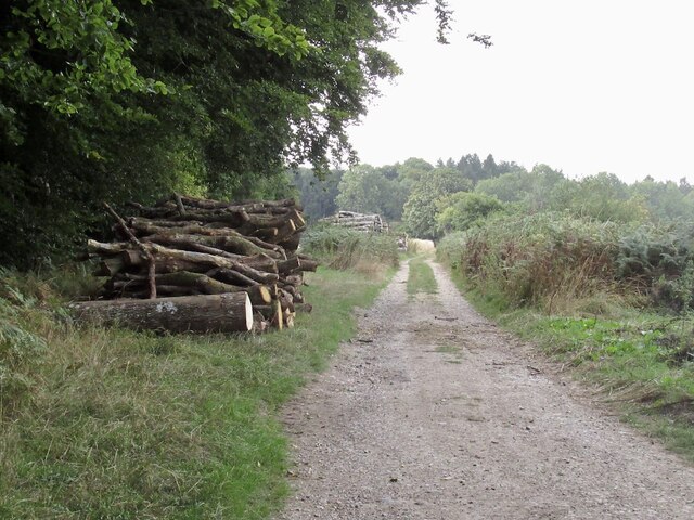
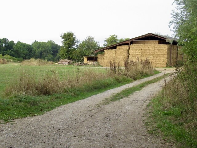
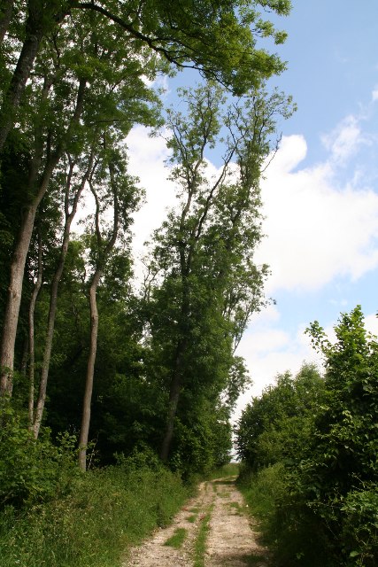
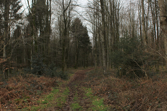
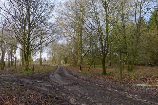
This idyllic countryside setting is characterized by rolling hills, lush green meadows, and dense woodlands. The valley is traversed by a small, meandering stream that adds to the charm and natural beauty of the area. The stream is flanked by picturesque trees and wildflowers, creating a serene and tranquil atmosphere.

Tollard Green Bottom is renowned for its rich biodiversity and serves as a haven for wildlife. The valley is home to various species of birds, including songbirds and raptors, which can often be spotted soaring above the treetops. Additionally, small mammals such as rabbits, foxes, and badgers can be found roaming the area.

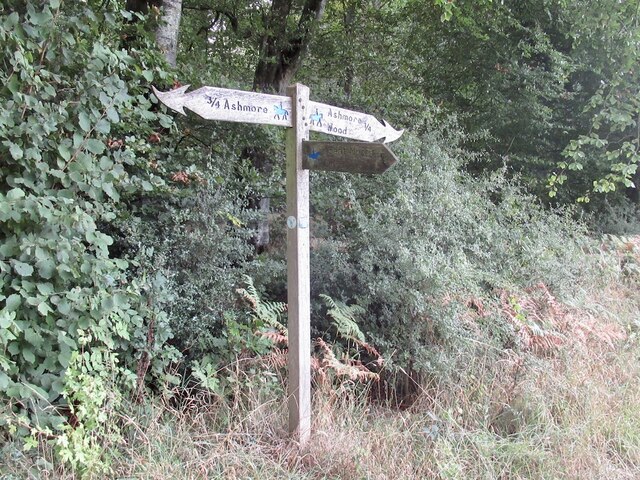
The valley offers numerous recreational opportunities for nature enthusiasts and outdoor enthusiasts alike. Visitors can enjoy walking or cycling along the well-maintained trails that wind through the valley, allowing them to immerse themselves in the stunning natural surroundings. The valley also provides an ideal spot for picnics, with several designated areas offering scenic views and peaceful settings.

Overall, Tollard Green Bottom is a hidden gem in Dorset, offering visitors a chance to escape the hustle and bustle of everyday life and reconnect with nature in a truly breathtaking setting.

If you have any feedback on the listing, please let us know in the comments section below.

Tollard Green Bottom Images

Images are sourced within 2km of 50.94304/-2.1061866 or Grid Reference ST9215. Thanks to Geograph Open Source API. All images are credited.

Farm track, Ashmore Arable land on a chalk dip slope.
Farm track, Ashmore
Arable land on a chalk dip slope.
Halfpenny Lane A very enjoyable chalk track under a big sky.
Halfpenny Lane
A very enjoyable chalk track under a big sky.
Stubble off Halfpenny Lane
Dorset path sign After the plain, and often absent Wiltshire signage, the flamboyant Dorset ones were quite a surprise.  Dorset suffers less from the horrible ableist English path restrictions than most places and is a great place to visit if you cannot backpack on foot anymore. There is always a feeling of having saved yourself a ferry fare, and the beer's better than further south.
Dorset path sign
After the plain, and often absent Wiltshire signage, the flamboyant Dorset ones were quite a surprise. Dorset suffers less from the horrible ableist English path restrictions than most places and is a great place to visit if you cannot backpack on foot anymore. There is always a feeling of having saved yourself a ferry fare, and the beer's better than further south.
Halfpenny Lane, south of Ashmore
Farm road near Ashmore Leads into a forest off Halfpenny Lane.
Farm road near Ashmore
Leads into a forest off Halfpenny Lane.
Ashmore Wood from the byway from Ashmore
Bridleway to Ashmore Wood and footpath to Great Morris Close
Footpath from Great Morris Close
Wessex Ridgeway along the Edge of Ashmore Wood Pleasant, but rather muddy section of the long distance footpath between Iwerne Courtney and Ashmore
Wessex Ridgeway along the Edge of Ashmore Wood
Pleasant, but rather muddy section of the long distance footpath between Iwerne Courtney and Ashmore
Wessex Ridgeway emerging from Ashmore Wood Heading north along Halfpenny Lane towards the village of Ashmore
Wessex Ridgeway emerging from Ashmore Wood
Heading north along Halfpenny Lane towards the village of Ashmore
Wessex Ridgeway in Ashmore Wood Heavily churned and muddy route through these woods, proving difficult to negotiate.
Wessex Ridgeway in Ashmore Wood
Heavily churned and muddy route through these woods, proving difficult to negotiate.
Wessex Ridgeway heading North towards Ashmore The Wessex Ridgeway is a 136-mile long-distance footpath which runs from Marlborough in Wiltshire to Lyme Regis in Dorset. It was opened in 1994. 

Wikipedia entry: <span class="nowrap"><a title="https://en.wikipedia.org/wiki/Wessex_Ridgeway" rel="nofollow ugc noopener" href="https://en.wikipedia.org/wiki/Wessex_Ridgeway">Link</a><img style="margin-left:2px;" alt="External link" title="External link - shift click to open in new window" src="https://s1.geograph.org.uk/img/external.png" width="10" height="10"/></span>
Wessex Ridgeway heading North towards Ashmore
The Wessex Ridgeway is a 136-mile long-distance footpath which runs from Marlborough in Wiltshire to Lyme Regis in Dorset. It was opened in 1994. Wikipedia entry: LinkExternal link
Track heading off Halfpenny Lane Country to the south of Ashmore
Track heading off Halfpenny Lane
Country to the south of Ashmore
Halfpenny Lane Halfpenny Lane adopted by the Wessex Ridgeway long distance footpath heading north towards Ashmore
Halfpenny Lane
Halfpenny Lane adopted by the Wessex Ridgeway long distance footpath heading north towards Ashmore
Bridleway junction, Ashmore Wood The Wessex Ridgeway path leaving Ashmore Wood, straight ahead, on a track which becomes Halfpenny Lane
Bridleway junction, Ashmore Wood
The Wessex Ridgeway path leaving Ashmore Wood, straight ahead, on a track which becomes Halfpenny Lane
The Wessex Ridgeway path north of Ashmore Wood
The northern edge of Ashmore Wood Debris from recent gales on the ground
The northern edge of Ashmore Wood
Debris from recent gales on the ground
Show me another place!

Tollard Green Bottom is located at Grid Ref: ST9215 (Lat: 50.94304, Lng: -2.1061866)

Unitary Authority: Dorset

Police Authority: Dorset

What 3 Words

///dangerously.conceals.unable. Near Pimperne, Dorset

Related Wikis

Larmer Tree Festival

Larmer Tree Festival was a three-day music, comedy and arts festival held annually from 1990 until 2019 at the Larmer Tree Gardens, near Tollard Royal...

Larmer Tree Gardens

The Larmer Tree Gardens near Tollard Royal in south Wiltshire, England, were created by landowner Augustus Pitt Rivers in 1880 as pleasure grounds for...

Ashmore

Ashmore is a village and civil parish in the North Dorset district of Dorset, England, 20 miles (32 kilometres) southwest of Salisbury. The village is...

King John's House, Tollard Royal

King John's House is a former manor house in the south Wiltshire village of Tollard Royal, England. Just south of the church, the building has at its core...

Nearby Amenities

Located within 500m of 50.94304,-2.1061866
Material: wood
Power: pole
Source: bing
Lat/Long: 50.9421465/-2.1101461
Material: wood
Power: pole
Source: bing
Lat/Long: 50.943147/-2.1095641
Material: wood
Power: pole
Source: bing
Lat/Long: 50.9440698/-2.1103714
The data included in this document is from www.openstreetmap.org. The data is made available under ODbL.

Have you been to Tollard Green Bottom?

Leave your review of Tollard Green Bottom below (or comments, questions and feedback).