Barton's Clough
Valley in Cheshire
England
Barton's Clough
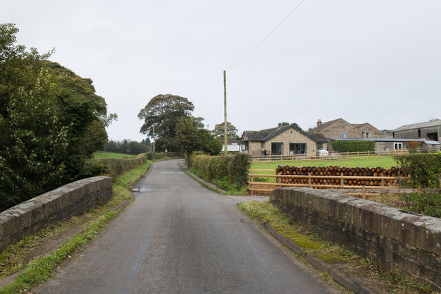
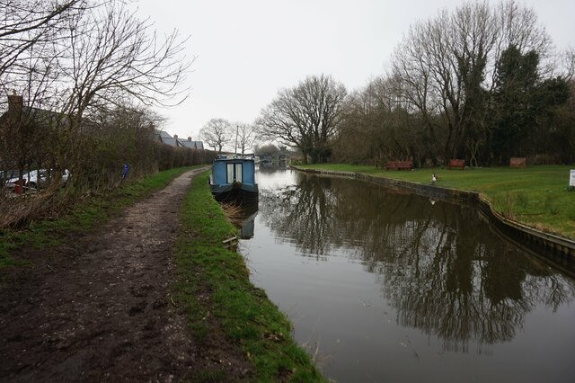
Barton's Clough, located in Cheshire, England, is a picturesque valley that is known for its natural beauty and tranquil atmosphere. Situated in the eastern part of Cheshire, Barton's Clough is surrounded by lush green meadows, rolling hills, and dense woodlands, making it a popular destination for nature enthusiasts and hikers.
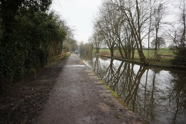
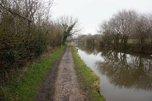
The valley is named after the Barton's Brook, a small stream that flows through the heart of the clough. The brook is fed by several natural springs, creating a serene and peaceful environment. Visitors can enjoy the soothing sound of running water as they explore the area.
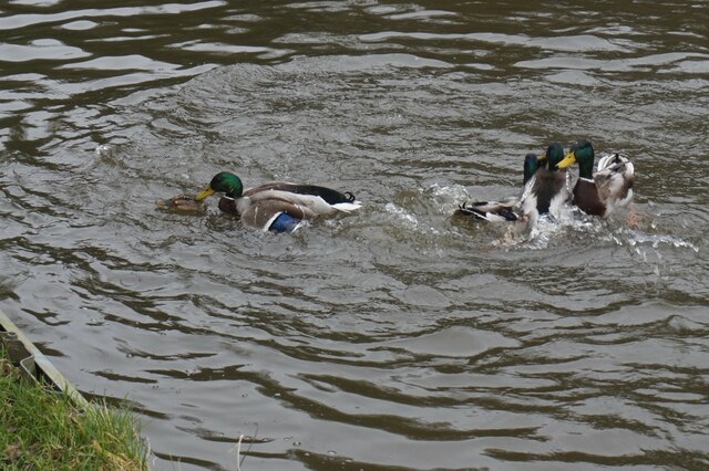
Barton's Clough is home to a diverse range of flora and fauna. The woodlands are filled with ancient oak and beech trees, providing shelter for various bird species and small mammals. Wildflowers such as bluebells and primroses bloom in abundance during the spring, adding vibrant colors to the landscape.
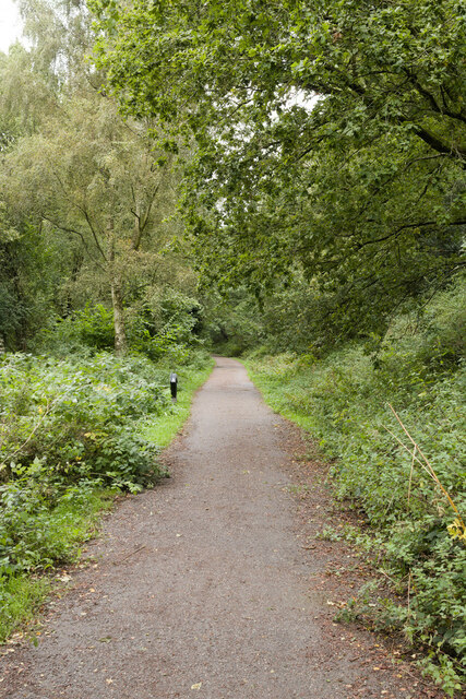
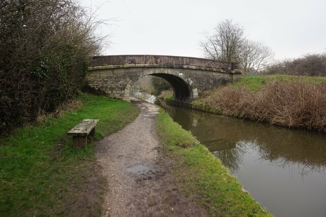
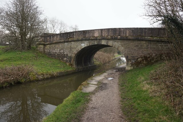
The valley also offers several walking trails and footpaths, allowing visitors to explore the area at their own pace. These trails provide breathtaking views of the surrounding countryside and are suitable for both casual strolls and more challenging hikes.
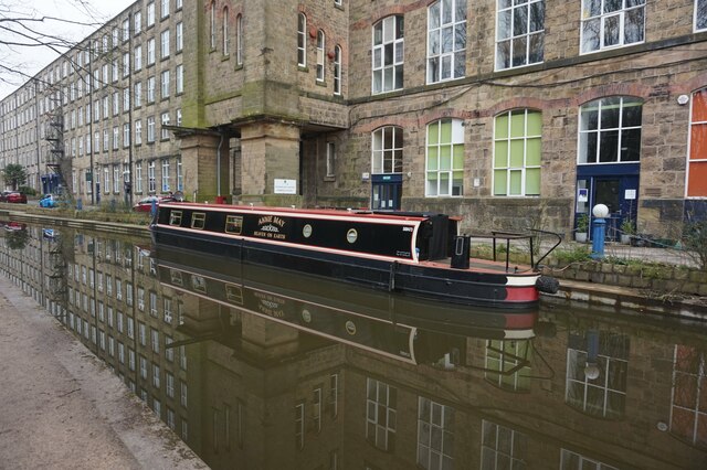
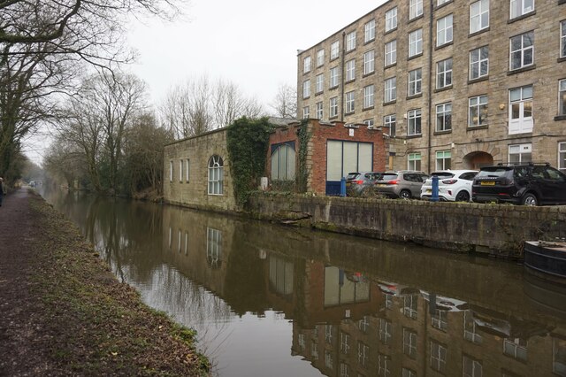
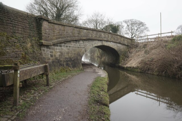
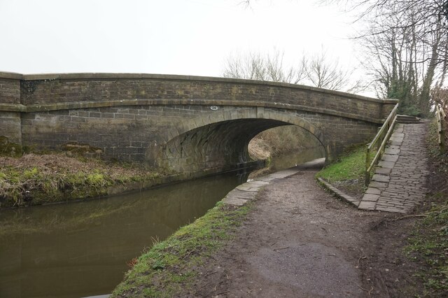
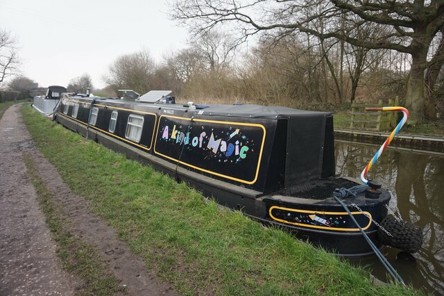
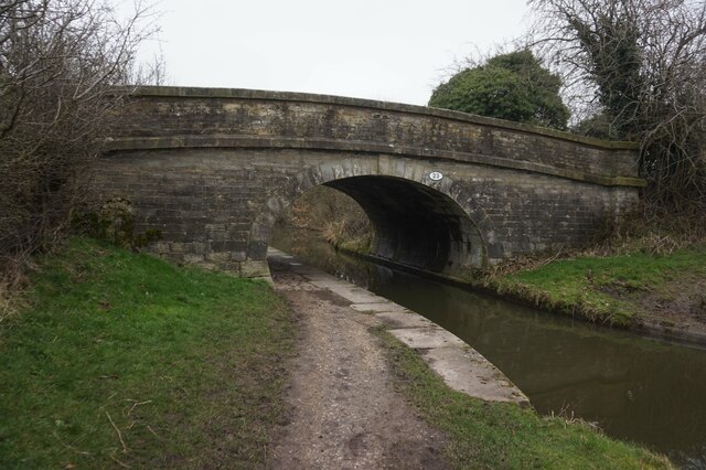
In addition to its natural beauty, Barton's Clough has historical significance as well. The area is dotted with remnants of old mills and cottages, showcasing the valley's industrial past.
Overall, Barton's Clough is a hidden gem in Cheshire, offering a peaceful retreat from the hustle and bustle of everyday life. Whether it's for a leisurely walk, birdwatching, or simply enjoying the tranquility of nature, this valley is a must-visit destination.
If you have any feedback on the listing, please let us know in the comments section below.
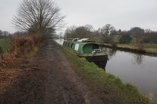
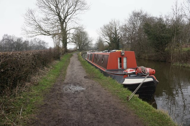
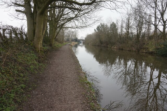
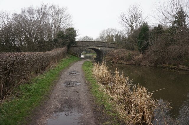
Barton's Clough Images
Images are sourced within 2km of 53.316716/-2.1119235 or Grid Reference SJ9279. Thanks to Geograph Open Source API. All images are credited.
Barton's Clough is located at Grid Ref: SJ9279 (Lat: 53.316716, Lng: -2.1119235)
Unitary Authority: Cheshire East
Police Authority: Cheshire
What 3 Words
///collapsed.digested.spades. Near Adlington, Cheshire
Nearby Locations
Related Wikis

Macclesfield (UK Parliament constituency)
Macclesfield is a constituency in Cheshire currently represented in the House of Commons of the UK Parliament since 2010 by David Rutley, a Conservative...
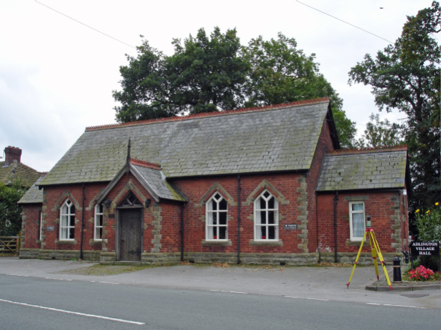
Adlington, Cheshire
Adlington is a village and civil parish in the unitary authority of Cheshire East and the ceremonial county of Cheshire, England. It is known as Eduluintune...

Adlington railway station (Cheshire)
Adlington (Cheshire) railway station serves the village of Adlington in Cheshire, England. It was staffed for many years but is now unstaffed. The station...

Shrigley Hall
Shrigley Hall is a former country house standing to the northwest of the village of Pott Shrigley, Cheshire, England. It has since been used as a school...
Nearby Amenities
Located within 500m of 53.316716,-2.1119235Have you been to Barton's Clough?
Leave your review of Barton's Clough below (or comments, questions and feedback).