Red Cleugh

Valley in Northumberland

England

Red Cleugh

Summit of Bloodybush Edge This triangulation pillar marks the 610 metre top of this the sixth highest of the Cheviot Hills. For a selection of detailed free to download walking routes in the area visit <span class="nowrap"><a title="www.cheviotwalks.co.uk" rel="nofollow ugc noopener" href="http://www.cheviotwalks.co.uk">Link</a><img style="margin-left:2px;" alt="External link" title="External link - shift click to open in new window" src="https://s1.geograph.org.uk/img/external.png" width="10" height="10"/></span>
Summit of Bloodybush Edge Credit: Geoff Holland

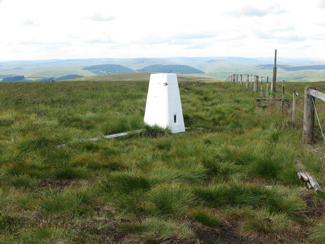
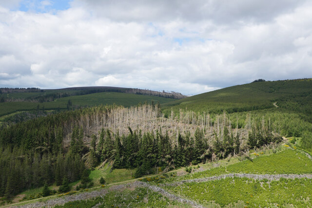
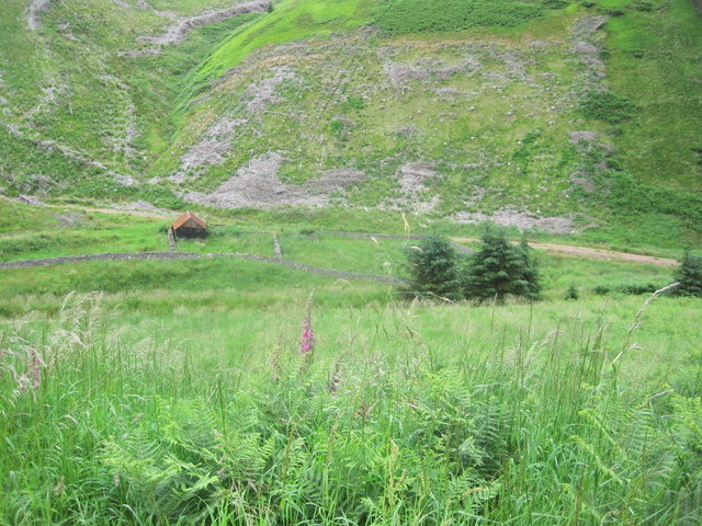
Red Cleugh is a small valley located in the county of Northumberland, England. Nestled within the picturesque North Pennines, it is a designated Area of Outstanding Natural Beauty. The valley is situated near the village of Allenheads and is surrounded by rolling hills and moorland, creating a tranquil and serene atmosphere.

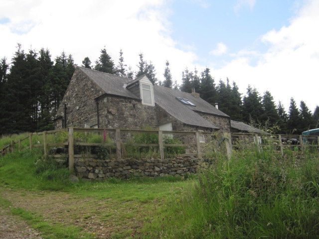
The name "Red Cleugh" is derived from the red hue of the soil found in the area, which is a result of the iron-rich deposits that are common in the region. This has led to the valley being historically associated with mining activities, particularly lead mining, which thrived in the 18th and 19th centuries. Remnants of this mining heritage can still be seen in the form of old mine shafts and buildings dotted throughout the valley.

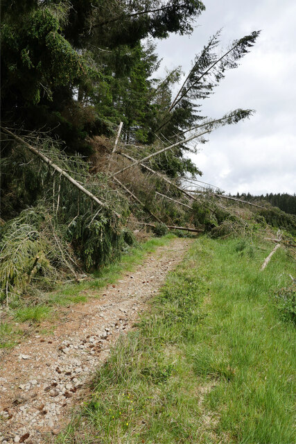
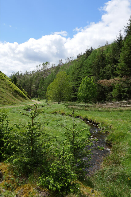
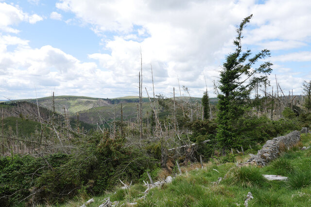
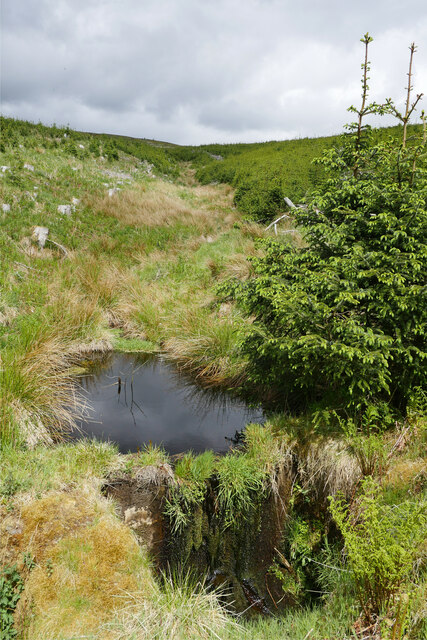
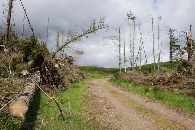
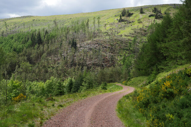
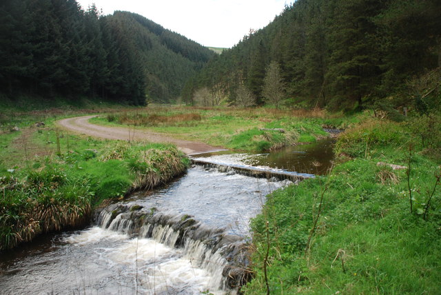
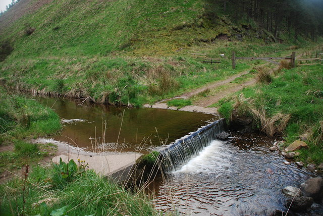
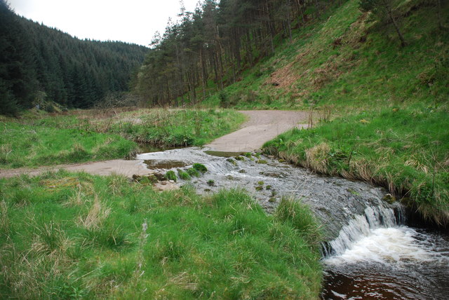
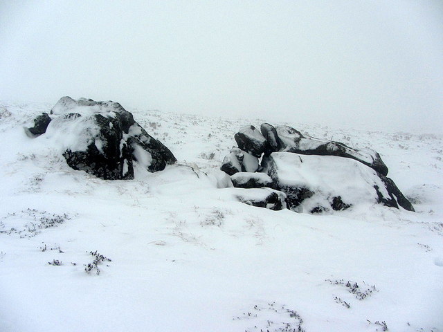
The landscape of Red Cleugh is characterized by its lush greenery, dotted with heather and wildflowers during the summer months. The valley is crisscrossed by several small streams and rivers, including the River Allen, which meanders through the heart of the valley, providing a source of water for local wildlife.

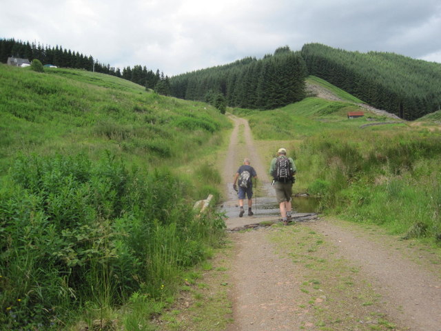
Red Cleugh offers numerous opportunities for outdoor activities such as hiking, cycling, and birdwatching. The valley is home to a variety of wildlife, including red grouse, curlews, and lapwings, making it a haven for nature enthusiasts.

Overall, Red Cleugh is a hidden gem in Northumberland, offering visitors a chance to immerse themselves in the natural beauty and rich history of the region.

If you have any feedback on the listing, please let us know in the comments section below.
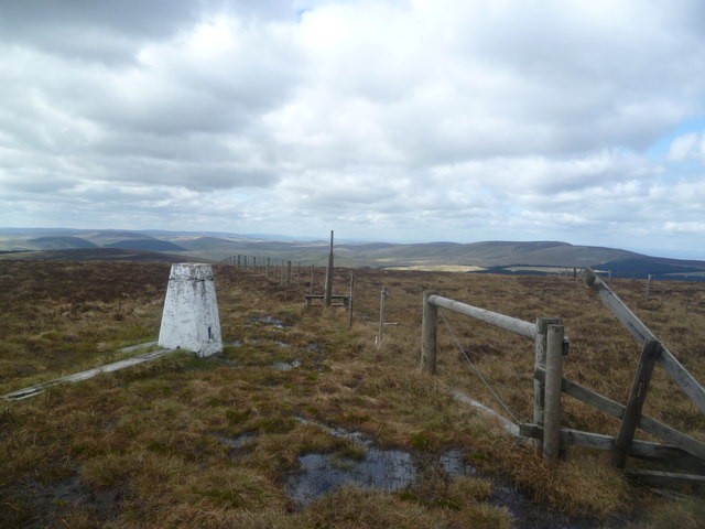
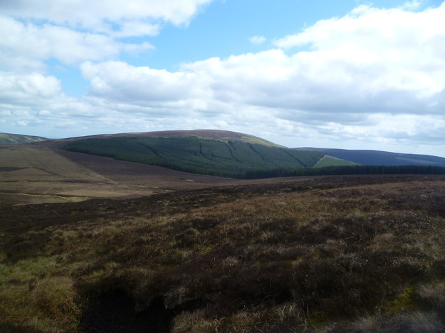
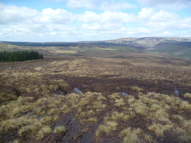
Red Cleugh Images

Images are sourced within 2km of 55.406755/-2.1421352 or Grid Reference NT9112. Thanks to Geograph Open Source API. All images are credited.

Summit of Bloodybush Edge This triangulation pillar marks the 610 metre top of this the sixth highest of the Cheviot Hills. For a selection of detailed free to download walking routes in the area visit <span class="nowrap"><a title="www.cheviotwalks.co.uk" rel="nofollow ugc noopener" href="http://www.cheviotwalks.co.uk">Link</a><img style="margin-left:2px;" alt="External link" title="External link - shift click to open in new window" src="https://s1.geograph.org.uk/img/external.png" width="10" height="10"/></span>
Summit of Bloodybush Edge
This triangulation pillar marks the 610 metre top of this the sixth highest of the Cheviot Hills. For a selection of detailed free to download walking routes in the area visit LinkExternal link
A blocked forestry track above Sting Burn Dating from Storm Arwen (26/27 November 2021), this section of little-used forestry track north-east of Memmer Kirk was impassable on bike, and would be rather tricky on foot.

This photograph was taken during the Coronavirus (COVID-19) pandemic of 2020/21/22.
A blocked forestry track above Sting Burn
Dating from Storm Arwen (26/27 November 2021), this section of little-used forestry track north-east of Memmer Kirk was impassable on bike, and would be rather tricky on foot. This photograph was taken during the Coronavirus (COVID-19) pandemic of 2020/21/22.
The Yoke Burn in Kidland Forest Labelled as a ford on the 1:25k map, the Yoke Burn is now conveyed under the forestry track in a culvert.

This photograph was taken during the Coronavirus (COVID-19) pandemic of 2020/21/22.
The Yoke Burn in Kidland Forest
Labelled as a ford on the 1:25k map, the Yoke Burn is now conveyed under the forestry track in a culvert. This photograph was taken during the Coronavirus (COVID-19) pandemic of 2020/21/22.
Devastation on Dryhope Hill Storm Arwen (26/27 November 2021) has resulted in destruction of numerous areas within Kidland Forest.

This photograph was taken during the Coronavirus (COVID-19) pandemic of 2020/21/22.
Devastation on Dryhope Hill
Storm Arwen (26/27 November 2021) has resulted in destruction of numerous areas within Kidland Forest. This photograph was taken during the Coronavirus (COVID-19) pandemic of 2020/21/22.
Illuminating the destruction A patch of glorious sunlight illuminates an area of Kidland Forest badly damaged by Storm Arwen (26/27 November 2021).  Earlier, I had tried to bike up the track shown here, only to be stopped by the many trees blocking my way.

This photograph was taken during the Coronavirus (COVID-19) pandemic of 2020/21/22.
Illuminating the destruction
A patch of glorious sunlight illuminates an area of Kidland Forest badly damaged by Storm Arwen (26/27 November 2021). Earlier, I had tried to bike up the track shown here, only to be stopped by the many trees blocking my way. This photograph was taken during the Coronavirus (COVID-19) pandemic of 2020/21/22.
A small dam on the Sting Burn This small dam was beside the forestry track near Sting Head, perhaps to regulate the flow of water and prevent damage to the embankment of the track under which the burn passes?

This photograph was taken during the Coronavirus (COVID-19) pandemic of 2020/21/22.
A small dam on the Sting Burn
This small dam was beside the forestry track near Sting Head, perhaps to regulate the flow of water and prevent damage to the embankment of the track under which the burn passes? This photograph was taken during the Coronavirus (COVID-19) pandemic of 2020/21/22.
Storm Arwen's destruction near Sting Head Yet more evidence of the destruction caused in Kidland Forest by Storm Arwen (26/27 November 2021).

This photograph was taken during the Coronavirus (COVID-19) pandemic of 2020/21/22.
Storm Arwen's destruction near Sting Head
Yet more evidence of the destruction caused in Kidland Forest by Storm Arwen (26/27 November 2021). This photograph was taken during the Coronavirus (COVID-19) pandemic of 2020/21/22.
A track between Meadow Sike and Milkhope Heading back down to the valley floor track after a cycle to Sting Head.  Storm Arwen (26/27 November 2021) has resulted in destruction of numerous areas within Kidland Forest as seen on the hillside in the background.

This photograph was taken during the Coronavirus (COVID-19) pandemic of 2020/21/22.
A track between Meadow Sike and Milkhope
Heading back down to the valley floor track after a cycle to Sting Head. Storm Arwen (26/27 November 2021) has resulted in destruction of numerous areas within Kidland Forest as seen on the hillside in the background. This photograph was taken during the Coronavirus (COVID-19) pandemic of 2020/21/22.
Trig Pillar, Bloodybush Edge Named after of a battle between the old enemies in the 1500's. Apparently the English won this one.
Trig Pillar, Bloodybush Edge
Named after of a battle between the old enemies in the 1500's. Apparently the English won this one.
Descending Bloodybush Edge Looking towards Cushat Law beyond the forest
Descending Bloodybush Edge
Looking towards Cushat Law beyond the forest
Ascending Cushat Law The fellside here churned up by illegal off road moterbikers
Ascending Cushat Law
The fellside here churned up by illegal off road moterbikers
Ford on the White Burn This is the fifth of the nine White Burn fords on the Forestry Commission road leading up to Whiteburnshank.
Ford on the White Burn
This is the fifth of the nine White Burn fords on the Forestry Commission road leading up to Whiteburnshank.
Ford on the Lindhope Burn This ford on the Lindhope Burn, at the point at which it joins the White Burn, is the sixth of the nine White Burn fords on the Forestry Commission road up to Whiteburnshank.
Ford on the Lindhope Burn
This ford on the Lindhope Burn, at the point at which it joins the White Burn, is the sixth of the nine White Burn fords on the Forestry Commission road up to Whiteburnshank.
Ford on the White Burn This ford is the seventh of the White Burn fords on the Forestry Commission road up to Whiteburnshank.
Ford on the White Burn
This ford is the seventh of the White Burn fords on the Forestry Commission road up to Whiteburnshank.
Shivering Stone, Bloodybush Edge Brrrrrrr!

There is a photo of the Shivering Stone in better weather here <a href="https://www.geograph.org.uk/photo/1307559">NT9014 : The view southwards from the Shivering Stone</a>. Today I was just glad to find it.

This is one of the 'Named Stones of Northumberland' <span class="nowrap"><a title="http://heddonhistory.weebly.com/blog/the-named-stones-of-northumberland-revisited" rel="nofollow ugc noopener" href="http://heddonhistory.weebly.com/blog/the-named-stones-of-northumberland-revisited">Link</a><img style="margin-left:2px;" alt="External link" title="External link - shift click to open in new window" src="https://s1.geograph.org.uk/img/external.png" width="10" height="10"/></span>

The Shivering Stone, like the Hanging Stone (near Cheviot) and the Leaping Stones (north of Kielder) all carry a notion of movement; the broken rocks appearing to tumble down hill. Outcropping of the volcanic andesite in this part of the Cheviot Hills is not particularly common as it is mainly covered by a deep quarternary peat deposit.
Shivering Stone, Bloodybush Edge
Brrrrrrr! There is a photo of the Shivering Stone in better weather here NT9014 : The view southwards from the Shivering Stone. Today I was just glad to find it. This is one of the 'Named Stones of Northumberland' LinkExternal link The Shivering Stone, like the Hanging Stone (near Cheviot) and the Leaping Stones (north of Kielder) all carry a notion of movement; the broken rocks appearing to tumble down hill. Outcropping of the volcanic andesite in this part of the Cheviot Hills is not particularly common as it is mainly covered by a deep quarternary peat deposit.
Ford through White Burn Whiteburnshank in the distance
Ford through White Burn
Whiteburnshank in the distance
Temporary Shepherds Hut in the Valley of the East Burn
Whiteburnshank Outdoor Centre Whiteburnshank is an old shepherd’s cottage located in the heart of Kidland Forest in the Northumberland National Park 8 kms from Alwinton in a secluded hillside location accessed by forest tracks.
Available 365 days a year, the cottage is ideal for groups or organisations wanting to organise their own outdoor activities and pursuits. Scouts, guides, D of E, school groups, bona fide organisations and families wishing to get away from it all can book by the night for any length of stay. We do not operate a seasonal booking tariff.
<span class="nowrap"><a title="http://www.whiteburnshank.org.uk/" rel="nofollow ugc noopener" href="http://www.whiteburnshank.org.uk/">Link</a><img style="margin-left:2px;" alt="External link" title="External link - shift click to open in new window" src="https://s1.geograph.org.uk/img/external.png" width="10" height="10"/></span>
Whiteburnshank Outdoor Centre
Whiteburnshank is an old shepherd’s cottage located in the heart of Kidland Forest in the Northumberland National Park 8 kms from Alwinton in a secluded hillside location accessed by forest tracks. Available 365 days a year, the cottage is ideal for groups or organisations wanting to organise their own outdoor activities and pursuits. Scouts, guides, D of E, school groups, bona fide organisations and families wishing to get away from it all can book by the night for any length of stay. We do not operate a seasonal booking tariff. LinkExternal link
Show me another place!

Red Cleugh is located at Grid Ref: NT9112 (Lat: 55.406755, Lng: -2.1421352)

Unitary Authority: Northumberland

Police Authority: Northumbria

What 3 Words

///storage.spillage.coherent. Near Whittingham, Northumberland

Nearby Locations

Red Cleugh

Related Wikis

Kidland

Kidland is a former civil parish, now in the parish of Alwinton in Northumberland, England, about 2 miles (3 km) northwest of Alwinton village. In 1951...

Barrow Burn Meadows

Barrow Burn Meadows is a Site of Special Scientific Interest (SSSI) in north Northumberland, England. The site is a species-rich hay meadow of a sort now...

Shillhope Law

Shillhope Law is a hill in the southern Cheviots, a range of hills in Northumberland, England. Shillhope Law is a relatively unremarkable member of this...

Barrow Burn

Barrowburn is a hamlet in Upper Coquetdale in the county of Northumberland, England. It comprises a working farm with associated buildings and two holiday...

Nearby Amenities

Located within 500m of 55.406755,-2.1421352
Wether Hill
Place: locality
Lat/Long: 55.4063641/-2.1464258
The data included in this document is from www.openstreetmap.org. The data is made available under ODbL.

Have you been to Red Cleugh?

Leave your review of Red Cleugh below (or comments, questions and feedback).