Redwater Clough
Valley in Lancashire
England
Redwater Clough
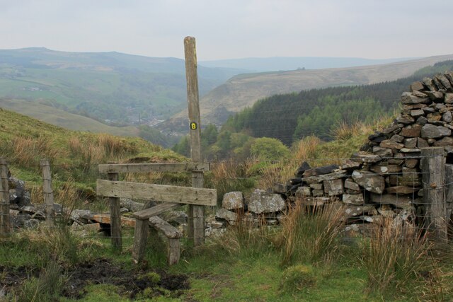
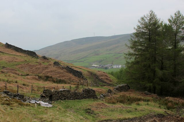
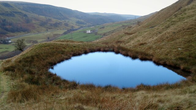
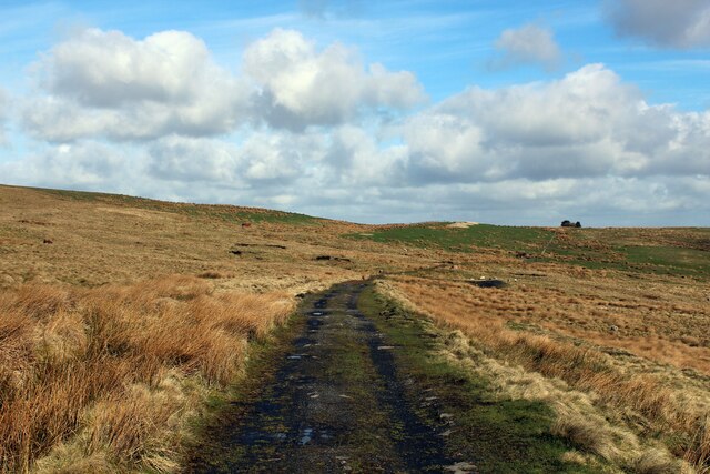
Redwater Clough is a picturesque valley located in the county of Lancashire, England. Nestled within the beautiful countryside, this tranquil spot has become a popular destination for nature enthusiasts and outdoor adventurers.
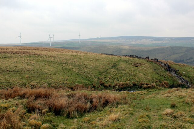
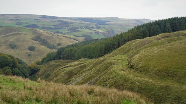
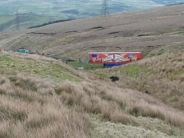
The clough is characterized by its lush greenery, rolling hills, and meandering stream that runs through the heart of the valley. The stream, known as Redwater Brook, is a prominent feature of the landscape and adds to the charm of the area. It is said that the name "Redwater" originates from the reddish color of the water, possibly due to the iron-rich soil in the region.
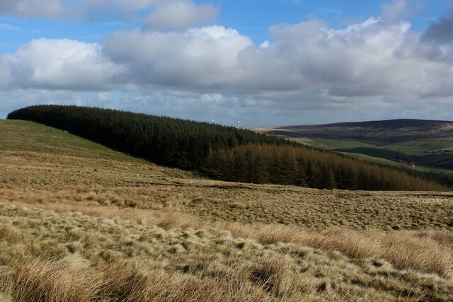
The valley is home to a diverse range of flora and fauna, making it a haven for wildlife. Visitors can expect to encounter various species of birds, small mammals, and even rare plants. The rich biodiversity of Redwater Clough provides ample opportunities for nature walks, birdwatching, and photography.
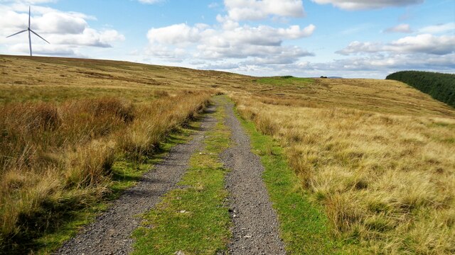
For those seeking outdoor adventures, the clough offers a network of well-maintained walking trails that cater to all levels of fitness and ability. These trails provide stunning views of the surrounding countryside and are perfect for a leisurely stroll or a more challenging hike.
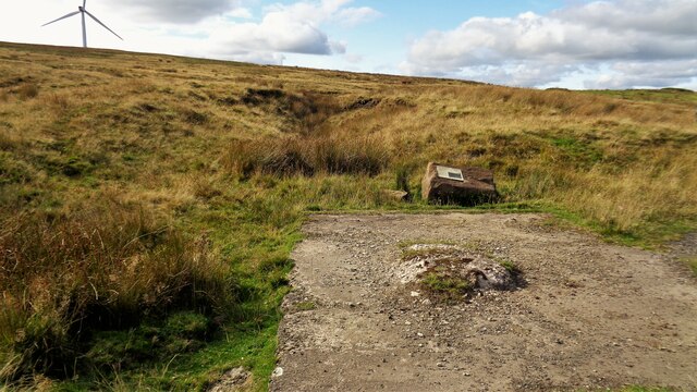
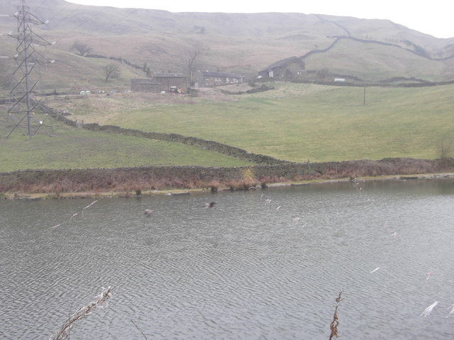
Redwater Clough is also steeped in history, with evidence of ancient settlements and farming activities dating back centuries. Ruins of old buildings and stone walls can still be seen, adding an element of intrigue and historical significance to the area.
Overall, Redwater Clough is a hidden gem in Lancashire, offering visitors a chance to escape the hustle and bustle of city life and immerse themselves in the beauty of nature. Whether it's for a peaceful walk, wildlife spotting, or simply to enjoy the stunning scenery, this valley has something to offer everyone.
If you have any feedback on the listing, please let us know in the comments section below.
Redwater Clough Images
Images are sourced within 2km of 53.736496/-2.1409774 or Grid Reference SD9026. Thanks to Geograph Open Source API. All images are credited.


Redwater Clough is located at Grid Ref: SD9026 (Lat: 53.736496, Lng: -2.1409774)
Unitary Authority: Calderdale
Police Authority: West Yorkshire
What 3 Words
///budgeted.laptop.officers. Near Cornholme, West Yorkshire
Nearby Locations
Related Wikis

Pudsey, Calderdale
Pudsey is a neighbourhood in the village of Cornholme, Calderdale, West Yorkshire, England. It is near the town of Todmorden and the A646 Burnley Road...

Cornholme
Cornholme is a village near Todmorden, in the metropolitan borough of Calderdale, in West Yorkshire, England. It lies at the edge of Calderdale, on the...

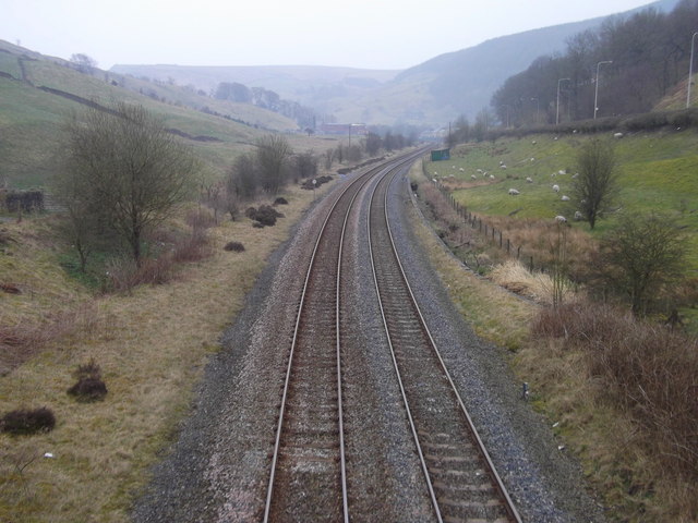
Cornholme railway station
Cornholme railway station served the village of Cornholme in West Yorkshire, England on the Copy Pit line. The station was opened by the Lancashire and...

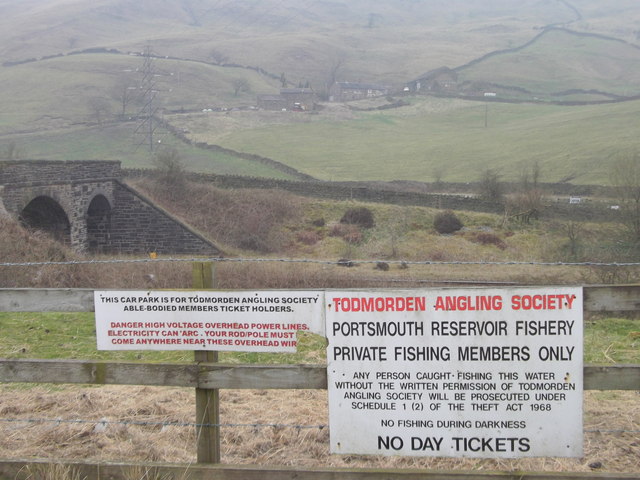
Portsmouth (Lancs) railway station
Portsmouth railway station was on the Copy Pit line and served the village of Portsmouth, which was part of Lancashire, before being incorporated into...

Portsmouth, West Yorkshire
Portsmouth is a village on the A646 road in the Calderdale district, in the county of West Yorkshire, England. Nearby settlements include the towns of...

Coal Clough Wind Farm
Coal Clough Wind Farm is one of the oldest onshore wind farms in England. The wind farm, which was built for Scottish Power, produced electricity from...
Hill Top Colliery
The Hill Top Colliery in Sharneyford between Bacup and Todmorden was, until 2014, the last coal mine still in operation in Lancashire. == Foundation... ==
Todmorden High School
Todmorden High School is a comprehensive school in the town of Todmorden, Calderdale LEA, West Yorkshire, England. == Admissions == Todmorden High School...
Nearby Amenities
Located within 500m of 53.736496,-2.1409774Have you been to Redwater Clough?
Leave your review of Redwater Clough below (or comments, questions and feedback).