Fox Clough

Valley in Lancashire Pendle

England

Fox Clough

New Market Street, Colne A street mostly of terraced houses with Colne Town Hall at the far end
New Market Street, Colne Credit: Eirian Evans

Fox Clough is a picturesque valley located in Lancashire, England. Situated in the heart of the Rossendale Valley, it is known for its stunning natural beauty and tranquil surroundings. The valley is surrounded by lush green hills and is crisscrossed by a meandering stream, adding to its charm.

Fox Clough offers a range of outdoor activities for nature enthusiasts and hikers. It is home to several well-maintained walking trails, which allow visitors to explore the valley and its surroundings at their own pace. The trails offer breathtaking views of the surrounding countryside, with opportunities to spot wildlife such as birds, rabbits, and deer.

The valley is also renowned for its diverse flora, with an abundance of wildflowers, including bluebells and primroses, that carpet the meadows during springtime. This makes Fox Clough a popular spot for nature photographers and those seeking a peaceful retreat.

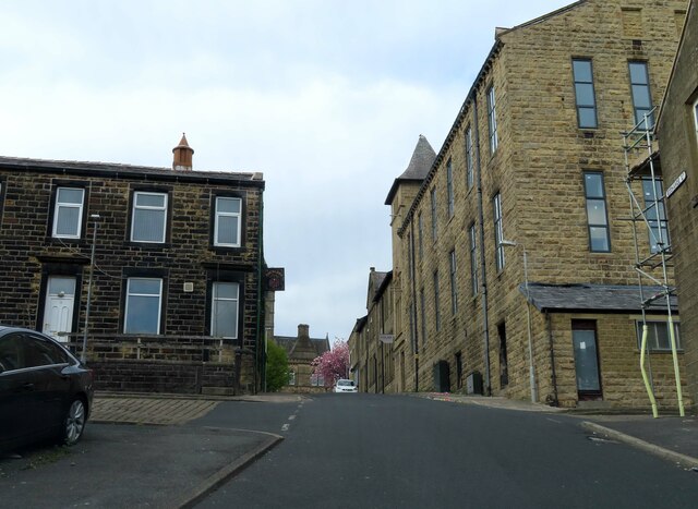
In addition to its natural beauty, Fox Clough boasts a rich history. It is home to a number of historical landmarks, including the ruins of an old mill and a quaint stone bridge dating back to the 18th century. These remnants serve as a reminder of the area's industrial past, when mills and factories were a prominent feature of the landscape.

Fox Clough is a hidden gem nestled within Lancashire's countryside, offering visitors a chance to escape the hustle and bustle of city life and immerse themselves in the tranquility of nature. Whether you are a nature lover, history enthusiast, or simply seeking a peaceful retreat, Fox Clough has something to offer for everyone.

If you have any feedback on the listing, please let us know in the comments section below.
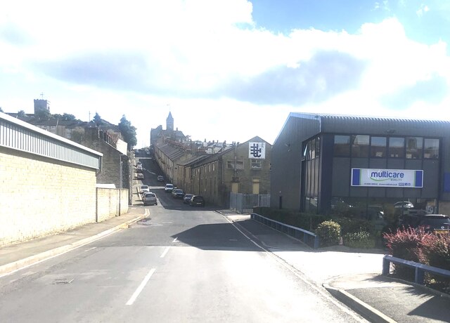
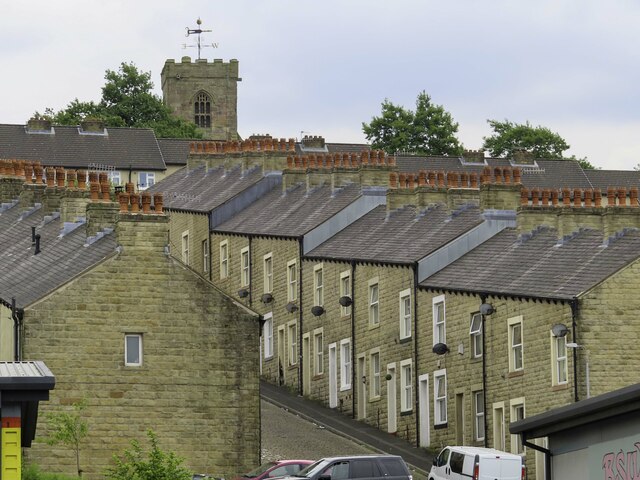
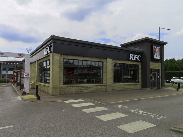
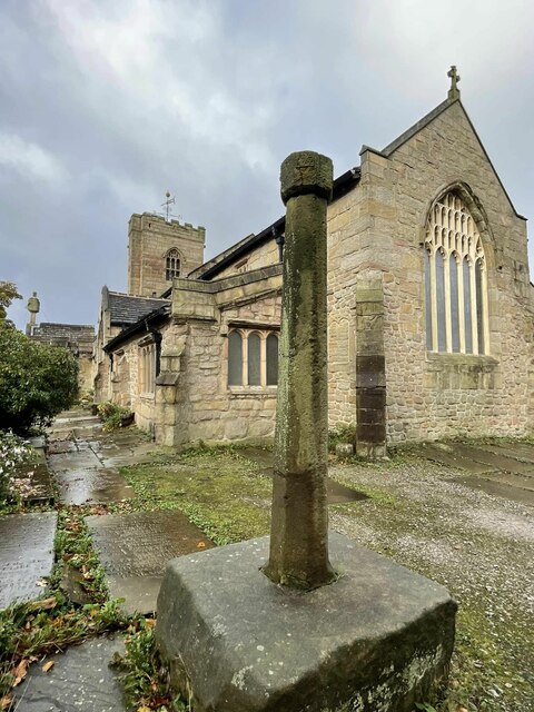
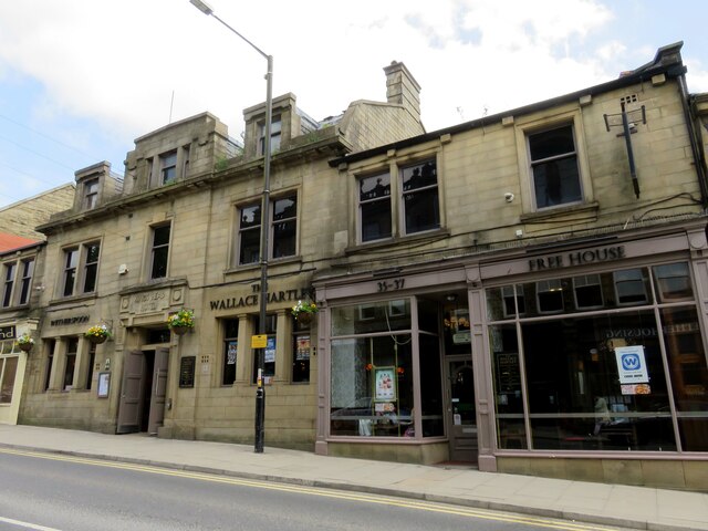
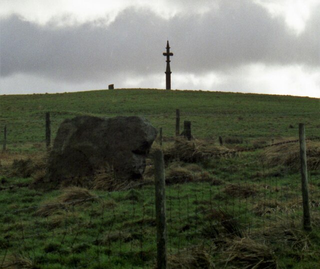
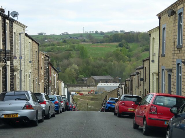
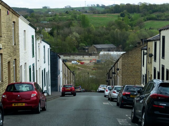
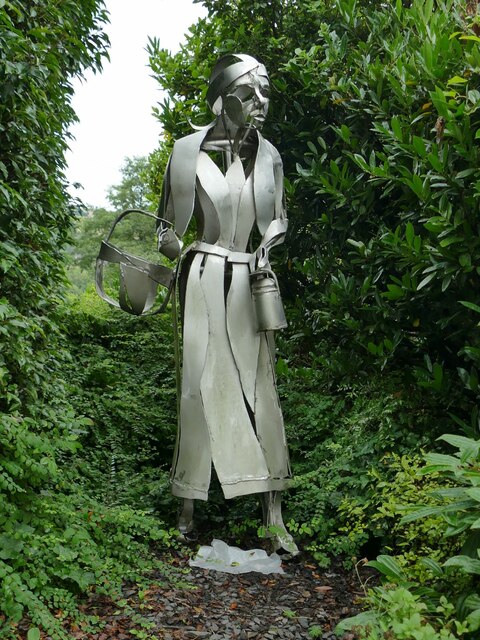
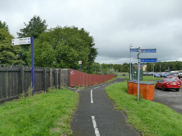
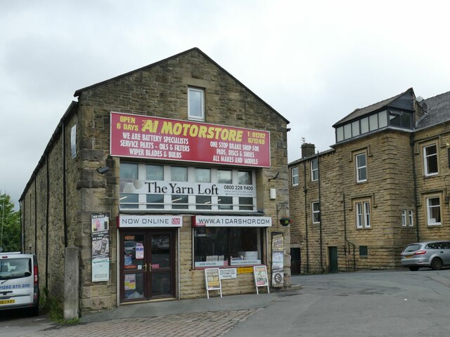
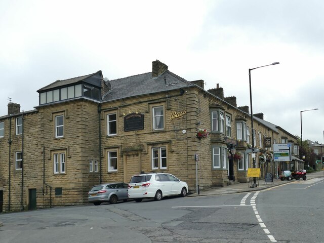
Fox Clough Images

Images are sourced within 2km of 53.844319/-2.1602623 or Grid Reference SD8938. Thanks to Geograph Open Source API. All images are credited.

New Market Street, Colne A street mostly of terraced houses with Colne Town Hall at the far end
New Market Street, Colne
A street mostly of terraced houses with Colne Town Hall at the far end
Mason Street in Colne
KFC in Colne
KFC in Colne
Old Cross in St Bartholomew churchyard, Colne Emmott Cross or Touch Cross, the old shaft and base of a cross. Set in the southeast corner of the churchyard between the east end of St Bartholomew's church and the Sunday School in Colne parish. Moved here in 1967. This is reported in a Historic England Research Record <span class="nowrap"><a title="https://www.heritagegateway.org.uk/Gateway/Results_Single.aspx?uid=c45c9853-c791-41ea-876d-36874e1f820d&resourceID=19191" rel="nofollow ugc noopener" href="https://www.heritagegateway.org.uk/Gateway/Results_Single.aspx?uid=c45c9853-c791-41ea-876d-36874e1f820d&resourceID=19191">Link</a><img style="margin-left:2px;" alt="External link" title="External link - shift click to open in new window" src="https://s1.geograph.org.uk/img/external.png" width="10" height="10"/></span> as a former central cross from the junction of Windy Bank and Colne Lane or from Market Street, both about SD890401. It is also reported in The Northern Antiquarian <span class="nowrap"><a title="https://megalithix.wordpress.com/2011/03/27/emmott-cross-colne/" rel="nofollow ugc noopener" href="https://megalithix.wordpress.com/2011/03/27/emmott-cross-colne/">Link</a><img style="margin-left:2px;" alt="External link" title="External link - shift click to open in new window" src="https://s1.geograph.org.uk/img/external.png" width="10" height="10"/></span> as a former wayside cross from Emmott Hall, Laneshaw Bridge, about SD927404 or beside the Laneshaw Bridge to Haworth Road over Herders Common. Grade II Listed <span class="nowrap"><a title="https://historicengland.org.uk/listing/the-list/list-entry/1243158" rel="nofollow ugc noopener" href="https://historicengland.org.uk/listing/the-list/list-entry/1243158">Link</a><img style="margin-left:2px;" alt="External link" title="External link - shift click to open in new window" src="https://s1.geograph.org.uk/img/external.png" width="10" height="10"/></span>. 

Milestone Society National ID: LAPD_COL02
Old Cross in St Bartholomew churchyard, Colne
Emmott Cross or Touch Cross, the old shaft and base of a cross. Set in the southeast corner of the churchyard between the east end of St Bartholomew's church and the Sunday School in Colne parish. Moved here in 1967. This is reported in a Historic England Research Record LinkExternal link as a former central cross from the junction of Windy Bank and Colne Lane or from Market Street, both about SD890401. It is also reported in The Northern Antiquarian LinkExternal link as a former wayside cross from Emmott Hall, Laneshaw Bridge, about SD927404 or beside the Laneshaw Bridge to Haworth Road over Herders Common. Grade II Listed LinkExternal link. Milestone Society National ID: LAPD_COL02
The Wallace Hartley on Church Street The Wallace Hartley is a Wetherspoon pub. It is named after the band leader on the Titanic, who came from Colne.
The Wallace Hartley on Church Street
The Wallace Hartley is a Wetherspoon pub. It is named after the band leader on the Titanic, who came from Colne.
Anvil Stone and Walton's Monument in 1999 An ancient stone beneath a monument that uses another stone monolith
Anvil Stone and Walton's Monument in 1999
An ancient stone beneath a monument that uses another stone monolith
Duke Street in Colne
Exchange Street in Colne
Walton's Monument A pagan menhir converted to Christianity in 1835. The Walton family home was nearby Marsden Hall and the story was they did not want pagan symbols on their land
Walton's Monument
A pagan menhir converted to Christianity in 1835. The Walton family home was nearby Marsden Hall and the story was they did not want pagan symbols on their land
Sprinter at Colne station Unit 150102 waits at the single platform to form the 10.11 all-stations service to Preston.
Sprinter at Colne station
Unit 150102 waits at the single platform to form the 10.11 all-stations service to Preston.
End of the line at Colne From 1848 to 1970 trains ran between Colne and Skipton with three intermediate station at Earby, Thornton and Elslack and a branch to Barnoldswick. The track was removed several years ago and trains from Preston terminate here. As of 2022, a local action group SELRAP (Skipton and East Lancashire Rail Action Partnership) was proposing reinstating the 20km link with just one new station at Earby, offering through trains to Leeds.
End of the line at Colne
From 1848 to 1970 trains ran between Colne and Skipton with three intermediate station at Earby, Thornton and Elslack and a branch to Barnoldswick. The track was removed several years ago and trains from Preston terminate here. As of 2022, a local action group SELRAP (Skipton and East Lancashire Rail Action Partnership) was proposing reinstating the 20km link with just one new station at Earby, offering through trains to Leeds.
Colne station plaques The two blue plaques record that Colne was connected by rail to Skipton from 1848 to 1970 and to Burnley from 1849 to the present day.
Colne station plaques
The two blue plaques record that Colne was connected by rail to Skipton from 1848 to 1970 and to Burnley from 1849 to the present day.
Colne station sculpture The steel figure on the station forecourt representing a mill worker was made in 2007 but has got rather overgrown since photographed in 2008 <a href="https://www.geograph.org.uk/photo/666125">SD8839 : Steel Statue</a>.
Colne station sculpture
The steel figure on the station forecourt representing a mill worker was made in 2007 but has got rather overgrown since photographed in 2008 SD8839 : Steel Statue.
Cycle track past Colne station A route by foot or bicycle to Boundary Mill shopping centre and beyond. It is even signed to Hebden Bridge, about 20km away by a challenging moorland route.
Cycle track past Colne station
A route by foot or bicycle to Boundary Mill shopping centre and beyond. It is even signed to Hebden Bridge, about 20km away by a challenging moorland route.
The Yarn Loft and A1 Motorstore, Guy Syke, Colne I suspect that the customers who buy yarn are not also buying car parts, but that's sterotyping people.
The Yarn Loft and A1 Motorstore, Guy Syke, Colne
I suspect that the customers who buy yarn are not also buying car parts, but that's sterotyping people.
The Crown Hotel, Albert Road, Colne This would have been the station hotel. Note the Bass logo: the brand, but not the brewery, still exists.
The Crown Hotel, Albert Road, Colne
This would have been the station hotel. Note the Bass logo: the brand, but not the brewery, still exists.
Pendle Leisure Centre, Albert Road, Colne Built on part of the site of the original railway station, which is now reduced to a single platform.
Pendle Leisure Centre, Albert Road, Colne
Built on part of the site of the original railway station, which is now reduced to a single platform.
Show me another place!

Fox Clough is located at Grid Ref: SD8938 (Lat: 53.844319, Lng: -2.1602623)

Administrative County: Lancashire

District: Pendle

Police Authority: Lancashire

What 3 Words

///dive.stews.twitching. Near Colne, Lancashire

Nearby Locations

Fox Clough

Related Wikis

Castercliff

Castercliff is an Iron Age multivallate hillfort situated close to the towns of Nelson and Colne in Lancashire, Northern England. It is located on a hilltop...

Trawden Forest

Trawden Forest is a civil parish in the Pendle district of Lancashire, England. It has a population of 2,765, and contains the village of Trawden (formerly...
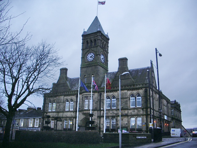
Colne Town Hall

Colne Town Hall is a municipal building in Albert Road, Colne, Lancashire, England. The town hall, which is the meeting place of Colne Town Council, is...

St Bartholomew's Church, Colne

St Bartholomew's Church is in the town of Colne in Lancashire, England. It is an active Anglican parish church in the Diocese of Blackburn. There has been...
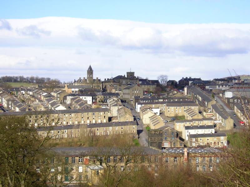
Colne

Colne () is a market town and civil parish in the Borough of Pendle in Lancashire, England. Located three miles (five kilometres) northeast of Nelson,...

Pendle Hippodrome Theatre

The Pendle Hippodrome Theatre is an volunteer-run theatre in Colne, Lancashire in the north of England. It is owned by the Pendle Hippodrome Theatre Company...

Cottontree and Winewall

Cottontree and Winewall are two hamlets situated in the civil parish of Trawden Forest in Pendle, Lancashire. They are adjacent to one other and located...

Ss John Fisher and Thomas More Roman Catholic High School

Ss John Fisher and Thomas More RC High School is a coeducational secondary school located in Colne in the English county of Lancashire. The school is named...

Nearby Amenities

Located within 500m of 53.844319,-2.1602623
Place: farm
Lat/Long: 53.8431116/-2.1668691
Power: pole
Lat/Long: 53.8450049/-2.1677785
Power: pole
Lat/Long: 53.8444202/-2.1675421
Power: pole
Lat/Long: 53.8436669/-2.1671602
The data included in this document is from www.openstreetmap.org. The data is made available under ODbL.

Have you been to Fox Clough?

Leave your review of Fox Clough below (or comments, questions and feedback).