Reaps Clough

Valley in Lancashire Rossendale

England

Reaps Clough

Weather-break Farmhouse Gable End Old House Farmhouse has a gable end designed to control the wind and protect the roof. Viewed from Market Street, Trough Gate.
Weather-break Farmhouse Gable End Credit: Kevin Waterhouse

Reaps Clough is a picturesque valley located in the county of Lancashire, England. Nestled within the rural landscape, this charming valley offers stunning natural beauty and a tranquil atmosphere that attracts visitors from near and far.

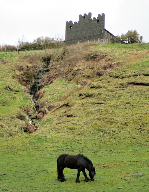
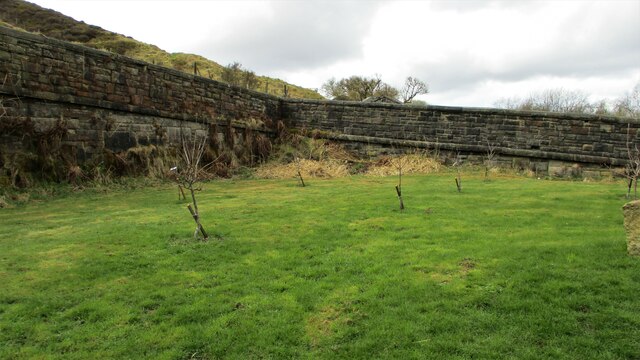
Situated near the town of Ramsbottom, Reaps Clough is known for its scenic views and diverse wildlife. The valley is characterized by rolling hills, lush green meadows, and a meandering river that adds to its allure. The area is also home to a variety of plant species, including wildflowers and trees, making it an ideal spot for nature enthusiasts and photographers alike.

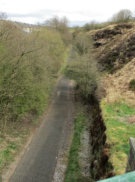
Reaps Clough is also renowned for its walking trails, which provide visitors with the opportunity to explore the valley and take in its breathtaking vistas. The trails range in difficulty, catering to both experienced hikers and casual walkers. As visitors traverse the paths, they may encounter local wildlife such as birds, rabbits, and occasionally, deer.

The valley is well-preserved and managed by the local authorities, ensuring that its natural beauty remains intact. The surrounding area also offers amenities such as picnic spots and parking facilities, making it a convenient destination for day trips and outdoor activities.

In summary, Reaps Clough is a hidden gem in Lancashire, offering a peaceful retreat from the bustling city life. With its stunning scenery, rich biodiversity, and well-maintained trails, it is a must-visit destination for nature lovers and those seeking serenity in a picturesque setting.

If you have any feedback on the listing, please let us know in the comments section below.
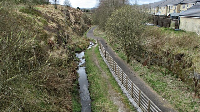
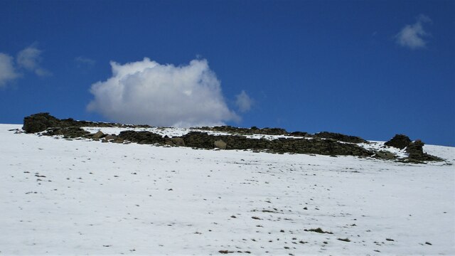
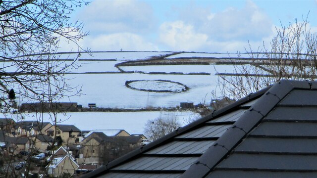
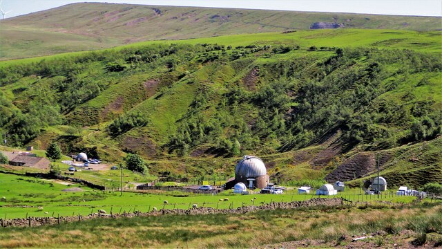
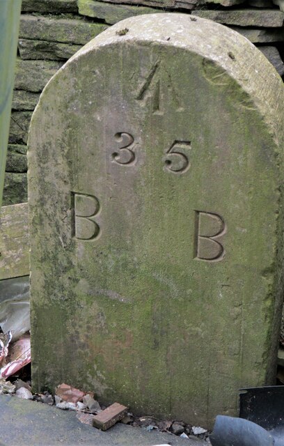
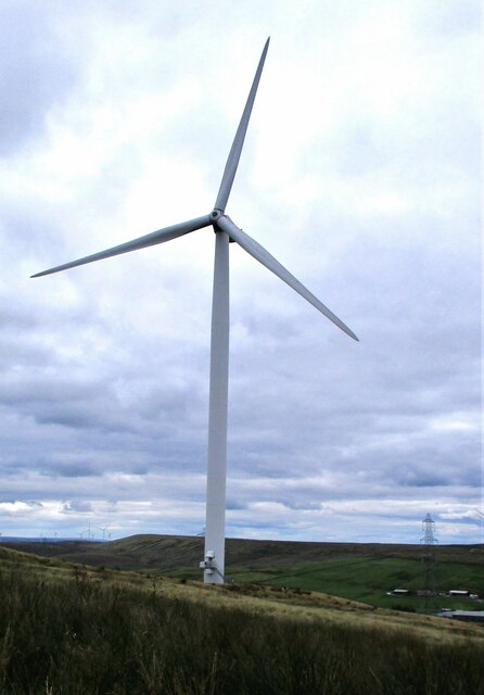
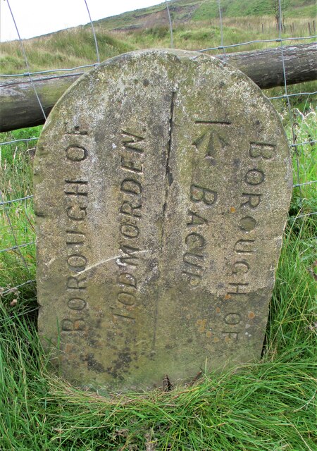
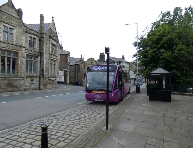
Reaps Clough Images

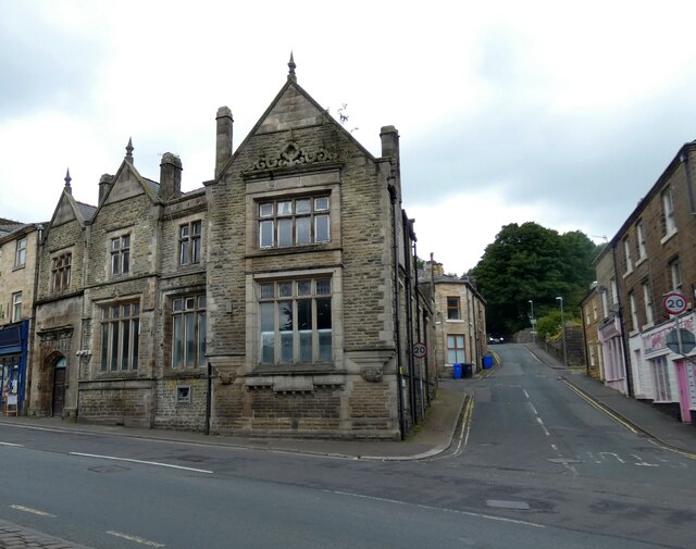
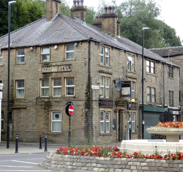
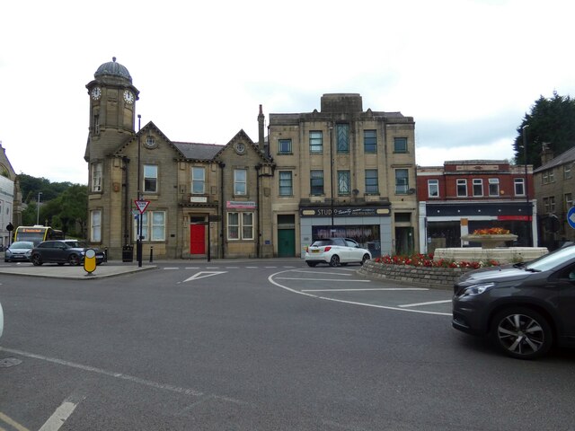
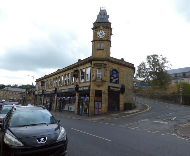
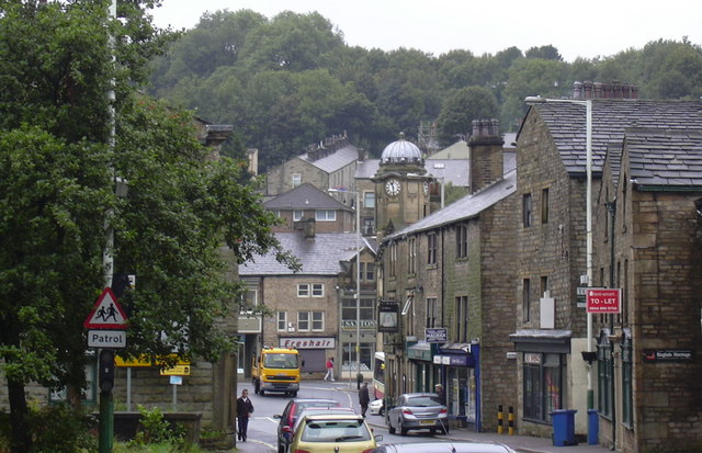
Images are sourced within 2km of 53.7051/-2.1756529 or Grid Reference SD8823. Thanks to Geograph Open Source API. All images are credited.

Weather-break Farmhouse Gable End Old House Farmhouse has a gable end designed to control the wind and protect the roof. Viewed from Market Street, Trough Gate.
Weather-break Farmhouse Gable End
Old House Farmhouse has a gable end designed to control the wind and protect the roof. Viewed from Market Street, Trough Gate.
Old Lane Railway Bridge, Trough Gate The arch of the former railway bridge and cutting have been completely filled with land fill and landscaped.
Old Lane Railway Bridge, Trough Gate
The arch of the former railway bridge and cutting have been completely filled with land fill and landscaped.
Boundary Stone at Trough Gate Car Park Stone has Whitworth on the visible face and Bacup on the other. It appears to be an ecclesiastical boundary between Salford and Blackburn.
Boundary Stone at Trough Gate Car Park
Stone has Whitworth on the visible face and Bacup on the other. It appears to be an ecclesiastical boundary between Salford and Blackburn.
Deansgreave Road Railway Bridge View of the bridge from the East around about the summit of the former Rochdale to Bacup railway. The now cyclepath falls away rapidily after the bridge.
Deansgreave Road Railway Bridge
View of the bridge from the East around about the summit of the former Rochdale to Bacup railway. The now cyclepath falls away rapidily after the bridge.
Former Trackbed of Rochdale to Bacup Railway View East from Lee Moor Colliery Incline Bridge along the now cycleway.
Former Trackbed of Rochdale to Bacup Railway
View East from Lee Moor Colliery Incline Bridge along the now cycleway.
Former Trackbed of Rochdale to Bacup Railway View West from Deansgreave Road railway bridge along the former trackbed now a cycleway.
Former Trackbed of Rochdale to Bacup Railway
View West from Deansgreave Road railway bridge along the former trackbed now a cycleway.
Pinfold remains near Cow Toot Farm A grade II listed structure.
Pinfold remains near Cow Toot Farm
A grade II listed structure.
Pinfold near Cow Toot Farm The pinfold is a prominent feature above Bacup and this view is from Bankside Lane
Pinfold near Cow Toot Farm
The pinfold is a prominent feature above Bacup and this view is from Bankside Lane
Astronomy Centre off Bacup Road The even skyline watershed extends to Freeholds Top in this view
Astronomy Centre off Bacup Road
The even skyline watershed extends to Freeholds Top in this view
Presumed Boundary Stone At Heald Top Farm
Presumed Boundary Stone
At Heald Top Farm
Wind Turbine on Todmorden Moor Viewed from Flower Scar Road
Wind Turbine on Todmorden Moor
Viewed from Flower Scar Road
Boundary Marker at Sharneyford At the side of the A681
Boundary Marker at Sharneyford
At the side of the A681
464 to Accrington 
Operated by Rossobus, the A464 is a service from Rochdale via Bacup, Rawtenstall and Haslingdon to Accrington. It runs at 15 minute intervals most of day, Monday to Saturdays and every half hour Sundays/Bank Holidays.
464 to Accrington
Operated by Rossobus, the A464 is a service from Rochdale via Bacup, Rawtenstall and Haslingdon to Accrington. It runs at 15 minute intervals most of day, Monday to Saturdays and every half hour Sundays/Bank Holidays.
Former NatWest Bank 
On the corner of Market Street and Bankside Lane. Although closed for several years now it still has an ATM in the wall.
Former NatWest Bank
On the corner of Market Street and Bankside Lane. Although closed for several years now it still has an ATM in the wall.
The Queens Also known as Little Queens.

<a href="https://www.geograph.org.uk/photo/7254745">SD8623 : Sign of The Queens</a>.
The Queens
Also known as Little Queens. SD8623 : Sign of The Queens.
Sign of The Queens Sign for The Queens <a href="https://www.geograph.org.uk/photo/7254743">SD8623 : The Queens</a>.
Sign of The Queens
Sign for The Queens SD8623 : The Queens.
St James Square 
The roundabout in the centre of town is where the A671 from Rochdale to Burnley meets the A681 from Rawtenstall to Todmorden. The building on the left was  originally the King George V pub. Now known as King George Chambers it is offices for an accountancy firm at the front and apartments at the rear. The Art Deco building in the middle was used as council offices  It later became an electricity showroom and then a community resource centre. Now it is a hair salon. The brick building on the right was originally Woolworths.
St James Square
The roundabout in the centre of town is where the A671 from Rochdale to Burnley meets the A681 from Rawtenstall to Todmorden. The building on the left was originally the King George V pub. Now known as King George Chambers it is offices for an accountancy firm at the front and apartments at the rear. The Art Deco building in the middle was used as council offices It later became an electricity showroom and then a community resource centre. Now it is a hair salon. The brick building on the right was originally Woolworths.
Pioneer Building 
On the corner of Rochdale Road and Alma Street. Home to a variety of businesses.
Pioneer Building
On the corner of Rochdale Road and Alma Street. Home to a variety of businesses.
Show me another place!

Reaps Clough is located at Grid Ref: SD8823 (Lat: 53.7051, Lng: -2.1756529)

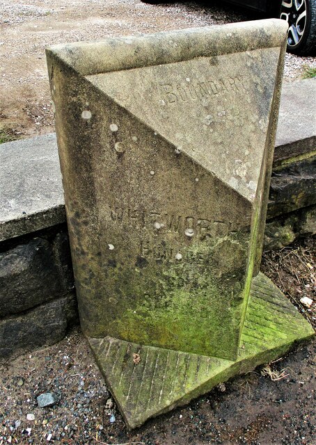
Administrative County: Lancashire

District: Rossendale

Police Authority: Lancashire

What 3 Words

///warrior.croaking.crash. Near Bacup, Lancashire

Related Wikis

Sharneyford

Sharneyford is a hamlet in Lancashire, England, on the A681 road between Bacup and Todmorden. It is home to one of the smallest schools in Britain, Sharneyford...

Christ Church, Bacup

Christ Church is in Beech Street, off Todmorden Road, Bacup, Lancashire, England. It is a former Anglican parish church in the deanery of Rossendale, the...

Bacup

Bacup ( BAY-kəp, ) is a town in the Rossendale Borough in Lancashire, England, in the South Pennines close to Lancashire's boundaries with West Yorkshire...

Astronomy Centre

The Astronomy Centre, also known as the Amateur Astronomy Centre, is an astronomical observatory located in northern England which is run by experienced...

Nearby Amenities

Located within 500m of 53.7051,-2.1756529
Power: tower
Lat/Long: 53.7032043/-2.17731
Power: tower
Lat/Long: 53.7051033/-2.1766877
Power: tower
Lat/Long: 53.7093772/-2.1752715
Power: tower
Lat/Long: 53.7013117/-2.1779215
Power: tower
Lat/Long: 53.7070021/-2.176044
Place: farm
Lat/Long: 53.708129/-2.1802801
Building: yes
Lat/Long: 53.7073415/-2.1721262
Place: farm
Lat/Long: 53.7047377/-2.1755165
Place: farm
Lat/Long: 53.7051442/-2.1799153
The data included in this document is from www.openstreetmap.org. The data is made available under ODbL.

Have you been to Reaps Clough?

Leave your review of Reaps Clough below (or comments, questions and feedback).