Tooter Hill

Hill, Mountain in Lancashire Rossendale

England

Tooter Hill

Pinfold remains near Cow Toot Farm A grade II listed structure.
Pinfold remains near Cow Toot Farm Credit: Kevin Waterhouse

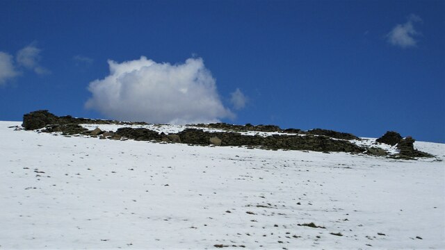
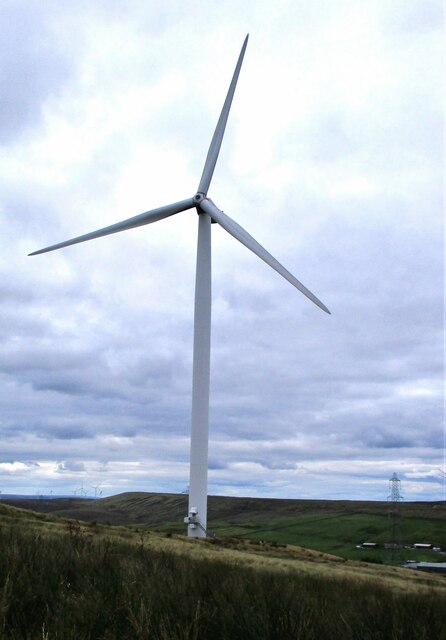
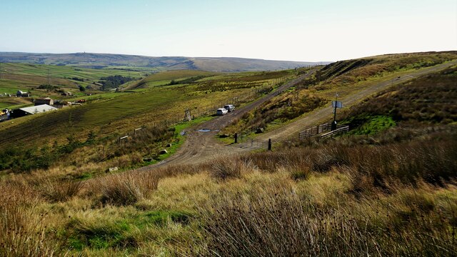
Tooter Hill is a prominent landmark located in the county of Lancashire, England. Situated in the southern part of the county, near the town of Darwen, Tooter Hill is a notable hill that forms part of the West Pennine Moors. With an elevation of approximately 309 meters (1,014 feet), it offers stunning panoramic views of the surrounding area.

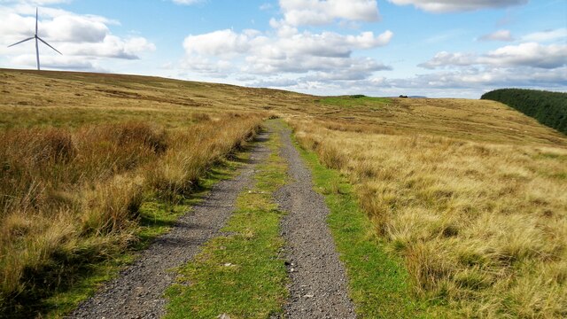
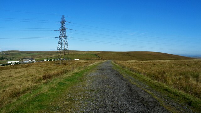
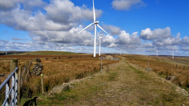
The hill is covered in lush green vegetation, predominantly consisting of grasses, heather, and scattered shrubs. Tooter Hill is a popular destination for hikers and nature enthusiasts due to its accessibility and picturesque surroundings. Visitors can enjoy a variety of walking trails that lead to the summit, where they can witness breathtaking vistas of the rolling Lancashire countryside.

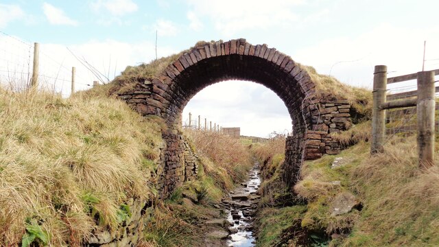
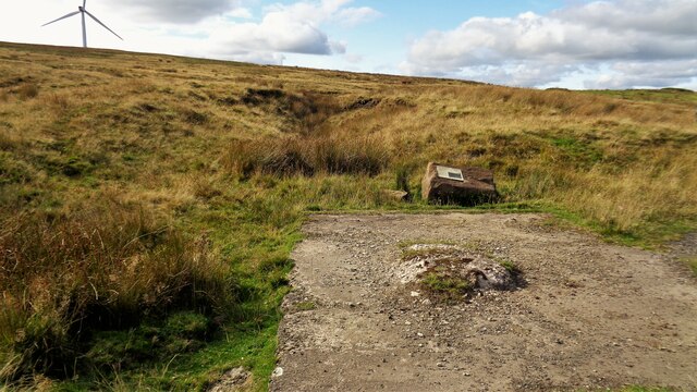
Tooter Hill is also known for its historical significance. The area has evidence of human occupation dating back thousands of years, with archaeological sites revealing the presence of ancient settlements and burial mounds. This highlights the long-standing connection between the local community and the land.

Moreover, Tooter Hill is part of a larger network of hills and moorland, providing habitat to a diverse range of flora and fauna. Birdwatchers may spot various species, including red grouse, peregrine falcons, and kestrels soaring overhead. The hill is also home to small mammals such as rabbits, voles, and foxes.

Overall, Tooter Hill in Lancashire offers a scenic retreat for those seeking natural beauty, outdoor activities, and a glimpse into the region's rich history.

If you have any feedback on the listing, please let us know in the comments section below.

Tooter Hill Images

Images are sourced within 2km of 53.709314/-2.170777 or Grid Reference SD8823. Thanks to Geograph Open Source API. All images are credited.

Pinfold remains near Cow Toot Farm A grade II listed structure.
Pinfold remains near Cow Toot Farm
A grade II listed structure.
Pinfold near Cow Toot Farm The pinfold is a prominent feature above Bacup and this view is from Bankside Lane
Pinfold near Cow Toot Farm
The pinfold is a prominent feature above Bacup and this view is from Bankside Lane
Astronomy Centre off Bacup Road The even skyline watershed extends to Freeholds Top in this view
Astronomy Centre off Bacup Road
The even skyline watershed extends to Freeholds Top in this view
Presumed Boundary Stone At Heald Top Farm
Presumed Boundary Stone
At Heald Top Farm
Wind Turbine on Todmorden Moor Viewed from Flower Scar Road
Wind Turbine on Todmorden Moor
Viewed from Flower Scar Road
Boundary Marker at Sharneyford At the side of the A681
Boundary Marker at Sharneyford
At the side of the A681
Bridge Arch on Old Meadows Road Old OS maps do not indicate any purpose for this bridge, either tramway or path. It is fitting to be on the Irwell Sculpture Trail now and could be a piece of art
Bridge Arch on Old Meadows Road
Old OS maps do not indicate any purpose for this bridge, either tramway or path. It is fitting to be on the Irwell Sculpture Trail now and could be a piece of art
Massive Gate Piers At Far Old Meadows, but not apparently an entrance
Massive Gate Piers
At Far Old Meadows, but not apparently an entrance
Tramway course to Tower Clough Mine The former tramway track bed linking Tower Clough mine with Flower Scar Road
Tramway course to Tower Clough Mine
The former tramway track bed linking Tower Clough mine with Flower Scar Road
Former Tower Clough Mine The drift mine entrance is beyond the concrete slab which is believed to have housed ancillary equipment for the mine operation. There is an information board mounted on a rock giving a useful history
Former Tower Clough Mine
The drift mine entrance is beyond the concrete slab which is believed to have housed ancillary equipment for the mine operation. There is an information board mounted on a rock giving a useful history
Track to Hill Top Mine Old road to the last mine around the Heald Moor area
Track to Hill Top Mine
Old road to the last mine around the Heald Moor area
The A681 at the county boundary Where Bacup Road becomes Todmorden Road at Sharneyford
The A681 at the county boundary
Where Bacup Road becomes Todmorden Road at Sharneyford
Limers Gate and Wind Farm access road The junction of the gated new access road to Reaps Moss Wind Farm and the older Limers Gate. The latter has its own gate further from the junction
Limers Gate and Wind Farm access road
The junction of the gated new access road to Reaps Moss Wind Farm and the older Limers Gate. The latter has its own gate further from the junction
Reaps Moss Wind Farm access road The Rossendale Way crosses the access road at the camera position and continues north against the broken-down wall. The Rossendale Way crosses very rough unmarked ground and the access road is a far easy alternative, apart from the locked gate at its junction with Limers Gate
Reaps Moss Wind Farm access road
The Rossendale Way crosses the access road at the camera position and continues north against the broken-down wall. The Rossendale Way crosses very rough unmarked ground and the access road is a far easy alternative, apart from the locked gate at its junction with Limers Gate
Hey Head Farm View from Tong Lane with Reaps Moss wind farm on the skyline
Hey Head Farm
View from Tong Lane with Reaps Moss wind farm on the skyline
Housing backing onto fields Two styles of housing in this view with Onchan Drive to the left and Brambling Drive to the right
Housing backing onto fields
Two styles of housing in this view with Onchan Drive to the left and Brambling Drive to the right
Barrier across old green lane This old green lane from Tong Farm to Pasture Bottom Farm has several barriers to prevent use by vehicles. This barrier is the other side of the access track to Lower Reaps Farm which is crossing the green lane
Barrier across old green lane
This old green lane from Tong Farm to Pasture Bottom Farm has several barriers to prevent use by vehicles. This barrier is the other side of the access track to Lower Reaps Farm which is crossing the green lane
Paved section of old green lane This old lane tries to follow the contours between Tong and Pasture Bottom Farms
Paved section of old green lane
This old lane tries to follow the contours between Tong and Pasture Bottom Farms
Show me another place!

Tooter Hill is located at Grid Ref: SD8823 (Lat: 53.709314, Lng: -2.170777)

Administrative County: Lancashire

District: Rossendale

Police Authority: Lancashire

What 3 Words

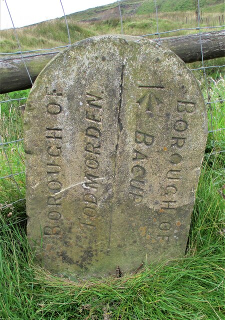
///mealtime.bliss.against. Near Bacup, Lancashire

Related Wikis

Sharneyford

Sharneyford is a hamlet in Lancashire, England, on the A681 road between Bacup and Todmorden. It is home to one of the smallest schools in Britain, Sharneyford...
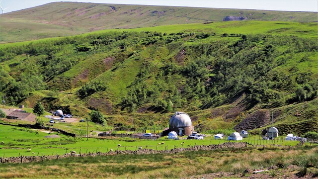
Astronomy Centre

The Astronomy Centre, also known as the Amateur Astronomy Centre, is an astronomical observatory located in northern England which is run by experienced...

Christ Church, Bacup

Christ Church is in Beech Street, off Todmorden Road, Bacup, Lancashire, England. It is a former Anglican parish church in the deanery of Rossendale, the...

Bacup Borough F.C.

Bacup Borough Football Club is a football club based in Bacup, Lancashire, England. The club are currently members of the North West Counties League Division...

Nearby Amenities

Located within 500m of 53.709314,-2.170777
Power: tower
Lat/Long: 53.7112822/-2.1747029
Power: tower
Lat/Long: 53.7131871/-2.1740913
Power: tower
Lat/Long: 53.7093772/-2.1752715
Power: tower
Lat/Long: 53.7070021/-2.176044
Place: farm
Lat/Long: 53.7112659/-2.1764177
Building: yes
Lat/Long: 53.7073415/-2.1721262
Tooter Hill
Place: locality
Lat/Long: 53.7104998/-2.1709565
Generator Method: wind_turbine
Generator Source: wind
Power: generator
Lat/Long: 53.7098468/-2.1762729
The data included in this document is from www.openstreetmap.org. The data is made available under ODbL.

Have you been to Tooter Hill?

Leave your review of Tooter Hill below (or comments, questions and feedback).