Avening Valley
Valley in Gloucestershire Cotswold
England
Avening Valley
Avening Valley, located in Gloucestershire, England, is a picturesque and charming area nestled between the Cotswold Hills. The valley is situated about five miles north of the market town of Tetbury and is surrounded by rolling green hills, meandering streams, and lush woodlands.
The valley is known for its natural beauty and tranquil atmosphere, making it a popular destination for nature lovers, hikers, and those seeking a peaceful retreat. The Avening Valley boasts a diverse range of flora and fauna, including rare wildflowers, oak and beech trees, and various bird species. The wildlife-rich area is also home to several protected species, such as badgers, foxes, and deer.
Throughout the valley, there are numerous walking trails, providing visitors with the opportunity to explore the scenic countryside and take in breathtaking views. One of the most notable routes is the Avening Valley Walk, a circular trail that takes walkers through the heart of the valley, passing by picturesque villages, historic sites, and peaceful meadows.
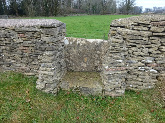
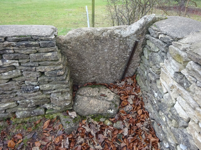
Aside from its natural beauty, Avening Valley is also steeped in history. The valley is dotted with charming villages, some of which date back centuries. These villages offer a glimpse into the region's past, with their traditional Cotswold stone houses, ancient churches, and well-preserved architecture.
In summary, Avening Valley in Gloucestershire is a stunning and idyllic area characterized by its natural beauty, peaceful ambiance, and rich history. Whether it's exploring the walking trails, enjoying the abundant wildlife, or simply soaking in the tranquility, Avening Valley offers a delightful escape from the hustle and bustle of everyday life.
If you have any feedback on the listing, please let us know in the comments section below.
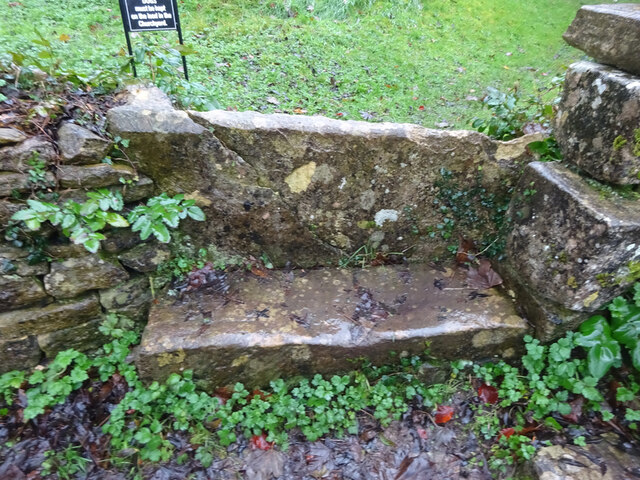
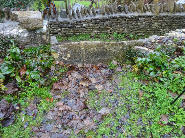
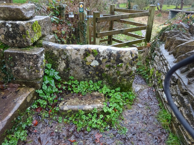
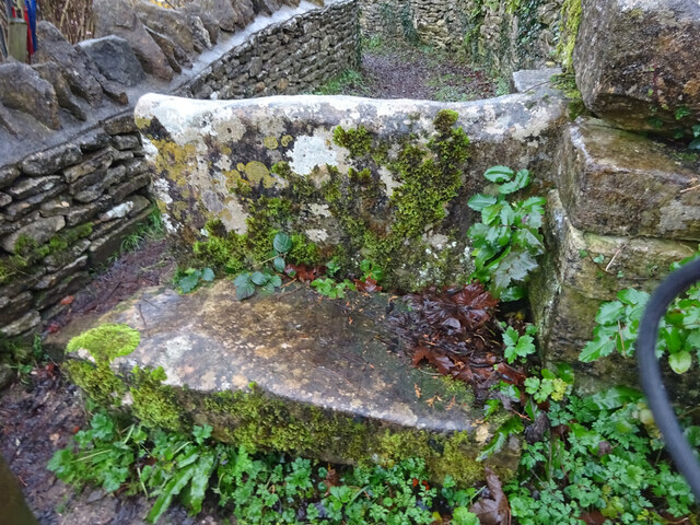
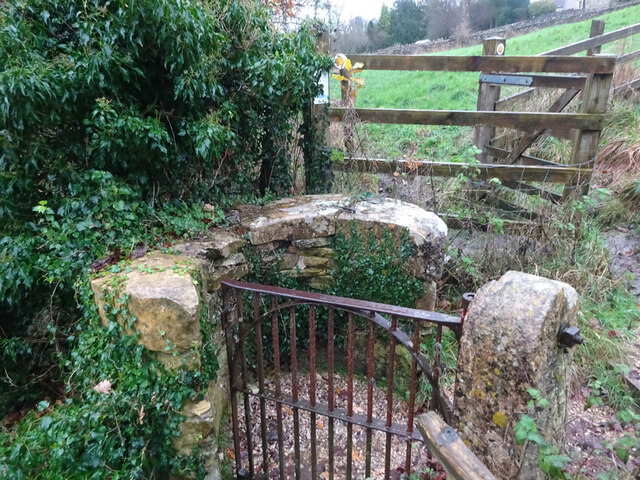
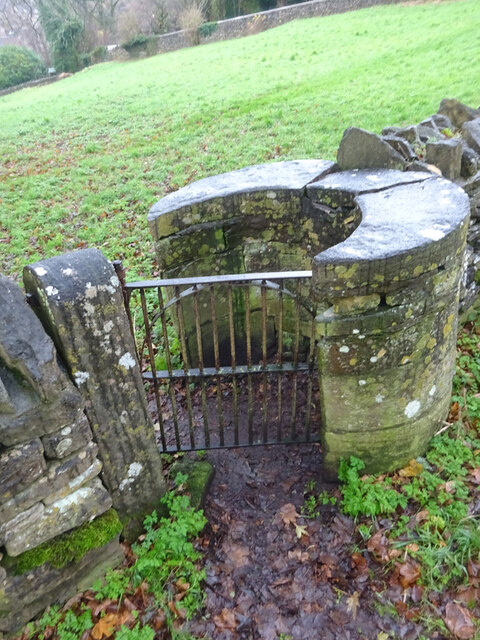
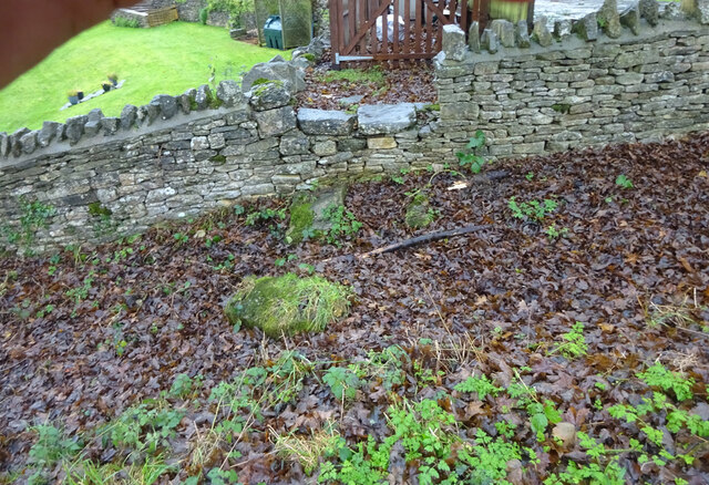
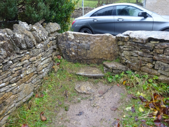
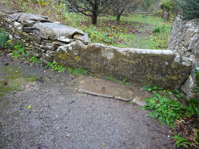
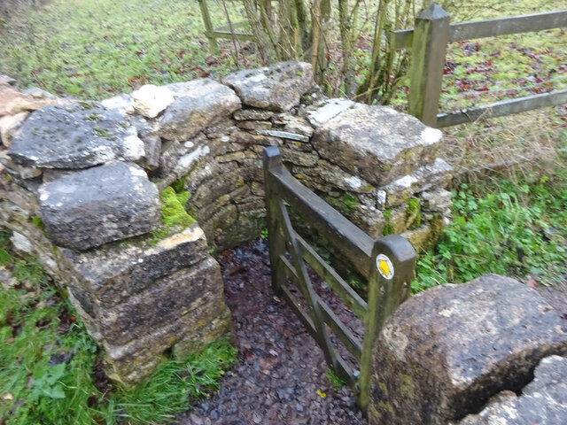
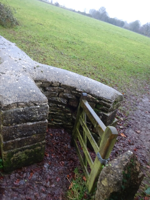
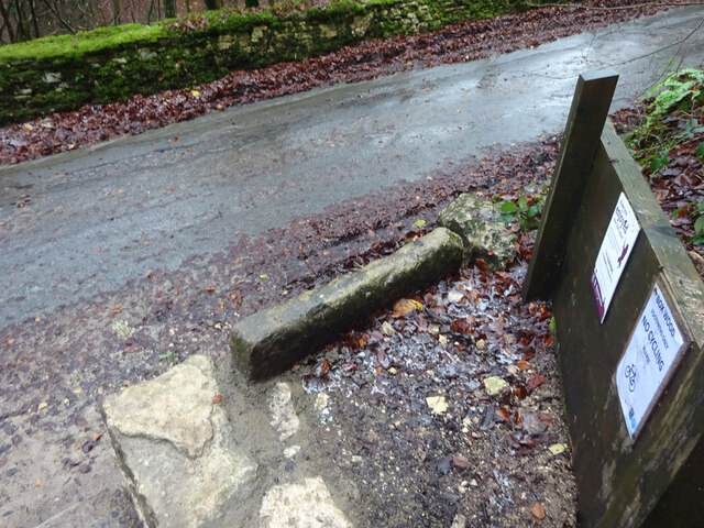
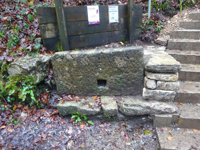
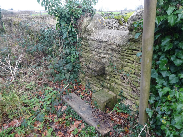
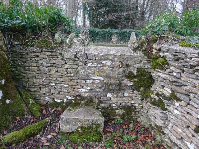
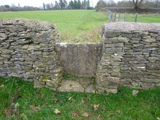
Avening Valley Images
Images are sourced within 2km of 51.686764/-2.1812756 or Grid Reference ST8798. Thanks to Geograph Open Source API. All images are credited.
Avening Valley is located at Grid Ref: ST8798 (Lat: 51.686764, Lng: -2.1812756)
Administrative County: Gloucestershire
District: Cotswold
Police Authority: Gloucestershire
What 3 Words
///permanent.emptied.flexed. Near Avening, Gloucestershire
Nearby Locations
Related Wikis

Avening Valley
The Avening Valley is located in the South Cotswolds in England, running roughly east from Nailsworth and through the village of Avening.During the 17th...

Church of the Holy Cross, Avening
The Anglican Church of the Holy Cross at Avening in the Cotswold District of Gloucestershire, England was built in late 11th century. It is a grade I listed...

Gatcombe Park
Gatcombe Park is the country residence of Anne, Princess Royal, between the villages of Minchinhampton (to which it belongs) and Avening in Gloucestershire...
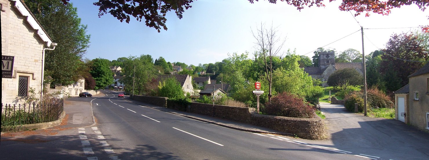
Avening
Avening () is a village and civil parish in the Cotswold district of Gloucestershire, England, about three miles (5 km) north of Tetbury. According to...

Ball's Green
Ball's Green is a hamlet in Gloucestershire, England. == External links == StreetMap.co.uk
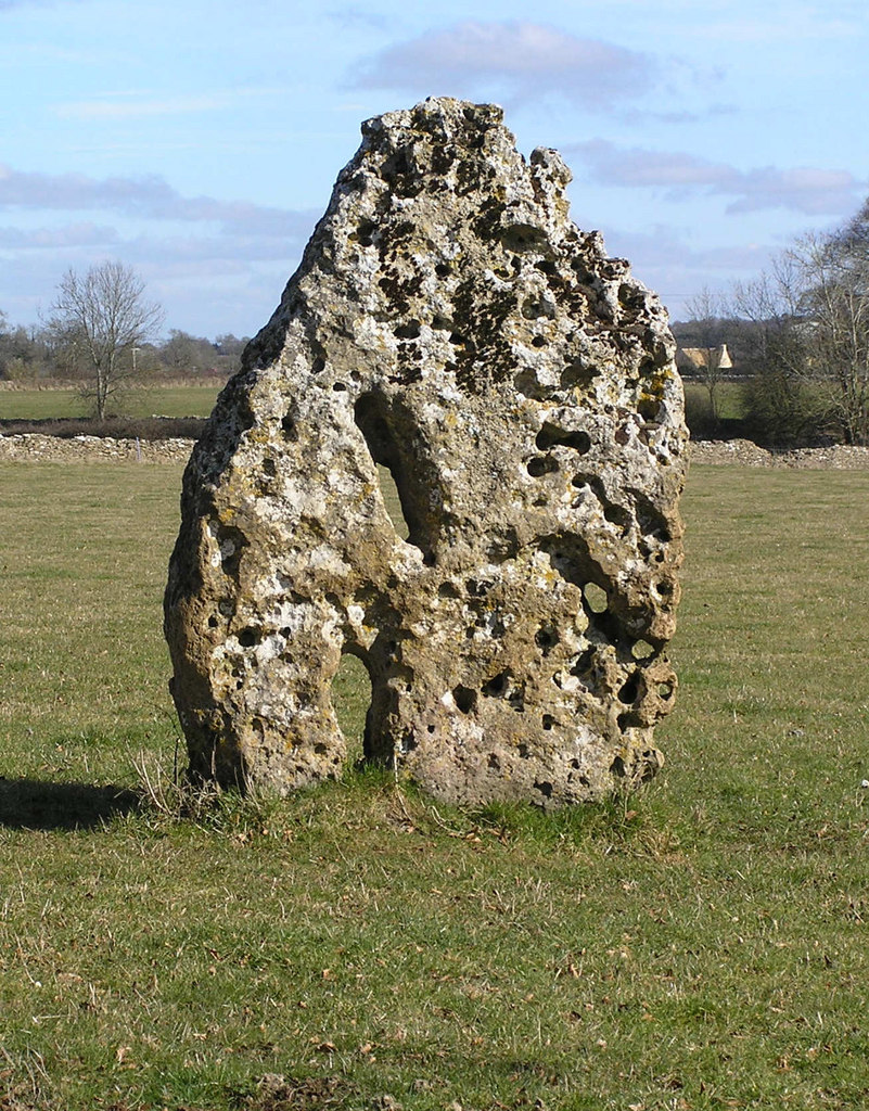
Longstone of Minchinhampton
The Longstone of Minchinhampton (grid reference ST884998) is a standing stone on Minchinhampton Common, Minchinhampton in Gloucestershire, England. The...

Box Farm Meadows SSSI
Box Farm Meadows (Stuart Fawkes reserve) (grid reference ST865997) is a 8.3-hectare (21-acre) biological Site of Special Scientific Interest in Gloucestershire...

Minchinhampton
Minchinhampton is a Cotswolds market town and a civil parish in the Stroud District of Gloucestershire, South West England. The town is located on a hilltop...
Related Videos
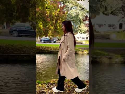
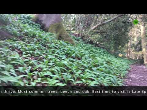
united Kingdom:Digital Trip to visit Box Woods by @krisztina.kapuvari | 2Morrow Trip
Come and #HopInOnline for #VirtualSights with #2MorrowDigitalTrips. Follow us on our channel ...

Two Hours in Minchinhampton
Minchinhampton is a small Gloucestershire town located between Cirencester and Stroud. Nearby is Gatcombe Park, hone to the ...

Nearby Amenities
Located within 500m of 51.686764,-2.1812756Have you been to Avening Valley?
Leave your review of Avening Valley below (or comments, questions and feedback).