Old Clough
Valley in Lancashire Rossendale
England
Old Clough
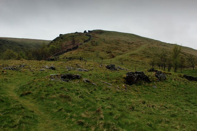
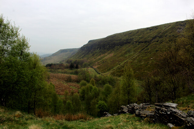
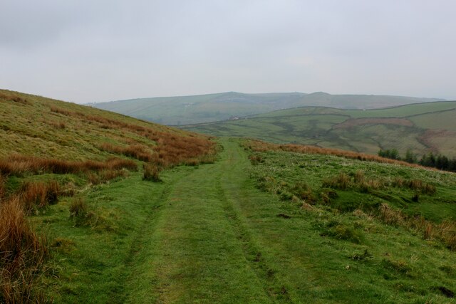
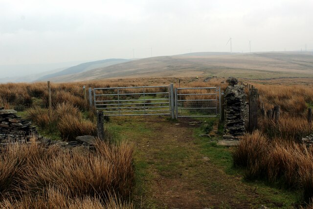
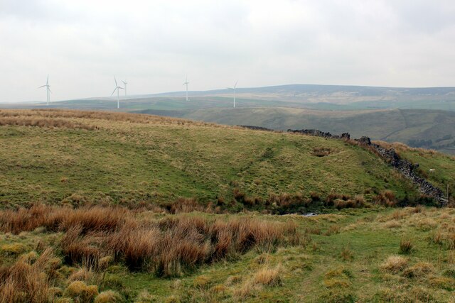
Old Clough is a small village located in the picturesque Lancashire Valley in England. Situated amidst rolling hills and lush greenery, Old Clough is known for its stunning natural beauty and tranquil atmosphere.
The village itself is comprised of a cluster of traditional stone cottages and farmhouses, giving it a charming and rustic feel. The surrounding landscape is dotted with fields and woodlands, making it an ideal destination for outdoor enthusiasts and nature lovers.
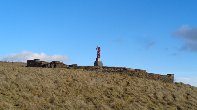
Old Clough is also home to a number of historic landmarks, including a medieval church and a traditional village pub. The community is close-knit and friendly, with residents often coming together for local events and celebrations.
Visitors to Old Clough can enjoy leisurely walks along the scenic countryside, explore the nearby Lancashire Valley, or simply relax and soak in the peaceful ambiance of this idyllic village.
Overall, Old Clough offers a perfect retreat for those seeking a quiet and quaint getaway in the heart of Lancashire's stunning countryside.
If you have any feedback on the listing, please let us know in the comments section below.
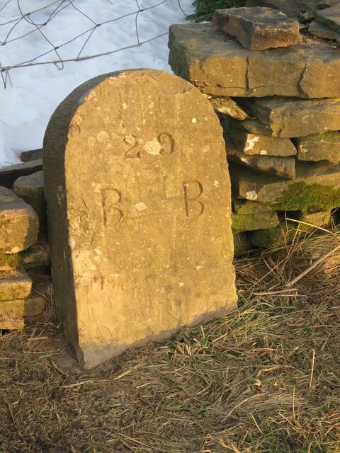
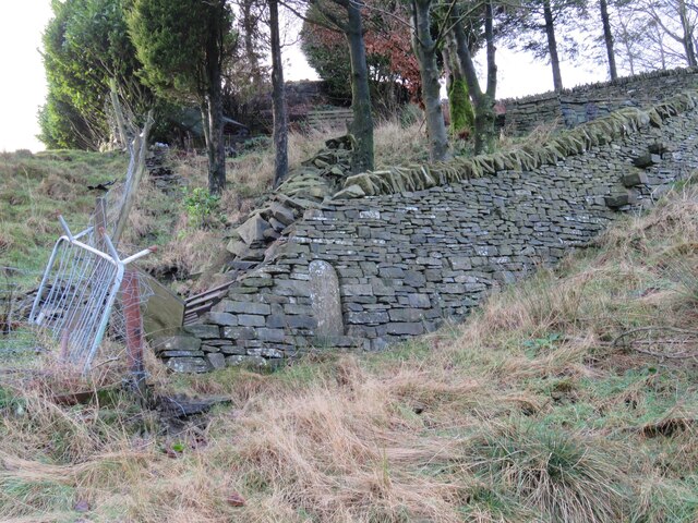
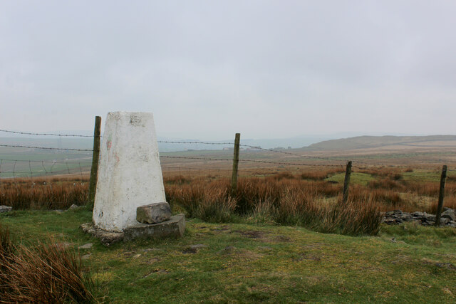
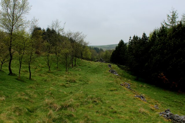
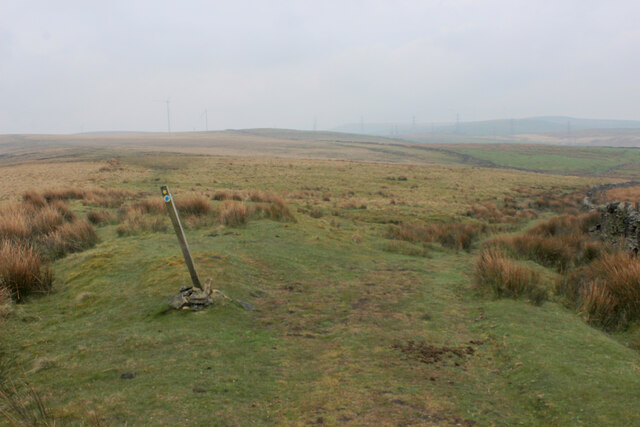
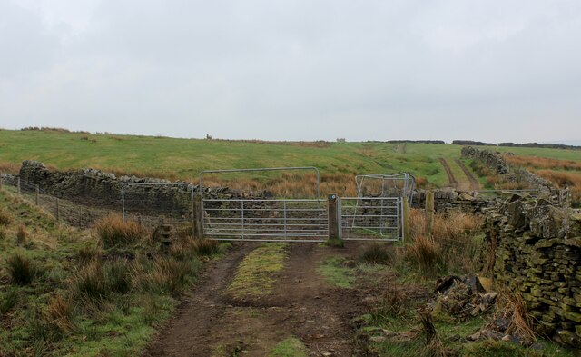
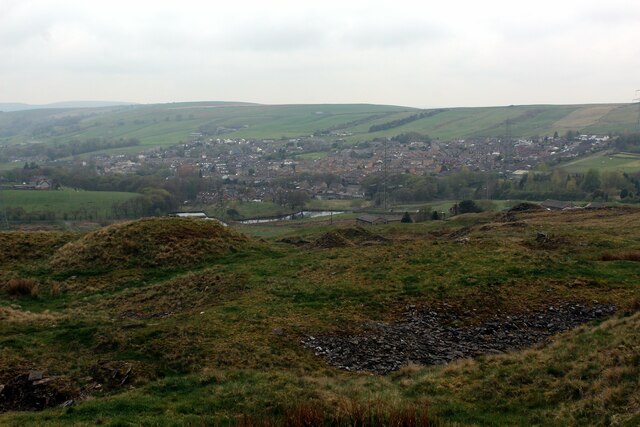
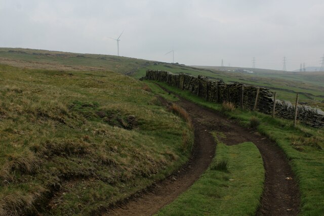
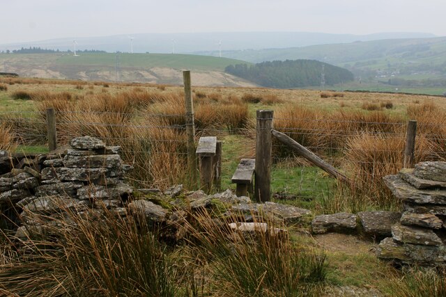
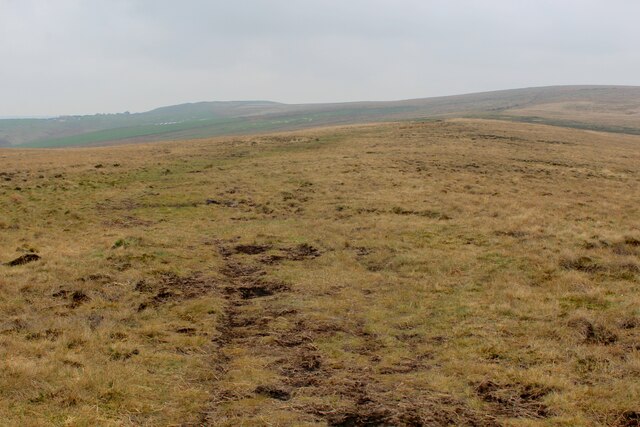
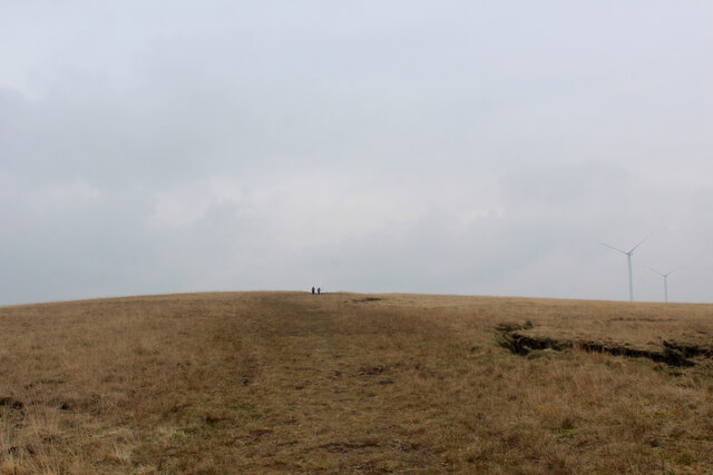
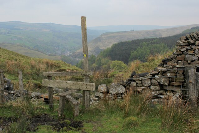
Old Clough Images
Images are sourced within 2km of 53.729474/-2.1940947 or Grid Reference SD8725. Thanks to Geograph Open Source API. All images are credited.
Old Clough is located at Grid Ref: SD8725 (Lat: 53.729474, Lng: -2.1940947)
Administrative County: Lancashire
District: Rossendale
Police Authority: Lancashire
What 3 Words
///approach.incur.speeches. Near Bacup, Lancashire
Nearby Locations
Related Wikis

Weir, Lancashire
Weir is a village to the north of Bacup in the Rossendale borough of Lancashire, England, and immediately south of the boundary with the Borough of Burnley...

A671 road
The A671 is a road in the North West of England, that runs between Oldham, Greater Manchester and Worston, near Clitheroe, Lancashire. Major towns on the...

Hill Top Colliery
The Hill Top Colliery in Sharneyford between Bacup and Todmorden was, until 2014, the last coal mine still in operation in Lancashire. == Foundation... ==

Sharneyford
Sharneyford is a hamlet in Lancashire, England, on the A681 road between Bacup and Todmorden. It is home to one of the smallest schools in Britain, Sharneyford...
Related Videos
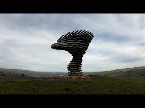
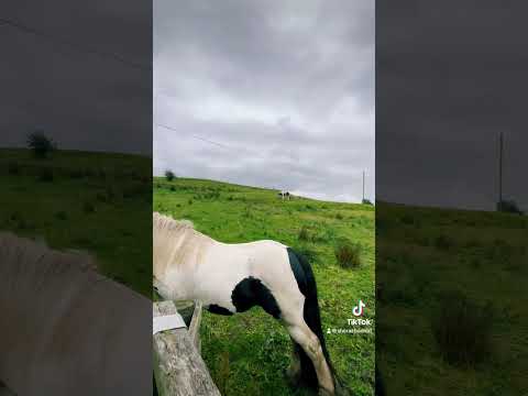
Singing Ringing Tree Hike
The Singing Ringing Tree located in Burnley England. The sculpture is a strange place it has a very strange sound when the wind ...

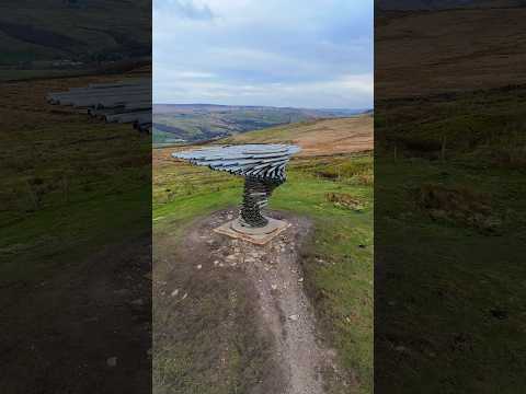
Drone Footage -Singing Tree #drone #nature #travel #dronevideo
Drone Footage -Singing Tree #drone #nature #travel #dronevideo.
Nearby Amenities
Located within 500m of 53.729474,-2.1940947Have you been to Old Clough?
Leave your review of Old Clough below (or comments, questions and feedback).