Wetshaw Hope

Valley in Northumberland

England

Wetshaw Hope

Cattle in field above Redesdale Otterburn village <a href="https://www.geograph.org.uk/gridref/NY8893">NY8893</a> can be seen to the left in the middle distance.
Cattle in field above Redesdale Credit: Oliver Dixon

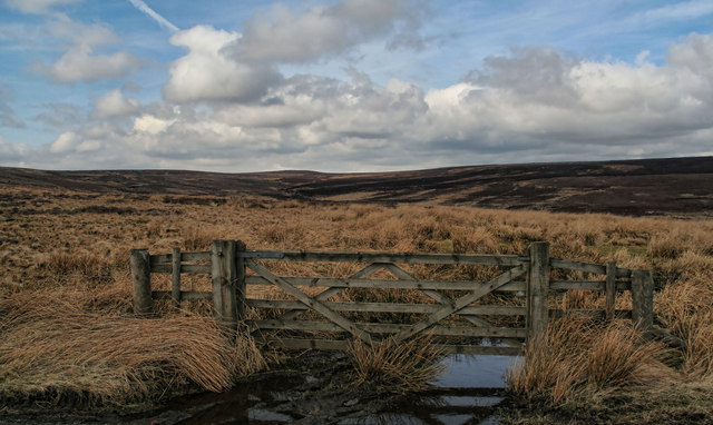
Wetshaw Hope is a small picturesque valley located in the county of Northumberland, England. Nestled in the northern part of the county, this tranquil valley is known for its stunning natural beauty and rich history.

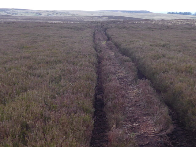
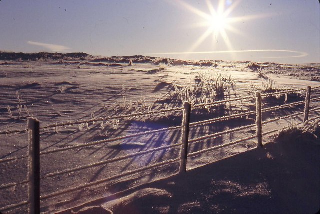
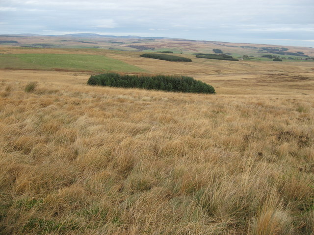
Surrounded by rolling hills and dotted with lush green meadows, Wetshaw Hope offers breathtaking views of the Northumberland countryside. The valley is home to a diverse range of wildlife, including various bird species, rabbits, and deer, making it a popular spot for nature enthusiasts and birdwatchers.

The history of Wetshaw Hope dates back centuries, with evidence of human habitation in the area dating back to the Neolithic period. The valley has been inhabited continuously since then, with numerous archaeological sites and ancient ruins scattered throughout the area. Visitors can explore the remnants of ancient settlements, burial mounds, and stone circles, providing a glimpse into the valley's rich past.

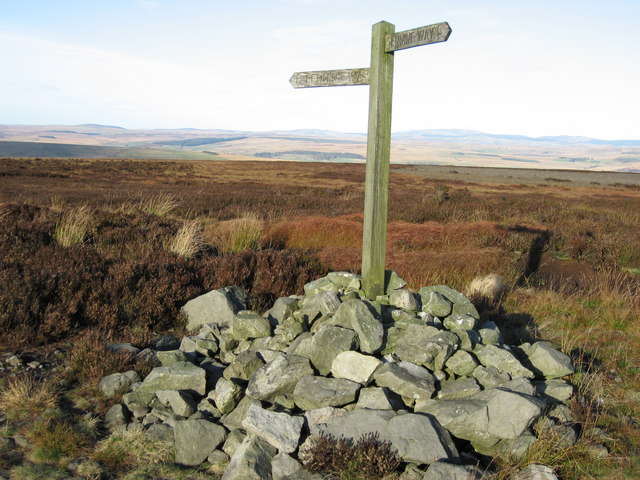
Wetshaw Hope is also known for its walking trails and hiking routes, offering visitors the opportunity to explore the valley's beauty on foot. The trails wind through wooded areas, alongside babbling brooks, and up to breathtaking viewpoints, making it a haven for outdoor enthusiasts.

In addition to its natural beauty, Wetshaw Hope is home to a small, tight-knit community. The residents take pride in their valley, preserving its unique heritage and welcoming visitors with open arms.

Overall, Wetshaw Hope is a hidden gem in Northumberland, offering visitors a peaceful retreat and a chance to connect with nature and history.

If you have any feedback on the listing, please let us know in the comments section below.

Wetshaw Hope Images

Images are sourced within 2km of 55.199703/-2.2272055 or Grid Reference NY8589. Thanks to Geograph Open Source API. All images are credited.

Cattle in field above Redesdale Otterburn village <a href="https://www.geograph.org.uk/gridref/NY8893">NY8893</a> can be seen to the left in the middle distance.
Cattle in field above Redesdale
Otterburn village NY8893 can be seen to the left in the middle distance.
The Pennine Way near Millstone Edge
Sheep and feeders on Troughend Common On the skyline are the plantations on the top of East Woodburn Common.
Sheep and feeders on Troughend Common
On the skyline are the plantations on the top of East Woodburn Common.
Otterburn from the air Otterburn is in the centre of this photo which was taken from a Prague bound flight from Edinburgh.
Otterburn from the air
Otterburn is in the centre of this photo which was taken from a Prague bound flight from Edinburgh.
Grazing land and small conifer plantation To the southeast of the B6320.  The plantation is marked on the largest-scale map.
Grazing land and small conifer plantation
To the southeast of the B6320. The plantation is marked on the largest-scale map.
Pennine way marker on Deer play. Desolate moorland.
Pennine way marker on Deer play.
Desolate moorland.
Deer Play Looking SE towards the summit of this remote moor.
Deer Play
Looking SE towards the summit of this remote moor.
Winter on Hareshaw Common A low, winter's sun makes the scene sparkle on Hareshaw Comman
Winter on Hareshaw Common
A low, winter's sun makes the scene sparkle on Hareshaw Comman
Way marker on the Pennine Way Near Deer Play.  The Cheviot Hills are visible in the distance.
Way marker on the Pennine Way
Near Deer Play. The Cheviot Hills are visible in the distance.
Pennine Way near Deer Play Near to a cluster of large shakeholes on the Pennine Way near Deer Play.  This ice-crusted pool may be a small shakehole.  For more information on shakeholes, see:  <span class="nowrap"><a title="http://www.bbc.co.uk/scotland/education/int/geog/limestone/surface/shakehole.html" rel="nofollow ugc noopener" href="http://www.bbc.co.uk/scotland/education/int/geog/limestone/surface/shakehole.html">Link</a><img style="margin-left:2px;" alt="External link" title="External link - shift click to open in new window" src="https://s1.geograph.org.uk/img/external.png" width="10" height="10"/></span>
Pennine Way near Deer Play
Near to a cluster of large shakeholes on the Pennine Way near Deer Play. This ice-crusted pool may be a small shakehole. For more information on shakeholes, see: LinkExternal link
Rough grazing near Great Moor The Cheviots are visible in the distance.
Rough grazing near Great Moor
The Cheviots are visible in the distance.
Great Moor This is one of the most featureless gridsquares I've geographed.  But there is a good view from up here, see: <a title="https://www.geograph.org.uk/photo/621205" href="https://www.geograph.org.uk/photo/621205">Link</a>.
Great Moor
This is one of the most featureless gridsquares I've geographed. But there is a good view from up here, see: Link.
Bught Knowe Bught Knowe on Troughend Common seen from Miller Burn Bridge.
Bught Knowe
Bught Knowe on Troughend Common seen from Miller Burn Bridge.
Troughend Common The B6320 above Miller Burn on Troughend Common.
Troughend Common
The B6320 above Miller Burn on Troughend Common.
Wetshaw Hope View from the B6320 looking up towards Wetshaw Hope.
Wetshaw Hope
View from the B6320 looking up towards Wetshaw Hope.
Corsenside Common Road on Corsenside Common.
Corsenside Common
Road on Corsenside Common.
Show me another place!

Wetshaw Hope is located at Grid Ref: NY8589 (Lat: 55.199703, Lng: -2.2272055)

Unitary Authority: Northumberland

Police Authority: Northumbria

What 3 Words

///unloading.revised.yield. Near Corsenside, Northumberland

Related Wikis

Corsenside

Corsenside is one of the largest parishes in Northumberland, however the area is mainly a vast expanse of rolling hills and farmland, with three tiny villages...

Redesdale

Redesdale is a valley in western Northumberland, England. It is formed by the River Rede, which rises in the Cheviots and flows down to join the North...
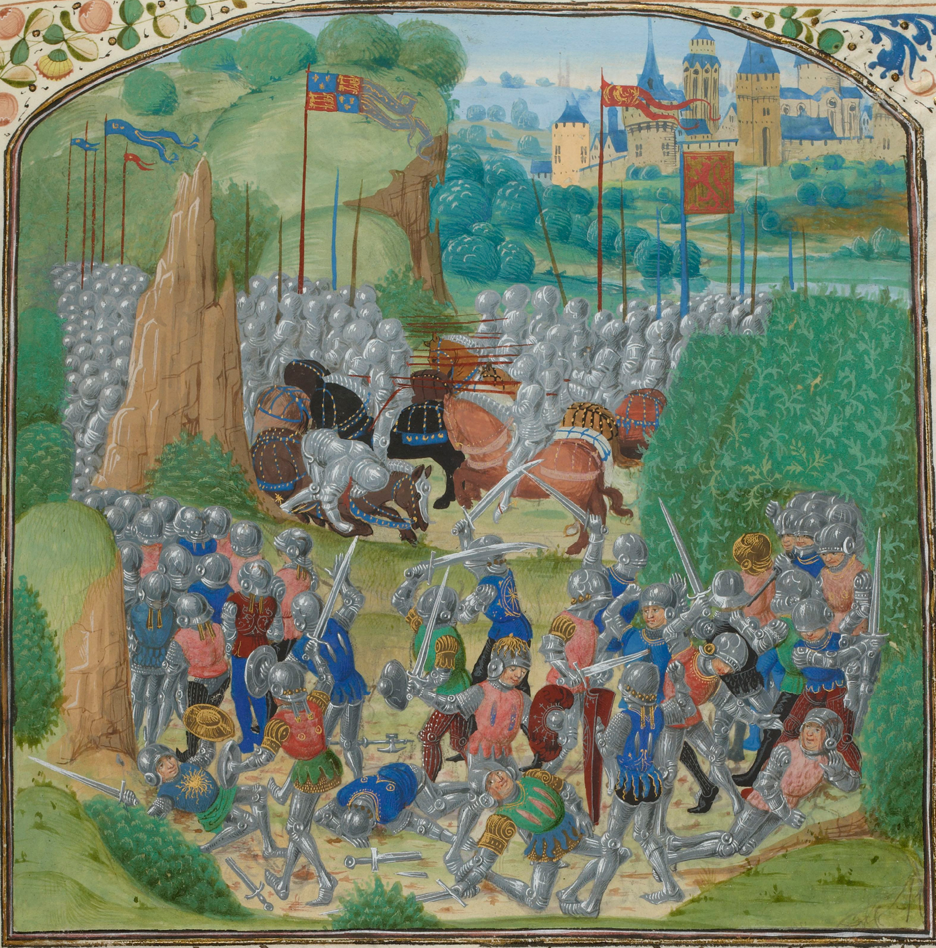
Battle of Otterburn

The Battle of Otterburn took place according to Scottish sources on 5 August 1388, or 19 August according to English sources, as part of the continuing...
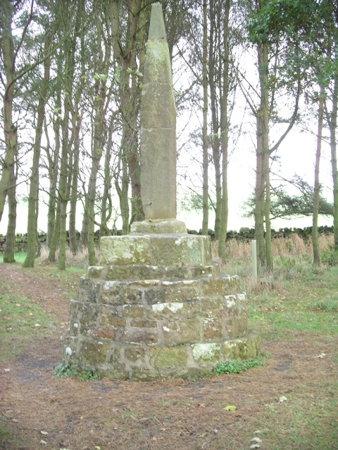
Percy Cross

The Percy Cross (also Battle Stone) is located just off the A696, 1 kilometre (0.62 mi) from Otterburn, Northumberland, England. It was erected before...

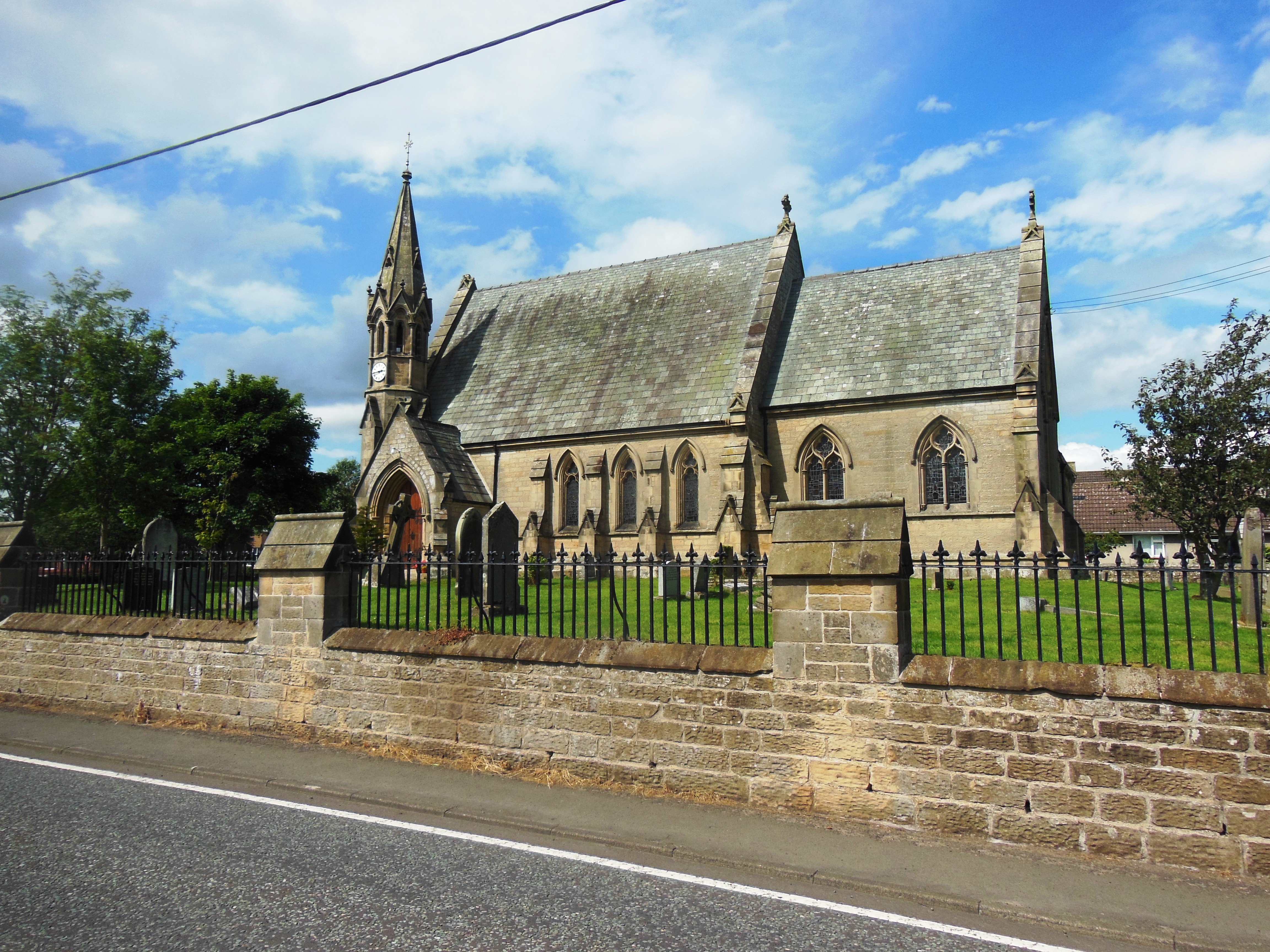
St John the Evangelist's Church, Otterburn

St John the Evangelist's Church is a church in Otterburn, Northumberland, northeast England, located off the A696 road. == History == The foundation stone...

Otterburn Mill

Otterburn Mill is a former textile mill in Otterburn, Northumberland, northeast England. It lies just south of the Otterburn Tower along the A696 road...

Great Northumberland Forest

The Great Northumberland Forest is a proposed new forest in the north of England. Announced in September 2019, it is intended that up to a million trees...

Otterburn Tower

Otterburn Tower (sometimes spelled Otiburne; originally Otterburn Castle; currently Otterburn Tower Hotel) is a Grade II listed castellated, three star...

Nearby Amenities

Located within 500m of 55.199703,-2.2272055
Wetshaw Hope
Place: locality
Lat/Long: 55.1995291/-2.2273937
White Rigg
Place: locality
Lat/Long: 55.1966914/-2.2288763
The data included in this document is from www.openstreetmap.org. The data is made available under ODbL.

Have you been to Wetshaw Hope?

Leave your review of Wetshaw Hope below (or comments, questions and feedback).