Enford Bottom
Valley in Dorset
England
Enford Bottom
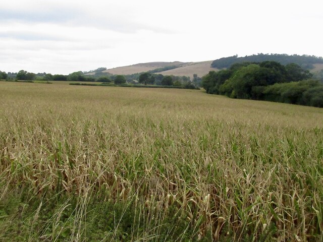
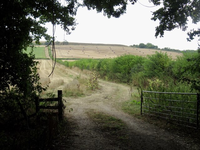
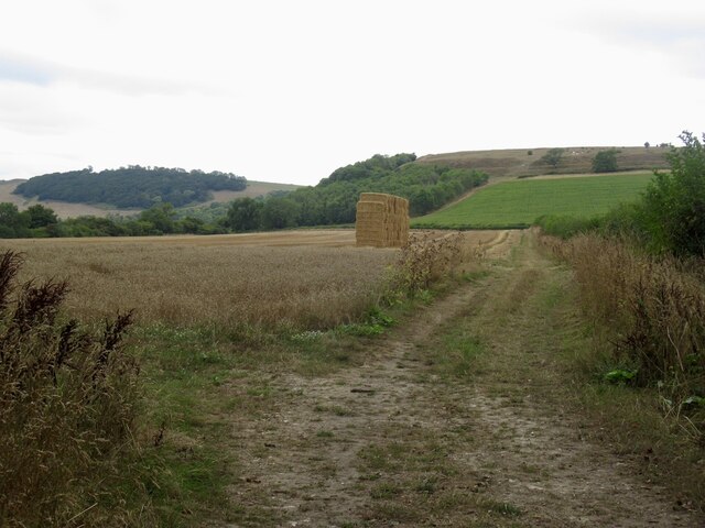
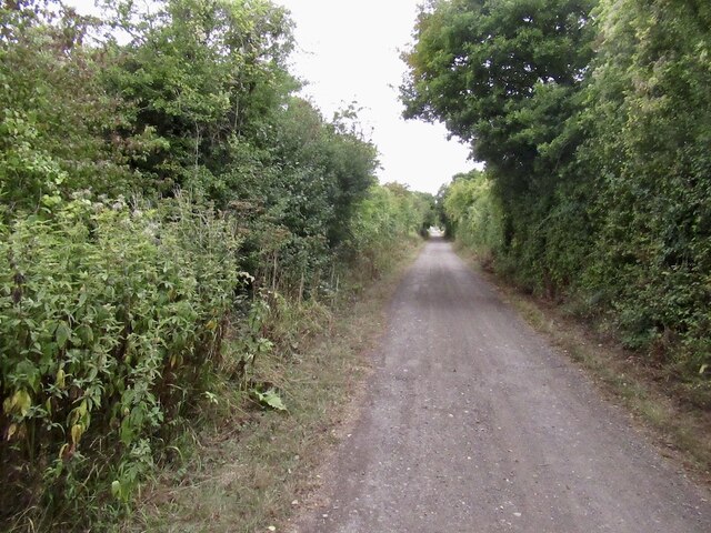
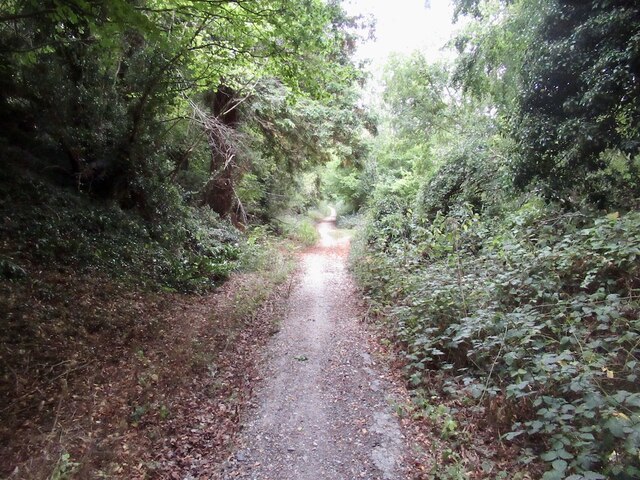
Enford Bottom is a picturesque valley located in the county of Dorset, England. Nestled in the heart of the Cranborne Chase Area of Outstanding Natural Beauty, this idyllic rural setting offers visitors a tranquil escape from the hustle and bustle of modern life.
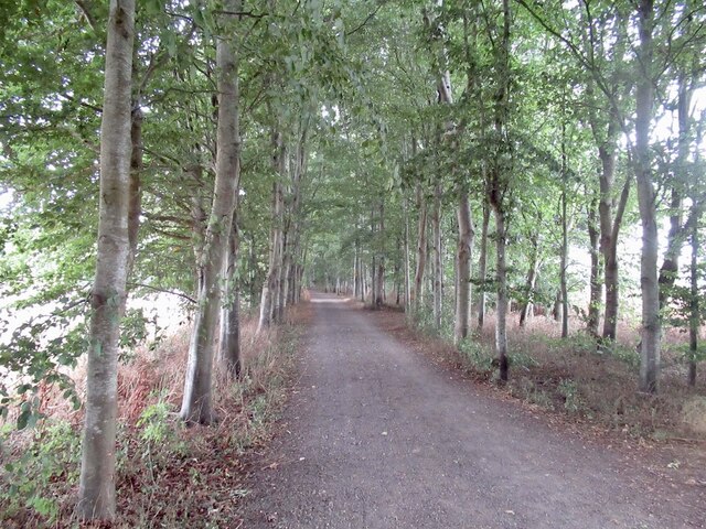
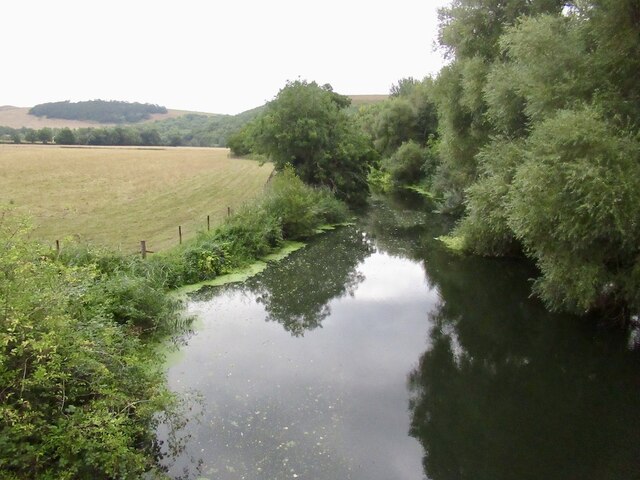
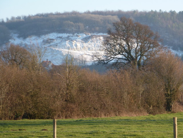
The valley is characterized by rolling hills, lush meadows, and meandering streams, all surrounded by dense woodlands filled with a rich variety of flora and fauna. The landscape is a patchwork of vibrant colors, with wildflowers dotting the fields and vibrant foliage adorning the trees during the warmer months.
Enford Bottom is home to a diverse range of wildlife, including deer, foxes, badgers, and an array of bird species. Birdwatchers flock to the area to catch glimpses of buzzards, kestrels, and skylarks soaring through the skies. The tranquil streams attract otters and kingfishers, adding to the area's natural charm.
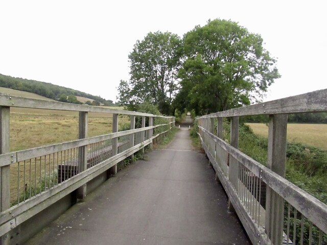
For those seeking outdoor activities, Enford Bottom offers numerous walking and cycling trails that wind through the valley and its surrounding countryside. These trails offer stunning views of the surrounding landscape and provide an opportunity to explore the hidden gems of this rural haven.
Enford Bottom is also steeped in history, with several ancient sites of interest nearby. Visitors can explore the ancient burial mounds and Iron Age hillforts that dot the landscape, giving a glimpse into the area's rich past.
In summary, Enford Bottom in Dorset is a serene and beautiful valley, offering visitors a chance to immerse themselves in nature and take a step back in time. Whether it's exploring the diverse wildlife, embarking on outdoor adventures, or delving into the area's historical treasures, Enford Bottom is a destination that captivates all who visit.
If you have any feedback on the listing, please let us know in the comments section below.
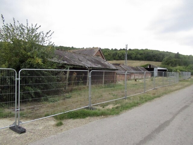
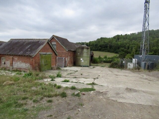
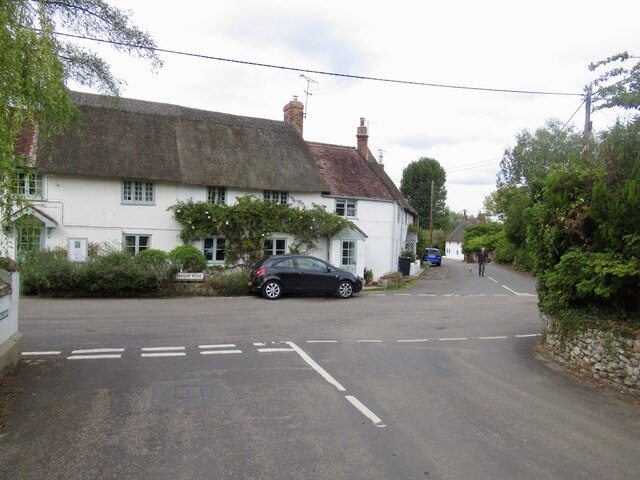
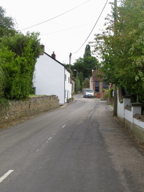
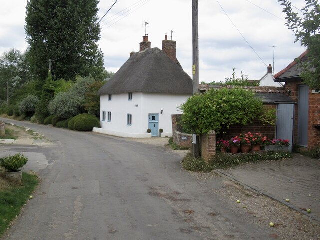
Enford Bottom Images
Images are sourced within 2km of 50.882103/-2.2194817 or Grid Reference ST8409. Thanks to Geograph Open Source API. All images are credited.
Enford Bottom is located at Grid Ref: ST8409 (Lat: 50.882103, Lng: -2.2194817)
Unitary Authority: Dorset
Police Authority: Dorset
What 3 Words
///resonated.corporate.healthier. Near Shillingstone, Dorset
Nearby Locations
Related Wikis

Stourpaine and Durweston railway station
Stourpaine & Durweston Halt was a railway station in the English county of Dorset. It was located between Shillingstone and Blandford Forum on the Somerset...

Durweston
Durweston ( dər-WES-tən) is a village and civil parish in the English county of Dorset. It lies two miles (three kilometres) northwest of the town of Blandford...

Stourpaine
Stourpaine () is a village and civil parish in the ceremonial county of Dorset in southern England. It is situated in the valley of the River Stour in...

Hod Hill
Hod Hill (or Hodd Hill) is a large hill fort in the Blackmore Vale, 3 miles (5 km) north-west of Blandford Forum, Dorset, England. The fort sits on a 143...
Hanford School
Hanford School is a girls' boarding preparatory school located in Hanford, Child Okeford, Dorset, England, established in 1947 and located in a grade II...

Ash (near Stourpaine)
Ash is a hamlet approximately 0.5 miles (1 km) north of the village of Stourpaine, Dorset, England.Ash was listed in the Domesday Book of 1086. == References... ==
Hanford, Dorset
Hanford is a village and civil parish in the administrative area North Dorset, in the English county Dorset. The parish had 154 inhabitants in 2001....
Shillingstone Quarry
Shillingstone Quarry SSSI, Dorset (grid reference ST823098) is an 8.13 hectare geological Site of Special Scientific Interest in Dorset, England, notified...
Nearby Amenities
Located within 500m of 50.882103,-2.2194817Have you been to Enford Bottom?
Leave your review of Enford Bottom below (or comments, questions and feedback).