Great Sled Dale

Valley in Yorkshire Richmondshire

England

Great Sled Dale

Great Sleddale Beck meets Birkdale Beck Becomes the River Swale
Great Sleddale Beck meets Birkdale Beck Credit: David Brown

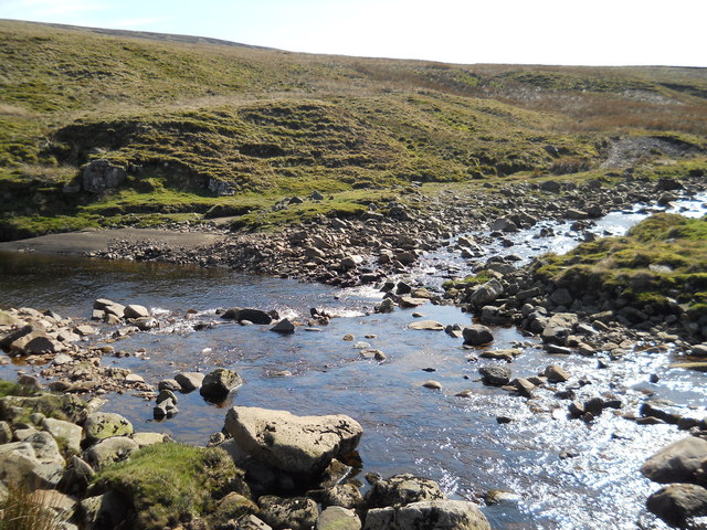
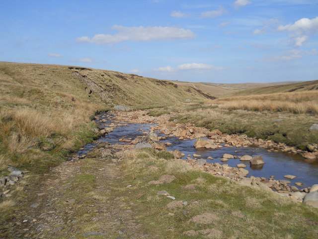
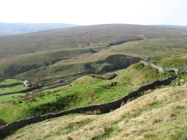
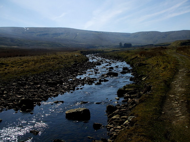
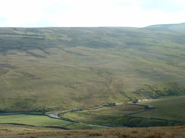
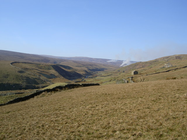
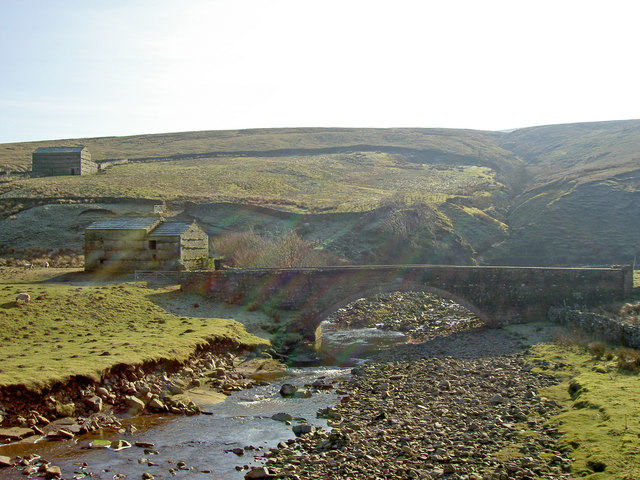
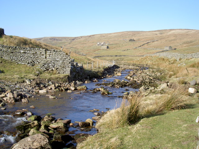
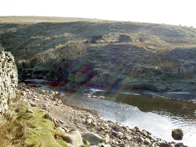
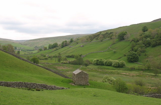
Great Sled Dale is a picturesque valley located in the Yorkshire Dales National Park, in North Yorkshire, England. The valley is known for its stunning natural beauty, with rolling hills, meandering streams, and an abundance of wildlife.

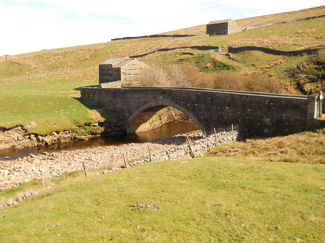
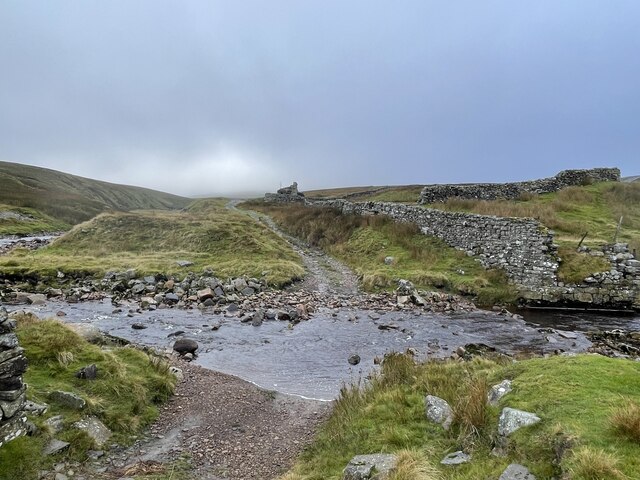
The dale is situated approximately 5 miles south of the market town of Hawes, and can be accessed via a scenic country road. It is surrounded by ancient woodlands, providing a rich habitat for a variety of plant and animal species. Visitors can expect to see a range of birdlife, including buzzards, owls, and songbirds, as well as small mammals like rabbits and hedgehogs.

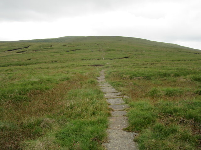
The valley is also home to several walking trails, making it a popular destination for hikers and outdoor enthusiasts. The paths wind through the dale, offering breathtaking views of the surrounding countryside and the chance to explore hidden gems such as waterfalls and limestone caves. For those seeking a more relaxed experience, there are plenty of picnic spots along the way to enjoy a leisurely lunch amidst nature.

Great Sled Dale is steeped in history, with evidence of human habitation dating back thousands of years. The area is dotted with ancient remains, including stone circles and burial mounds, offering a glimpse into the lives of the people who once called this valley home.

Overall, Great Sled Dale is a truly enchanting destination that showcases the natural beauty and rich history of the Yorkshire Dales. Whether visitors come for a leisurely stroll, a challenging hike, or simply to immerse themselves in the tranquility of the surroundings, they are sure to be captivated by the charm and beauty of this remarkable valley.

If you have any feedback on the listing, please let us know in the comments section below.

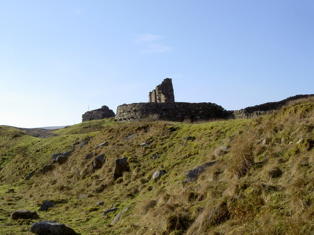
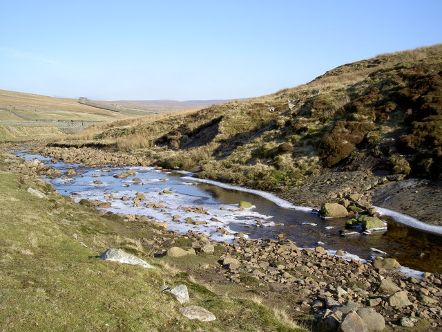
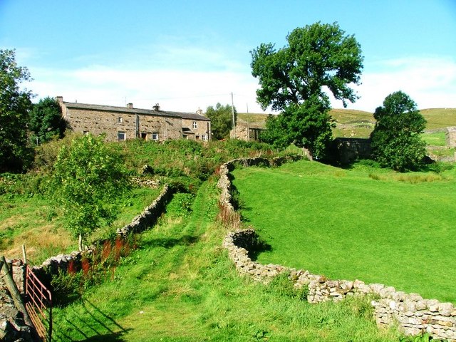
Great Sled Dale Images

Images are sourced within 2km of 54.392983/-2.2385372 or Grid Reference SD8499. Thanks to Geograph Open Source API. All images are credited.

Great Sleddale Beck meets Birkdale Beck Becomes the River Swale
Great Sleddale Beck meets Birkdale Beck
Becomes the River Swale
Ford over Great Sleddale Beck The track crosses and recrosses the beck several times.Walkers are best advised to stay on one side!
Ford over Great Sleddale Beck
The track crosses and recrosses the beck several times.Walkers are best advised to stay on one side!
Bridge across River Swale A fine structure going from one field to another. They built them properly then!
Bridge across River Swale
A fine structure going from one field to another. They built them properly then!
The B6270 heading west for Nateby At the time of taking this photo, the B6270 was closed between here and the county border <a href="https://www.geograph.org.uk/gridref/NY81160405">NY81160405</a>. At first I thought this rather a nuisance, but then realised that it enabled me to stop for photos wherever I wanted without causing any obstruction!
The B6270 heading west for Nateby
At the time of taking this photo, the B6270 was closed between here and the county border NY81160405. At first I thought this rather a nuisance, but then realised that it enabled me to stop for photos wherever I wanted without causing any obstruction!
The B6270 above Birk Dale
Hill tracks in Birk Dale Although some dislike tracks of this type, there is no doubt that they assist with access to the higher hills. The approach would otherwise be across arduous, rough ground. (This track, incidentally, is all on Access Land, although probably shut occasionally for shooting.)
Hill tracks in Birk Dale
Although some dislike tracks of this type, there is no doubt that they assist with access to the higher hills. The approach would otherwise be across arduous, rough ground. (This track, incidentally, is all on Access Land, although probably shut occasionally for shooting.)
Birk Dale
Birk Dale
Great Sled Dale Beck Its waters drain the northern & western slopes of Great Shunner Fell and Angram Common, seen in this shot, and the eastern slopes of Hugh Seat and Burnt Moor.
Great Sled Dale Beck
Its waters drain the northern & western slopes of Great Shunner Fell and Angram Common, seen in this shot, and the eastern slopes of Hugh Seat and Burnt Moor.
Approaching Great Shunner Fell The climb ahead is the start of Great Shunner Fell
Approaching Great Shunner Fell
The climb ahead is the start of Great Shunner Fell
Great Sleddale Ford This ford on Birkdale Beck was impassable on foot on the day of our visit which prevented us investigating the three fords further along the track.
Great Sleddale Ford
This ford on Birkdale Beck was impassable on foot on the day of our visit which prevented us investigating the three fords further along the track.
Birkdale Beck, near Keld, Yorkshire Looking south, at the point where Great Sleddale Beck joins Birkdale Beck to form the River Swale.
Birkdale Beck, near Keld, Yorkshire
Looking south, at the point where Great Sleddale Beck joins Birkdale Beck to form the River Swale.
Abandoned farm, Birkdale Birkdale is at the head of Swaledale and is very marginal country for agriculture.
Abandoned farm, Birkdale
Birkdale is at the head of Swaledale and is very marginal country for agriculture.
Birk Dale Something burning on Burnt Moor?
Birk Dale
Something burning on Burnt Moor?
Bridge over the River Swale This impressive bridge serves just one farm.
Bridge over the River Swale
This impressive bridge serves just one farm.
Ford across Birkdale Beck It's a bit too cold to get your feet wet!
Ford across Birkdale Beck
It's a bit too cold to get your feet wet!
Downstream from the ford
Disused mine buildings
Ice forming on Great Sleddale Beck
Show me another place!

Great Sled Dale is located at Grid Ref: SD8499 (Lat: 54.392983, Lng: -2.2385372)

Division: North Riding

Administrative County: North Yorkshire

District: Richmondshire

Police Authority: North Yorkshire

What 3 Words

///observers.paddle.responds. Near Kirkby Stephen, Cumbria

Related Wikis

Great Shunner Fell

Great Shunner Fell is the third highest mountain in the Yorkshire Dales, North Yorkshire, England, and the highest point in Wensleydale; at 716 metres...

Birkdale, North Yorkshire

Birkdale (sometimes written out as Birk Dale) is a dale in the Yorkshire Dales National Park, in North Yorkshire, England. It lies at the far western end...

Vale of Eden

The Vale of Eden is formed by the course of the River Eden, one of the major rivers of Northwest England. It is however of much greater extent than the...

Hugh Seat

Hugh Seat is a mountain, or more accurately a fell, in Mallerstang on the eastern edge of Cumbria, England. It lies on the border between Cumbria and North...

Wain Wath Force

Wain Wath Force is a waterfall on the River Swale in the Yorkshire Dales National Park, North Yorkshire, England. The falls are at grid reference NY883015...

Angram, Richmondshire

Angram is a hamlet in the Yorkshire Dales in the Richmondshire district of North Yorkshire, England. It is situated near to Keld to the north and Thwaite...

Gregory Chapel

Gregory Chapel is one of the high points of the fells on the border between Cumbria and North Yorkshire. The summit is marked by a nearby sheep shelter...

Angram Bottoms

Angram Bottoms (grid reference SD891999) is a 9.8 hectares (24 acres) biological Site of Special Scientific Interest (SSSI) near to the village of Angram...

Nearby Amenities

Located within 500m of 54.392983,-2.2385372
Ford: yes
Lat/Long: 54.3964359/-2.2347782
Historic: yes
Lat/Long: 54.3907464/-2.2401976
Sleddale Pasture
Place: locality
Lat/Long: 54.3930967/-2.2441872
The data included in this document is from www.openstreetmap.org. The data is made available under ODbL.

Have you been to Great Sled Dale?

Leave your review of Great Sled Dale below (or comments, questions and feedback).