Sleddale Pasture
Downs, Moorland in Yorkshire Richmondshire
England
Sleddale Pasture
Sleddale Pasture is a picturesque region located in the county of Yorkshire, England. Nestled within the stunning Yorkshire Downs and bordered by vast stretches of Moorland, this area is renowned for its natural beauty and tranquil atmosphere.
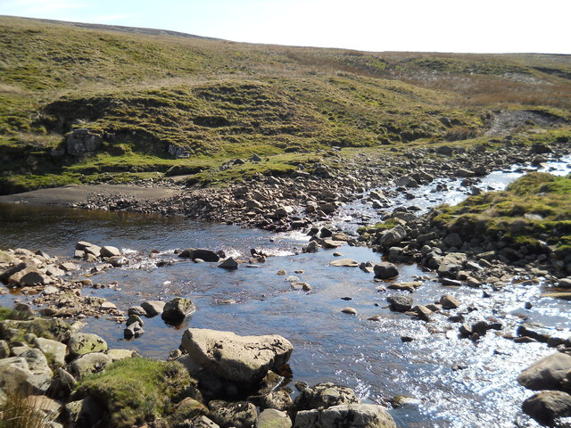
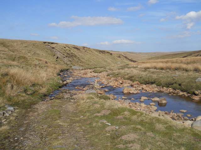
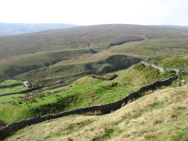
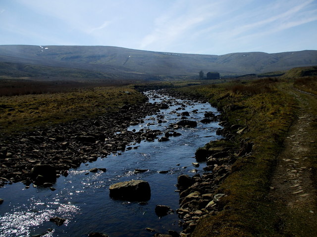
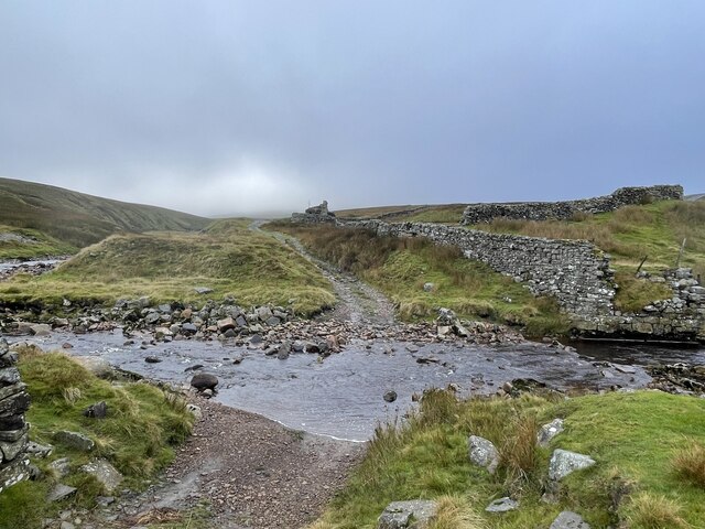
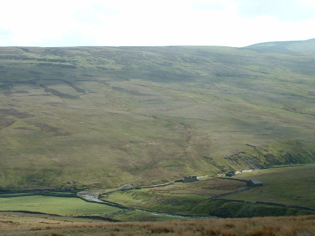
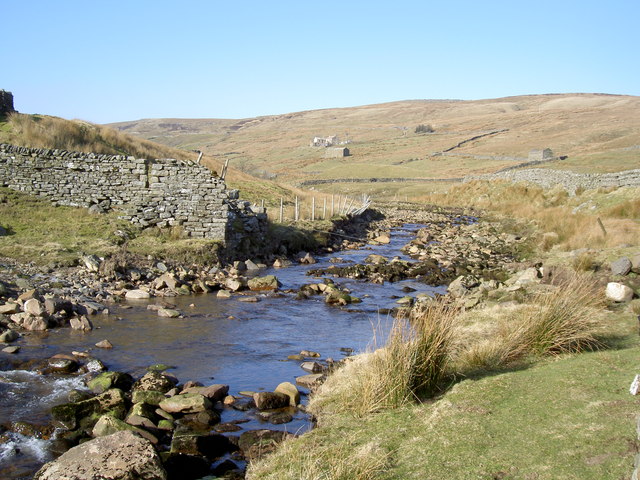
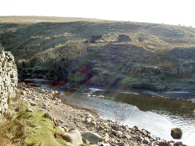
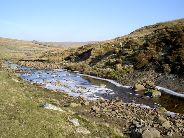
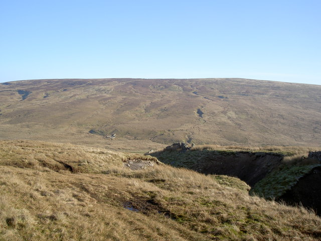
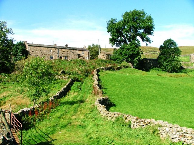
Covering an expansive area, Sleddale Pasture encompasses rolling hills, verdant meadows, and charming villages. The landscape is characterized by its undulating terrain and vibrant greenery, which provides a haven for numerous species of flora and fauna.
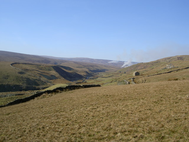
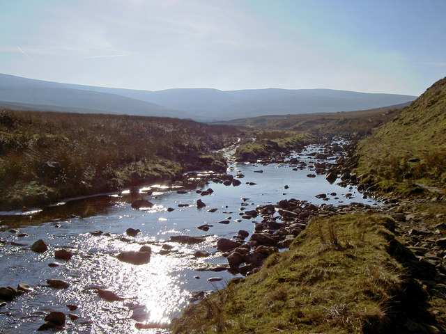
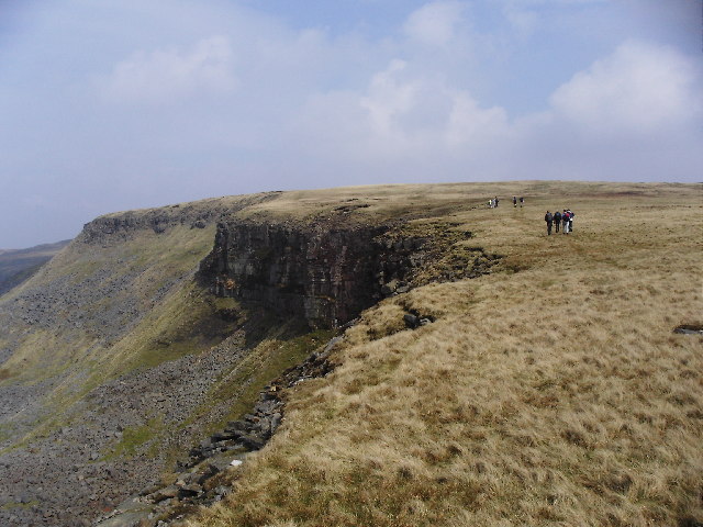
The Yorkshire Downs, which form the eastern boundary of Sleddale Pasture, offer breathtaking vistas of the surrounding countryside. Visitors can expect to witness sweeping views of patchwork fields, grazing livestock, and scattered farmhouses. The area is a haven for hikers and nature enthusiasts, with an extensive network of trails weaving through the Downs, allowing them to explore the stunning scenery on foot.
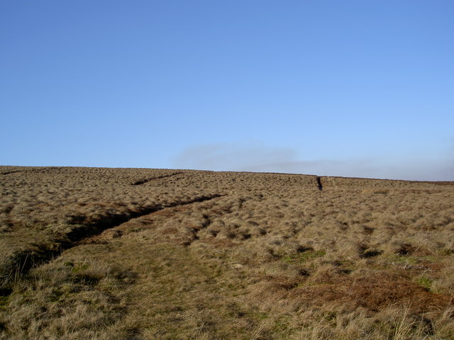
To the west, Sleddale Pasture merges seamlessly with vast Moorland, characterized by its rugged and wild beauty. This untamed landscape is dotted with heather-covered hills and expansive open spaces, providing ample opportunities for outdoor activities such as bird watching and mountain biking.
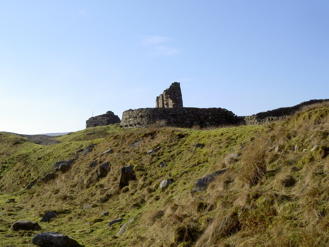
Furthermore, the region is home to a rich history, with ancient stone circles and burial mounds scattered throughout the area. These archaeological remnants offer a glimpse into the past and add an additional layer of intrigue to Sleddale Pasture.
Overall, Sleddale Pasture is a captivating destination that showcases the natural splendor of Yorkshire. Whether visitors seek tranquility, outdoor adventure, or a deeper connection to history, this region offers a diverse range of experiences that are sure to leave a lasting impression.
If you have any feedback on the listing, please let us know in the comments section below.
Sleddale Pasture Images
Images are sourced within 2km of 54.391844/-2.2462307 or Grid Reference SD8499. Thanks to Geograph Open Source API. All images are credited.


Sleddale Pasture is located at Grid Ref: SD8499 (Lat: 54.391844, Lng: -2.2462307)
Division: North Riding
Administrative County: North Yorkshire
District: Richmondshire
Police Authority: North Yorkshire
What 3 Words
///preparing.addicted.engulfing. Near Kirkby Stephen, Cumbria
Nearby Locations
Related Wikis

Great Shunner Fell
Great Shunner Fell is the third highest mountain in the Yorkshire Dales, North Yorkshire, England, and the highest point in Wensleydale; at 716 metres...

Birkdale, North Yorkshire
Birkdale (sometimes written out as Birk Dale) is a dale in the Yorkshire Dales National Park, in North Yorkshire, England. It lies at the far western end...

Vale of Eden
The Vale of Eden is formed by the course of the River Eden, one of the major rivers of Northwest England. It is however of much greater extent than the...

Hugh Seat
Hugh Seat is a mountain, or more accurately a fell, in Mallerstang on the eastern edge of Cumbria, England. It lies on the border between Cumbria and North...

Gregory Chapel
Gregory Chapel is one of the high points of the fells on the border between Cumbria and North Yorkshire. The summit is marked by a nearby sheep shelter...
High Seat (Yorkshire Dales)
High Seat is a fell in the dale of Mallerstang, Cumbria. With a summit at 709 metres (2,326 ft), it is the fourth highest fell in the Yorkshire Dales...

Wain Wath Force
Wain Wath Force is a waterfall on the River Swale in the Yorkshire Dales National Park, North Yorkshire, England. The falls are at grid reference NY883015...
Angram, Richmondshire
Angram is a hamlet in the Yorkshire Dales in the Richmondshire district of North Yorkshire, England. It is situated near to Keld to the north and Thwaite...
Nearby Amenities
Located within 500m of 54.391844,-2.2462307Have you been to Sleddale Pasture?
Leave your review of Sleddale Pasture below (or comments, questions and feedback).