Gloomy Cleuch
Valley in Roxburghshire
Scotland
Gloomy Cleuch
Gloomy Cleuch is a picturesque valley located in Roxburghshire, Scotland. Nestled amidst the serene and verdant landscape of the Scottish Borders, this valley is renowned for its natural beauty and tranquil atmosphere.
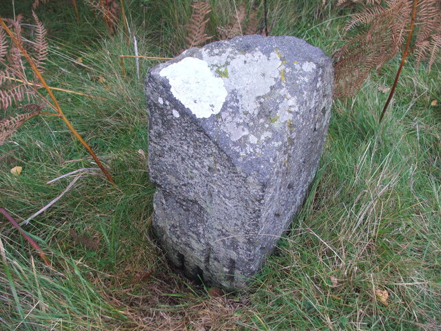
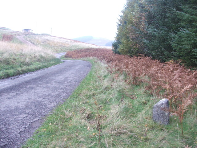
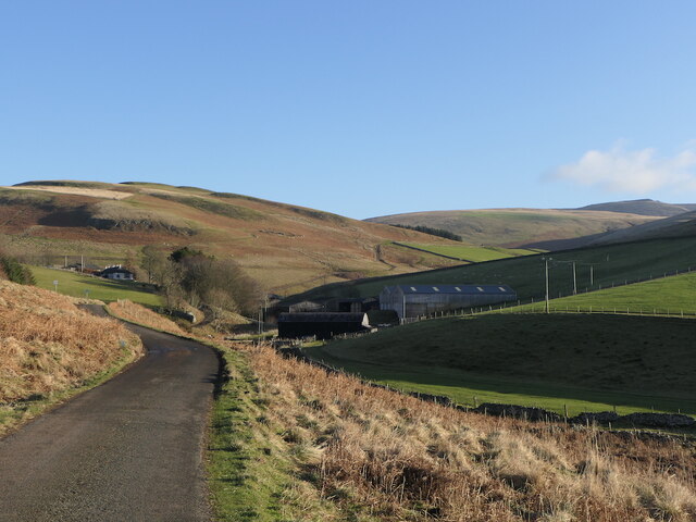
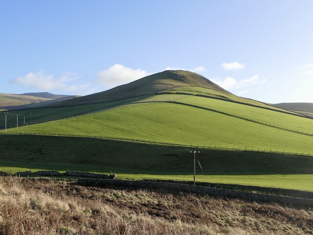
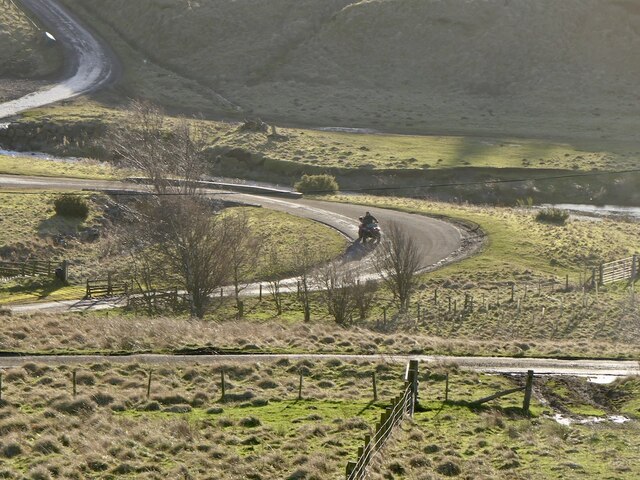
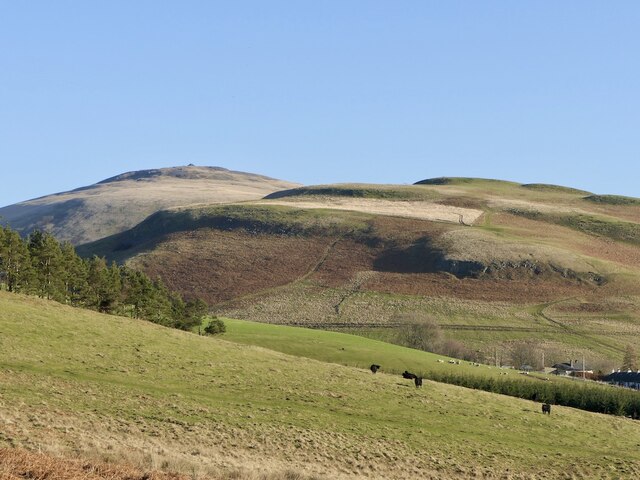
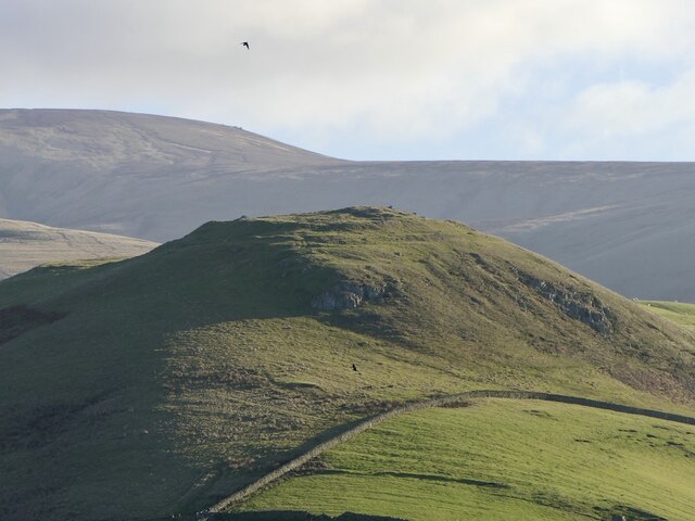
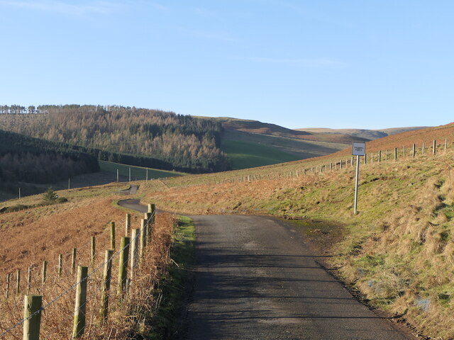
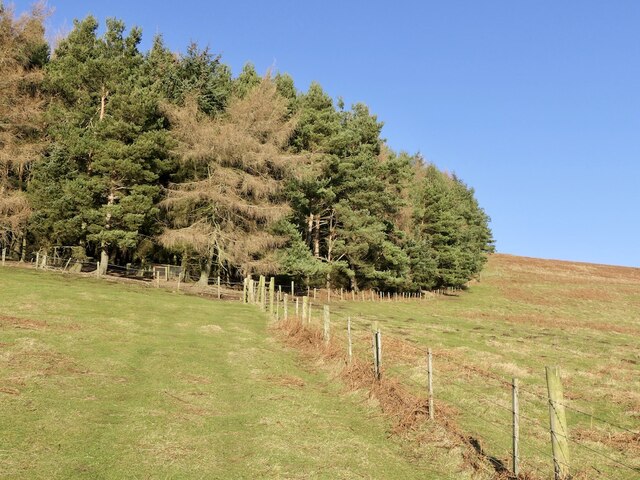
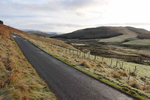
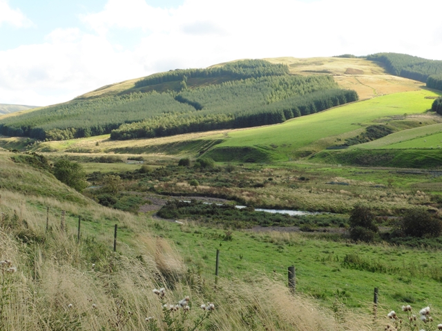
The valley is characterized by its rolling hills, lush green meadows, and meandering streams that gently flow through the landscape. Gloomy Cleuch is surrounded by dense forests, which adds to its enchanting appeal. The valley is blessed with a diverse range of flora and fauna, making it a haven for nature lovers and wildlife enthusiasts.
The name "Gloomy Cleuch" might evoke a sense of darkness or sadness, but it is quite the opposite. The valley is bathed in sunlight during the day, illuminating the breathtaking views and creating a warm and inviting ambiance. However, during misty mornings or twilight hours, the valley may take on a more mysterious and ethereal atmosphere, hence the name.
Gloomy Cleuch is a popular destination for outdoor activities such as hiking, cycling, and birdwatching. The valley offers numerous trails and paths that lead visitors through its breathtaking landscapes, providing ample opportunities to explore and discover the region's natural wonders. Additionally, the valley is home to a variety of bird species, including buzzards, kestrels, and owls, making it a haven for birdwatchers.
Overall, Gloomy Cleuch is a hidden gem in Roxburghshire, offering a serene and captivating experience for those who seek solace in nature's embrace.
If you have any feedback on the listing, please let us know in the comments section below.
Gloomy Cleuch Images
Images are sourced within 2km of 55.482193/-2.2470575 or Grid Reference NT8420. Thanks to Geograph Open Source API. All images are credited.


Gloomy Cleuch is located at Grid Ref: NT8420 (Lat: 55.482193, Lng: -2.2470575)
Unitary Authority: The Scottish Borders
Police Authority: The Lothians and Scottish Borders
What 3 Words
///rigs.lollipop.unfilled. Near Kirknewton, Northumberland
Nearby Locations
Related Wikis

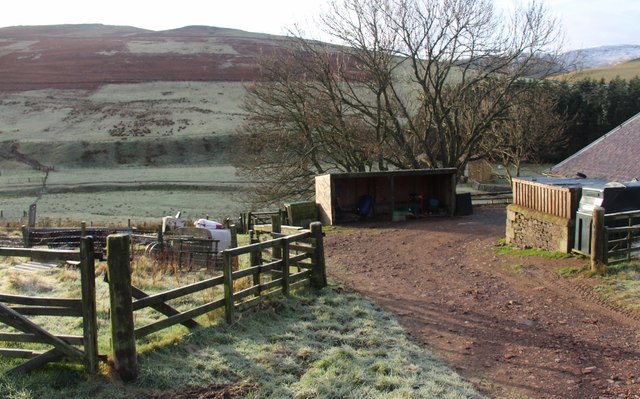
Mowhaugh
Mowhaugh is a hamlet and farm steading near the Calroust Burn and the Bowmont Water, near Morebattle, in the Scottish Borders area of Scotland, and in...

Windy Gyle
Windy Gyle is a mountain in the Cheviot Hills range, on the border between England and Scotland. Like the other hills in the area, it is rounded and grass...

Cheviot Hills
The Cheviot Hills (), or sometimes The Cheviots, are a range of uplands straddling the Anglo-Scottish border between Northumberland and the Scottish Borders...

The Cheviot
The Cheviot () is an extinct volcano and the highest summit in the Cheviot Hills and in the county of Northumberland. Located in the extreme north of England...
Nearby Amenities
Located within 500m of 55.482193,-2.2470575Have you been to Gloomy Cleuch?
Leave your review of Gloomy Cleuch below (or comments, questions and feedback).