Higgen Clough

Valley in Lancashire Pendle

England

Higgen Clough

Back of Alice Nutter Statue The commemorative statue by David Palmer, to mark the 400th anniversary of the Pendle Witch Trials. Alice Nutter is in chains but this cloak on her back looks like an instrument of torture
Back of Alice Nutter Statue Credit: Kevin Waterhouse

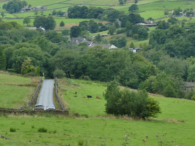
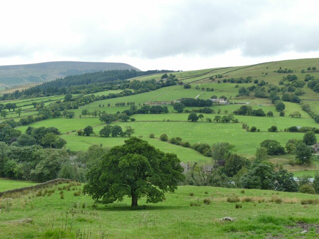
Higgen Clough, located in the county of Lancashire, England, is a picturesque valley renowned for its natural beauty and tranquil surroundings. Nestled in the foothills of the Pennines, this idyllic valley offers a serene escape from the hustle and bustle of urban life.

The valley is characterized by its rolling green hills, meandering streams, and dense woodlands, providing a haven for wildlife and outdoor enthusiasts alike. The area boasts an abundance of flora and fauna, with various species of birds, mammals, and plants calling Higgen Clough their home.

The valley is also known for its rich history and cultural heritage. Evidence of ancient settlements and historic landmarks can be found throughout the area, including remnants of medieval farming and early industrial activity. Visitors can explore these historical sites, immersing themselves in the fascinating stories of the past.

Higgen Clough offers a range of recreational activities for nature lovers. The valley is crisscrossed by a network of walking trails, allowing visitors to explore its scenic beauty on foot. The trails wind through woodlands, ascend gentle slopes, and lead to breathtaking viewpoints, providing ample opportunities for hiking and photography.

In addition, the valley is a popular spot for picnicking, fishing, and wildlife spotting. Anglers can cast their lines into the crystal-clear streams teeming with trout, while nature enthusiasts can observe the diverse array of birds and animals that inhabit the area.

Overall, Higgen Clough is a true gem of Lancashire, offering visitors a chance to connect with nature, immerse themselves in history, and experience the tranquility of this enchanting valley.

If you have any feedback on the listing, please let us know in the comments section below.

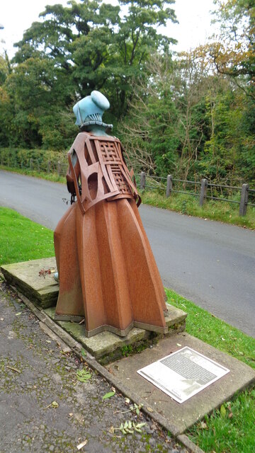
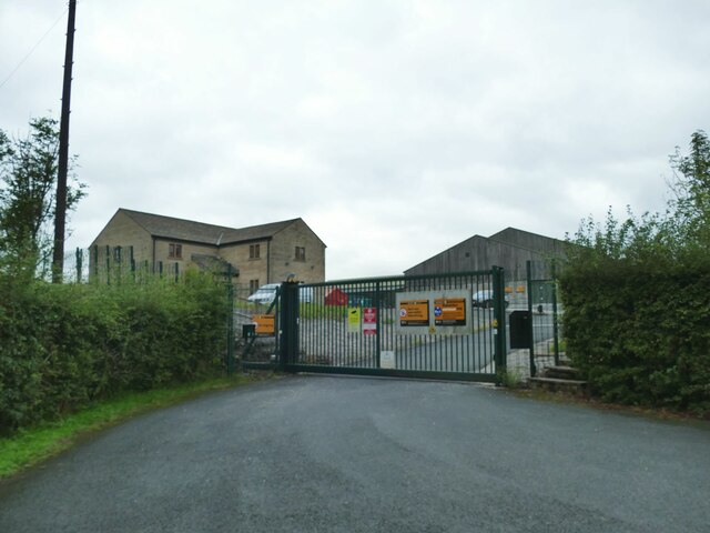
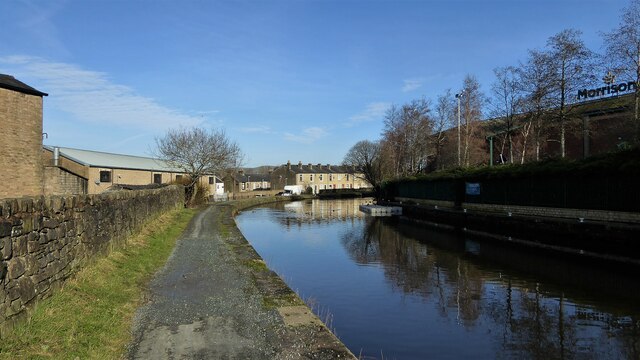
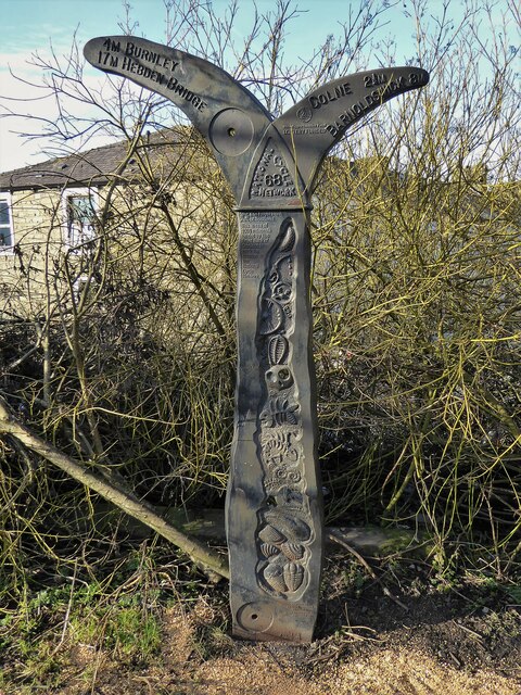
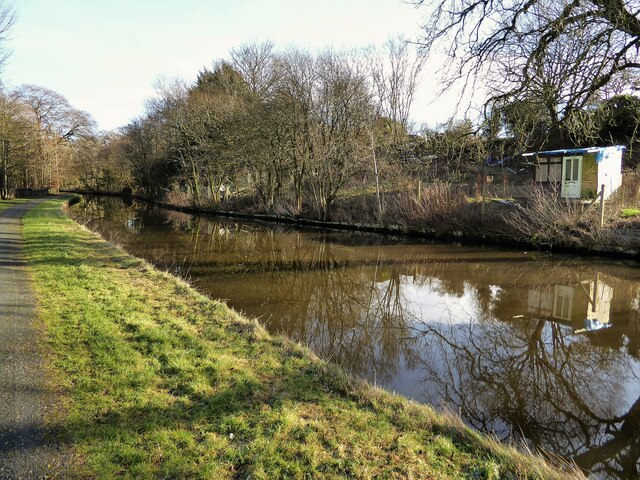
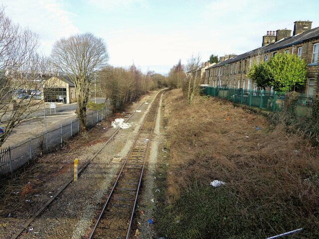
Higgen Clough Images

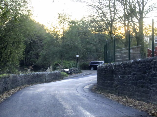
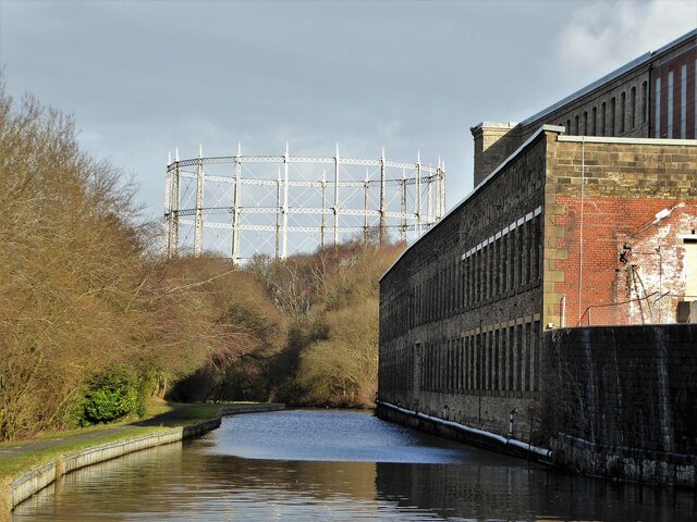
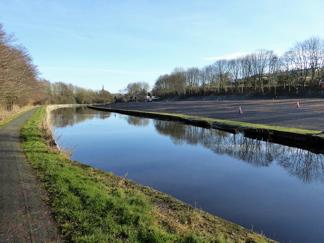
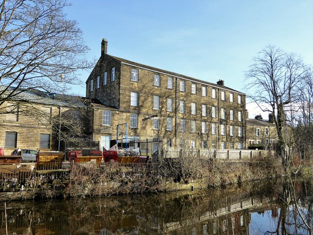
Images are sourced within 2km of 53.841515/-2.2404642 or Grid Reference SD8438. Thanks to Geograph Open Source API. All images are credited.

Back of Alice Nutter Statue The commemorative statue by David Palmer, to mark the 400th anniversary of the Pendle Witch Trials. Alice Nutter is in chains but this cloak on her back looks like an instrument of torture
Back of Alice Nutter Statue
The commemorative statue by David Palmer, to mark the 400th anniversary of the Pendle Witch Trials. Alice Nutter is in chains but this cloak on her back looks like an instrument of torture
Ridgaling Water Treatment Works, Barrowford United Utilities opened this treatment works in 2007 to replace a smaller one at Barley. The principal contractor was KMI and the cost a little under £20 million. The treatment works was designed to look like a farmhouse building with associated barns; only the signs on the gate give away its true nature.

Source: <span class="nowrap"><a title="https://www.lancashiretelegraph.co.uk/news/1528549.19m-water-plant-tap/" rel="nofollow ugc noopener" href="https://www.lancashiretelegraph.co.uk/news/1528549.19m-water-plant-tap/">Link</a><img style="margin-left:2px;" alt="External link" title="External link - shift click to open in new window" src="https://s1.geograph.org.uk/img/external.png" width="10" height="10"/></span>
Ridgaling Water Treatment Works, Barrowford
United Utilities opened this treatment works in 2007 to replace a smaller one at Barley. The principal contractor was KMI and the cost a little under £20 million. The treatment works was designed to look like a farmhouse building with associated barns; only the signs on the gate give away its true nature. Source: LinkExternal link
Passing cars on Pasture Lane The hill has some steep sections and tight bends; these two cars met and passed slowly just below the upper steep section.
Passing cars on Pasture Lane
The hill has some steep sections and tight bends; these two cars met and passed slowly just below the upper steep section.
View towards Pendle from the top of Pasture Lane
The Bay Horse Inn in Roughlee
Blacko Bar Road by Roughlee Primary School
Blacko Bar Lane leaving Roughlee
Barley New Road near Roughlee
Brierfield Mills by the canal The canal is the Leeds & Liverpool and on the skyline is the supporting structure for a gas holder. The mills are being converted to residential and enterprise uses
Brierfield Mills by the canal
The canal is the Leeds & Liverpool and on the skyline is the supporting structure for a gas holder. The mills are being converted to residential and enterprise uses
Cleared land by the canal Just after the A682 Lindred Bridge, there is a long strip of land up to Alder House that appears to be recently developed. The canal is the Leeds & Liverpool.
Cleared land by the canal
Just after the A682 Lindred Bridge, there is a long strip of land up to Alder House that appears to be recently developed. The canal is the Leeds & Liverpool.
Lomeshaye Bridge Mill This mill carries a date stone of 1899 and appears to have a small bell tower on the roof line. The water is the Leeds & Liverpool canal
Lomeshaye Bridge Mill
This mill carries a date stone of 1899 and appears to have a small bell tower on the roof line. The water is the Leeds & Liverpool canal
Leeds & Liverpool Canal On the towpath ahead is a National Cycle Network Milestone for this route No.68
Leeds & Liverpool Canal
On the towpath ahead is a National Cycle Network Milestone for this route No.68
National Cycle Network Milestone On route No.68 by the Leeds & Liverpool Canal
National Cycle Network Milestone
On route No.68 by the Leeds & Liverpool Canal
Allotments by the canal The Leeds & Liverpool Canal north of Hodge Bank Bridge, Nelson
Allotments by the canal
The Leeds & Liverpool Canal north of Hodge Bank Bridge, Nelson
Railway track towards Colne View from the footbridge at the end of Bridge Street which was built to span several track lines and not just the one that survives.
Railway track towards Colne
View from the footbridge at the end of Bridge Street which was built to span several track lines and not just the one that survives.
Hilltop feeding Overlooking the valley of Pendle Water just below Roughlee. Pendle Hill is behind in cloud.
Hilltop feeding
Overlooking the valley of Pendle Water just below Roughlee. Pendle Hill is behind in cloud.
Farm track off Pasture Lane The track is well made up as it services not only two dairy farms but also Pendle Narrowboats. The hilltop location is perhaps a surprising site for the latter. The village of Roughlee is down the hill on the right.
Farm track off Pasture Lane
The track is well made up as it services not only two dairy farms but also Pendle Narrowboats. The hilltop location is perhaps a surprising site for the latter. The village of Roughlee is down the hill on the right.
The Bay Horse Inn, Roughlee Sadly, now closed and offered for sale. The pub has, it seems, gone the way of many a country hostelry in recent years.
The Bay Horse Inn, Roughlee
Sadly, now closed and offered for sale. The pub has, it seems, gone the way of many a country hostelry in recent years.
Show me another place!

Higgen Clough is located at Grid Ref: SD8438 (Lat: 53.841515, Lng: -2.2404642)

Administrative County: Lancashire

District: Pendle

Police Authority: Lancashire

What 3 Words

///grain.village.massaged. Near Barrowford, Lancashire

Nearby Locations

Carr Hall Higgen Clough

Related Wikis

Wheatley Lane, Lancashire

Wheatley Lane is a village in Pendle, Lancashire, England. It is close to Nelson, Barrowford and Burnley. It lies to the north of the A6068 road, known...

Nelson F.C.

Nelson Football Club, colloquially known as Nelson F.C. or simply Nelson, is an English football club based in Nelson, Lancashire. Originally established...

Seedhill Football Ground

The Seedhill Football Ground was a football stadium in Nelson, Lancashire. It was the home of various incarnations of current North West Counties League...

Seedhill Cricket Ground

The Seedhill Cricket Ground is a small cricket stadium in the English town of Nelson, Lancashire. It is the home of Lancashire League cricket team Nelson...

Nearby Amenities

Located within 500m of 53.841515,-2.2404642
Post Box
Lat/Long: 53.8447545/-2.2375741
Power: tower
Lat/Long: 53.8431591/-2.2467347
Power: tower
Lat/Long: 53.8453081/-2.2435804
Bus Stop
Ye Old Sparrowhawk
Naptan AtcoCode: 250015197
Naptan NaptanCode: lanapgpw
Public Transport: platform
Lat/Long: 53.8423301/-2.2458007
Bus Stop
Ye Old Sparrowhawk
Public Transport: platform
Lat/Long: 53.8426005/-2.245287
Bus Stop
Sandyhall Lane
Naptan AtcoCode: 250010237
Naptan NaptanCode: lanadgma
Public Transport: platform
Lat/Long: 53.8443846/-2.2377666
The data included in this document is from www.openstreetmap.org. The data is made available under ODbL.

Have you been to Higgen Clough?

Leave your review of Higgen Clough below (or comments, questions and feedback).