Blackedge Bottom
Valley in Westmorland Eden
England
Blackedge Bottom
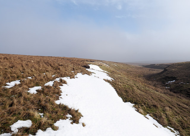
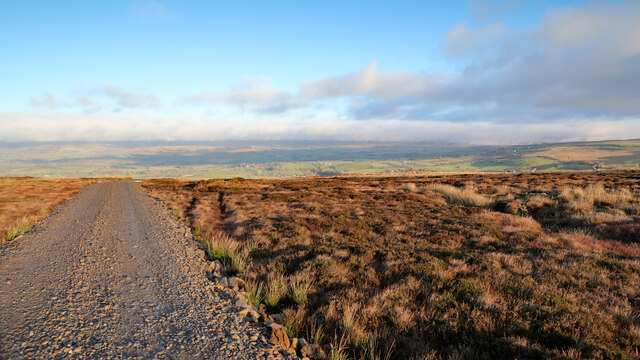
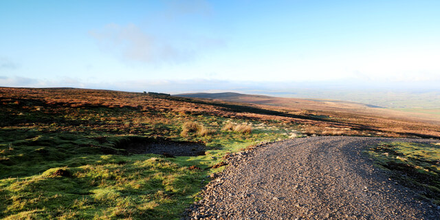
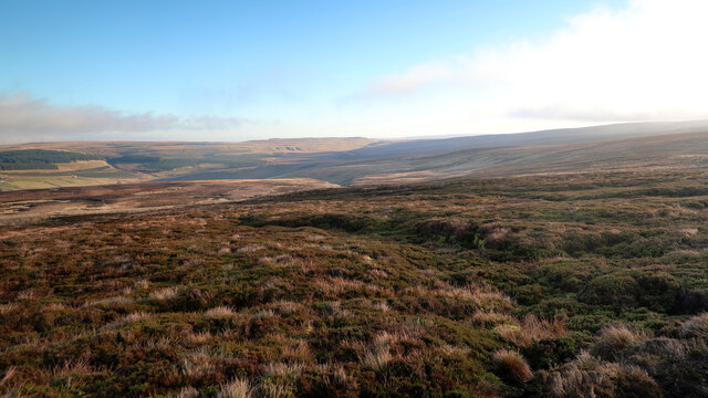
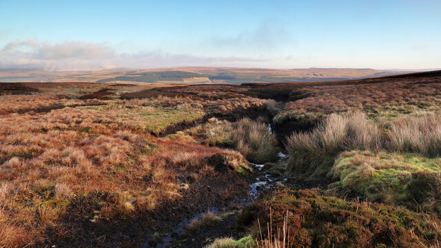
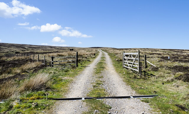
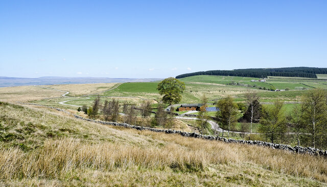
Blackedge Bottom is a picturesque valley located in Westmorland, a historic county in the northwest region of England. Nestled amidst the stunning landscape of the Lake District National Park, this area is renowned for its natural beauty and tranquil setting.
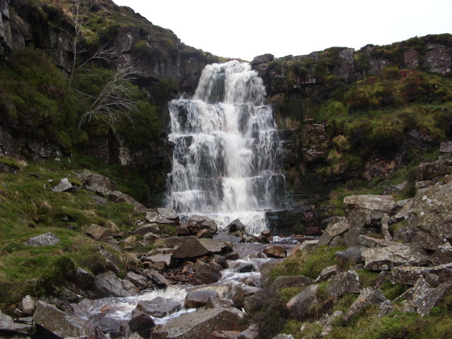
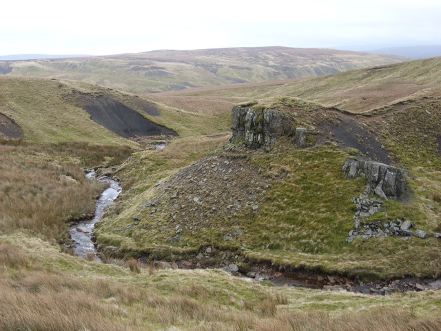
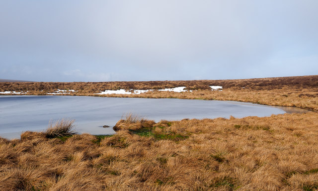
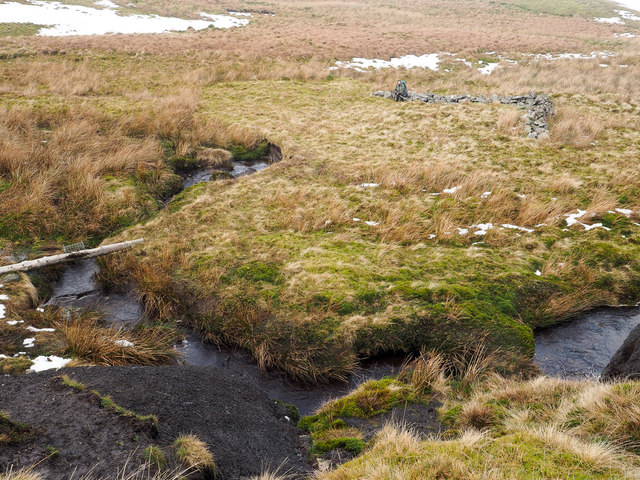
The valley is characterized by its rolling hills, lush green meadows, and a meandering river that flows through its heart. The river, known as the Blackedge Beck, adds to the charm of the valley as it cascades down multiple waterfalls, creating a soothing soundtrack for visitors.
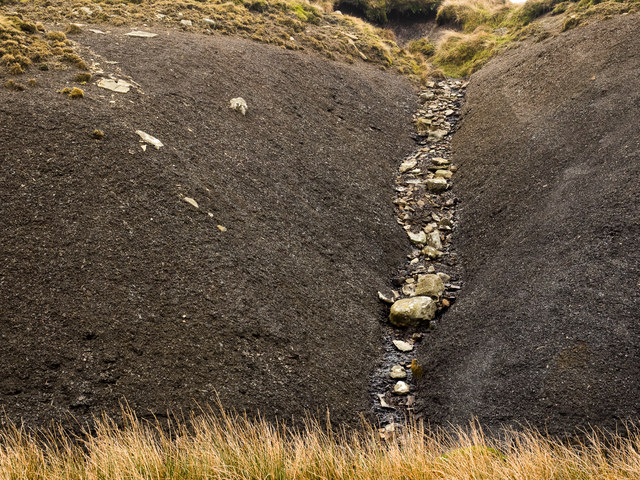
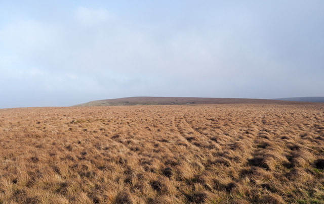
The vegetation in Blackedge Bottom is diverse and abundant, with a variety of plant species thriving in the fertile soil. From colorful wildflowers to towering trees, the valley is a haven for nature enthusiasts and hikers. The area is also home to a range of wildlife, including rabbits, foxes, and various bird species, providing a glimpse into the region's biodiversity.
For those seeking outdoor activities, Blackedge Bottom offers numerous opportunities for exploration and adventure. Hiking trails crisscross the valley, providing breathtaking views of the surrounding mountains and valleys. Visitors can also enjoy picnicking by the riverbank, fishing in the beck, or simply immersing themselves in the peaceful ambiance of the countryside.
Blackedge Bottom is a hidden gem in Westmorland, offering a serene escape from the hustle and bustle of modern life. Its unspoiled natural beauty and tranquil atmosphere make it a must-visit destination for anyone seeking solace in nature's embrace.
If you have any feedback on the listing, please let us know in the comments section below.
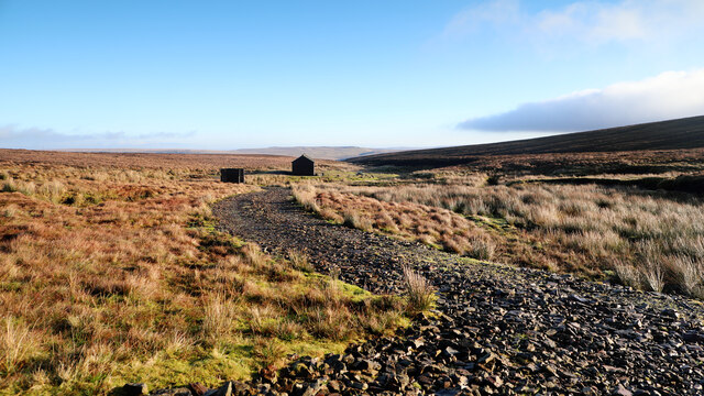
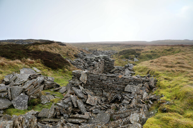
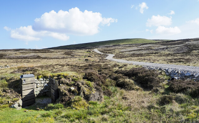
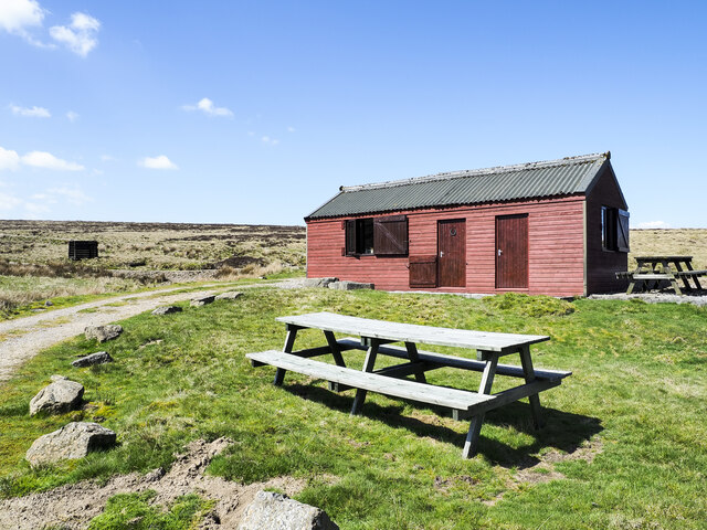
Blackedge Bottom Images
Images are sourced within 2km of 54.46645/-2.2442258 or Grid Reference NY8407. Thanks to Geograph Open Source API. All images are credited.
Blackedge Bottom is located at Grid Ref: NY8407 (Lat: 54.46645, Lng: -2.2442258)
Administrative County: Cumbria
District: Eden
Police Authority: Cumbria
What 3 Words
///indicates.highbrow.pipeline. Near Kirkby Stephen, Cumbria
Nearby Locations
Related Wikis
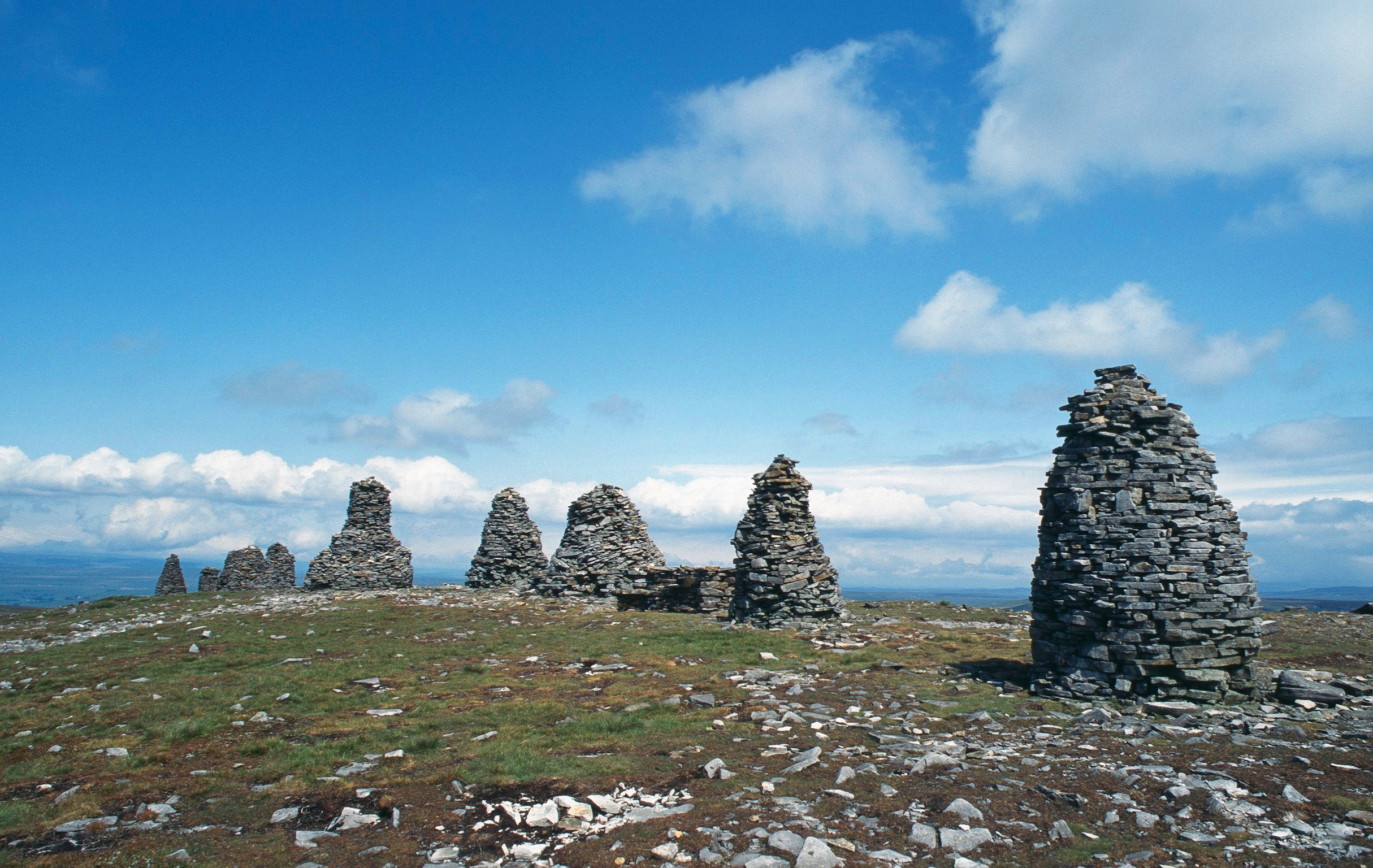
Nine Standards Rigg
Nine Standards Rigg is the summit of Hartley Fell in the Pennine Hills of England. It lies near the boundary between Cumbria and North Yorkshire, a few...

Belah Viaduct
The Belah Viaduct was a railway viaduct on the South Durham and Lancashire Union Railway, crossing the River Belah, in Cumbria, England, about 1 mile...

Barras railway station
Barras railway station was situated on the South Durham & Lancashire Union Railway between Barnard Castle and Kirkby Stephen East. == History == The station...

Barras, Cumbria
Barras is a hamlet close to the River Belah, about 4 miles (6 kilometres) south-east of Brough, Cumbria, England. Until the creation of the new county...

Snowdrift at Bleath Gill
Snowdrift at Bleath Gill is a 1955 British Transport Film documentary directed by Kenneth Fairbairn. The 10-minute-long film presents a first-hand account...

Tan Hill, North Yorkshire
Tan Hill (NY896067) is a high point on the Pennine Way in the Richmondshire district of North Yorkshire, England. It lies north of Keld in the civil parish...

Birkdale, North Yorkshire
Birkdale (sometimes written out as Birk Dale) is a dale in the Yorkshire Dales National Park, in North Yorkshire, England. It lies at the far western end...
Kaber, Cumbria
Kaber is a village and civil parish in the Eden District of Cumbria, England. == Location and topography == The village is located about 2 miles (3.2 km...
Nearby Amenities
Located within 500m of 54.46645,-2.2442258Have you been to Blackedge Bottom?
Leave your review of Blackedge Bottom below (or comments, questions and feedback).