Crock Cleuch

Valley in Roxburghshire

Scotland

Crock Cleuch

Calroust Common The Street, an old drove road crosses Calroust Common.
Calroust Common Credit: Richard Webb

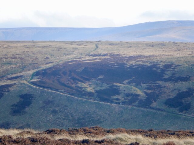
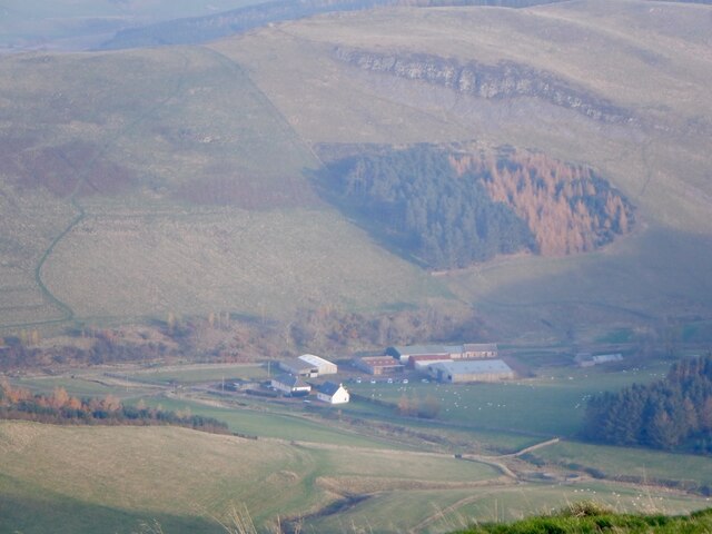
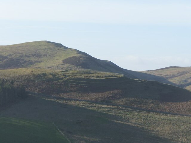
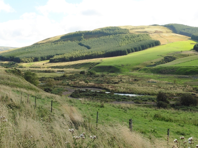
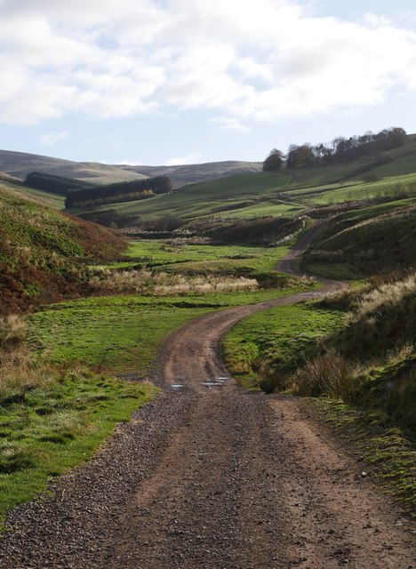
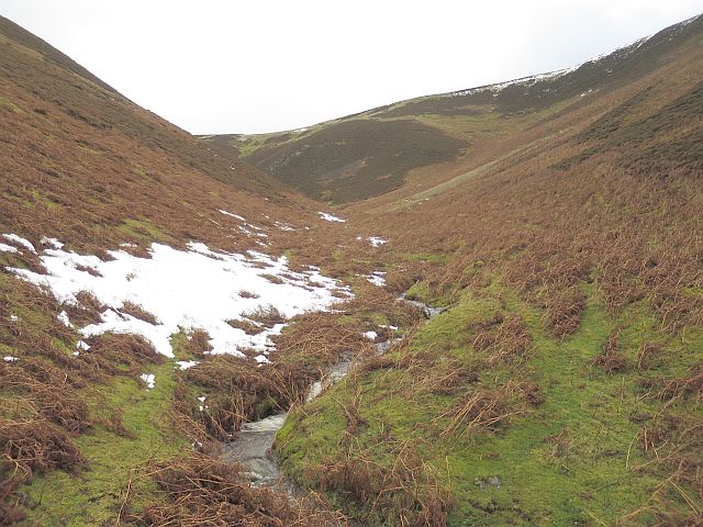
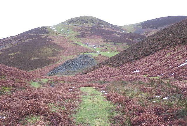
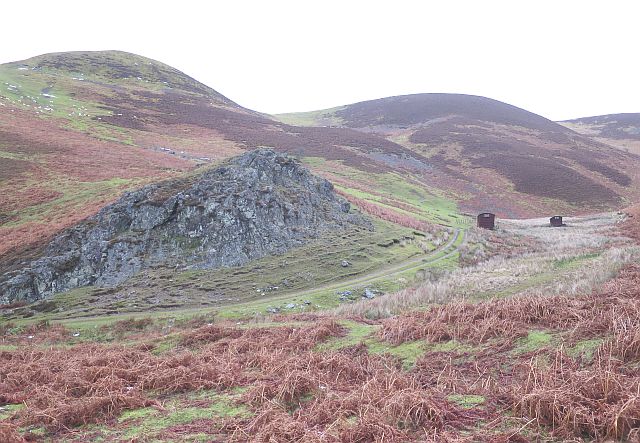
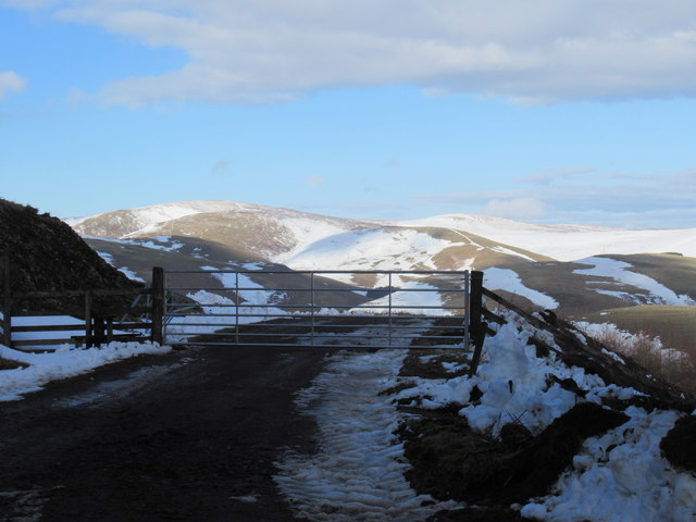
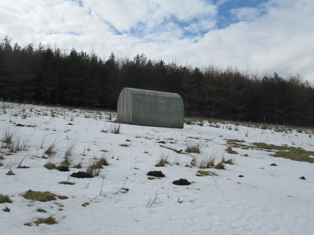
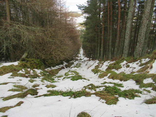
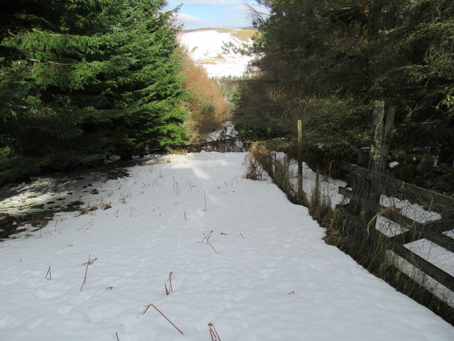
Crock Cleuch is a picturesque valley located in the region of Roxburghshire, in the southern part of Scotland. This valley is known for its stunning natural beauty, characterized by rolling hills, lush green meadows, and a meandering river that runs through it.

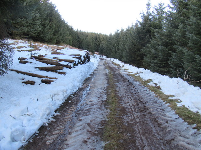
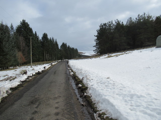
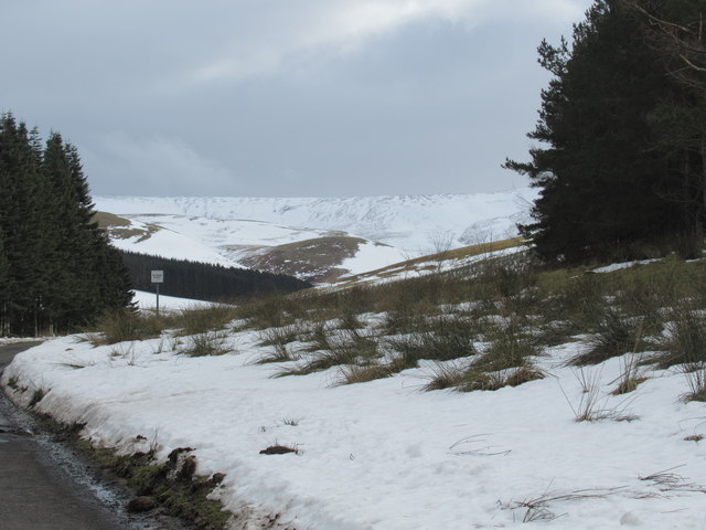
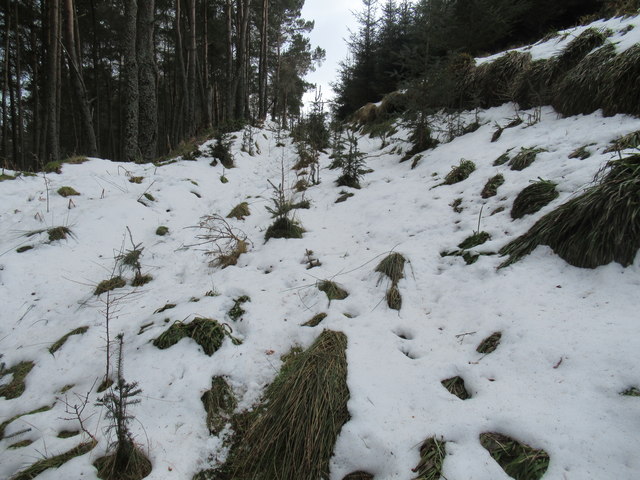
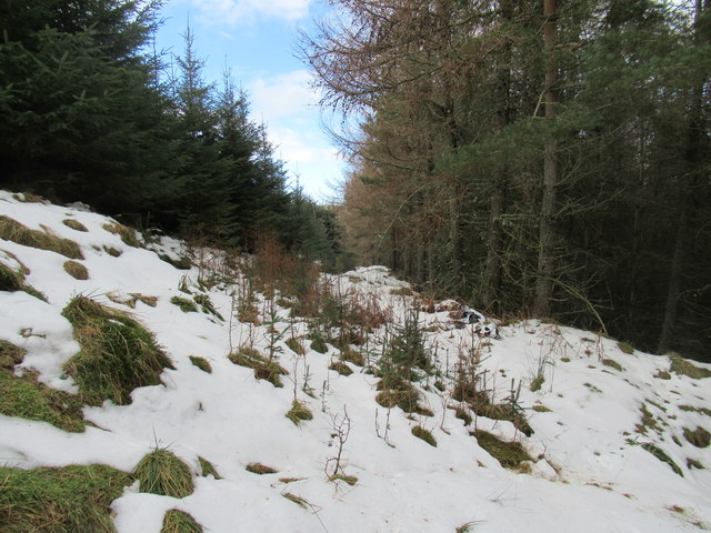
The valley is situated within the Scottish Borders, an area renowned for its scenic landscapes and rich history. Crock Cleuch is surrounded by several other valleys, creating a network of breathtaking vistas and opportunities for outdoor activities such as hiking and nature exploration.

The river that flows through Crock Cleuch is a tributary of the River Teviot, which eventually joins the River Tweed. This waterway provides a serene and tranquil atmosphere, making it a popular spot for fishing and boating enthusiasts.

The valley is also home to a diverse array of flora and fauna, including various species of birds, wildflowers, and trees. These natural inhabitants contribute to the overall charm and tranquility of the area.

Crock Cleuch is a haven for those seeking a peaceful escape from the hustle and bustle of urban life. Its idyllic setting and unspoiled beauty make it a perfect destination for nature lovers and outdoor enthusiasts. Whether it's a leisurely stroll along the riverbanks or a challenging hike up the surrounding hills, Crock Cleuch offers something for everyone who appreciates the natural wonders of the Scottish countryside.

If you have any feedback on the listing, please let us know in the comments section below.
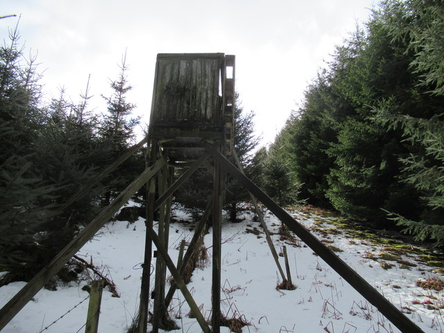
Crock Cleuch Images

Images are sourced within 2km of 55.451879/-2.2628522 or Grid Reference NT8317. Thanks to Geograph Open Source API. All images are credited.

Calroust Common The Street, an old drove road crosses Calroust Common.
Calroust Common
The Street, an old drove road crosses Calroust Common.
Calroust View from Craik Moor.
Calroust
View from Craik Moor.
The Castles One of the many earthworks and hill forts along the Bowmont Water.
The Castles
One of the many earthworks and hill forts along the Bowmont Water.
Swindon Haugh and the forested slopes of Swindon Hill In the upper Bowmont valley.
Swindon Haugh and the forested slopes of Swindon Hill
In the upper Bowmont valley.
The track to Calroust Hopehead A track heading into one of the many small valleys penetrating the Cheviot range.
The track to Calroust Hopehead
A track heading into one of the many small valleys penetrating the Cheviot range.
Little Sund Hope A side valley, still with drifts of wet snow following a heavy fall a few days ago.
Little Sund Hope
A side valley, still with drifts of wet snow following a heavy fall a few days ago.
Little Sund Hope Looking down the valley to where the burn merges with Muckle Sund Hope, below one of the few outcrops of bedrock in the vicinity. Beyond it is Greenbrough Hill, with a large game bird feeding station on the lower grassy slope, just above a fank on top of the outcrop.
Little Sund Hope
Looking down the valley to where the burn merges with Muckle Sund Hope, below one of the few outcrops of bedrock in the vicinity. Beyond it is Greenbrough Hill, with a large game bird feeding station on the lower grassy slope, just above a fank on top of the outcrop.
Muckle Sund Hope Muckle Sund Hope comes in from the right, past two of the numerous old railway waggons in use as stores or shelters in these hills. Greenbrough Hill is at upper left, and the only sizeable outcrop of bare rock in the vicinity is at lower left.
Muckle Sund Hope
Muckle Sund Hope comes in from the right, past two of the numerous old railway waggons in use as stores or shelters in these hills. Greenbrough Hill is at upper left, and the only sizeable outcrop of bare rock in the vicinity is at lower left.
Gateway out of forest near Cocklawfoot, Kelso Snowfields on western aspects courtesy of 'The Beast from the East'- a week or so of bitter easterlies out of Siberia so dubbed by the media. A reversal of the jet stream consequent to sudden warming at stratospheric level (at 30km there was a 50c temperature rise) saw Siberian air push across the North Atlantic as far as Greenland.
Gateway out of forest near Cocklawfoot, Kelso
Snowfields on western aspects courtesy of 'The Beast from the East'- a week or so of bitter easterlies out of Siberia so dubbed by the media. A reversal of the jet stream consequent to sudden warming at stratospheric level (at 30km there was a 50c temperature rise) saw Siberian air push across the North Atlantic as far as Greenland.
Forest track at Blackcock Hole by Cocklawfoot, Kelso Snow newly cleared - timber operations imminent!
Forest track at Blackcock Hole by Cocklawfoot, Kelso
Snow newly cleared - timber operations imminent!
Snowy road to Cocklawfoot, Kelso
View south from snowy road near Cocklawfoot, Kelso
Small hayshed near Cocklawfoot, Kelso
Firebreak in Swindon Hill plantation near Cocklawfoot, Kelso
Shooting hide near Cocklawfoot, Kelso
Firebreak below shooting hide near Cocklawfoot, Kelso
Show me another place!

Crock Cleuch is located at Grid Ref: NT8317 (Lat: 55.451879, Lng: -2.2628522)

Unitary Authority: The Scottish Borders

Police Authority: The Lothians and Scottish Borders

What 3 Words

///commented.makes.craziest. Near Kirknewton, Northumberland

Nearby Locations

Crock Cleuch

Related Wikis

Windy Gyle

Windy Gyle is a mountain in the Cheviot Hills range, on the border between England and Scotland. Like the other hills in the area, it is rounded and grass...

Mowhaugh

Mowhaugh is a hamlet and farm steading near the Calroust Burn and the Bowmont Water, near Morebattle, in the Scottish Borders area of Scotland, and in...

Hownam

Hownam or Hounam is a small village and parish situated 8 miles east of Jedburgh in the Scottish Borders area of Scotland, near the Anglo-Scottish border...

Barrow Burn Meadows

Barrow Burn Meadows is a Site of Special Scientific Interest (SSSI) in north Northumberland, England. The site is a species-rich hay meadow of a sort now...

Cheviot Hills

The Cheviot Hills (), or sometimes The Cheviots, are a range of uplands straddling the Anglo-Scottish border between Northumberland and the Scottish Borders...

Barrow Burn

Barrowburn is a hamlet in Upper Coquetdale in the county of Northumberland, England. It comprises a working farm with associated buildings and two holiday...

The Cheviot

The Cheviot () is an extinct volcano and the highest summit in the Cheviot Hills and in the county of Northumberland. Located in the extreme north of England...

Pennymuir Roman camps

The Pennymuir Roman camps are situated southeast of Jedburgh in the Scottish Borders area of Scotland, near the Anglo-Scottish border, in the former Roxburghshire...

Nearby Amenities

Located within 500m of 55.451879,-2.2628522
Crock Law
Natural: peak
Lat/Long: 55.4558591/-2.2625951
The data included in this document is from www.openstreetmap.org. The data is made available under ODbL.

Have you been to Crock Cleuch?

Leave your review of Crock Cleuch below (or comments, questions and feedback).