Crawberry Cleugh
Valley in Northumberland
England
Crawberry Cleugh
Crawberry Cleugh is a picturesque valley located in the county of Northumberland, England. Situated in the northern part of the county, this charming valley is known for its stunning natural beauty and tranquil atmosphere. The name "Crawberry Cleugh" is derived from the Old Norse word "krafla," meaning "to claw," highlighting the ruggedness of the landscape.
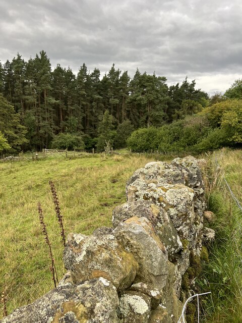
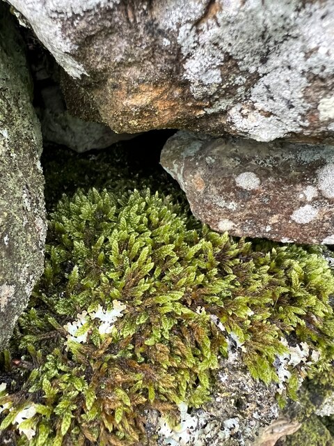
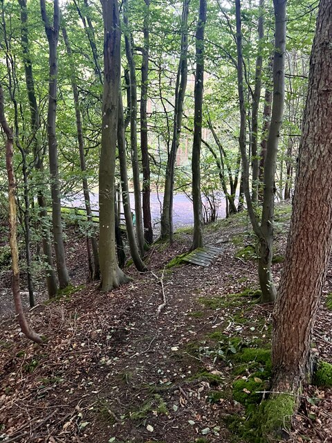
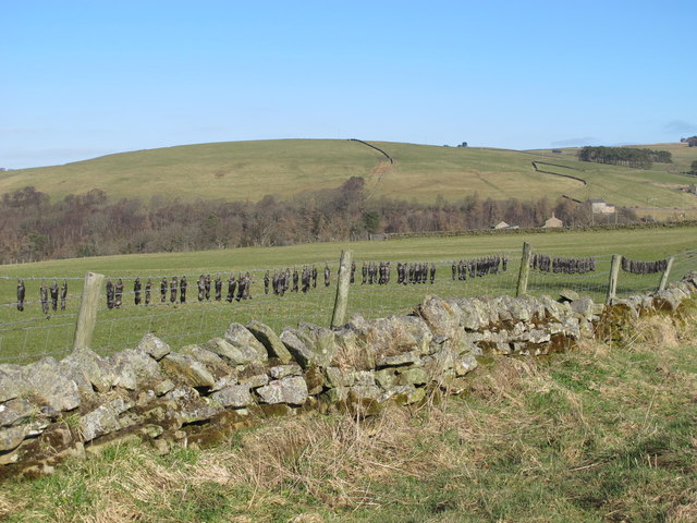
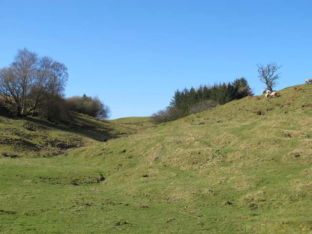
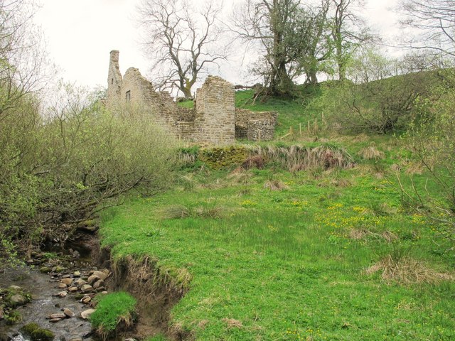
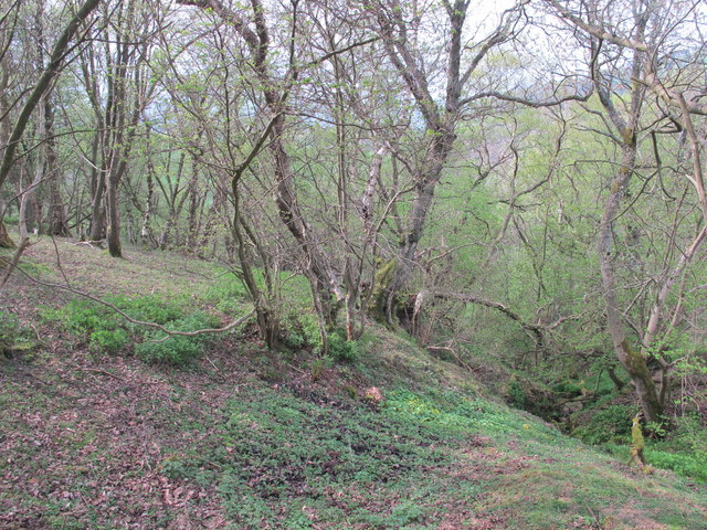
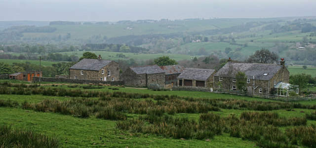
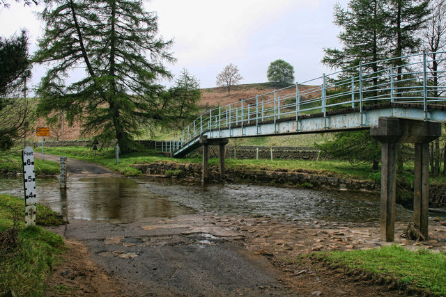
The valley is characterized by rolling hills covered in lush greenery, with the meandering Crawberry Burn running through its center. The burn originates in the Cheviot Hills, which dominate the western side of the valley, and eventually joins the River Till. The surrounding countryside is dotted with small, picturesque farms and scattered woodland, creating a delightful rural setting.
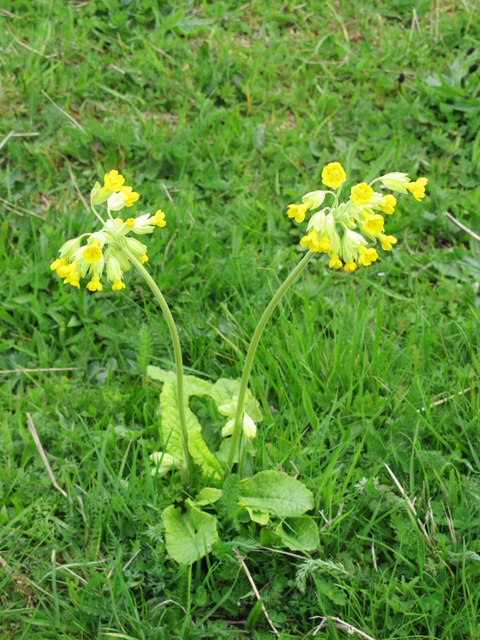
Crawberry Cleugh is a haven for outdoor enthusiasts, offering a range of activities such as hiking, cycling, and birdwatching. The valley is home to various species of birds, including curlews, lapwings, and skylarks, making it a popular spot for birdwatchers. Additionally, the valley's network of footpaths and bridleways provides ample opportunities for exploration and enjoyment of the stunning scenery.
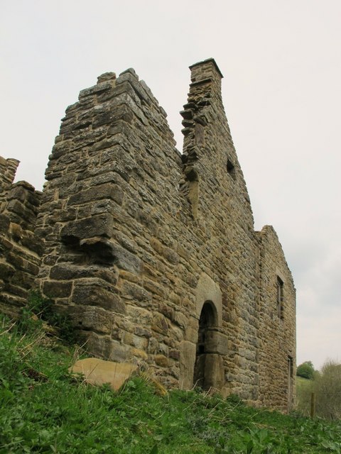
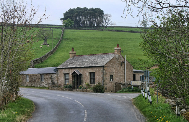
While Crawberry Cleugh is primarily a rural area, there are a few nearby villages that offer amenities such as accommodation, pubs, and local shops. The valley's tranquility and unspoiled nature make it an ideal destination for those seeking a peaceful retreat away from the hustle and bustle of city life.
In summary, Crawberry Cleugh in Northumberland is a beautiful valley characterized by rolling hills, meandering streams, and a peaceful ambiance. It is a paradise for nature lovers and outdoor enthusiasts, providing a range of activities and stunning scenery to be enjoyed.
If you have any feedback on the listing, please let us know in the comments section below.
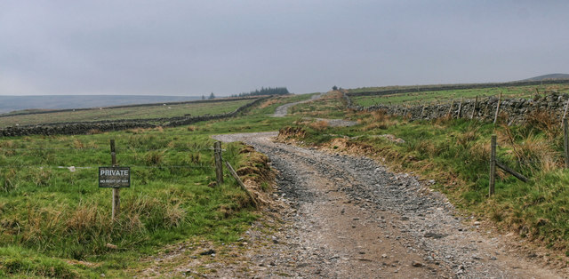
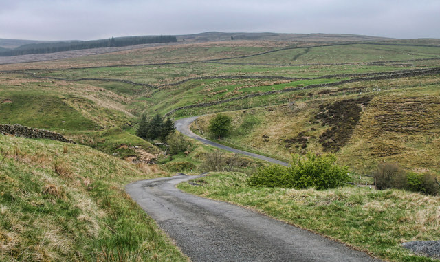
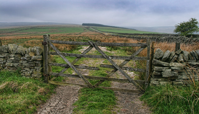
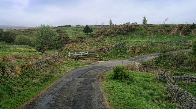
Crawberry Cleugh Images
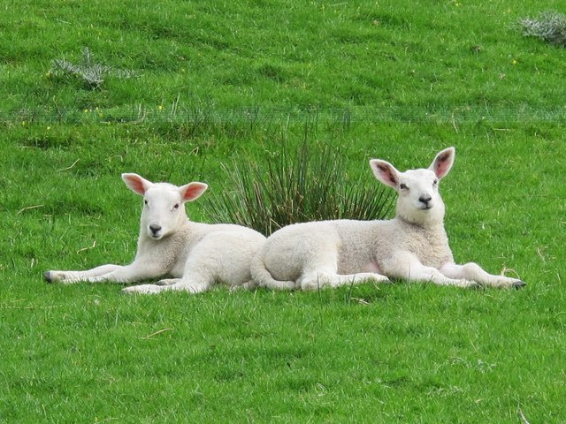
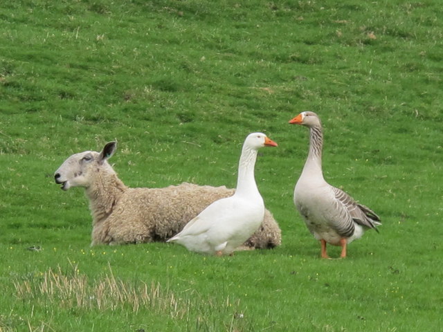
Images are sourced within 2km of 54.866128/-2.2594606 or Grid Reference NY8352. Thanks to Geograph Open Source API. All images are credited.
Crawberry Cleugh is located at Grid Ref: NY8352 (Lat: 54.866128, Lng: -2.2594606)
Unitary Authority: Northumberland
Police Authority: Northumbria
What 3 Words
///squish.stolen.holiday. Near Haydon Bridge, Northumberland
Nearby Locations
Related Wikis

Acton, Northumberland
Acton is a small hamlet in Northumberland, north-east England, about 3 miles (5 km) south of Allendale Town. Acton is usually Anglo-Saxon Old English...

Sinderhope
Sinderhope is a hamlet situated on the east Allen Valley in south-west Northumberland. The population is spread over farms in an area approximately 25...

Allendale, Northumberland
Allendale, often marked on maps as Allendale Town, is a village and civil parish in south west Northumberland, England. It is located within the North...

Museum of Classic Sci-Fi
The Museum of Classic Sci-Fi is in Allendale, Northumberland in England. The museum opened in 2018 and houses a collection of more than 200 props, costumes...
Have you been to Crawberry Cleugh?
Leave your review of Crawberry Cleugh below (or comments, questions and feedback).