Boscobel Dingle

Valley in Shropshire

England

Boscobel Dingle

Pasture by Ivetsey Bank Farm in Staffordshire North of Bishopswood.
Pasture by Ivetsey Bank Farm in Staffordshire Credit: Roger D Kidd

The requested URL returned error: 429 Too Many Requests

If you have any feedback on the listing, please let us know in the comments section below.

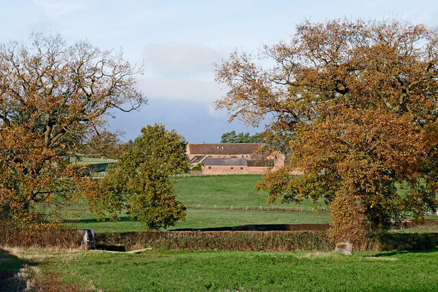
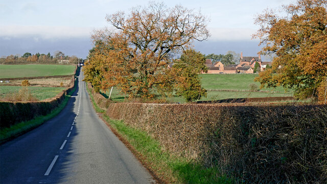
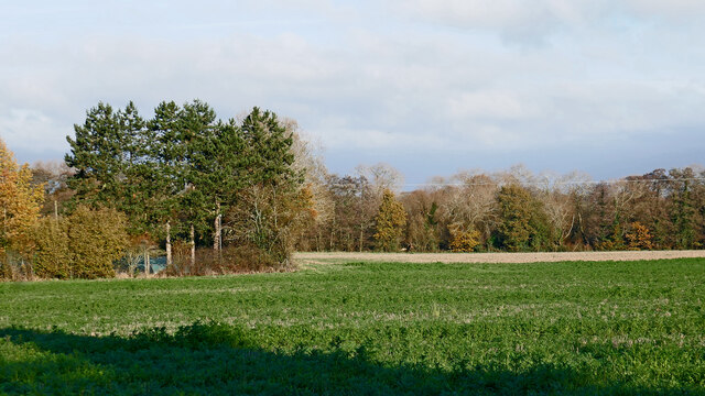
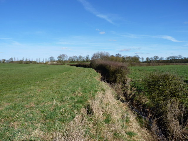
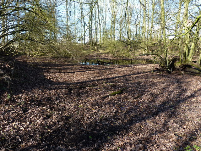
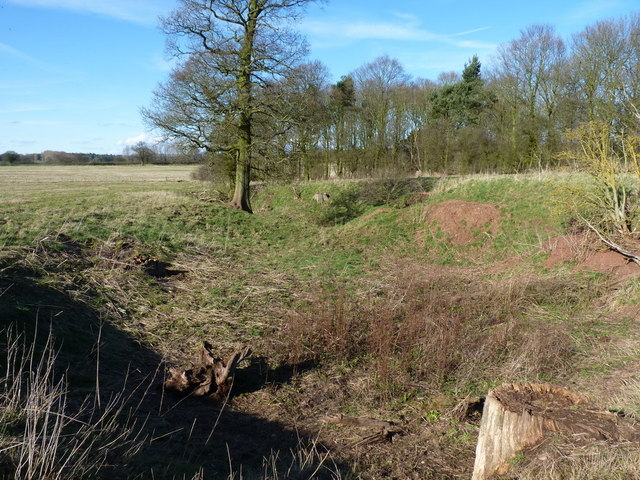
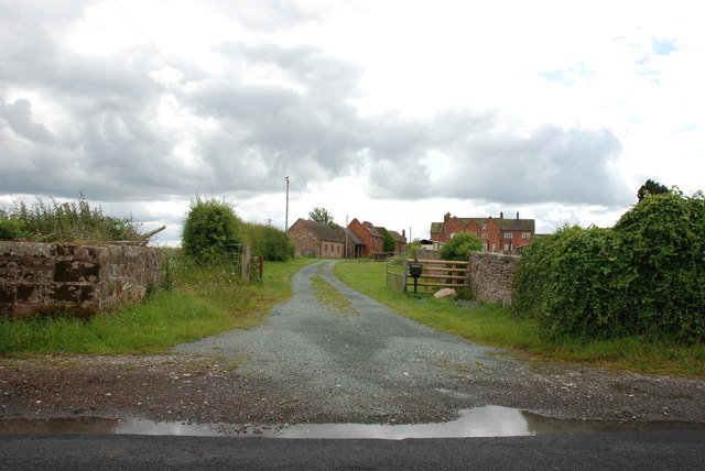
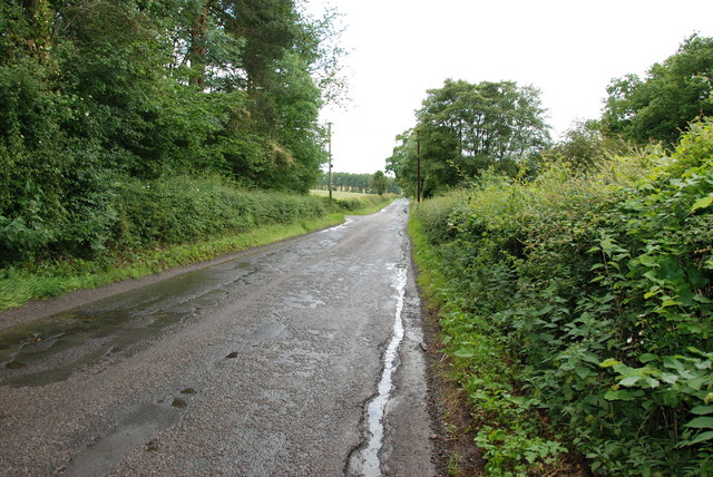
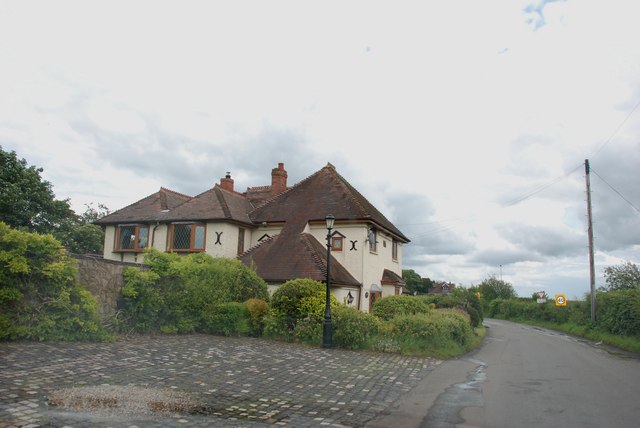
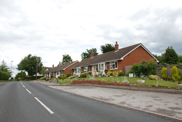
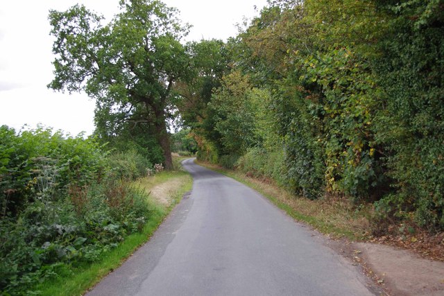
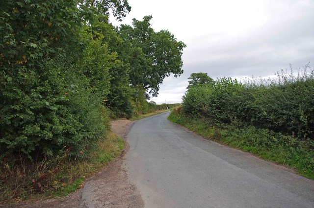
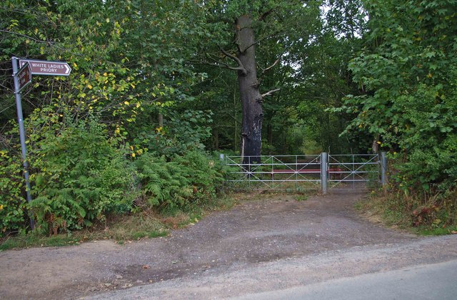
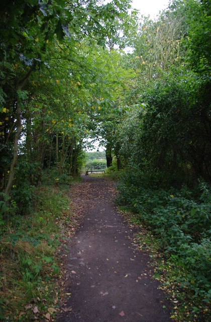
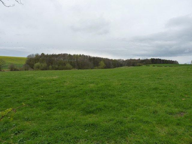
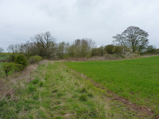
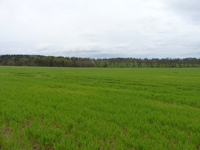
Boscobel Dingle Images

Images are sourced within 2km of 52.672188/-2.2500182 or Grid Reference SJ8308. Thanks to Geograph Open Source API. All images are credited.

Pasture by Ivetsey Bank Farm in Staffordshire North of Bishopswood.
Pasture by Ivetsey Bank Farm in Staffordshire
North of Bishopswood.
Ivetsey Bank Road north of Bishopswood in Staffordshire Looking north towards the A5 Watling Street near Ivetsey Bank. Ivetsey Bank Farm buildings can be seen to the right of the road.
Ivetsey Bank Road north of Bishopswood in Staffordshire
Looking north towards the A5 Watling Street near Ivetsey Bank. Ivetsey Bank Farm buildings can be seen to the right of the road.
Farmland and woodland north of Bishopswood, Staffordshire Looking north-east from Ivetsey Bank Road.
Farmland and woodland north of Bishopswood, Staffordshire
Looking north-east from Ivetsey Bank Road.
Drainage ditch and hedge near White Ladies Priory
Old fishpool in copse near White Ladies One of several shallow pools in the copse, which were presumably attached to the nearby priory, and suggest they supplied fish for the residents
Old fishpool in copse near White Ladies
One of several shallow pools in the copse, which were presumably attached to the nearby priory, and suggest they supplied fish for the residents
Earthworks to the west of White Ladies Priory One of a number of deep excavations in fields and the nearby copse; they were presumably associated with the Priory in its day, although the purpose isn't entirely clear. Those in the copse still hold water, albeit shallow, so may have been fishponds <a href="https://www.geograph.org.uk/photo/2322003">SJ8207 : Old fishpool in copse near White Ladies</a>
Earthworks to the west of White Ladies Priory
One of a number of deep excavations in fields and the nearby copse; they were presumably associated with the Priory in its day, although the purpose isn't entirely clear. Those in the copse still hold water, albeit shallow, so may have been fishponds SJ8207 : Old fishpool in copse near White Ladies
Offoxey Farm
Offoxey Farm
Offoxey Road, looking east to Bishops Wood
House on Offoxey Road, Bishops Wood
Housing Association Bungalows, Bishops Wood
Shackerley Lane, looking southwest Photographed from near the footpath which leads off the lane, and gives access to White Ladies Priory.
Shackerley Lane, looking southwest
Photographed from near the footpath which leads off the lane, and gives access to White Ladies Priory.
Shackerley Lane, looking northeast Photographed from near the footpath which leads off the lane, and gives access to White Ladies Priory.
Shackerley Lane, looking northeast
Photographed from near the footpath which leads off the lane, and gives access to White Ladies Priory.
Public footpath off Shackerley Lane The wooded footpath leads off Shackerley Lane, passes through the gate, and after a fairly short distance gives access to the ruins of White Ladies Priory, the name by which the former Priory of St. Leonard is usually known. The footpath carries on, as it is part of a longer route. This section might even be a bridleway, but I'm not sure on that.
Public footpath off Shackerley Lane
The wooded footpath leads off Shackerley Lane, passes through the gate, and after a fairly short distance gives access to the ruins of White Ladies Priory, the name by which the former Priory of St. Leonard is usually known. The footpath carries on, as it is part of a longer route. This section might even be a bridleway, but I'm not sure on that.
Public footpath to Shackerley Lane Shackerley Lane  is in the distance.
Public footpath to Shackerley Lane
Shackerley Lane is in the distance.
View from footpath near Shackerley Lane A view from the footpath which runs between Shackerley Lane and White Ladies Priory, and beyond.

<a href="https://www.geograph.org.uk/photo/2631251">SJ8207 : Public footpath to Shackerley Lane</a>.
View from footpath near Shackerley Lane
A view from the footpath which runs between Shackerley Lane and White Ladies Priory, and beyond. SJ8207 : Public footpath to Shackerley Lane.
North towards Boscobel Dingle Farmland near Boscobel
North towards Boscobel Dingle
Farmland near Boscobel
A small copse near Meashill Farm The copse has grown up around a dried-up pool, the remains of which are visible when you're at the side of the wood.
A small copse near Meashill Farm
The copse has grown up around a dried-up pool, the remains of which are visible when you're at the side of the wood.
Southwards to Spring Coppice Farmland and woods in a small valley near Boscobel.
Southwards to Spring Coppice
Farmland and woods in a small valley near Boscobel.
Show me another place!

Boscobel Dingle is located at Grid Ref: SJ8308 (Lat: 52.672188, Lng: -2.2500182)

Unitary Authority: Shropshire

Police Authority: West Mercia

What 3 Words

///upholds.deciding.decoded. Near Tong, Shropshire

Related Wikis

Boscobel, Shropshire

Boscobel is a civil parish in the east of Shropshire, England, on the border with Staffordshire. To the north is the Staffordshire village of Bishops Wood...

Boscobel House

Boscobel House (grid reference SJ837082) is a Grade II* listed building in the parish of Boscobel in Shropshire. It has been, at various times, a farmhouse...

Royal Oak

The Royal Oak was the English oak tree within which the future King Charles II of England hid to escape the Roundheads following the Battle of Worcester...

White Ladies Priory

White Ladies Priory (often Whiteladies Priory), once the Priory of St Leonard at Brewood, was an English priory of Augustinian canonesses, now in ruins...

Nearby Amenities

Located within 500m of 52.672188,-2.2500182
Barrier: kissing_gate
Lat/Long: 52.6692367/-2.2455618
Boscobel
Place: hamlet
Wikidata: Q3811768
Lat/Long: 52.671039/-2.2437707
Barrier: kissing_gate
Source: bing
Lat/Long: 52.6711223/-2.2431042
The data included in this document is from www.openstreetmap.org. The data is made available under ODbL.

Have you been to Boscobel Dingle?

Leave your review of Boscobel Dingle below (or comments, questions and feedback).