Ashfield Bottom
Valley in Wiltshire
England
Ashfield Bottom
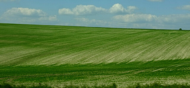
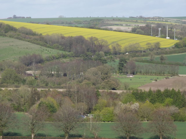
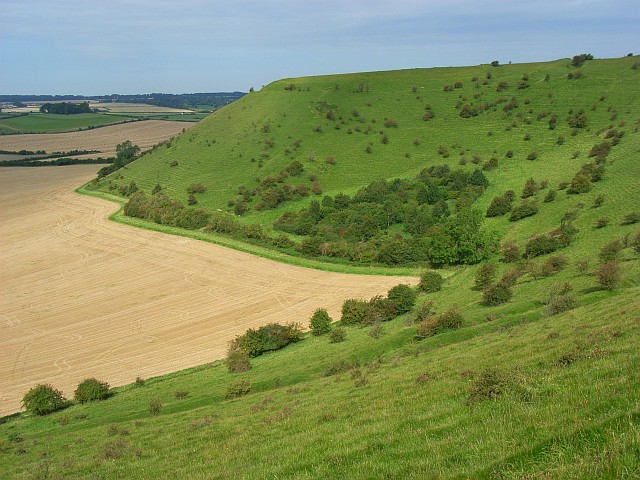
Ashfield Bottom is a picturesque valley located in the county of Wiltshire, England. Situated in the southern part of the county, it is surrounded by rolling hills and lush green meadows. The valley is part of the beautiful landscape of the Cranborne Chase and West Wiltshire Downs Area of Outstanding Natural Beauty.
The valley is characterized by its tranquil and idyllic setting, offering visitors a peaceful retreat away from the bustling city life. Ashfield Bottom is known for its unspoiled natural beauty, with a diverse range of flora and fauna thriving in the area. The valley is home to numerous species of birds, butterflies, and wildflowers, making it a haven for nature lovers and wildlife enthusiasts.
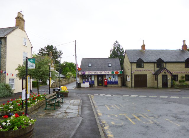
The small village of Ashfield Bottom is nestled within the valley, consisting of a handful of traditional stone cottages and farmhouses. The village has a close-knit community, with residents living a quiet and rural lifestyle. The local economy largely revolves around agriculture, with farming being the primary occupation.
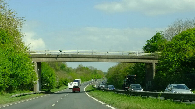
The valley is also a popular destination for outdoor activities such as hiking, cycling, and horse riding. There are several scenic walking trails that wind through the valley, offering breathtaking views of the surrounding countryside. Additionally, the nearby River Avon provides opportunities for fishing and boating.
Overall, Ashfield Bottom is a hidden gem in Wiltshire, known for its unspoiled natural beauty, charming village, and recreational opportunities. It is a place where one can immerse themselves in the tranquility of nature and experience the rural charm of the English countryside.
If you have any feedback on the listing, please let us know in the comments section below.
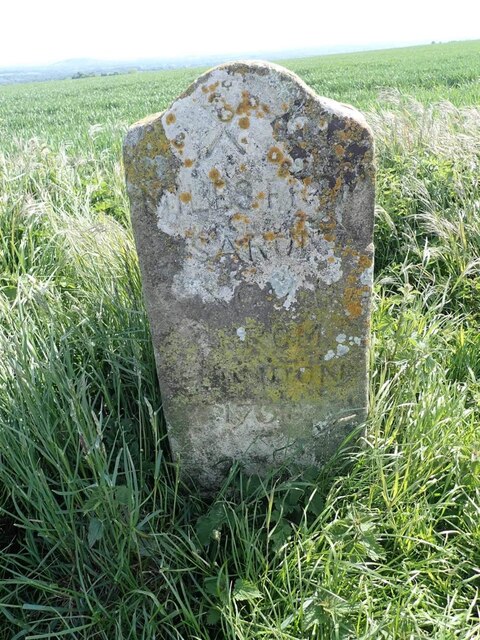
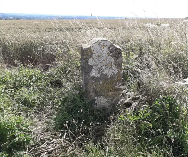
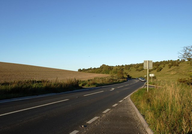
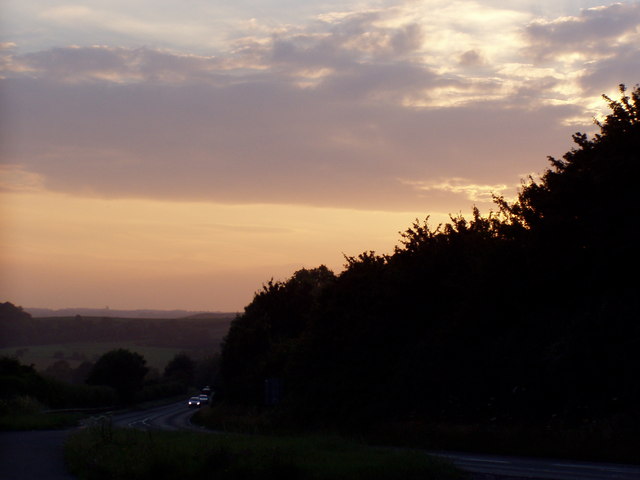
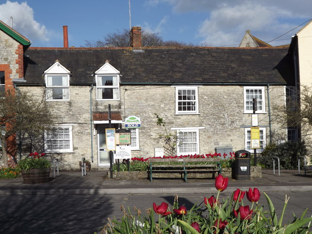
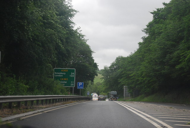
Ashfield Bottom Images
Images are sourced within 2km of 51.098921/-2.2437291 or Grid Reference ST8333. Thanks to Geograph Open Source API. All images are credited.


Ashfield Bottom is located at Grid Ref: ST8333 (Lat: 51.098921, Lng: -2.2437291)
Unitary Authority: Wiltshire
Police Authority: Wiltshire
What 3 Words
///remain.saturate.stencil. Near Mere, Wiltshire
Nearby Locations
Related Wikis

Charnage Down Chalk Pit
Charnage Down Chalk Pit (grid reference ST837329) is a 3.7 hectare geological Site of Special Scientific Interest in Wiltshire, England, lying east of...

Mere, Wiltshire
Mere is a market town and civil parish in Wiltshire, England. It lies at the extreme southwestern tip of Salisbury Plain, close to the borders of Somerset...

Castle Hill, Mere
Castle Hill, also called Mere Castle, was a medieval fortification built by Richard, the Earl of Cornwall, in 1253 on a hill overlooking the town of Mere...

Barrow Street, Wiltshire
Barrow Street is a hamlet in Wiltshire, England, about 1.9 miles (3.1 km) southeast of the town of Mere. The name comes from the early Bronze Age bowl...
Dead Maid Quarry
Dead Maid Quarry (grid reference ST803324) is a 4,400 square metre geological Site of Special Scientific Interest in Mere, Wiltshire, England, notified...

West Knoyle
West Knoyle is a small village and civil parish in southwest Wiltshire, England, close to the southern edge of Salisbury Plain. The village is about 2...
White Sheet Hill
White Sheet Hill, also known as Whitesheet Hill, is a hill in the English county of Wiltshire. As one of the most westerly areas of downland in Britain...
Hang Wood
Hang Wood (grid reference ST861319) is a 20.3 hectare biological Site of Special Scientific Interest in Wiltshire, notified in 1986. == Sources == Natural...
Nearby Amenities
Located within 500m of 51.098921,-2.2437291Have you been to Ashfield Bottom?
Leave your review of Ashfield Bottom below (or comments, questions and feedback).