Ledsham

Settlement in Yorkshire

England

Ledsham

Best Western Hotel by A63 The Best Western Milford Hotel stands on the east side of the old A1 Great North Road. The road is still a dual carriageway at this point, but is now part of the W-E A63, the A1 now being a motorway a little further to the east.
Best Western Hotel by A63 Credit: Gordon Hatton

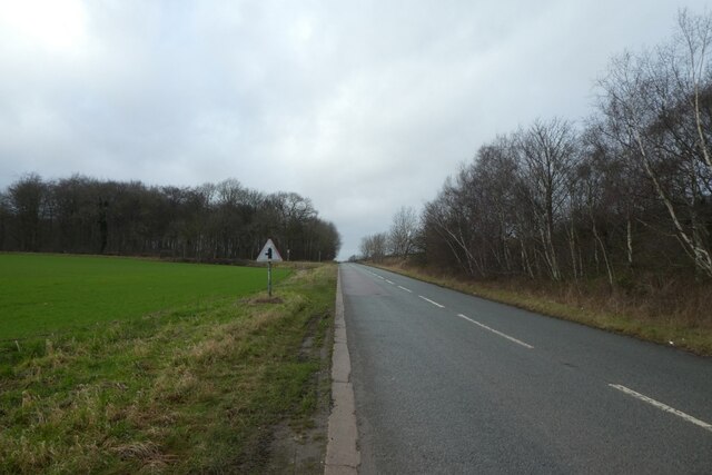
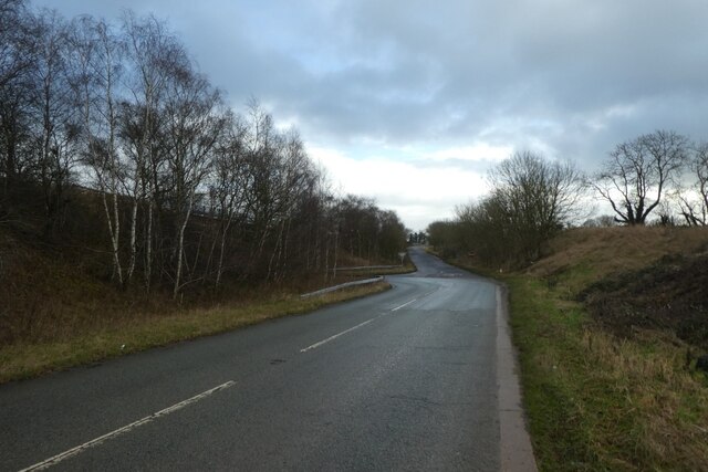
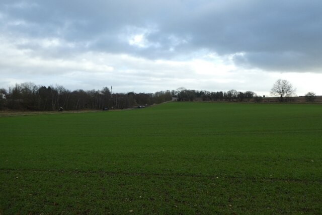
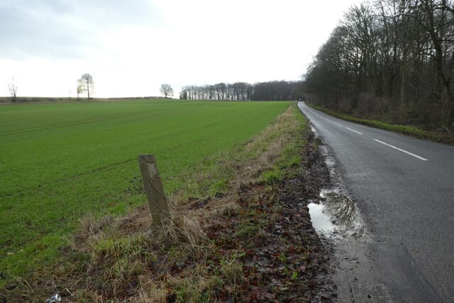
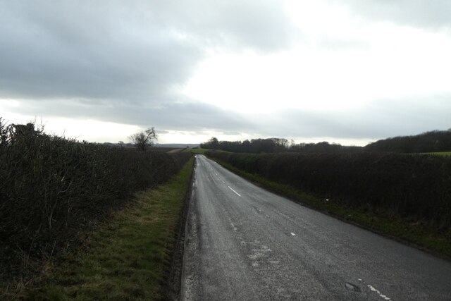
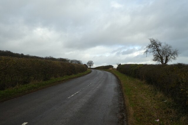
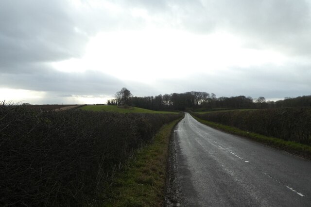
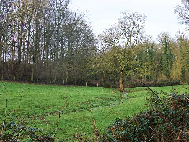
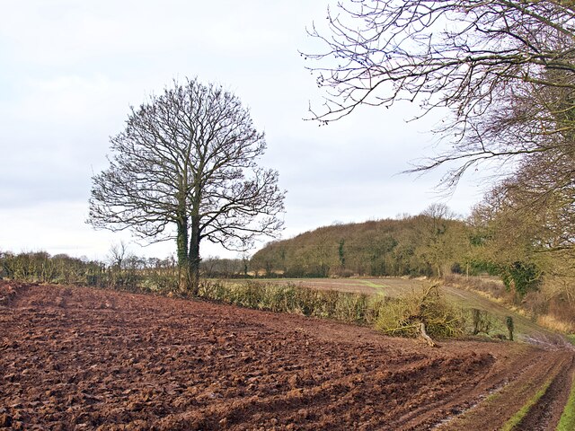
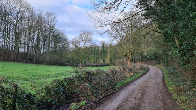
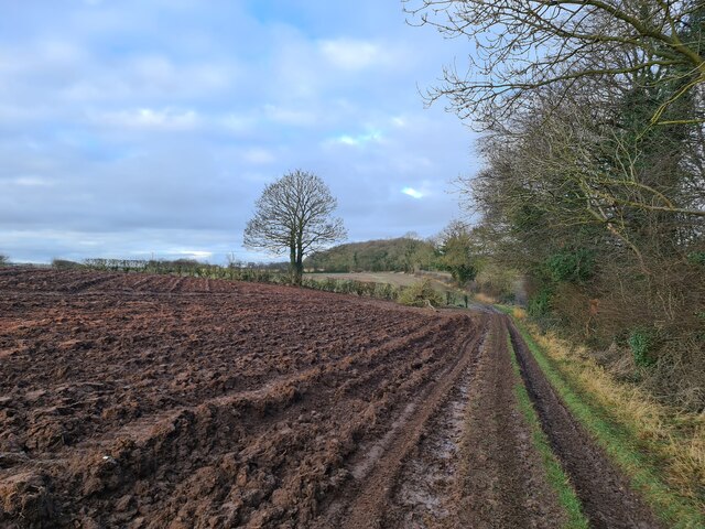
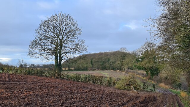
Ledsham is a small village located in the county of Yorkshire, England. Situated approximately 10 miles east of Leeds, it falls within the district of Selby and the civil parish of Ledsham and Fairburn. The village is nestled in the picturesque countryside, with a tranquil and idyllic setting.

Ledsham has a rich history dating back many centuries. The village is mentioned in the Domesday Book of 1086, highlighting its long-standing presence. The architecture in Ledsham is predominantly traditional, with charming stone-built houses and buildings that add to its quaint charm.

The village is home to a close-knit community that takes pride in preserving its heritage and traditions. Ledsham has a local church, St. John the Baptist, which dates back to the 12th century. The church is known for its distinctive architecture and is a focal point of the village.

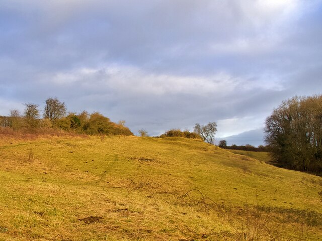
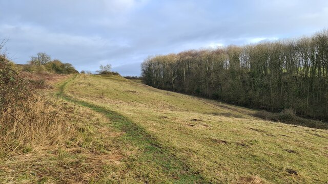
The surrounding countryside offers ample opportunities for outdoor activities and exploration. Ledsham is located near Fairburn Ings Nature Reserve, a renowned bird sanctuary and nature reserve. It attracts birdwatchers and nature enthusiasts from near and far, providing a peaceful retreat for visitors.

Despite its small size, Ledsham benefits from its proximity to larger towns and cities. Leeds and Selby are easily accessible, offering a range of amenities, services, and employment opportunities.

In conclusion, Ledsham is a charming village in Yorkshire that boasts a rich history, picturesque surroundings, and a welcoming community. It is an ideal destination for those seeking a peaceful retreat in the countryside while still having access to nearby urban centers.

If you have any feedback on the listing, please let us know in the comments section below.

Ledsham Images

Images are sourced within 2km of 53.762194/-1.310052 or Grid Reference SE4529. Thanks to Geograph Open Source API. All images are credited.

Best Western Hotel by A63 The Best Western Milford Hotel stands on the east side of the old A1 Great North Road. The road is still a dual carriageway at this point, but is now part of the W-E A63, the A1 now being a motorway a little further to the east.
Best Western Hotel by A63
The Best Western Milford Hotel stands on the east side of the old A1 Great North Road. The road is still a dual carriageway at this point, but is now part of the W-E A63, the A1 now being a motorway a little further to the east.
A1(M) South Looking down onto the A1(M) from the B1222 bridge.
A1(M) South
Looking down onto the A1(M) from the B1222 bridge.
B1222 bridge Looking across the B1222 bridge above the A1(M). The road meets the A63 ahead.
B1222 bridge
Looking across the B1222 bridge above the A1(M). The road meets the A63 ahead.
A63 sliproad Looking along the road linking the B1222 to the A63.
A63 sliproad
Looking along the road linking the B1222 to the A63.
Towards the A63 underpass Looking along the sliproad to where the road heads to meet the B1222 on the left under the A63.
Towards the A63 underpass
Looking along the sliproad to where the road heads to meet the B1222 on the left under the A63.
Field beside New Road Looking across farmland towards the B1222 and A63 slip road junction.
Field beside New Road
Looking across farmland towards the B1222 and A63 slip road junction.
New Road near the A63 Looking along New Road leading to Ledsham from close to its junction with the A63 slip road.
New Road near the A63
Looking along New Road leading to Ledsham from close to its junction with the A63 slip road.
Along New Road Looking along New Road leading to Ledsham.
Along New Road
Looking along New Road leading to Ledsham.
Bend on New Road Looking along New Road between Ledsham and the A63.
Bend on New Road
Looking along New Road between Ledsham and the A63.
Road to Ledsham Looking along New Road leading towards Ledsham from the A63.
Road to Ledsham
Looking along New Road leading towards Ledsham from the A63.
Ledsham Bank Nature Reserve In the care of the Yorkshire Wildlife Trust. Best seen in June and July instead of a grey January morning.
<span class="nowrap"><a title="https://www.ywt.org.uk/nature-reserves/ledsham-bank-nature-reserve" rel="nofollow ugc noopener" href="https://www.ywt.org.uk/nature-reserves/ledsham-bank-nature-reserve">Link</a><img style="margin-left:2px;" alt="External link" title="External link - shift click to open in new window" src="https://s1.geograph.org.uk/img/external.png" width="10" height="10"/></span>
Ledsham Bank Nature Reserve
In the care of the Yorkshire Wildlife Trust. Best seen in June and July instead of a grey January morning. LinkExternal link
Solitary winter tree Ina grass field to the north west of Ledsham.
Solitary winter tree
Ina grass field to the north west of Ledsham.
Winter tree in a hedgerow beside a ploughed field
Park Lane, Ledsham
Park Lane, Ledsham
Ploughed field Beside Park Lane
Ploughed field
Beside Park Lane
Looking towards Long Plantation
On Ledsham Bank
On Ledsham Bank
Roadworks on the A1 at Selby Fork This is part of the extension of the A1M in North Yorkshire
Roadworks on the A1 at Selby Fork
This is part of the extension of the A1M in North Yorkshire
Show me another place!

Ledsham is located at Grid Ref: SE4529 (Lat: 53.762194, Lng: -1.310052)

Division: West Riding

Unitary Authority: Leeds

Police Authority: West Yorkshire

What 3 Words

///lump.mermaids.appointed. Near Ledsham, West Yorkshire

Related Wikis

Ledsham, West Yorkshire

Ledsham is a village and civil parish 4 miles (6 km) north of Castleford and 11 miles (18 km) east of Leeds in the county of West Yorkshire, England. The...

Church of All Saints, Ledsham

The Church of All Saints is an Anglican building in the village of Ledsham, West Yorkshire, England, some 10 miles (16 km) east of Leeds. Parts of the...

Osgoldcross Rural District

Osgoldcross Rural District was a rural district in the West Riding of Yorkshire, England. It was created in 1938, from 19 remaining parishes of the disbanded...

Osgoldcross Wapentake

Osgoldcross was a wapentake of the West Riding of Yorkshire, England. It included the parishes of Adlingfleet, Badsworth, Burghwallis, Campsall, Castleford...

Nearby Amenities

Located within 500m of 53.762194,-1.310052
Power: tower
Lat/Long: 53.7601116/-1.3132333
Power: tower
Lat/Long: 53.7590514/-1.3077003
Ledsham
Created By: Potlatch 0.10f
Place: village
Lat/Long: 53.7618092/-1.30946
Bus Stop
Chequers Inn Ledsham
Local Ref: 45013329
Naptan AtcoCode: 450013329
Naptan Bearing: NE
Naptan CommonName: Chequers Inn Ledsham
Naptan Crossing: Park Lane
Naptan Indicator: Stop 45013329
Naptan Landmark: Chequers Inn PH
Naptan PlusbusZoneRef: LEEDS
Naptan ShortCommonName: Chequers Ledsham
Naptan Street: Claypit Lane
Naptan Verified: no
Source: naptan_import
Lat/Long: 53.7622588/-1.3111108
Bus Stop
New Road Church Farm House
Local Ref: 45013330
Naptan AtcoCode: 450013330
Naptan Bearing: N
Naptan CommonName: New Road Church Farm House
Naptan Crossing: Nr-At Park Lane
Naptan Indicator: Stop 45013330
Naptan Landmark: St Johns Hospital (Almshouses)
Naptan PlusbusZoneRef: LEEDS
Naptan ShortCommonName: Park Lane
Naptan Street: New Road
Naptan Verified: no
Source: naptan_import
Lat/Long: 53.7627489/-1.3103595
New Road Church Farm House
Local Ref: 45050115
Naptan AtcoCode: 450050115
Naptan Bearing: S
Naptan BusStopType: CUS
Naptan CommonName: New Road Church Farm House
Naptan Indicator: Stop 45050115
Naptan PlusbusZoneRef: LEEDS
Naptan ShortCommonName: Church Farm House
Naptan Street: New Road
Naptan Verified: no
Source: naptan_import
Lat/Long: 53.7627484/-1.3102836
Noexit: yes
Lat/Long: 53.7628665/-1.3092995
Telephone
Defibrillator
Booth: K6
Colour: red
Covered: booth
Defibrillator Location: inside red phone box next to Chequers Inn on Claypit Lane, Ledsham
Emergency: defibrillator
Listed Status: Grade II
Man Made: telephone_box
Old Phone: +44 1977 682786
Lat/Long: 53.7622469/-1.3107744
Bench
Lat/Long: 53.7623025/-1.3111232
Post Box
Operator: Royal Mail
Post Box Type: wall
Ref: LS25 324
Royal Cypher: EIIR
Royal Cypher Wikidata: Q33102113
Lat/Long: 53.7621249/-1.3095139
Waste Basket
Collection Times: Th
Ref UK Leedscc Bin: 713
Lat/Long: 53.762232/-1.311237
Waste Basket
Collection Times: Th
Ref UK Leedscc Bin: 712
Lat/Long: 53.762191/-1.310247
Noexit: yes
Lat/Long: 53.7650245/-1.3129166
The data included in this document is from www.openstreetmap.org. The data is made available under ODbL.

Have you been to Ledsham?

Leave your review of Ledsham below (or comments, questions and feedback).