Mill Hill Plantation
Wood, Forest in Yorkshire
England
Mill Hill Plantation
The requested URL returned error: 429 Too Many Requests
If you have any feedback on the listing, please let us know in the comments section below.
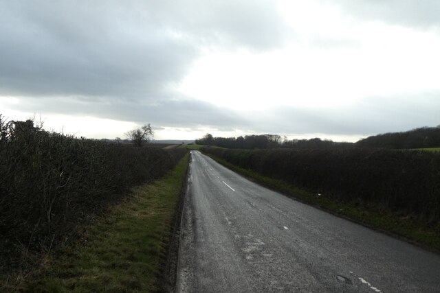
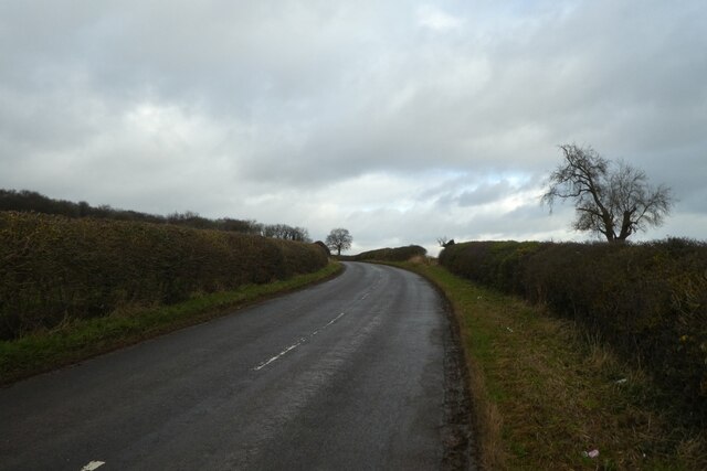
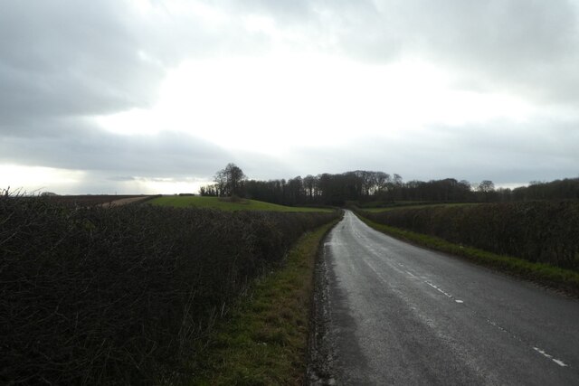
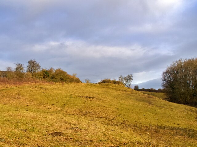
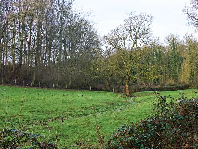
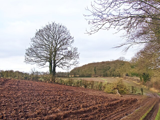
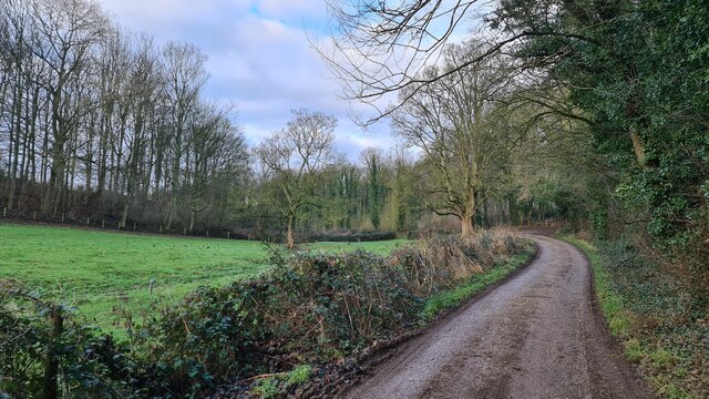
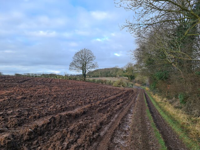
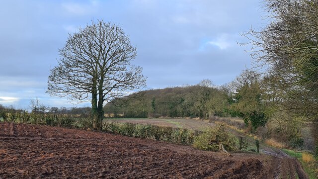
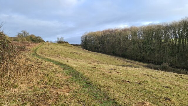
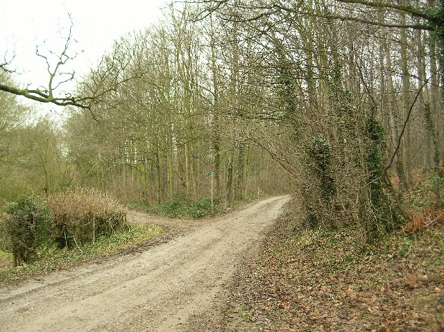
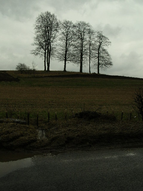
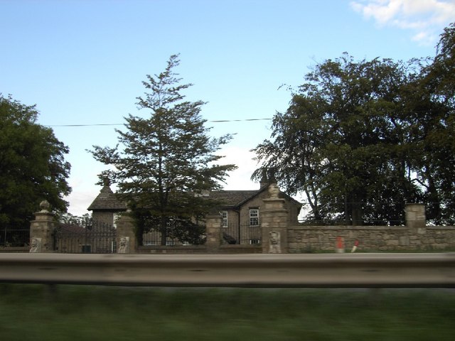
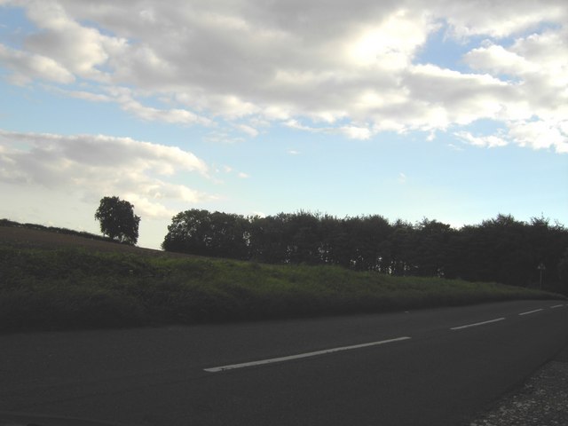
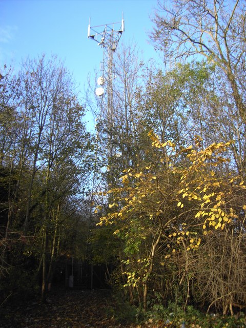
Mill Hill Plantation Images
Images are sourced within 2km of 53.75546/-1.3043187 or Grid Reference SE4529. Thanks to Geograph Open Source API. All images are credited.


Mill Hill Plantation is located at Grid Ref: SE4529 (Lat: 53.75546, Lng: -1.3043187)
Division: West Riding
Unitary Authority: Leeds
Police Authority: West Yorkshire
What 3 Words
///loosed.signs.owners. Near Ledsham, West Yorkshire
Nearby Locations
Related Wikis

Church of All Saints, Ledsham
The Church of All Saints is an Anglican building in the village of Ledsham, West Yorkshire, England, some 10 miles (16 km) east of Leeds. Parts of the...

Ledsham, West Yorkshire
Ledsham is a village and civil parish 4 miles (6 km) north of Castleford and 11 miles (18 km) east of Leeds in the county of West Yorkshire, England. The...

Osgoldcross Rural District
Osgoldcross Rural District was a rural district in the West Riding of Yorkshire, England. It was created in 1938, from 19 remaining parishes of the disbanded...

Osgoldcross Wapentake
Osgoldcross was a wapentake of the West Riding of Yorkshire, England. It included the parishes of Adlingfleet, Badsworth, Burghwallis, Campsall, Castleford...
Nearby Amenities
Located within 500m of 53.75546,-1.3043187Have you been to Mill Hill Plantation?
Leave your review of Mill Hill Plantation below (or comments, questions and feedback).