Wolf Cleugh

Valley in Northumberland

England

Wolf Cleugh

Old railway goods van near Limestone Brae The location of this old railway goods van is shown in <a href="https://www.geograph.org.uk/photo/2632397">NY7950 : West Allen Dale around Limestone Brae</a> and <a href="https://www.geograph.org.uk/photo/2632414">NY7950 : West Allen Dale north of Limestone Brae</a>.
Old railway goods van near Limestone Brae Credit: Mike Quinn

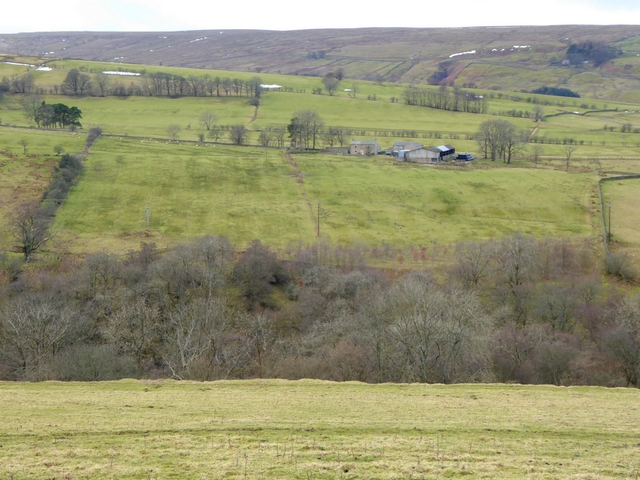
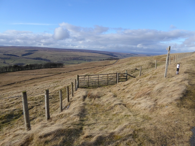
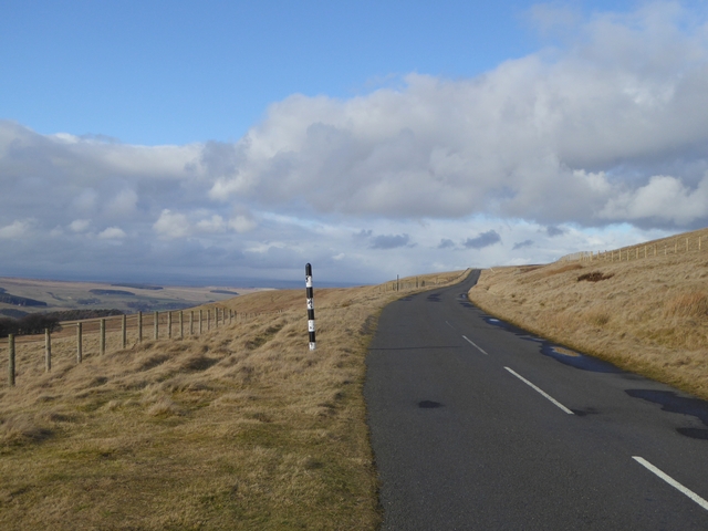
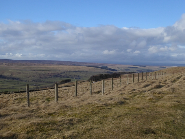
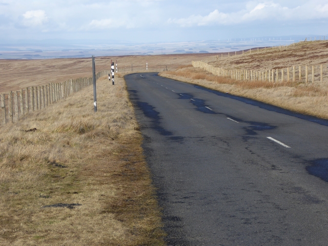
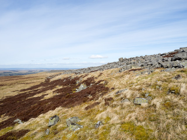
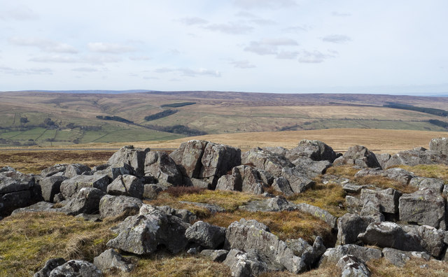
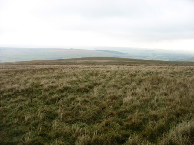
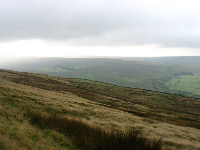
Wolf Cleugh is a picturesque valley located in the county of Northumberland, England. Situated within the expansive Northumberland National Park, this secluded and tranquil spot offers breathtaking natural beauty and a rich history.

The valley is named after the small stream, Wolf Cleugh Burn, which flows through it. Surrounded by rolling hills and dense woodlands, it provides a haven for a diverse range of plant and animal species, making it a popular destination for nature enthusiasts and hikers alike.

The area is steeped in history, with evidence of human habitation dating back to prehistoric times. Ruins of old settlements, stone circles, and ancient burial mounds can be found, providing a glimpse into the lives of those who once called this valley home.

Visitors can explore the valley through a network of scenic walking trails, allowing them to appreciate the stunning landscapes and spot wildlife such as red squirrels, deer, and various bird species. The valley also offers opportunities for outdoor activities like fishing, cycling, and camping.

Nearby attractions include the picturesque village of Falstone, where visitors can admire the historic St. Peter's Church and enjoy traditional local cuisine at the village pub. The iconic Kielder Water, the largest man-made lake in Northern Europe, is also within reach, offering sailing, water sports, and stunning views.

In summary, Wolf Cleugh is a hidden gem within the Northumberland National Park, offering visitors a chance to immerse themselves in nature, explore a rich history, and enjoy a peaceful and rejuvenating experience in the heart of the English countryside.

If you have any feedback on the listing, please let us know in the comments section below.
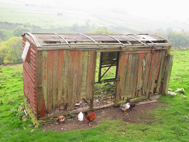
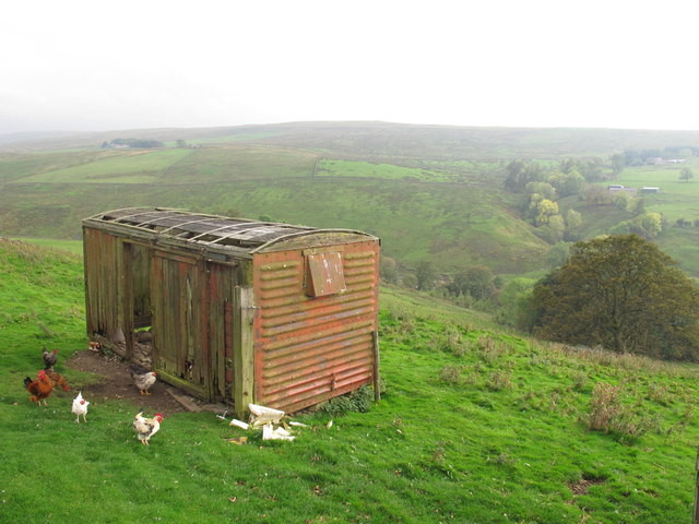
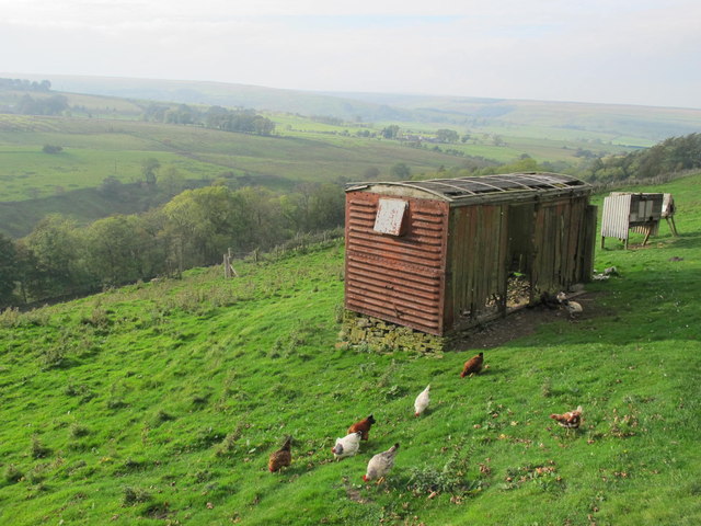
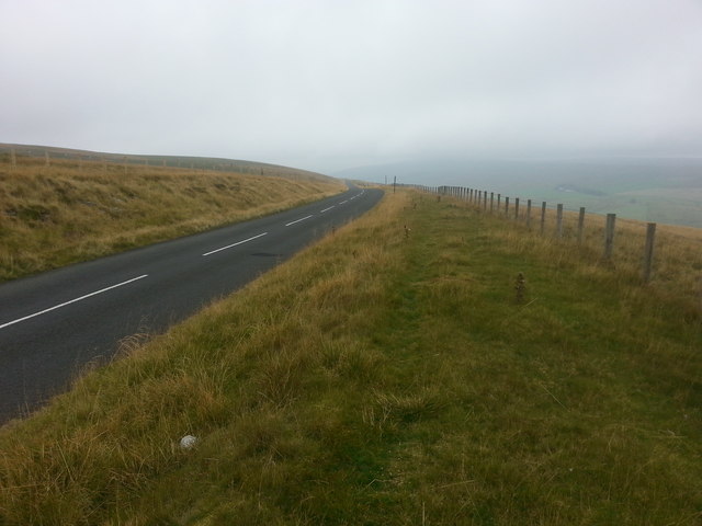
Wolf Cleugh Images

Images are sourced within 2km of 54.84176/-2.3147994 or Grid Reference NY7949. Thanks to Geograph Open Source API. All images are credited.

Old railway goods van near Limestone Brae The location of this old railway goods van is shown in <a href="https://www.geograph.org.uk/photo/2632397">NY7950 : West Allen Dale around Limestone Brae</a> and <a href="https://www.geograph.org.uk/photo/2632414">NY7950 : West Allen Dale north of Limestone Brae</a>.
Old railway goods van near Limestone Brae
The location of this old railway goods van is shown in NY7950 : West Allen Dale around Limestone Brae and NY7950 : West Allen Dale north of Limestone Brae.
West Allen Dale around Limestone Brae Shows the location of <a href="https://www.geograph.org.uk/photo/2632388">NY7950 : Old railway goods van near Limestone Brae</a>.
West Allen Dale around Limestone Brae
West Allen Dale north of Limestone Brae Shows the location of <a href="https://www.geograph.org.uk/photo/2632388">NY7950 : Old railway goods van near Limestone Brae</a>.
West Allen Dale north of Limestone Brae
Descending Acton Moor
View across West Allendale Compare with <a href="https://www.geograph.org.uk/photo/2091247">NY7850 : View across West Allendale</a> taken from an almost identical viewpoint. Dale House Farm in the middle distance with Ouston Fell on the horizon.
View across West Allendale
Compare with NY7850 : View across West Allendale taken from an almost identical viewpoint. Dale House Farm in the middle distance with Ouston Fell on the horizon.
Path to Taylorburn On the hillside above West Allendale. Compare with the snowy scene at <a href="https://www.geograph.org.uk/photo/1705418">NY7950 : Path to Taylorburn</a>.
Path to Taylorburn
On the hillside above West Allendale. Compare with the snowy scene at NY7950 : Path to Taylorburn.
Moorland road to Allendale This moorland road linking the upper end of West Allendale with Allendale Town rises to almost 500 metres above sea level.
Moorland road to Allendale
This moorland road linking the upper end of West Allendale with Allendale Town rises to almost 500 metres above sea level.
Fence line above West Allendale
Gate and fence above West Allendale
Moorland road to Allendale This moorland road linking Carrshield and Allendale Town rises to almost 500 metres above sea level.
Moorland road to Allendale
This moorland road linking Carrshield and Allendale Town rises to almost 500 metres above sea level.
Greenleycleugh Crags Greenleycleugh Crags is a long, low band of rock on the flank of Brownley Hill overlooking West Allendale. The rock is broken into blocks with little in the way of any continuous rock face.
Greenleycleugh Crags
Greenleycleugh Crags is a long, low band of rock on the flank of Brownley Hill overlooking West Allendale. The rock is broken into blocks with little in the way of any continuous rock face.
Rocks of Greenleycleugh Crags Greenleycleugh Crags is a long, low band of rock on the flank of Brownley Hill overlooking West Allendale which is the valley beyond the blocks. The distant ground is Whitfield Moor.
Rocks of Greenleycleugh Crags
Greenleycleugh Crags is a long, low band of rock on the flank of Brownley Hill overlooking West Allendale which is the valley beyond the blocks. The distant ground is Whitfield Moor.
On Dryburn Moor
On Dryburn Moor
On Kevelin Moor Looking down into West Allen Dale.
On Kevelin Moor
Looking down into West Allen Dale.
Middle
Middle
Footpath through Middle
Dale House Farm
Dale House Farm
Dale House Farm The farm is in West Allendale above the west side of the River West Allen.
Brownley Hill rises beyond the farm to the river's east.
Dale House Farm
The farm is in West Allendale above the west side of the River West Allen. Brownley Hill rises beyond the farm to the river's east.
Show me another place!

Wolf Cleugh is located at Grid Ref: NY7949 (Lat: 54.84176, Lng: -2.3147994)

Unitary Authority: Northumberland

Police Authority: Northumbria

What 3 Words

///luckier.launcher.bleaching. Near Alston, Cumbria

Related Wikis

Throssel Hole Buddhist Abbey

Throssel Hole Buddhist Abbey is a Buddhist monastery and retreat centre located in Northumberland, in northern England. The monastic order is equally for...

Carr Shield

Carrshield is a village in Northumberland, in England. It is situated in the Pennines approximately between Penrith and Hexham. It is a small village with...

Allendale Moors

Allendale Moors is a Site of Special Scientific Interest (SSSI) in Northumberland, England. The upland moorland ridge site is listed for its heath, flush...

Ouston, Ninebanks

Ouston is a small settlement in south west Northumberland, England in the North Pennines Area of Outstanding Natural Beauty 8 miles (13 km) north-east...

Acton, Northumberland

Acton is a small hamlet in Northumberland, north-east England, about 3 miles (5 km) south of Allendale Town. Acton is usually Anglo-Saxon Old English...

Ninebanks

Ninebanks is a small village in south west Northumberland, England in the North Pennines Area of Outstanding Natural Beauty 8 miles (13 km) north-east...

Coalcleugh

Coalcleugh is a hamlet in Northumberland, England. It is situated in the Pennines between Penrith and Hexham. In the past it was well known as a lead mining...

Sinderhope

Sinderhope is a hamlet situated on the east Allen Valley in south-west Northumberland. The population is spread over farms in an area approximately 25...

Related Videos

Carrshield Camping Barn - A few activities, part 1

Just what is there in the North Pennines? This video will hopefully give you some ideas of what you could be doing when you ...

May 2021 - a selection of photographs

A selection of photographs taken whilst wandering the fells, moors and valleys that surround Carrshield.

Nearby Amenities

Located within 500m of 54.84176,-2.3147994
Wolfcleugh
Place: locality
Lat/Long: 54.8403157/-2.3158022
Throssel Hole
Place: locality
Lat/Long: 54.8424132/-2.3156766
The data included in this document is from www.openstreetmap.org. The data is made available under ODbL.

Have you been to Wolf Cleugh?

Leave your review of Wolf Cleugh below (or comments, questions and feedback).