Sandy's Green

Downs, Moorland in Northumberland

England

Sandy's Green

Old railway goods van near Limestone Brae The location of this old railway goods van is shown in <a href="https://www.geograph.org.uk/photo/2632397">NY7950 : West Allen Dale around Limestone Brae</a> and <a href="https://www.geograph.org.uk/photo/2632414">NY7950 : West Allen Dale north of Limestone Brae</a>.
Old railway goods van near Limestone Brae Credit: Mike Quinn

Sandy's Green is a picturesque village located in the county of Northumberland, England. Nestled amidst the captivating landscape of the Northumberland Downs and Moorland, it offers a tranquil and idyllic setting for residents and visitors alike.

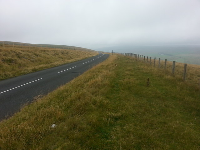
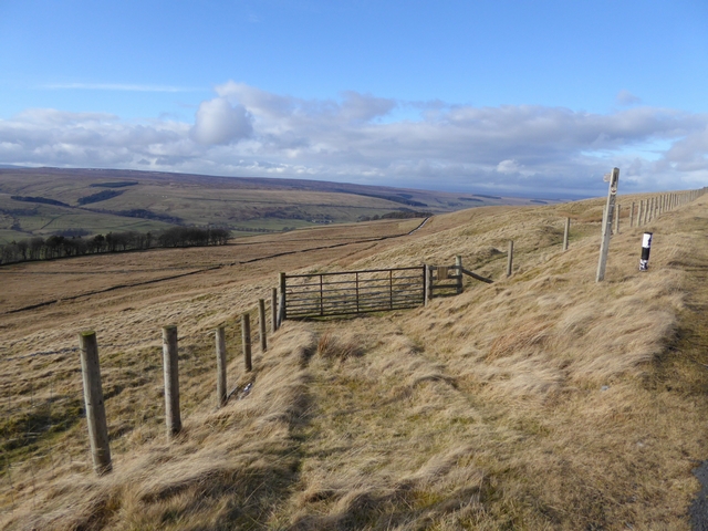
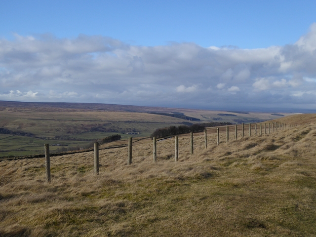
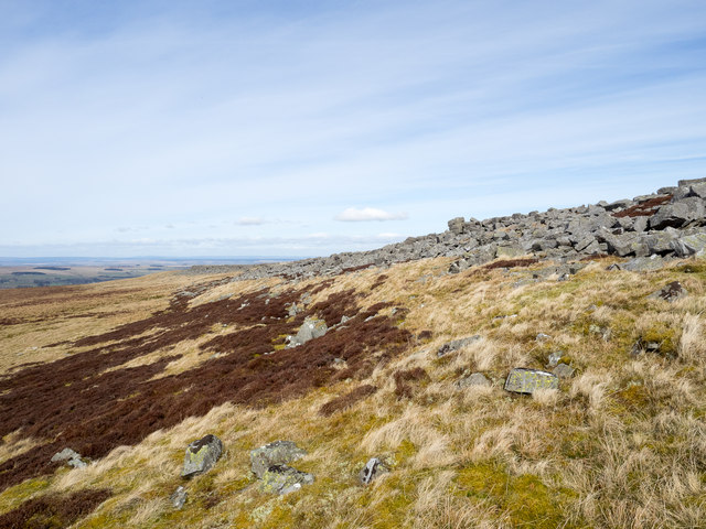
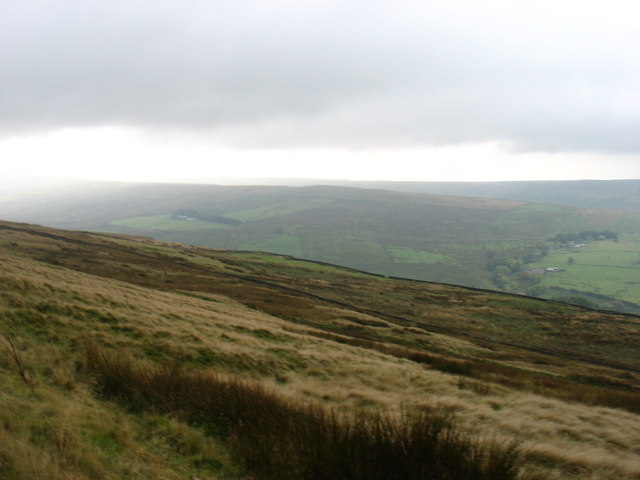
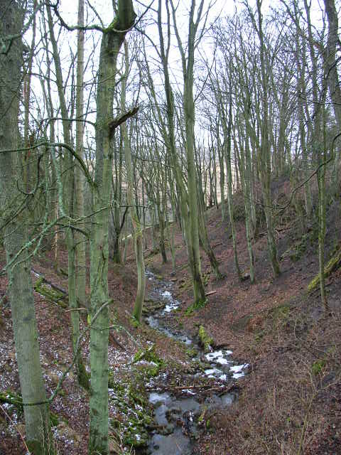
Surrounded by rolling hills and lush greenery, Sandy's Green provides breathtaking views of the surrounding countryside. The village is renowned for its unspoiled natural beauty, with vast expanses of open moorland and heather-covered hills stretching as far as the eye can see.

The village itself is small, with a close-knit community that embraces a peaceful way of life. Quaint cottages line the streets, many of them constructed from traditional local stone, adding to the charm and character of the area. In the center of the village, a village green provides a gathering place for residents to socialize and enjoy outdoor activities.

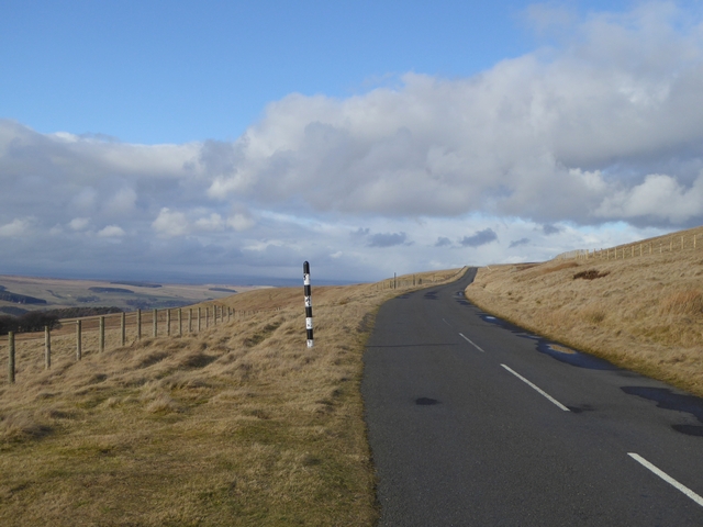
Sandy's Green offers a range of outdoor recreational opportunities. Hiking and walking trails crisscross the surrounding countryside, allowing visitors to explore the stunning natural beauty at their own pace. The moorland is also a haven for wildlife enthusiasts, with a diverse range of flora and fauna to discover.

While Sandy's Green may be a haven of tranquility, it is conveniently located within easy reach of larger towns and cities. The bustling market town of Hexham is just a short drive away, offering a variety of amenities including shops, restaurants, and cultural attractions.

In conclusion, Sandy's Green in Northumberland is a hidden gem, offering a peaceful and scenic retreat amidst the Northumberland Downs and Moorland. Whether exploring the stunning countryside or enjoying the close-knit community, visitors to Sandy's Green are sure to be captivated by its natural beauty and charm.

If you have any feedback on the listing, please let us know in the comments section below.

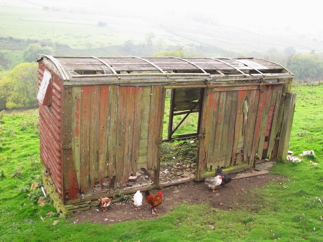
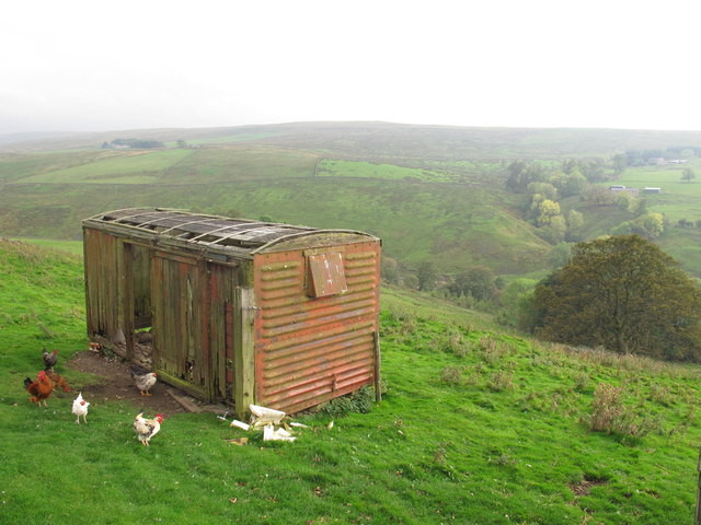
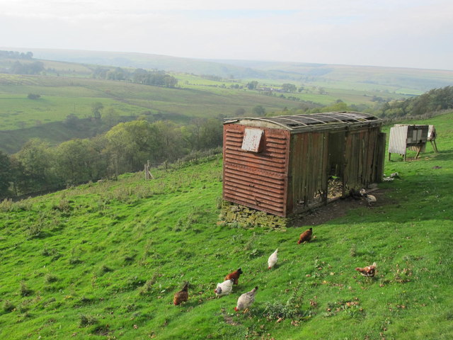
Sandy's Green Images

Images are sourced within 2km of 54.837718/-2.3141607 or Grid Reference NY7949. Thanks to Geograph Open Source API. All images are credited.

Old railway goods van near Limestone Brae The location of this old railway goods van is shown in <a href="https://www.geograph.org.uk/photo/2632397">NY7950 : West Allen Dale around Limestone Brae</a> and <a href="https://www.geograph.org.uk/photo/2632414">NY7950 : West Allen Dale north of Limestone Brae</a>.
Old railway goods van near Limestone Brae
The location of this old railway goods van is shown in NY7950 : West Allen Dale around Limestone Brae and NY7950 : West Allen Dale north of Limestone Brae.
West Allen Dale around Limestone Brae Shows the location of <a href="https://www.geograph.org.uk/photo/2632388">NY7950 : Old railway goods van near Limestone Brae</a>.
West Allen Dale around Limestone Brae
West Allen Dale north of Limestone Brae Shows the location of <a href="https://www.geograph.org.uk/photo/2632388">NY7950 : Old railway goods van near Limestone Brae</a>.
West Allen Dale north of Limestone Brae
Descending Acton Moor
Path to Taylorburn On the hillside above West Allendale. Compare with the snowy scene at <a href="https://www.geograph.org.uk/photo/1705418">NY7950 : Path to Taylorburn</a>.
Path to Taylorburn
On the hillside above West Allendale. Compare with the snowy scene at NY7950 : Path to Taylorburn.
Moorland road to Allendale This moorland road linking the upper end of West Allendale with Allendale Town rises to almost 500 metres above sea level.
Moorland road to Allendale
This moorland road linking the upper end of West Allendale with Allendale Town rises to almost 500 metres above sea level.
Fence line above West Allendale
Greenleycleugh Crags Greenleycleugh Crags is a long, low band of rock on the flank of Brownley Hill overlooking West Allendale. The rock is broken into blocks with little in the way of any continuous rock face.
Greenleycleugh Crags
Greenleycleugh Crags is a long, low band of rock on the flank of Brownley Hill overlooking West Allendale. The rock is broken into blocks with little in the way of any continuous rock face.
On Kevelin Moor Looking down into West Allen Dale.
On Kevelin Moor
Looking down into West Allen Dale.
Ford, River West Allen, Limestone Brae A byway here fords the River West Allen in the valley deep below the hamlet of Limestone Brae.
Ford, River West Allen, Limestone Brae
A byway here fords the River West Allen in the valley deep below the hamlet of Limestone Brae.
Roadside hay at The Nook The Nook can jut be seen in the trees.
Roadside hay at The Nook
The Nook can jut be seen in the trees.
Blackcleugh Farm
Blackcleugh Farm
Hirst Looking across the West Allen valley to Kevelin Moor.
Hirst
Looking across the West Allen valley to Kevelin Moor.
Zig-zagging byway, Limestone Brae View from across the valley of the byway climbing after fording the River West Allen.
Zig-zagging byway, Limestone Brae
View from across the valley of the byway climbing after fording the River West Allen.
Waterfall, River West Allen There is a more impressive waterfall just downstream. I couldn't get close enough to it for a decent photo though.
Waterfall, River West Allen
There is a more impressive waterfall just downstream. I couldn't get close enough to it for a decent photo though.
Wolf Cleugh Viewed from the road bridge over it. The road hairpins to achieve the crossing.
Wolf Cleugh
Viewed from the road bridge over it. The road hairpins to achieve the crossing.
Wolfcleugh Farm The lids of the brightly painted beehives are well weighted down (for good reason).
Wolfcleugh Farm
The lids of the brightly painted beehives are well weighted down (for good reason).
Waterfall West Allen River It's a little difficult to get to  but at this location the River Allen runs through a small canyon.

See a 360 degree panorama - <span class="nowrap"><a title="http://www.jaydax.co.uk/showcase/panorama/riverallen/Janorama.htm" rel="nofollow ugc noopener" href="http://www.jaydax.co.uk/showcase/panorama/riverallen/Janorama.htm">Link</a><img style="margin-left:2px;" alt="External link" title="External link - shift click to open in new window" src="https://s1.geograph.org.uk/img/external.png" width="10" height="10"/></span>
Waterfall West Allen River
It's a little difficult to get to but at this location the River Allen runs through a small canyon. See a 360 degree panorama - LinkExternal link
Show me another place!

Sandy's Green is located at Grid Ref: NY7949 (Lat: 54.837718, Lng: -2.3141607)

Unitary Authority: Northumberland

Police Authority: Northumbria

What 3 Words

///reap.connected.excusing. Near Alston, Cumbria

Related Wikis

Throssel Hole Buddhist Abbey

Throssel Hole Buddhist Abbey is a Buddhist monastery and retreat centre located in Northumberland, in northern England. The monastic order is equally for...

Carr Shield

Carrshield is a village in Northumberland, in England. It is situated in the Pennines approximately between Penrith and Hexham. It is a small village with...

Allendale Moors

Allendale Moors is a Site of Special Scientific Interest (SSSI) in Northumberland, England. The upland moorland ridge site is listed for its heath, flush...

Coalcleugh

Coalcleugh is a hamlet in Northumberland, England. It is situated in the Pennines between Penrith and Hexham. In the past it was well known as a lead mining...

Ouston, Ninebanks

Ouston is a small settlement in south west Northumberland, England in the North Pennines Area of Outstanding Natural Beauty 8 miles (13 km) north-east...

Acton, Northumberland

Acton is a small hamlet in Northumberland, north-east England, about 3 miles (5 km) south of Allendale Town. Acton is usually Anglo-Saxon Old English...

Ninebanks

Ninebanks is a small village in south west Northumberland, England in the North Pennines Area of Outstanding Natural Beauty 8 miles (13 km) north-east...

Sinderhope

Sinderhope is a hamlet situated on the east Allen Valley in south-west Northumberland. The population is spread over farms in an area approximately 25...

Nearby Amenities

Located within 500m of 54.837718,-2.3141607
Turney Shield
Fixme: OS_OpenData_StreetView and other sources put this across valley
Place: locality
Lat/Long: 54.836699/-2.3214544
Wolfcleugh
Place: locality
Lat/Long: 54.8403157/-2.3158022
The data included in this document is from www.openstreetmap.org. The data is made available under ODbL.

Have you been to Sandy's Green?

Leave your review of Sandy's Green below (or comments, questions and feedback).