Canker Cleugh
Valley in Northumberland
England
Canker Cleugh

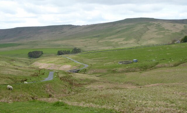
Canker Cleugh is a picturesque valley located in the county of Northumberland, in the north of England. Nestled in the North Pennines Area of Outstanding Natural Beauty, this enchanting landscape offers visitors a tranquil and scenic retreat.
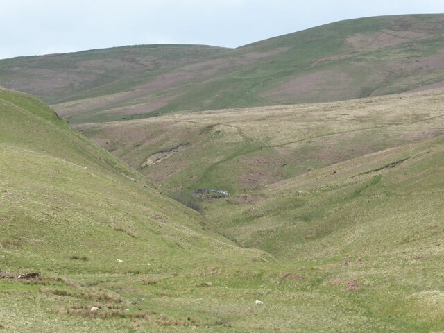
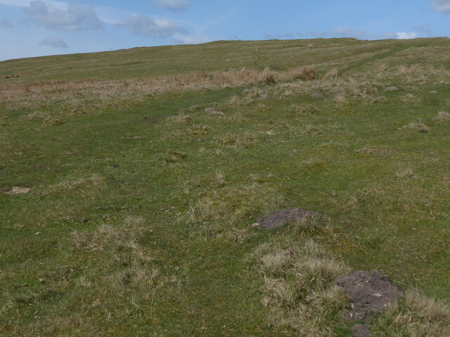
The valley is characterized by its rolling hills, dense woodlands, and meandering streams that flow through the heart of the Cleugh. The name "Canker Cleugh" is derived from the Old English word "cancere," meaning "a ravine," which perfectly describes the steep-sided valley that stretches for approximately three miles.
The area is renowned for its rich biodiversity, with a variety of plant and animal species calling Canker Cleugh home. The woodlands are particularly notable, boasting ancient trees such as oak, birch, and rowan. These provide a habitat for a diverse range of wildlife, including red squirrels, badgers, and numerous bird species.
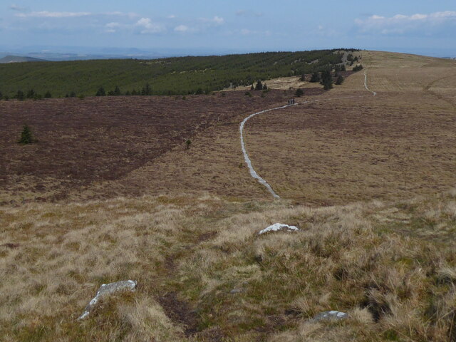
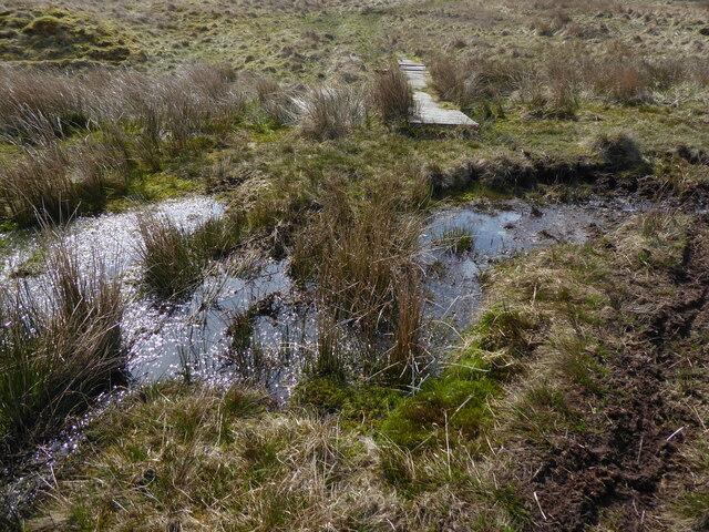
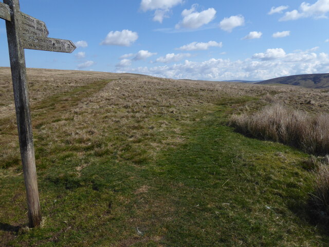
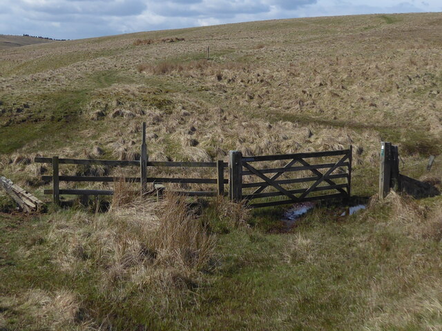
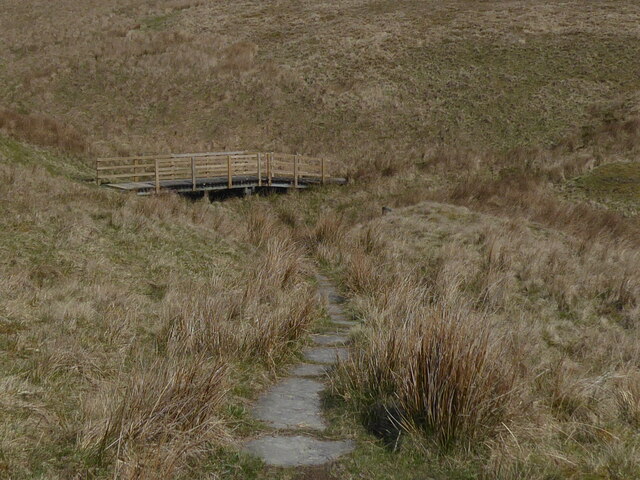
For outdoor enthusiasts, Canker Cleugh offers a plethora of activities. The valley is crisscrossed with well-maintained footpaths, providing excellent opportunities for hiking and exploring. The picturesque Cleugh Burn, a charming stream that winds its way through the valley, is an ideal spot for picnicking or simply enjoying the peaceful ambiance.
History enthusiasts will also find interest in Canker Cleugh. The area is scattered with remnants of its industrial past, including the remains of lead mines and quarries. These historical features provide a glimpse into the region's mining heritage.
Overall, Canker Cleugh is a hidden gem within Northumberland, offering visitors a chance to immerse themselves in the beauty of nature while exploring its diverse wildlife and rich history.
If you have any feedback on the listing, please let us know in the comments section below.
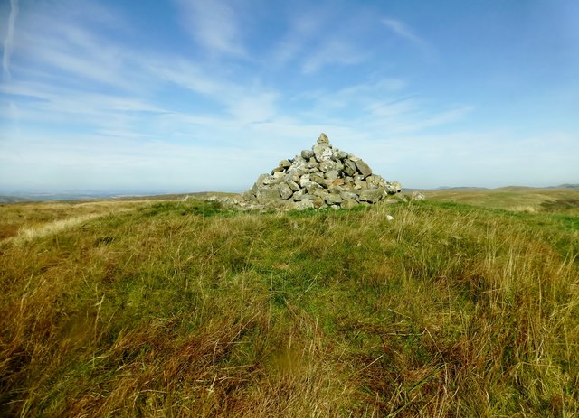
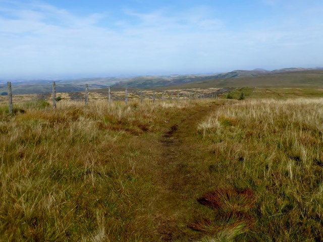
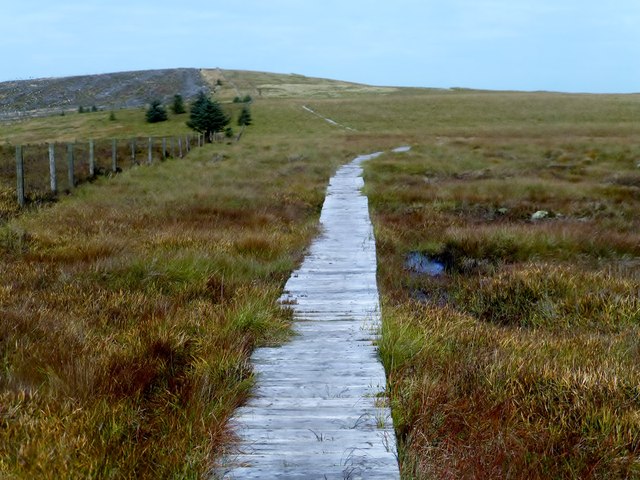
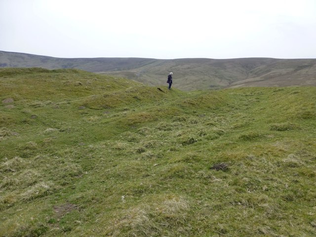
Canker Cleugh Images
Images are sourced within 2km of 55.357461/-2.3248754 or Grid Reference NT7907. Thanks to Geograph Open Source API. All images are credited.


Canker Cleugh is located at Grid Ref: NT7907 (Lat: 55.357461, Lng: -2.3248754)
Unitary Authority: Northumberland
Police Authority: Northumbria
What 3 Words
///testy.repeating.inhabited. Near Rochester, Northumberland
Nearby Locations
Related Wikis

Chew Green
Chew Green is the site of the ancient Roman encampment, commonly but erroneously called Ad Fines (Latin: The Limits) on the 1885-1900 edition of the Ordnance...

Featherwood Roman Camps
Featherwood Roman Camps are neighbouring archaeological sites in Northumberland, England, 1 mile (1.6 km) north of Featherwood and about 3 miles (5 km...
Byrness
Byrness is a village within Rochester civil parish in Northumberland, England. It is approximately 37 miles (60 km) north-west of Newcastle upon Tyne on...

Cottonshopeburnfoot
Cottonshopeburnfoot is a hamlet in Redesdale in Northumberland, England. It lies on the A68 road, 2 miles south east of the village of Byrness. The hamlet...

Ramshope
Ramshope is a hamlet and former civil parish, now in the parish of Rochester in Northumberland, England located in Northumberland National Park. It lies...

A68 road
The A68 is a major road in the United Kingdom, running from Darlington in England to the A720 in Edinburgh, the capital of Scotland. It crosses the Anglo...

Barrow Burn
Barrowburn is a hamlet in Upper Coquetdale in the county of Northumberland, England. It comprises a working farm with associated buildings and two holiday...

Pennymuir Roman camps
The Pennymuir Roman camps are situated southeast of Jedburgh in the Scottish Borders area of Scotland, near the Anglo-Scottish border, in the former Roxburghshire...
Related Videos


Dropping into upper coquet valley
Driving into upper coquet valley from the back of otterburn ranges on a crisp wintry day. #uppercoquet #northumberland #vrstdi ...
Have you been to Canker Cleugh?
Leave your review of Canker Cleugh below (or comments, questions and feedback).