Carling Den

Valley in Kincardineshire

Scotland

Carling Den

Entering the woodland surrounding Banff Burn Photographer is standing on the roadway verge.
Entering the woodland surrounding Banff Burn Credit: C Michael Hogan

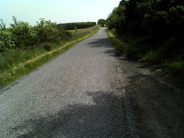
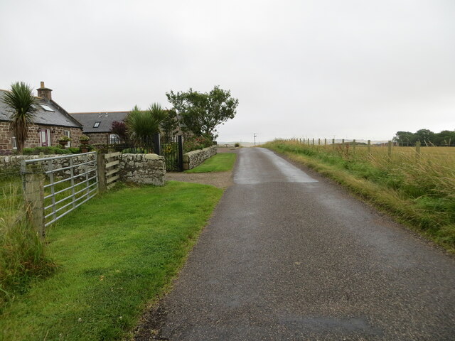
Carling Den is a stunningly picturesque valley located in Kincardineshire, Scotland. Nestled between the majestic hills and surrounded by lush greenery, it is a popular tourist destination and a haven for nature enthusiasts. The valley stretches for approximately 2 miles and is known for its breathtaking beauty and tranquil atmosphere.

The main highlight of Carling Den is the Carling Burn that flows through the valley, creating a series of cascading waterfalls and pools. These natural features provide a soothing ambiance and offer visitors the opportunity to relax and unwind in a peaceful setting. The crystal-clear waters of the burn are also a popular spot for fishing enthusiasts.

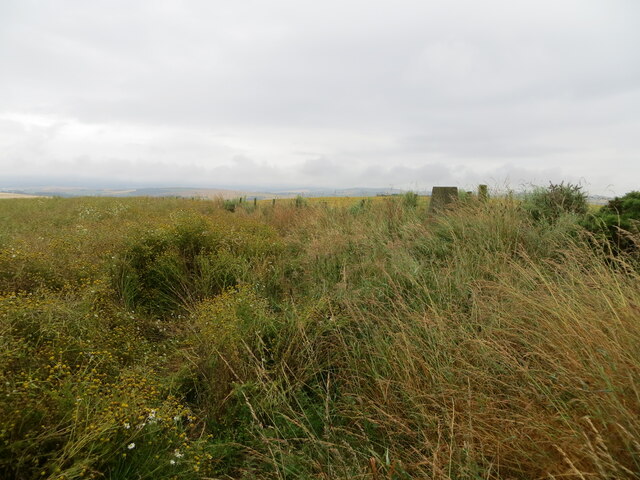
The valley is home to a diverse range of flora and fauna, with several species of rare plants and animals inhabiting the area. It is a designated Site of Special Scientific Interest due to its ecological importance and biodiversity. Visitors can explore the valley through various walking trails and enjoy the stunning views of the surrounding hills and countryside.

Carling Den also has historical significance, with remnants of ancient settlements and stone circles scattered throughout the area. These archaeological sites provide a glimpse into the valley's rich history and cultural heritage.

Overall, Carling Den in Kincardineshire offers visitors a unique and enchanting experience, combining natural beauty, tranquility, and historical intrigue. It is a must-visit destination for anyone seeking to escape the hustle and bustle of everyday life and immerse themselves in the wonders of nature.

If you have any feedback on the listing, please let us know in the comments section below.
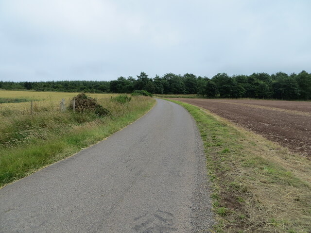
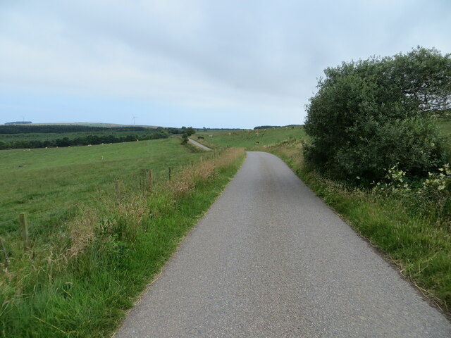
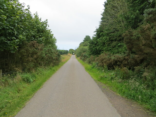
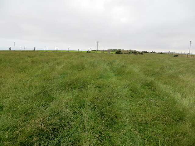
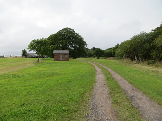
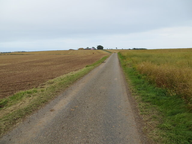
Carling Den Images

Images are sourced within 2km of 56.840453/-2.3401095 or Grid Reference NO7972. Thanks to Geograph Open Source API. All images are credited.

Entering the woodland surrounding Banff Burn Photographer is standing on the roadway verge.
Entering the woodland surrounding Banff Burn
Photographer is standing on the roadway verge.
Minor road at Anniston Farm Looking north-eastward.
Minor road at Anniston Farm
Looking north-eastward.
Track giving access to Upper Knox Farm Looking south-westward.
Track giving access to Upper Knox Farm
Looking south-westward.
An area of wilderness at Knox Hill Triangulation Pillar Looking north-westward.
An area of wilderness at Knox Hill Triangulation Pillar
Looking north-westward.
Ordnance Survey Cut Mark This mark can be found on the roadside boundary wall of Anniston.
The recorded details give a height of 119.4207 metres above sea level.
For more detail see : <span class="nowrap"><a title="https://www.bench-marks.org.uk/bm162231" rel="nofollow ugc noopener" href="https://www.bench-marks.org.uk/bm162231">Link</a><img style="margin-left:2px;" alt="External link" title="External link - shift click to open in new window" src="https://s1.geograph.org.uk/img/external.png" width="10" height="10"/></span>
Ordnance Survey Cut Mark
This mark can be found on the roadside boundary wall of Anniston. The recorded details give a height of 119.4207 metres above sea level. For more detail see : LinkExternal link
Ordnance Survey Cut Mark with Rivet A handy stone upon which to tie a shoelace beside the track on Dendoldrum Hill turned out to be a boundary stone with this benchmark.
The recorded details give a height of 146.938 metres above sea level.
For more detail see : <span class="nowrap"><a title="https://www.bench-marks.org.uk/bm162327" rel="nofollow ugc noopener" href="https://www.bench-marks.org.uk/bm162327">Link</a><img style="margin-left:2px;" alt="External link" title="External link - shift click to open in new window" src="https://s1.geograph.org.uk/img/external.png" width="10" height="10"/></span>
Ordnance Survey Cut Mark with Rivet
A handy stone upon which to tie a shoelace beside the track on Dendoldrum Hill turned out to be a boundary stone with this benchmark. The recorded details give a height of 146.938 metres above sea level. For more detail see : LinkExternal link
Minor road approaching Banff Wood Looking south-eastward.
Minor road approaching Banff Wood
Looking south-eastward.
Minor road near to Banff Looking south-eastward.
Minor road near to Banff
Looking south-eastward.
Tree enclosed minor road near Thief Slack Looking south-eastward.
Tree enclosed minor road near Thief Slack
Looking south-eastward.
Grassland on Kenshot Hill Looking south-westward to the Triangulation Pillar. Also named King's Seat Hill.
Grassland on Kenshot Hill
Looking south-westward to the Triangulation Pillar. Also named King's Seat Hill.
Minor road at Jack's Corse Looking westward.
Minor road at Jack's Corse
Looking westward.
Track giving access to Woodside of Benholm Looking north-westward.
Track giving access to Woodside of Benholm
Looking north-westward.
Minor road between East Hairmuir and Anniston Looking north-eastward.
Minor road between East Hairmuir and Anniston
Looking north-eastward.
Minor road heading towards Tullo' of Benholm Looking south-eastward.
Minor road heading towards Tullo' of Benholm
Looking south-eastward.
Ordnance Survey Cut Mark This mark can be found on the wall of a small brick building at Woodside.
The recorded details give a height of 128.7506 metres above sea level.
For more detail see : <span class="nowrap"><a title="https://www.bench-marks.org.uk/bm162436" rel="nofollow ugc noopener" href="https://www.bench-marks.org.uk/bm162436">Link</a><img style="margin-left:2px;" alt="External link" title="External link - shift click to open in new window" src="https://s1.geograph.org.uk/img/external.png" width="10" height="10"/></span>
Ordnance Survey Cut Mark
This mark can be found on the wall of a small brick building at Woodside. The recorded details give a height of 128.7506 metres above sea level. For more detail see : LinkExternal link
Ordnance Survey Cut Mark This mark can be found on a roadside concrete fence post.
The recorded details give a height of 117.5705 metres above sea level. As the fence post has at some time been side swiped the height figure is now historical.
For more detail see : <span class="nowrap"><a title="https://www.bench-marks.org.uk/bm162445" rel="nofollow ugc noopener" href="https://www.bench-marks.org.uk/bm162445">Link</a><img style="margin-left:2px;" alt="External link" title="External link - shift click to open in new window" src="https://s1.geograph.org.uk/img/external.png" width="10" height="10"/></span>
Ordnance Survey Cut Mark
This mark can be found on a roadside concrete fence post. The recorded details give a height of 117.5705 metres above sea level. As the fence post has at some time been side swiped the height figure is now historical. For more detail see : LinkExternal link
Straight level road north of Anniston The roadway surface is in extremely good maintenance, given the out of the way nature of this route. Photographer is standing along the roadway verge.
Straight level road north of Anniston
The roadway surface is in extremely good maintenance, given the out of the way nature of this route. Photographer is standing along the roadway verge.
Turbine on Craig Garbill Seen from the minor road, the turbine is 47m tall.
Turbine on Craig Garbill
Seen from the minor road, the turbine is 47m tall.
Show me another place!

Carling Den is located at Grid Ref: NO7972 (Lat: 56.840453, Lng: -2.3401095)

Unitary Authority: Aberdeenshire

Police Authority: North East

What 3 Words

///cases.diver.paying. Near Inverbervie, Aberdeenshire

Nearby Locations

Carling Den

Related Wikis

Arbuthnott Parish Kirk

Arbuthnott Parish Kirk is a church in Arbuthnott, Aberdeenshire, Scotland. Now a Category A listed building, it was built in at least the 13th century...

Allardice Castle

Allardice Castle (also spelled Allardyce) is a sixteenth-century manor house in Kincardineshire, Scotland. It is approximately 1.5 kilometres north-west...

Benholm

Benholm is a small settlement in Aberdeenshire, Scotland, UK. It is now a conservation area and is home to Benholm Mill.The A92 passes the eastern edge...

Benholm Mill

Benholm Mill in Kincardineshire, Scotland, is a restored and fully working water-powered meal mill. It is sited in ancient woodland near Johnshaven (13...

Nearby Amenities

Located within 500m of 56.840453,-2.3401095
Passing Place
Lat/Long: 56.842571/-2.3423787
Passing Place
Lat/Long: 56.8423585/-2.3440183
Passing Place
Lat/Long: 56.8433179/-2.3384259
Power: pole
Lat/Long: 56.8394799/-2.3328244
Power: pole
Lat/Long: 56.8394883/-2.3341507
Power: pole
Lat/Long: 56.8394944/-2.3353041
Power: pole
Lat/Long: 56.8394968/-2.3364863
Power: pole
Lat/Long: 56.8395235/-2.337715
Power: pole
Lat/Long: 56.8395065/-2.3390836
Power: pole
Lat/Long: 56.8392142/-2.3398221
Power: pole
Lat/Long: 56.8388963/-2.3406251
Power: pole
Lat/Long: 56.8385432/-2.341499
Power: pole
Lat/Long: 56.8368592/-2.3449003
Power: pole
Lat/Long: 56.8372541/-2.3440785
Power: pole
Lat/Long: 56.8376788/-2.3431647
Power: pole
Lat/Long: 56.8381247/-2.3422076
The data included in this document is from www.openstreetmap.org. The data is made available under ODbL.

Have you been to Carling Den?

Leave your review of Carling Den below (or comments, questions and feedback).