Broomy Bank Dingle

Valley in Worcestershire Malvern Hills

England

Broomy Bank Dingle

Country scene north of The Coppice Leisure Park
Country scene north of The Coppice Leisure Park Credit: Alex McGregor

Broomy Bank Dingle, located in Worcestershire, England, is a picturesque valley renowned for its natural beauty and tranquil surroundings. Nestled within the Malvern Hills, this idyllic dingle is a haven for nature enthusiasts and offers a delightful escape from the bustling city life.

The dingle is characterized by its lush greenery, abundant wildlife, and a meandering stream that flows through its heart. Towering trees, including oak, beech, and ash, create a canopy overhead, casting dappled shadows on the forest floor. The biodiversity of Broomy Bank Dingle is remarkable, with a diverse range of flora and fauna found within its boundaries.

Visitors to Broomy Bank Dingle can enjoy a network of well-maintained footpaths that meander through the valley, providing a perfect opportunity for leisurely walks and hikes. The scenic trails offer breathtaking views of the surrounding countryside, with glimpses of the Worcestershire Beacon and other peaks of the Malvern Hills.

The dingle is also home to a variety of wildlife, including deer, badgers, foxes, and numerous bird species. Birdwatchers can spot woodpeckers, owls, and various songbirds in their natural habitat. The stream that runs through the dingle is teeming with aquatic life, with the occasional sighting of kingfishers and herons.

Broomy Bank Dingle is a true gem of Worcestershire, attracting visitors throughout the year who seek solace in its peaceful ambiance and enchanting natural beauty. Whether it is a leisurely stroll, birdwatching, or simply immersing oneself in nature, this picturesque valley offers an unforgettable experience for those who venture into its embrace.

If you have any feedback on the listing, please let us know in the comments section below.

Broomy Bank Dingle Images

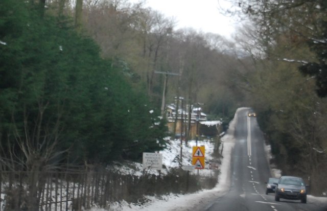
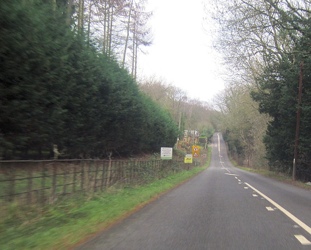
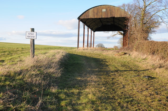
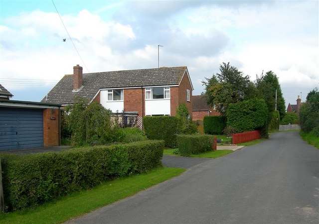
Images are sourced within 2km of 52.275727/-2.304631 or Grid Reference SO7964. Thanks to Geograph Open Source API. All images are credited.

Country scene north of The Coppice Leisure Park
Entering Little Witley (A4133)
A4133, Little Witley
A4133 entering Little Whitley Westbound
A4133 entering Little Whitley
Westbound
Road junction at Little Witley opposite The Lodge
A443 near Warford Pool Sign for the church turn off can be seen in the distance. Looking west
A443 near Warford Pool
Sign for the church turn off can be seen in the distance. Looking west
St Michael’s Church, Little Witley Although there has been a church from the 13th Century, the present building dates from 1867 when it was re-built in the ‘Early English’ style by Abraham Edward Perkins, Worcester’s church architect. The new nave walls were built on the lower red sandstone courses of the old church but the footprint was extended with the addition of an apsidal east end and vestry.
St Michael’s Church, Little Witley
Although there has been a church from the 13th Century, the present building dates from 1867 when it was re-built in the ‘Early English’ style by Abraham Edward Perkins, Worcester’s church architect. The new nave walls were built on the lower red sandstone courses of the old church but the footprint was extended with the addition of an apsidal east end and vestry.
Dutch barn Dutch barn and sign warning of 'No public right of way', with from Ockeridge Lane.
Dutch barn
Dutch barn and sign warning of 'No public right of way', with from Ockeridge Lane.
The A443, Little Witley View to the east along the A443 at Little Witley.
The A443, Little Witley
View to the east along the A443 at Little Witley.
The former Rose & Crown (1), at Shrawley, Worcs This former public house closed over a year ago and permission has now been given to convert it into private residential accommodation. It used to be a Marston's house and the building itself is Grade II listed. It dates from the early 19th century with parts dating from the 20th century. It started life as a house, then became licensed premises and will shortly revert to residential use, so it has in effect come full circle. A sad loss to local amenities, but fortunately the village still has the New Inn and nearby is the Lenchford Inn.

<a href="https://www.geograph.org.uk/photo/3431892">SO7965 : The former Rose & Crown (2), at Shrawley, Worcs</a>.
The former Rose & Crown (1), at Shrawley, Worcs
This former public house closed over a year ago and permission has now been given to convert it into private residential accommodation. It used to be a Marston's house and the building itself is Grade II listed. It dates from the early 19th century with parts dating from the 20th century. It started life as a house, then became licensed premises and will shortly revert to residential use, so it has in effect come full circle. A sad loss to local amenities, but fortunately the village still has the New Inn and nearby is the Lenchford Inn. SO7965 : The former Rose & Crown (2), at Shrawley, Worcs.
The former Rose & Crown (2), at Shrawley, Worcs This former pub is on the B4196 road, which runs through the straggly village of Shrawley. It used to have a traditional hanging sign outside but that has already gone and it now awaits conversion into residential accommodation. See also:- <a href="https://www.geograph.org.uk/photo/3431880">SO7965 : The former Rose & Crown (1), at Shrawley, Worcs</a>.
The former Rose & Crown (2), at Shrawley, Worcs
This former pub is on the B4196 road, which runs through the straggly village of Shrawley. It used to have a traditional hanging sign outside but that has already gone and it now awaits conversion into residential accommodation. See also:- SO7965 : The former Rose & Crown (1), at Shrawley, Worcs.
The B4196 road near the former Rose & Crown pub, Shrawley, Worcs The road is heading in the direction of Stourport-on-Severn. The former pub is behind the temporary fencing on the left.

<a href="https://www.geograph.org.uk/photo/3431880">SO7965 : The former Rose & Crown (1), at Shrawley, Worcs</a>.
The B4196 road near the former Rose & Crown pub, Shrawley, Worcs
The road is heading in the direction of Stourport-on-Severn. The former pub is behind the temporary fencing on the left. SO7965 : The former Rose & Crown (1), at Shrawley, Worcs.
Track to Holt Mill The track is signed on the left and is marked as a bridleway
Track to Holt Mill
The track is signed on the left and is marked as a bridleway
Bus stop at Little Witley The bus stop is on the main road to the east of the village, about 150 metres from a side road with a cluster of houses
Bus stop at Little Witley
The bus stop is on the main road to the east of the village, about 150 metres from a side road with a cluster of houses
Between Little and Great Witley The road crests this slight rise and then drops gently to the valley (Watkin's Dingle).  The woods ahead are part of the Witley Court estate
Between Little and Great Witley
The road crests this slight rise and then drops gently to the valley (Watkin's Dingle). The woods ahead are part of the Witley Court estate
The woods of Watkin's Dingle Watkin's Dingle fills the valley on the right of the A4133.  The hedge and woods on the left are part of the  Witley Court estate
The woods of Watkin's Dingle
Watkin's Dingle fills the valley on the right of the A4133. The hedge and woods on the left are part of the Witley Court estate
Worcester Lodge of Witley Court
Head's Mill Wheelpit -- between Eastgrove Farm and Shrawley Brook This site was excavated in 2012 by the North Worcestershire Archeology Group. The Project Report#105 is available as a pdf file.
Head's Mill Wheelpit -- between Eastgrove Farm and Shrawley Brook
This site was excavated in 2012 by the North Worcestershire Archeology Group. The Project Report#105 is available as a pdf file.
Show me another place!

Broomy Bank Dingle is located at Grid Ref: SO7964 (Lat: 52.275727, Lng: -2.304631)

Administrative County: Worcestershire

District: Malvern Hills

Police Authority: West Mercia

What 3 Words

///haggle.expel.craft. Near Hallow, Worcestershire

Related Wikis

Sankyns Green

Sankyns Green is a hamlet within the civil parish of Shrawley in Worcestershire, England.

Little Witley

Little Witley is a village and civil parish in the Malvern Hills District in the county of Worcestershire, England. == History == === Pre-history === There...

Shrawley

Shrawley is a village and civil parish in the Malvern Hills District in the county of Worcestershire, England. The village is situated on the western bank...

Frog Pool

Frog Pool is a hamlet within the civil parish of Shrawley in Worcestershire, England. == References ==

Nearby Amenities

Located within 500m of 52.275727,-2.304631
Power: pole
Lat/Long: 52.2787041/-2.3007986
Eastgrove Farm
Power: pole
Transformer: distribution
Voltage Primary: 11000
Lat/Long: 52.2775454/-2.3006162
Power: pole
Lat/Long: 52.2781035/-2.3007288
Power: pole
Lat/Long: 52.279298/-2.300879
Location Transition: yes
Power: pole
Lat/Long: 52.2761742/-2.2974971
Power: pole
Lat/Long: 52.2763309/-2.2980979
Power: pole
Lat/Long: 52.2764802/-2.2986773
Power: pole
Lat/Long: 52.2766411/-2.2992298
Power: pole
Lat/Long: 52.2767313/-2.2996214
Power: pole
Lat/Long: 52.2768216/-2.299946
Power: pole
Lat/Long: 52.277076/-2.3003027
Power: pole
Lat/Long: 52.2773024/-2.3005682
The data included in this document is from www.openstreetmap.org. The data is made available under ODbL.

Have you been to Broomy Bank Dingle?

Leave your review of Broomy Bank Dingle below (or comments, questions and feedback).