Ledbury

Settlement in Herefordshire

England

Ledbury

River Leadon Weir
River Leadon Weir Credit: Mr M Evison

Ledbury is a small market town situated in the county of Herefordshire, England. It is located on the eastern side of the Herefordshire countryside, nestled in the beautiful landscape of the Malvern Hills. The town covers an area of approximately 7.65 square miles and has a population of around 10,000 residents.

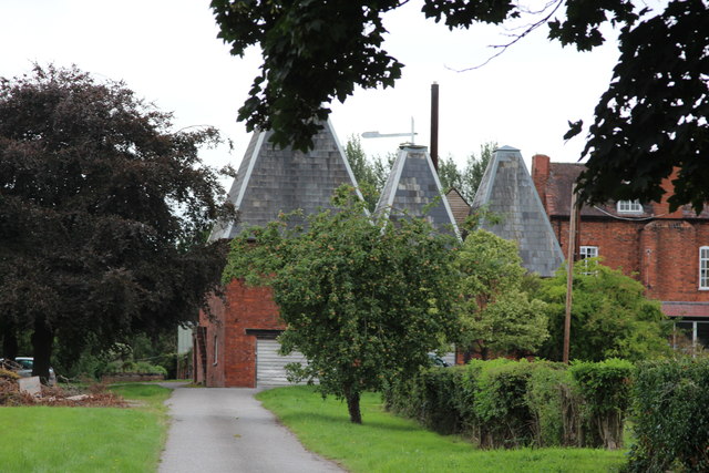
Ledbury holds a rich history that dates back to the 12th century, evident in its well-preserved architecture. The town's most notable landmark is the stunning St. Michael and All Angels Church, which features a unique detached bell tower built in the 14th century. Ledbury also boasts numerous timber-framed buildings, including the Market House, a striking black-and-white structure that serves as a focal point for the town's bustling market.

The town has a vibrant community and offers a range of amenities to its residents and visitors. It has a variety of independent shops, cafes, and restaurants, offering a diverse culinary experience. The annual Ledbury Poetry Festival attracts renowned poets and literary enthusiasts from around the world, making Ledbury a hub for cultural events.

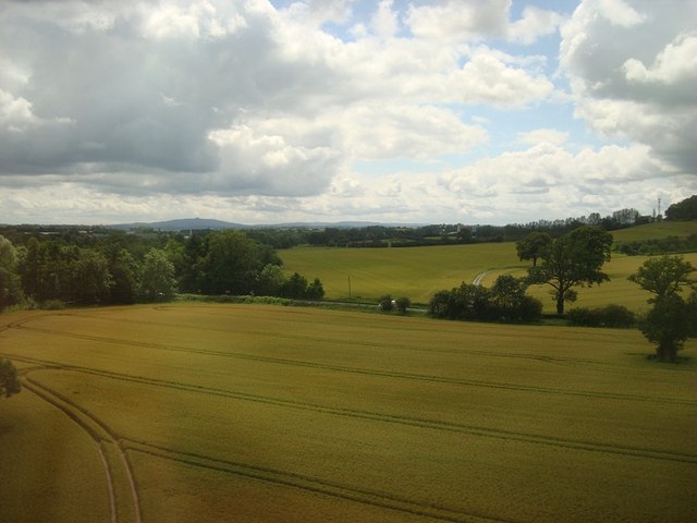
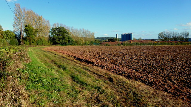
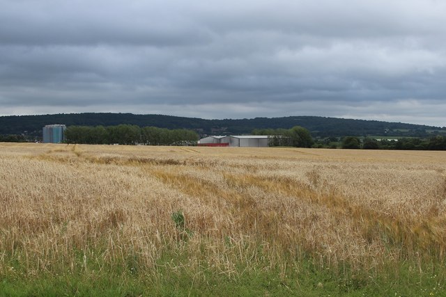
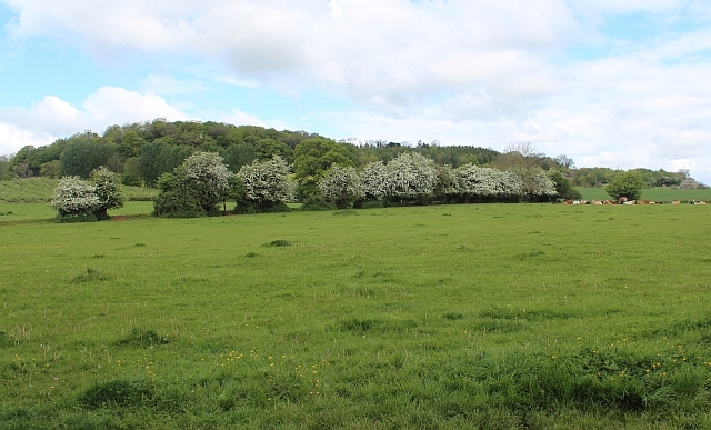
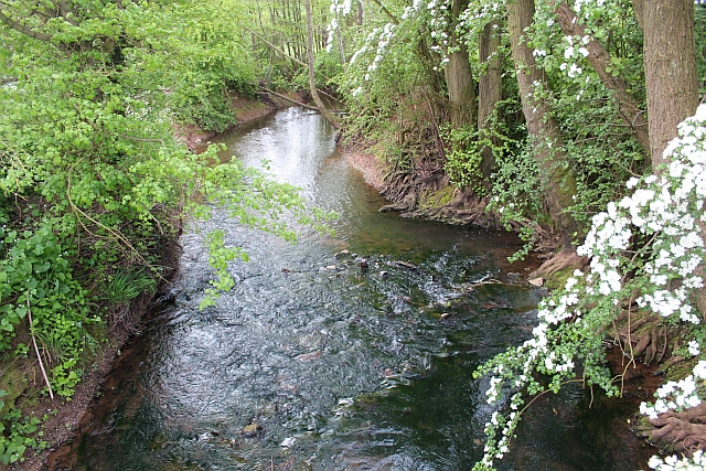
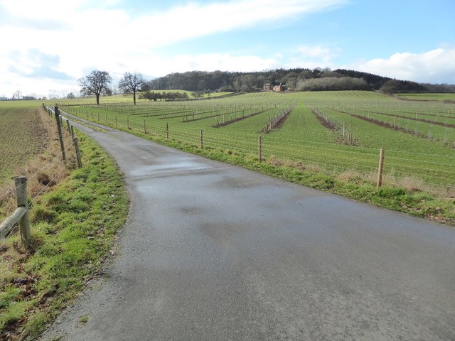
Ledbury is also surrounded by picturesque countryside, providing ample opportunities for outdoor activities such as walking, cycling, and horse riding. The nearby Malvern Hills offer stunning panoramic views, while the historic Eastnor Castle and Gardens provide a glimpse into the area's past.

Overall, Ledbury is a charming town that combines its rich heritage with a thriving community and picturesque surroundings, making it an attractive destination for both residents and tourists alike.

If you have any feedback on the listing, please let us know in the comments section below.
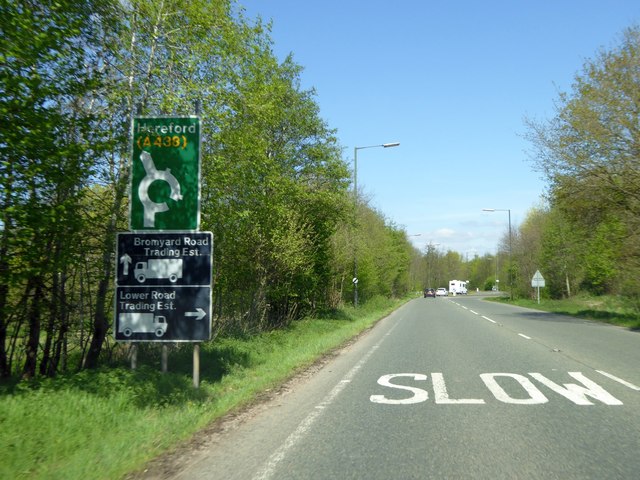
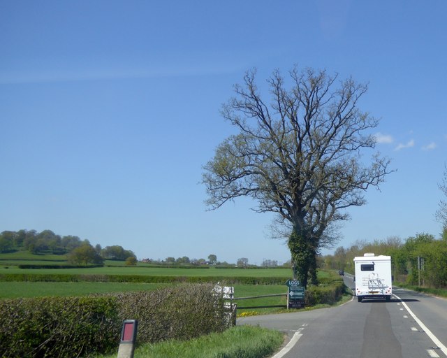
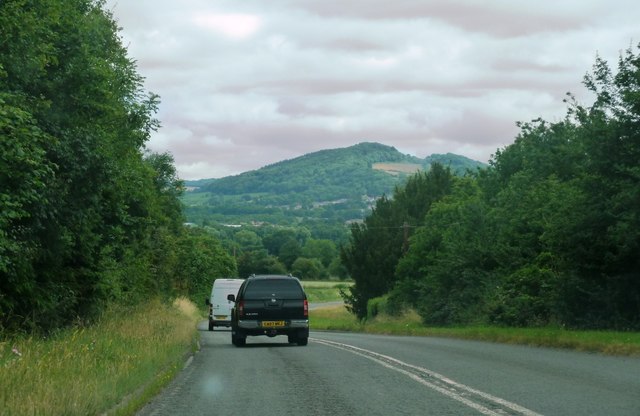
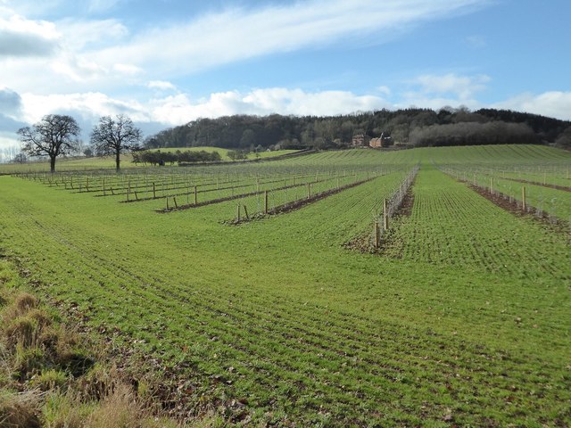
Ledbury Images

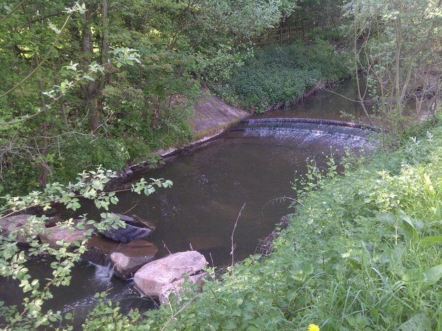
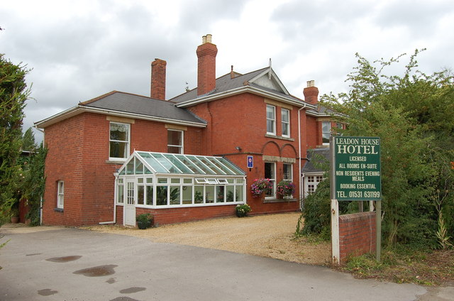
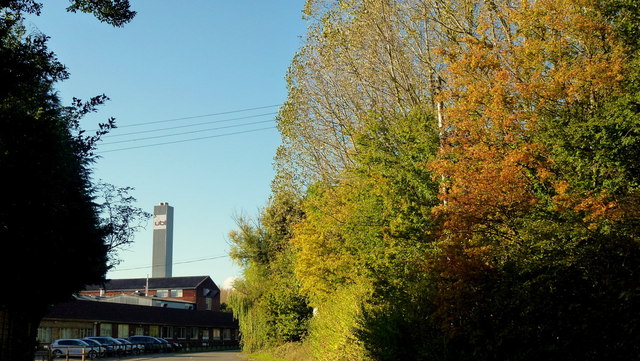
Images are sourced within 2km of 52.035812/-2.4223448 or Grid Reference SO7137. Thanks to Geograph Open Source API. All images are credited.

River Leadon Weir
River Leadon Weir
Leadon House Hotel
Leadon House Hotel
Arable Fields, Ledbury
Autumn colour by the UBL factory A modern conversion of the old Robertson's jam factory on Little Marcle Road, Ledbury.
UBL process fruit as well as can and bottle beverages.
Autumn colour by the UBL factory
A modern conversion of the old Robertson's jam factory on Little Marcle Road, Ledbury. UBL process fruit as well as can and bottle beverages.
Open fields west of the UBL factory Arable land to the west of Ladbury.
UBL process fruit as well as can and bottle beverages.
Open fields west of the UBL factory
Arable land to the west of Ladbury. UBL process fruit as well as can and bottle beverages.
Oast House at Fairtree Farm, Little Marcle Road, Ledbury
Oast House at Walls Hill House, Hereford Road, Ledbury Single round kiln oast house.
Oast House at Walls Hill House, Hereford Road, Ledbury
Single round kiln oast house.
Oast House at Walls Hill House, Hereford Road, Ledbury Single round kiln oast house.
Oast House at Walls Hill House, Hereford Road, Ledbury
Single round kiln oast house.
Field off Little Marcle Road
Hawthorn hedge, Wall Hills, Ledbury Startlingly white with May blossom.
The hill in the background, known as Wall Hills, was an iron age hill fort.
Hawthorn hedge, Wall Hills, Ledbury
Startlingly white with May blossom. The hill in the background, known as Wall Hills, was an iron age hill fort.
River Leadon Flowing through the strip of parkland formed by the construction of the Ledbury by pass.
River Leadon
Flowing through the strip of parkland formed by the construction of the Ledbury by pass.
Weir on the river Leadon Viewed from the riverside park formed when the Ledbury bypass was constructed.
Weir on the river Leadon
Viewed from the riverside park formed when the Ledbury bypass was constructed.
Ledbury bypass approaching industrial estate roundabout Approaching the access roads to Galebreaker House New Mills estate
Ledbury bypass approaching industrial estate roundabout
Approaching the access roads to Galebreaker House New Mills estate
Turning for Wallhills from Hereford Road, Ledbury
Downhill views on Ross Road Looking along the A449 approaching Ledbury, with hills in background.
Downhill views on Ross Road
Looking along the A449 approaching Ledbury, with hills in background.
Wallhills Farm and young orchard This farmland has been photographed over the years recording the land use <a href="https://www.geograph.org.uk/photo/4144">SO6938 : Wall Hills Farm and Iron Age Hill Fort, Ledbury</a> <a href="https://www.geograph.org.uk/photo/318187">SO6938 : Wallhills Farm, Ledbury</a> <a href="https://www.geograph.org.uk/photo/2228090">SO6938 : Wallhills</a>, in the past twelve months fruit trees have been planted in this field.
Wallhills Farm and young orchard
This farmland has been photographed over the years recording the land use SO6938 : Wall Hills Farm and Iron Age Hill Fort, Ledbury SO6938 : Wallhills Farm, Ledbury SO6938 : Wallhills, in the past twelve months fruit trees have been planted in this field.
Drive to Wallhills Farm Entrance and drive to Wallhills Farm viewed from the A438.
Drive to Wallhills Farm
Entrance and drive to Wallhills Farm viewed from the A438.
Ledbury Rugby Football Club
Show me another place!

Ledbury is located at Grid Ref: SO7137 (Lat: 52.035812, Lng: -2.4223448)

Unitary Authority: County of Herefordshire

Police Authority: West Mercia

What 3 Words

///wrist.coarser.bribing. Near Ledbury, Herefordshire

Nearby Locations

Coneygree Wood Ledbury

Related Wikis

Ledbury Market Hall

Ledbury Market Hall, also known as Ledbury Town Hall, is a municipal building in the High Street in Ledbury, Herefordshire, England. The structure, which...

Church of St Michael and All Angels, Ledbury

The Church of St Michael and All Angels is an Anglican church in Ledbury, in Herefordshire, England. The oldest parts date from the 12th century, and most...

Ledbury

Ledbury is a market town and civil parish in the county of Herefordshire, England, lying east of Hereford, and west of the Malvern Hills. It has a significant...

Ledbury Town Halt railway station

Ledbury Town Halt was one of two stations serving the town of Ledbury. It was situated at the junction of Bridge Street and Bye Street, just to the north...

Nearby Amenities

Located within 500m of 52.035812,-2.4223448
Traffic Signals
Traffic Signals: traffic_lights
Traffic Signals Direction: backward
Lat/Long: 52.0358149/-2.4211194
Traffic Signals
Traffic Signals: traffic_lights
Traffic Signals Direction: forward
Lat/Long: 52.0357786/-2.4226767
Barrier: bollard
Lat/Long: 52.0371647/-2.4225761
Barrier: bollard
Lat/Long: 52.0371861/-2.4215304
Crossing
Crossing: traffic_signals
Crossing Island: no
Crossing Ref: pelican
Tactile Paving: yes
Lat/Long: 52.0364931/-2.4226082
Traffic Signals
Traffic Signals: traffic_lights
Traffic Signals Direction: forward
Lat/Long: 52.0360279/-2.4224192
Traffic Signals
Traffic Signals: traffic_lights
Traffic Signals Direction: forward
Lat/Long: 52.03566/-2.4222965
Library
Ledbury Library
Addr City: Ledbury
Addr Housename: The Master's House
Addr Postcode: HR8 1EA
Addr Street: Bye Street
Opening Hours: Mo,Th,Fr 09:30-16:30; Tu 09:30-18:00; We off; Sa 09:00-12:30; Su off
Operator: Herefordshire Council
Source: survey
Source Addr Postcode: code-point_open
Website: https://www.herefordshire.gov.uk/directory-record/27/ledbury-library
Wheelchair: yes
Lat/Long: 52.036558/-2.4234444
Post Box
Brand: Royal Mail
Brand Wikidata: Q638098
Collection Times: Mo-Fr 17:30; Sa 12:00
Drive Through: no
Operator: Royal Mail
Operator Wikidata: Q638098
Post Box Apertures: 2
Post Box Design: type_c
Post Box Type: pillar
Ref: HR8 1290;HR8 129
Royal Cypher: EIIR
Royal Cypher Wikidata: Q33102113
Source: GPS Survey
Lat/Long: 52.0376332/-2.4234139
Post Office
Ledbury Post Office
Addr City: Ledbury
Addr Country: GB
Addr Housenumber: 10
Addr Postcode: HR8 1BT
Addr Street: The Homend
Brand: Post Office
Brand Wikidata: Q1783168
Opening Hours: Mo-We,Fr 09:00-17:30; Th 09:00-12:00,13:00-17:30; Sa 09:00-12:30
Ref Pol Id: 6962
Website: https://www.postoffice.co.uk/branch-finder/2016184/ledbury
Lat/Long: 52.037405/-2.4238034
Bus Stop
Bye Street
Bus: yes
Naptan AtcoCode: 2090A0106122
Naptan Bearing: W
Naptan CommonName: Bye Street
Naptan Indicator: opp Fire Station
Naptan Landmark: Fire Station
Naptan NaptanCode: heratgjp
Naptan Street: Bye Street
Naptan Verified: no
Public Transport: platform
Source: naptan_import
Lat/Long: 52.0367188/-2.4249187
Bus Stop
Memorial
Alt Name: Market House
Bench: yes
Bin: yes
Bus: yes
Lit: yes
Naptan AltCommonName: Market House
Naptan AltStreet: Not Specified
Naptan AtcoCode: 2090A044400
Naptan Bearing: N
Naptan CommonName: Memorial
Naptan Indicator: adj
Naptan Landmark: War Memorial- Market House
Naptan NaptanCode: heraptwj
Naptan Street: High Street
Naptan Verified: no
Public Transport: platform
Shelter: yes
Source: naptan_import
Tactile Paving: no
Lat/Long: 52.0367953/-2.4228631
Market House
Naptan AtcoCode: 2090A044401
Naptan Bearing: S
Naptan BusStopType: CUS
Naptan CommonName: Market House
Naptan Indicator: adj
Naptan Landmark: Market House
Naptan NaptanCode: heraptwm
Naptan Street: High Street
Naptan Verified: no
Source: naptan_import
Lat/Long: 52.0369694/-2.4227343
Bus Stop
Bus: yes
Naptan AtcoCode: 2090A044402
Naptan Bearing: NE
Naptan CommonName: Somerfield Store
Naptan Indicator: adj
Naptan Landmark: N/K
Naptan NaptanCode: heraptwp
Naptan Street: New Street
Naptan Verified: no
Public Transport: platform
Source: naptan_import
Lat/Long: 52.0349692/-2.425966
Bus Stop
The Southend
Bus: yes
Naptan AtcoCode: 2090A20169
Naptan Bearing: N
Naptan CommonName: The Southend
Naptan Indicator: adj No 40
Naptan Landmark: No 40 The Southend
Naptan NaptanCode: herapamg
Naptan Street: The Southend. A449
Naptan Verified: no
Public Transport: platform
Source: naptan_import
Lat/Long: 52.0339865/-2.4221668
Bus Stop
The Southend
Bus: yes
Naptan AtcoCode: 2090A20171
Naptan Bearing: S
Naptan CommonName: The Southend
Naptan Indicator: opp No 43
Naptan Landmark: No 43 The Southend
Naptan NaptanCode: herapamj
Naptan Street: The Southend. A449
Naptan Verified: no
Public Transport: platform
Shelter: no
Source: naptan_import
Lat/Long: 52.0338793/-2.4219617
Bus Stop
Old Hospital
Alt Name: Belle Orchard
Bus: yes
Naptan AltCommonName: Belle Orchard
Naptan AltStreet: Not Specified
Naptan AtcoCode: 2090A20173
Naptan Bearing: N
Naptan CommonName: Old Hospital
Naptan Indicator: adj
Naptan Landmark: Belle Orchard
Naptan NaptanCode: herapamp
Naptan Street: The Homend
Naptan Verified: no
Public Transport: platform
Source: naptan_import
Lat/Long: 52.0396415/-2.4247569
Bus Stop
Bye Street
Bus: yes
Naptan AtcoCode: 2090A20235
Naptan Bearing: E
Naptan CommonName: Bye Street
Naptan Indicator: adj Fire Station
Naptan Landmark: Fire Station
Naptan NaptanCode: herapdaw
Naptan Street: Bye Street
Naptan Verified: no
Public Transport: platform
Source: naptan_import
Lat/Long: 52.036735/-2.4258108
John Masefield School
Naptan AtcoCode: 2090A203100
Naptan Bearing: E
Naptan BusStopType: CUS
Naptan CommonName: John Masefield School
Naptan Indicator: adj
Naptan Landmark: School Grounds Bus Park
Naptan NaptanCode: herapdtw
Naptan Street: Inside School Grounds
Naptan Verified: no
Source: naptan_import
Lat/Long: 52.0325/-2.4229983
Barrier: stile
Material: wood
Stile: stepover
Lat/Long: 52.0399721/-2.419742
Post Box
Collection Times: Mo-Fr 17:00; Sa 11:00
Description: This section of New Street is E-bound only./New Street,B4216 / Market Street
Post Box Type: pillar
Ref: HR8 362
Lat/Long: 52.035469/-2.424044
Post Box
Collection Times: Mo-Fr 17:00; Sa 10:00
Description: In brick garden wall on this corner, facing main road. Almost hidden by lamppost, litter bin, and electrical junction box. 100m S of The Royal Oak public house (car park)
Post Box Type: wall
Ref: HR8 328
Lat/Long: 52.033695/-2.422088
Post Box
Collection Times: Mo-Fr 17:15; Sa 11:00
Post Box Type: lamp
Ref: HR8 59
Lat/Long: 52.032967/-2.42784
Post Box
Collection Times: Mo-Fr 17:15; Sa 11:00
Description: Half way along low brick wall of house.
Usually hidden by parked vehicles
Post Box Type: lamp
Ref: HR8 346
Lat/Long: 52.034672/-2.428452
Pub
The Royal Oak
Addr City: Ledbury
Addr Housenumber: 5
Addr Postcode: HR8 2EY
Addr Street: The Southend
Fhrs Id: 488486
Source Addr: FHRS Open Data
Lat/Long: 52.0354776/-2.4223846
Post Box
Brand: Royal Mail
Brand Wikidata: Q638098
Brand Wikipedia: en:Royal Mail
Collection Times: Mo-Fr 16:45; Sa 07:00
Operator: Royal Mail
Operator Wikidata: Q638098
Post Box Design: type_a
Post Box Type: pillar
Ref: HR8 216
Royal Cypher: EIIR
Royal Cypher Wikidata: Q33102113
Source: survey
Lat/Long: 52.036507/-2.4227683
Fixme: continue
Lat/Long: 52.0357603/-2.415912
Fixme: continue
Lat/Long: 52.0359806/-2.415839
Crossing
Lat/Long: 52.036077/-2.4194828
Bench
Backrest: yes
Lat/Long: 52.0318413/-2.4200833
Crossing
Crossing: traffic_signals
Crossing Ref: pelican
Lat/Long: 52.0375485/-2.4232721
Crossing
Crossing: traffic_signals
Crossing Ref: pelican
Lat/Long: 52.0384767/-2.4239499
Ledbury
Place: town
Population: 9900
Wikidata: Q665330
Wikipedia: en:Ledbury
Lat/Long: 52.0357457/-2.4287821
Bicycle Parking
Bicycle Parking: stands
Capacity: 6
Covered: no
Fee: no
Source: survey
Lat/Long: 52.0365367/-2.4225407
Bicycle Parking
Capacity: 6
Source: survey
Lat/Long: 52.0357988/-2.4244277
Bicycle Parking
Bicycle Parking: stands
Capacity: 8
Covered: no
Fee: no
Source: survey
Lat/Long: 52.0365437/-2.4232047
Defibrillator
Defibrillator Location: Attached to fence at front of St Katherine's Almshouses, on the High Street almost opposite the Market House.
Emergency: defibrillator
Indoor: no
Source: survey
Lat/Long: 52.0368367/-2.4229736
Defibrillator
Emergency: defibrillator
Source: West Mids Ambulance FOI request
Lat/Long: 52.0375376/-2.4230855
Natural: yes
Lat/Long: 52.0379161/-2.4253881
Pub
The Lion
Addr City: Ledbury
Addr Postcode: HR8 2AA
Addr Street: Bye Street
Contact Facebook: https://www.facebook.com/thelionledbury/
Smoking: no
Source: survey
Source Addr Postcode: code-point_open
Lat/Long: 52.0368048/-2.4244878
Ledbury War memorial
Heritage: 2
Heritage Operator: Historic England
Historic: memorial
Listed Status: Grade II
Memorial: war_memorial
Lat/Long: 52.0369055/-2.4229637
Fire Hydrant
Emergency: fire_hydrant
Fire Hydrant Type: underground
Source: survey
Lat/Long: 52.0375214/-2.4215949
Charging Station
Access: customers
Capacity: 2
Fee: no
Source: survey
Lat/Long: 52.0368335/-2.4234785
Bicycle Parking
Bicycle Parking: stands
Capacity: 4
Covered: no
Fee: no
Source: survey
Lat/Long: 52.0365525/-2.4255147
Information: board
Tourism: information
Lat/Long: 52.0365875/-2.4229016
Waste Basket
Source: survey
Lat/Long: 52.0365536/-2.4231738
Waste Basket
Source: survey
Lat/Long: 52.0365611/-2.4227997
Waste Basket
Source: survey
Lat/Long: 52.036519/-2.4224965
Bench
Backrest: yes
Colour: Green
Material: metal
Lat/Long: 52.0396858/-2.420663
Clock
Lat/Long: 52.0365294/-2.4227914
Bench
Lat/Long: 52.0365215/-2.4227763
Bench
Lat/Long: 52.0365421/-2.4227911
Bicycle Parking
Capacity: 2
Covered: no
Fee: no
Source: survey
Lat/Long: 52.0365553/-2.4226583
Generator Method: photovoltaic
Generator Output Electricity: yes
Generator Source: solar
Generator Type: solar_photovoltaic_panel
Location: roof
Power: generator
Lat/Long: 52.0368152/-2.4290434
Generator Method: photovoltaic
Generator Output Electricity: yes
Generator Source: solar
Generator Type: solar_photovoltaic_panel
Location: roof
Power: generator
Lat/Long: 52.0356189/-2.4291252
Generator Method: photovoltaic
Generator Output Electricity: yes
Generator Source: solar
Generator Type: solar_photovoltaic_panel
Location: roof
Power: generator
Lat/Long: 52.0349432/-2.4282628
Generator Method: photovoltaic
Generator Output Electricity: yes
Generator Source: solar
Generator Type: solar_photovoltaic_panel
Location: roof
Power: generator
Lat/Long: 52.0353854/-2.4279651
Generator Method: photovoltaic
Generator Output Electricity: yes
Generator Source: solar
Generator Type: solar_photovoltaic_panel
Location: roof
Power: generator
Lat/Long: 52.0353863/-2.4279222
Generator Method: photovoltaic
Generator Output Electricity: yes
Generator Source: solar
Generator Type: solar_photovoltaic_panel
Location: roof
Power: generator
Lat/Long: 52.0355686/-2.4276969
Generator Method: photovoltaic
Generator Output Electricity: yes
Generator Source: solar
Generator Type: solar_photovoltaic_panel
Location: roof
Power: generator
Lat/Long: 52.0355232/-2.4276982
Generator Method: photovoltaic
Generator Output Electricity: yes
Generator Source: solar
Generator Type: solar_photovoltaic_panel
Location: roof
Power: generator
Lat/Long: 52.0383183/-2.4244487
Generator Method: photovoltaic
Generator Output Electricity: yes
Generator Source: solar
Generator Type: solar_photovoltaic_panel
Location: roof
Power: generator
Lat/Long: 52.033794/-2.4256289
Generator Method: photovoltaic
Generator Output Electricity: yes
Generator Source: solar
Generator Type: solar_photovoltaic_panel
Location: roof
Power: generator
Lat/Long: 52.0337791/-2.4255109
Generator Method: photovoltaic
Generator Output Electricity: yes
Generator Source: solar
Generator Type: solar_photovoltaic_panel
Location: roof
Power: generator
Lat/Long: 52.0336323/-2.4272731
Generator Method: photovoltaic
Generator Output Electricity: yes
Generator Source: solar
Generator Type: solar_photovoltaic_panel
Location: roof
Power: generator
Lat/Long: 52.0336867/-2.424784
Generator Method: photovoltaic
Generator Output Electricity: yes
Generator Source: solar
Generator Type: solar_photovoltaic_panel
Location: roof
Power: generator
Lat/Long: 52.0331603/-2.4242449
Generator Method: photovoltaic
Generator Output Electricity: yes
Generator Source: solar
Generator Type: solar_photovoltaic_panel
Location: roof
Power: generator
Lat/Long: 52.0346636/-2.4246231
Generator Method: photovoltaic
Generator Output Electricity: yes
Generator Source: solar
Generator Type: solar_photovoltaic_panel
Location: roof
Power: generator
Lat/Long: 52.0346537/-2.4245238
Generator Method: photovoltaic
Generator Output Electricity: yes
Generator Source: solar
Generator Type: solar_photovoltaic_panel
Location: roof
Power: generator
Lat/Long: 52.0355084/-2.4183011
Generator Method: photovoltaic
Generator Output Electricity: yes
Generator Source: solar
Generator Type: solar_photovoltaic_panel
Location: roof
Power: generator
Lat/Long: 52.038965/-2.4209082
Generator Method: photovoltaic
Generator Output Electricity: yes
Generator Source: solar
Generator Type: solar_photovoltaic_panel
Location: roof
Power: generator
Lat/Long: 52.0389419/-2.420994
Generator Method: photovoltaic
Generator Output Electricity: yes
Generator Source: solar
Generator Type: solar_photovoltaic_panel
Location: roof
Power: generator
Lat/Long: 52.0385476/-2.4221581
Generator Method: photovoltaic
Generator Output Electricity: yes
Generator Source: solar
Generator Type: solar_photovoltaic_panel
Location: roof
Power: generator
Lat/Long: 52.0397784/-2.4233437
Generator Method: photovoltaic
Generator Output Electricity: yes
Generator Source: solar
Generator Type: solar_photovoltaic_panel
Location: roof
Power: generator
Lat/Long: 52.0397817/-2.4211657
Recycling
The Salvation Army
Brand: The Salvation Army
Brand Wikidata: Q188307
Brand Wikipedia: en:The Salvation Army
Opening Hours: 24/7
Operator: The Salvation Army
Recycling Clothes: yes
Recycling Shoes: yes
Recycling Type: container
Lat/Long: 52.0350321/-2.4255492
Recycling
Opening Hours: 24/7
Recycling Glass Bottles: yes
Recycling Type: container
Lat/Long: 52.0350454/-2.4255278
Recycling
Opening Hours: 24/7
Recycling Clothes: yes
Recycling Type: container
Source: survey:bing
Lat/Long: 52.0369327/-2.4251871
Leisure: playground
Playground: teenshelter
Source: survey
Lat/Long: 52.0377936/-2.4271105
Ledbury Town
Historic Railway: halt
Railway: site
Wikidata: Q6512570
Wikipedia: en:Ledbury Town Halt railway station
Lat/Long: 52.0369179/-2.4267192
Barrier: road_construction
Description: Road construction. Road closed until 18/02/2024
Lat/Long: 52.0357486/-2.4228546
The Geology of Dog Wood Hill
Information: board
Tourism: information
Lat/Long: 52.0396402/-2.4207254
Crossing
Crossing: marked
Lat/Long: 52.0327439/-2.4229033
Crossing
Crossing: marked
Lat/Long: 52.0327609/-2.4226159
Waste Basket
Colour: Green
Material: metal
Waste: trash
Lat/Long: 52.0395558/-2.4203883
Leisure: picnic_table
Lat/Long: 52.0395165/-2.4203617
Bench
Lat/Long: 52.039643/-2.4202115
Bench
Lat/Long: 52.0395912/-2.4202906
Bench
Lat/Long: 52.0395536/-2.4204382
Bicycle Parking
Bicycle Parking: stands
Capacity: 8
Covered: no
Fee: no
Source: survey
Lat/Long: 52.0366518/-2.4234134
Veterinary
Belmont Farm & Equine Vets
Addr City: Ledbury
Addr Street: Market Street
Website: https://belmontfarmandequinevets.co.uk/
Lat/Long: 52.0364893/-2.4257536
J. Jones Car Sales
Addr City: Ledbury
Addr Housename: 46
Addr Postcode: HR8 2AA
Addr Street: Bye Street
Shop: car
Source Addr Postcode: code-point_open
Website: https://www.facebook.com/profile.php?id=100054594812674
Lat/Long: 52.036566/-2.4248162
Bye Street Barber
Addr City: Ledbury
Addr Housenumber: 40
Addr Postcode: HR8 2AA
Addr Street: Bye Street
Shop: hairdresser
Source Addr Postcode: code-point_open
Survey Date: 2021-06-05
Lat/Long: 52.0367723/-2.4245748
The Co-operative Funeralcare
Addr City: Ledbury
Addr Postcode: HR8 2AA
Addr Street: Bye Street
Brand: The Co-operative Funeralcare
Brand Wikidata: Q7726521
Shop: funeral_directors
Source Addr Postcode: code-point_open
Survey Date: 2021-06-05
Website: https://www.coop.co.uk/funeralcare/funeral-directors/ledbury/HR8-2AA/hawcutt-house
Lat/Long: 52.0369579/-2.4235891
Fast Food
Golden Gate Takeaway
Addr City: Ledbury
Addr Housenumber: 16-18
Addr Postcode: HR8 2AA
Addr Street: Bye Street
Fhrs Id: 488478
Source Addr: FHRS Open Data
Source Name: FHRS Open Data
Survey Date: 2021-06-05
Lat/Long: 52.0368968/-2.4240048
Restaurant
Raduni
Addr City: Ledbury
Addr Housename: Restaurant
Addr Housenumber: 66
Addr Postcode: HR8 1BT
Addr Street: The Homend
Cuisine: indian
Fhrs Id: 488285
Source Addr: FHRS Open Data
Website: https://www.raduniledbury.com/
Lat/Long: 52.0388821/-2.4244467
Butler & Sweatman
Addr City: Ledbury
Addr Housenumber: 64
Addr Postcode: HR8 1BT
Addr Street: The Homend
Shop: houseware
Website: https://butlerandsweatman.co.uk/
Lat/Long: 52.0388244/-2.4243998
Renaissance
Addr City: Ledbury
Addr Housenumber: 1
Addr Parentstreet: The Homend
Addr Postcode: HR8 1BT
Addr Street: Tudor Mews
Clothes: men
Shop: clothes
Survey Date: 2021-06-05
Website: https://renaissance-menswear.co.uk/
Lat/Long: 52.0384981/-2.4241664
Restaurant
The Olive Tree
Addr City: Ledbury
Addr Housenumber: 42-44
Addr Postcode: HR8 1BT
Addr Street: The Homend
Cuisine: italian
Fhrs Id: 488822
Source Addr: FHRS Open Data
Website: https://www.theolivetreeledbury.co.uk/
Lat/Long: 52.0385876/-2.4242268
The Bakers Dozen
Addr City: Ledbury
Addr Housenumber: 46
Addr Postcode: HR8 1BT
Addr Street: The Homend
Fhrs Id: 1231079
Shop: bakery
Source Addr: FHRS Open Data
Lat/Long: 52.0386986/-2.424318
Fast Food
The Codfather Part II
Addr City: Ledbury
Addr Housenumber: 50
Addr Postcode: HR8 1BT
Addr Street: The Homend
Cuisine: fish_and_chips
Fhrs Id: 744281
Source Addr: FHRS Open Data
Lat/Long: 52.038767/-2.4243663
Jardinopia
Addr City: Ledbury
Addr Housenumber: 38
Addr Postcode: HR8 1BT
Addr Street: The Homend
Disused Amenity: cafe
Old Name: Ice Bites
Shop: gift
Survey Date: 2021-10-21
Website: https://www.jardinopia.com/
Lat/Long: 52.038357/-2.4240732
Sue Ryder
Addr City: Ledbury
Addr Housenumber: 34
Addr Postcode: HR8 1BT
Addr Street: The Homend
Brand: Sue Ryder
Brand Wikidata: Q7634271
Fhrs Id: 487921
Shop: charity
Source Addr: FHRS Open Data
Survey Date: 2021-06-05
Website: https://www.sueryder.org/support-us/shop-with-us/our-shops/ledbury
Lat/Long: 52.0382457/-2.4239901
Take 4 Gallery
Addr City: Ledbury
Addr Housenumber: 30
Addr Postcode: HR8 1BT
Addr Street: The Homend
Shop: art
Website: https://www.take4gallery.com/
Lat/Long: 52.0380848/-2.4238466
Clubsport
Addr City: Ledbury
Addr Housenumber: 24
Addr Postcode: HR8 1BT
Addr Street: The Homend
Shop: sports
Survey Date: 2021-06-05
Website: https://www.clubsport.co.uk/shoplocal/ledbury-store/
Lat/Long: 52.0380221/-2.4237983
Addr City: Ledbury
Addr Housenumber: 22
Addr Postcode: HR8 1BT
Addr Street: The Homend
Disused Amenity: bank
Old Name: Barclays
Lat/Long: 52.0379454/-2.42375
Cafe
The New Market House Cafe And Grill
Addr City: Ledbury
Addr Housenumber: 1
Addr Postcode: HR8 1BN
Addr Street: The Homend
Fhrs Id: 1533323
Website: https://www.thenewmhcafeandgrill.co.uk/
Lat/Long: 52.0372219/-2.422708
Juice
Addr City: Ledbury
Addr Housenumber: 7
Addr Postcode: HR8 1BN
Addr Street: The Homend
Disused Shop: florist
Note: Same business also occupies the unit to the south
Old Name: Oops-A-Daisy Florist
Shop: clothes
Website: https://juicecollection.co.uk/
Lat/Long: 52.0373943/-2.4229728
Westbury Shoe Repairs
Addr City: Ledbury
Addr Housenumber: 5
Addr Postcode: HR8 1BN
Addr Street: The Homend
Shop: shoe_repair
Source: Bing+survey
Website: https://www.facebook.com/CWestburyQualityShoeRepairsKeyCutting/
Lat/Long: 52.0372974/-2.4229179
Boots Opticians
Addr City: Ledbury
Addr Housenumber: 9
Addr Postcode: HR8 1BN
Addr Street: The Homend
Brand: Boots Opticians
Brand Wikidata: Q4944037
Brand Wikipedia: en:Boots Opticians
Shop: optician
Short Name: Boots
Source: Bing+survey
Website: https://www.boots.com/stores/3777-ledbury-the-homend-opticians-hr8-1bn
Lat/Long: 52.0374582/-2.4230158
Juice
Addr City: Ledbury
Addr Housenumber: 5a
Addr Postcode: HR8 1BN
Addr Street: The Homend
Note: Same business also occupies the unit to the north
Shop: jewelry
Survey Date: 2021-06-05
Website: https://juicecollection.co.uk/
Lat/Long: 52.0373427/-2.422944
Fast Food
Y Pass
Addr City: Ledbury
Addr Parentstreet: The Homend
Addr Postcode: HR8 1BN
Addr Street: The Homend Mews
Cuisine: fish_and_chips
Fhrs Id: 489526
Fixme: Check on ground
Note: Accessed from alley to the south
Source: Bing+survey
Source Addr: FHRS Open Data
Lat/Long: 52.0373869/-2.4226302
The Ledbury Pet Co
Addr City: Ledbury
Addr Housenumber: Units G-H
Addr Parentstreet: The Homend
Addr Postcode: HR8 1BN
Addr Street: The Homend Mews
Shop: pet
Website: https://www.theledburypetco.co.uk/
Lat/Long: 52.0375123/-2.42283
The Mews Barbershop
Addr City: Ledbury
Addr Parentstreet: The Homend
Addr Street: The Homend Mews
Shop: hairdresser
Website: https://www.facebook.com/Themewsbarbershop/
Lat/Long: 52.0375391/-2.4227254
Cafe
Choccotastic
Addr City: Ledbury
Addr Parentstreet: The Homend
Addr Postcode: HR8 1BN
Addr Street: The Homend Mews
Fixme: Check on ground
Website: https://www.choccotastic.com/
Lat/Long: 52.0375152/-2.4225276
Betty & Flo
Addr City: Ledbury
Addr Housenumber: 123
Addr Postcode: HR8 1BP
Addr Street: The Homend
Shop: clothes;shoes
Source: survey
Lat/Long: 52.0391127/-2.4242308
Isaacs Linens
Addr City: Ledbury
Addr Housenumber: 119
Addr Postcode: HR8 1BP
Addr Street: The Homend
Shop: fabric
Source: survey
Lat/Long: 52.0390467/-2.4241832
Addr City: Ledbury
Addr Postcode: HR8 1BP
Addr Street: The Homend
Disused Amenity: restaurant
Old Name: Rosemary II
Survey Date: 2023-04
Lat/Long: 52.0389597/-2.4241087
Redkite Solicitors
Addr City: Ledbury
Addr Housenumber: 12
Addr Postcode: HR8 1AB
Addr Street: The Homend
Office: lawyer
Source Addr Postcode: code-point_open
Website: https://www.redkitesolicitors.co.uk/ledbury/
Lat/Long: 52.037608/-2.4235381
Butler & Sweatman
Addr City: Ledbury
Addr Housename: York House
Addr Housenumber: 155
Addr Postcode: HR8 1BS
Addr Street: The Homend
Shop: houseware
Website: https://butlerandsweatman.co.uk/
Lat/Long: 52.0399211/-2.4244923
Forrestr
Addr City: Ledbury
Addr Housenumber: 67
Addr Postcode: HR8 1BP
Addr Street: The Homend
Old Name: Mango
Shop: optician
Source: survey;bing
Website: https://mangoflorist.co.uk/
Lat/Long: 52.0386326/-2.4238908
D. T. Waller
Addr City: Ledbury
Addr Housenumber: 71
Addr Postcode: HR8 1BP
Addr Street: The Homend
Fhrs Id: 488363
Shop: butcher
Source: survey
Source Addr: FHRS Open Data
Lat/Long: 52.0386969/-2.4239458
Ceci Paolo
Addr City: Ledbury
Addr Housename: Ceci Paolo
Addr Housenumber: 21
Addr Postcode: HR8 1DS
Addr Street: High Street
Fhrs Id: 488988
Shop: deli
Source: survey
Website: https://www.cecipaolo.com/
Lat/Long: 52.0359285/-2.422563
Fixme: incomplete
Lat/Long: 52.036856/-2.4174777
Post Box
Collection Times: Mo-Fr 09:00; Sa 07:00
Colour: Red
Operator: Royal Mail
Operator Wikidata: Q638098
Post Box Design: 2010_pattern
Post Box Mounting: pier
Post Box Type: lamp
Ref: HR8 740D
Royal Cypher: EIIR
Royal Cypher Wikidata: Q33102113
Lat/Long: 52.0360248/-2.4196026
Winnell Douglas
Addr City: Ledbury
Addr Housename: Bideford House
Addr Street: Church Lane
Office: financial_advisor
Lat/Long: 52.0371489/-2.4220381
The Inner Place
Addr City: Ledbury
Addr Parentstreet: The Homend
Addr Postcode: HR8 1BN
Addr Street: The Homend Mews
Healthcare: alternative
Level: 1
Lat/Long: 52.0374467/-2.4227576
Megan's Place / One to One Salon
Addr City: Ledbury
Addr Parentstreet: The Homend
Addr Postcode: HR8 1BN
Addr Street: The Homend Mews
Shop: hairdresser
Lat/Long: 52.0376092/-2.4226664
Earwax.co.uk
Addr City: Ledbury
Addr Parentstreet: The Homend
Addr Postcode: HR8 1BN
Addr Street: The Homend Mews
Healthcare: earwax_removal
Lat/Long: 52.0375886/-2.4225578
Epoch Boutique
Addr City: Ledbury
Addr Street: Tudor Mews
Shop: clothes
Lat/Long: 52.0384441/-2.4242851
Entrance: main
Lat/Long: 52.0376153/-2.4234552
Inside & Out
Addr City: Ledbury
Addr Street: High Street
Fixme: Check precise location
Shop: interior_decoration
Lat/Long: 52.0359419/-2.4226624
The Kitchen Cupboard
Addr City: Ledbury
Addr Street: High Street
Shop: houseware
Lat/Long: 52.0358734/-2.4225477
Waste Basket
Colour: Black
Material: metal
Waste: trash
Lat/Long: 52.039684/-2.4206836
Waste Basket
Colour: Black
Material: metal
Waste: trash
Lat/Long: 52.0360544/-2.4196269
Bus Stop
Bus: yes
Public Transport: platform
Lat/Long: 52.037021/-2.4227878
The data included in this document is from www.openstreetmap.org. The data is made available under ODbL.

Have you been to Ledbury?

Leave your review of Ledbury below (or comments, questions and feedback).