Churn Clough
Valley in Lancashire Ribble Valley
England
Churn Clough
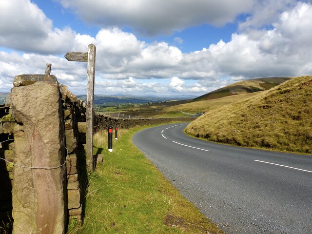
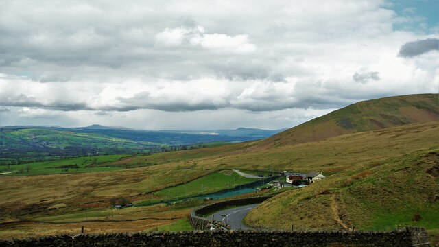
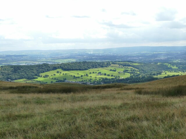
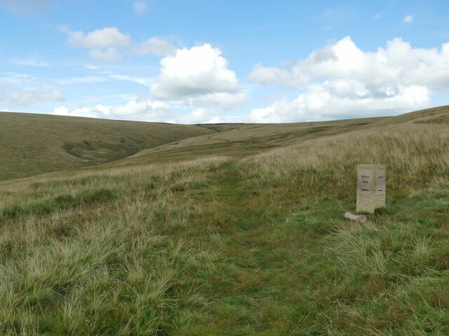
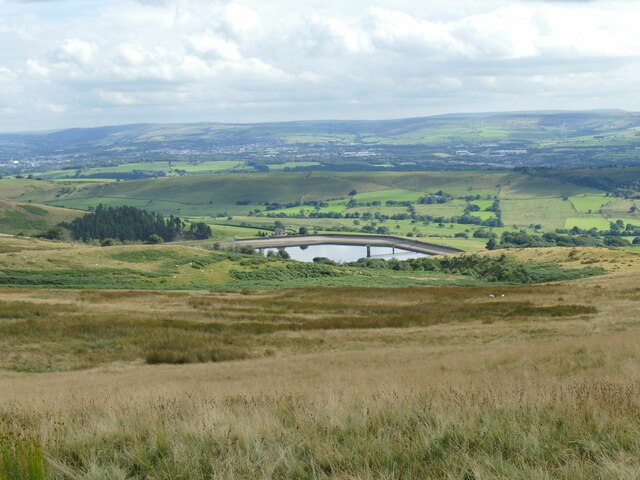
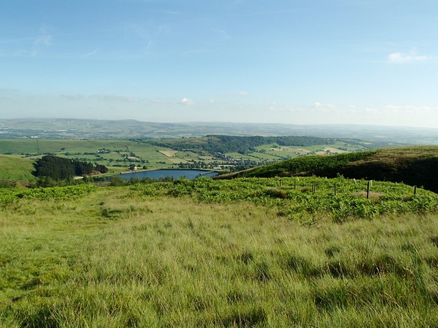
Churn Clough is a picturesque valley located in the county of Lancashire, England. Situated in the western part of the county, this stunning valley is encompassed by the rolling hills of the Forest of Bowland, a designated Area of Outstanding Natural Beauty.
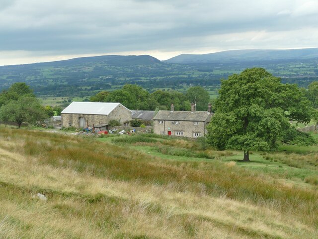
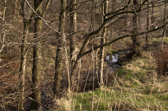
The valley itself is characterized by its lush green landscape, dotted with charming farms and scattered woodland areas. The meandering River Churn flows through the heart of the valley, adding to its natural beauty and providing a habitat for various wildlife species.
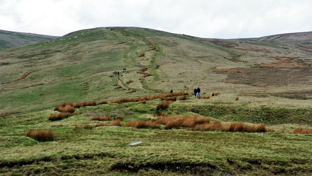
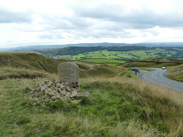
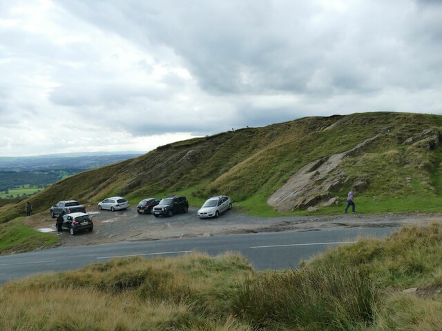
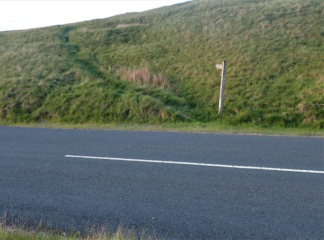
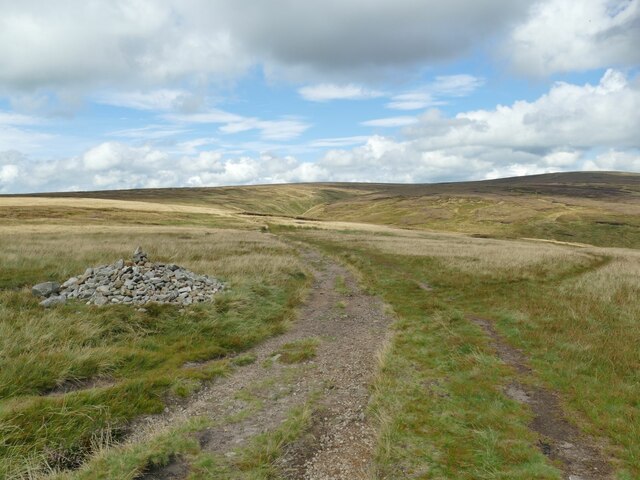
Churn Clough is a popular destination for outdoor enthusiasts and nature lovers alike, offering a range of activities such as hiking, cycling, and birdwatching. The valley is crisscrossed by an extensive network of footpaths and trails, allowing visitors to explore the area and take in the breathtaking scenery.
In addition to its natural attractions, Churn Clough is also home to a number of historic landmarks. The valley is dotted with traditional stone-built farmhouses and barns, some of which date back several centuries. These buildings showcase the area's rich agricultural heritage and add to the overall charm of the valley.
Churn Clough is a hidden gem in Lancashire, offering a tranquil escape from the hustle and bustle of city life. Its unspoiled natural beauty, combined with its historical significance, make it a must-visit destination for those seeking a peaceful retreat in the heart of the English countryside.
If you have any feedback on the listing, please let us know in the comments section below.
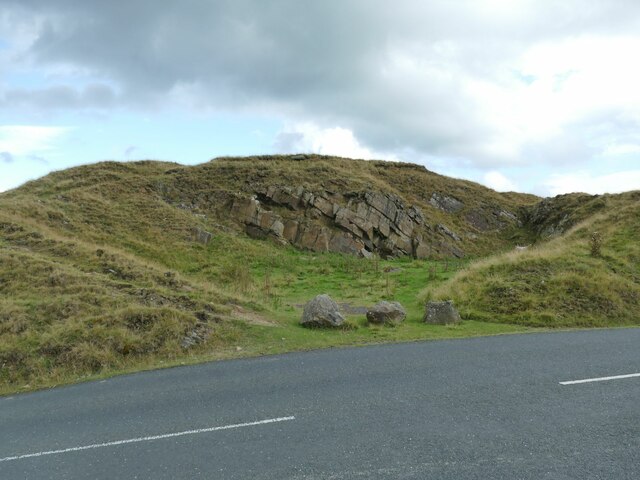
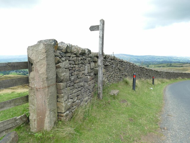
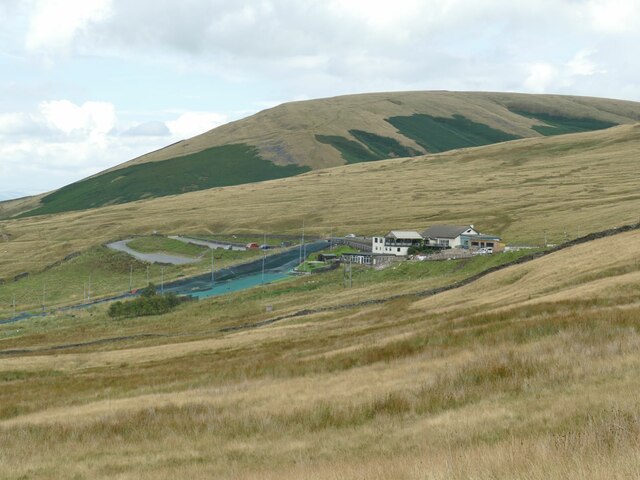
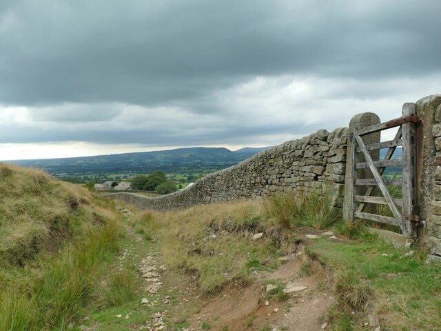
Churn Clough Images
Images are sourced within 2km of 53.83918/-2.3337131 or Grid Reference SD7838. Thanks to Geograph Open Source API. All images are credited.

Churn Clough is located at Grid Ref: SD7838 (Lat: 53.83918, Lng: -2.3337131)
Administrative County: Lancashire
District: Ribble Valley
Police Authority: Lancashire
What 3 Words
///crinkled.corkscrew.dream. Near Sabden, Lancashire
Nearby Locations
Related Wikis

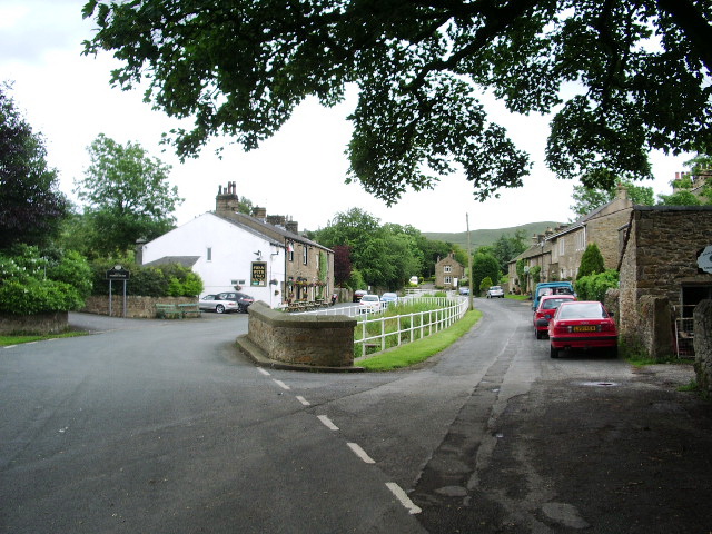
Sabden
Sabden is a village and civil parish in the Ribble Valley, Lancashire, England. Sabden is located south of Pendle Hill, in a valley about three miles north...
Pendleton, Lancashire
Pendleton is a small village and civil parish in Ribble Valley, within the county of Lancashire, England. It is close to the towns of Whalley and Clitheroe...

Higham, Lancashire
Higham is a village in the Borough of Pendle in Lancashire, England, south of Pendle Hill. The civil parish is named Higham with West Close Booth. The...

Huntroyde Hall
Huntroyde Hall is a grade II listed, 16th-century house in the civil parish of Simonstone in the Borough of Ribble Valley, Lancashire, England. Its estate...
Related Videos

Pendle Hill
My 1st ever time flying a drone. Took on Pendle Hill in Lancashire UK.
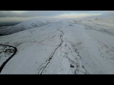
Snow Covered Pendle Hill
Aerial view of a snow covered Pendle Hill.
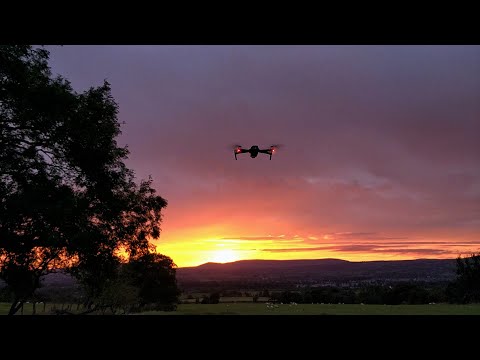
Pendle Hill Sunset
Pendle hill filmed from the air with a DJI Mavic drone. A fiery sunset to finish the day.

Sunset view in England
a beautiful sunset in UK.
Nearby Amenities
Located within 500m of 53.83918,-2.3337131Have you been to Churn Clough?
Leave your review of Churn Clough below (or comments, questions and feedback).